August 13 - 15, 2010
(Click on Images for Larger Picture)

|
|
|
|
|

|
|
|
|

|
|
|
|
|

|
|
|
|
|

|

|
|
|
|
|

|

|
|
|
|
|
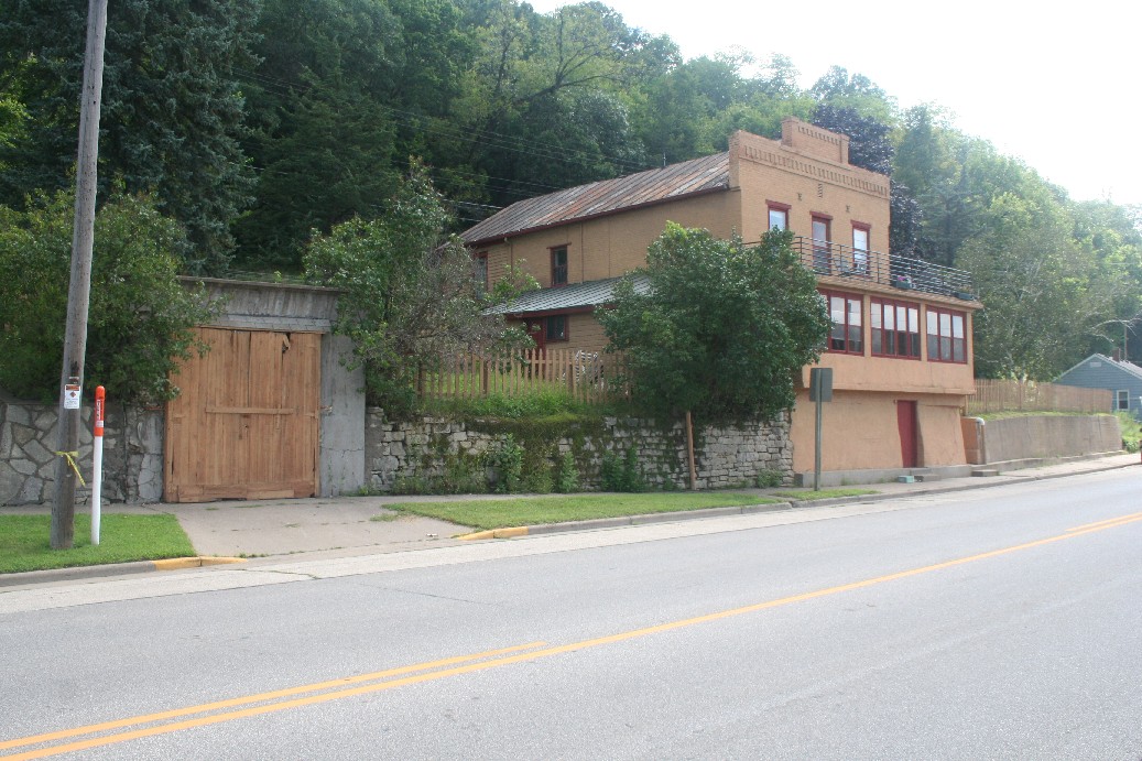
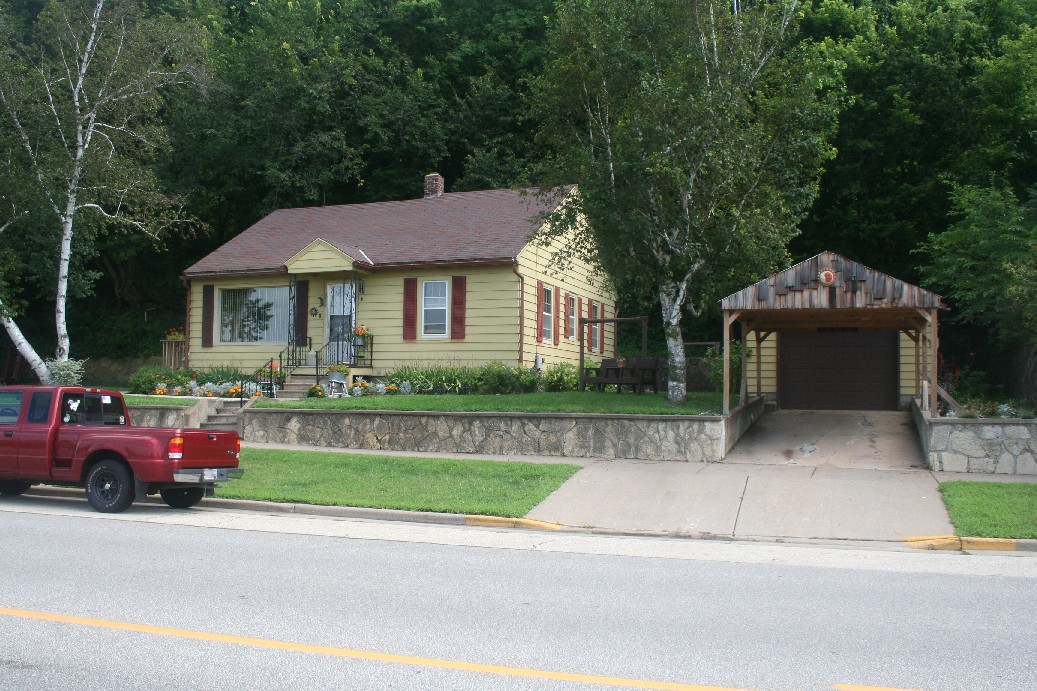
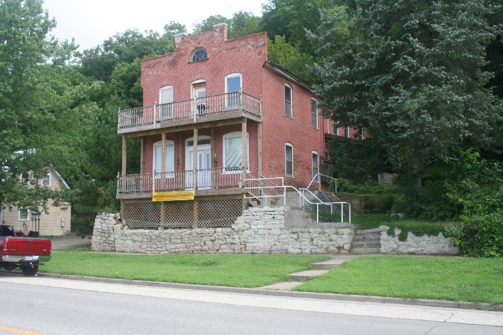
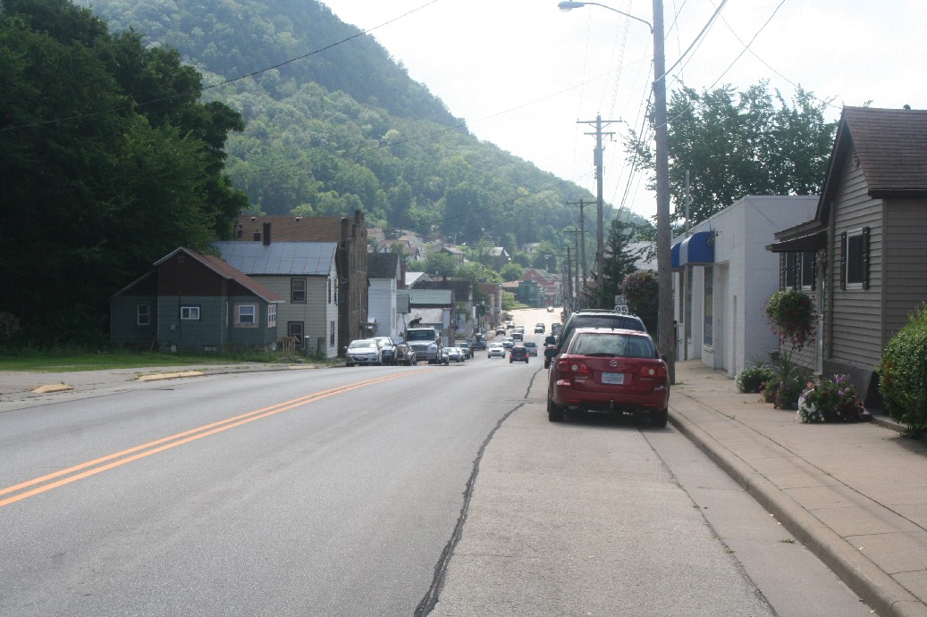
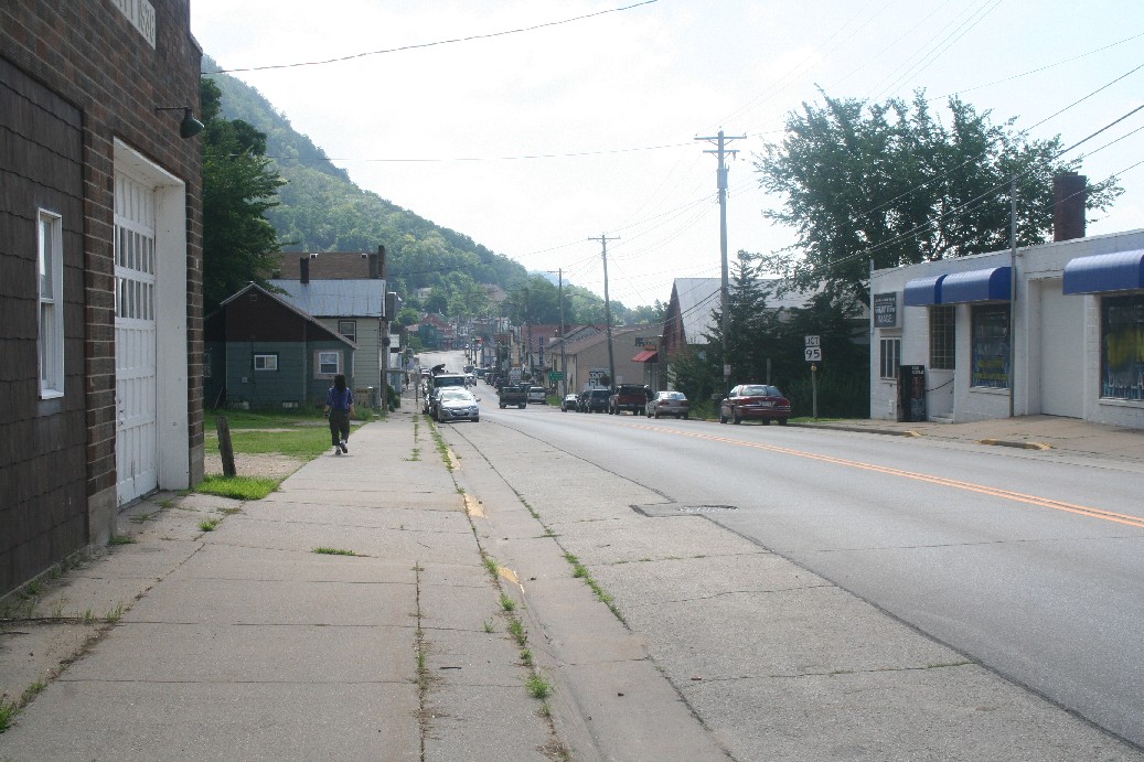
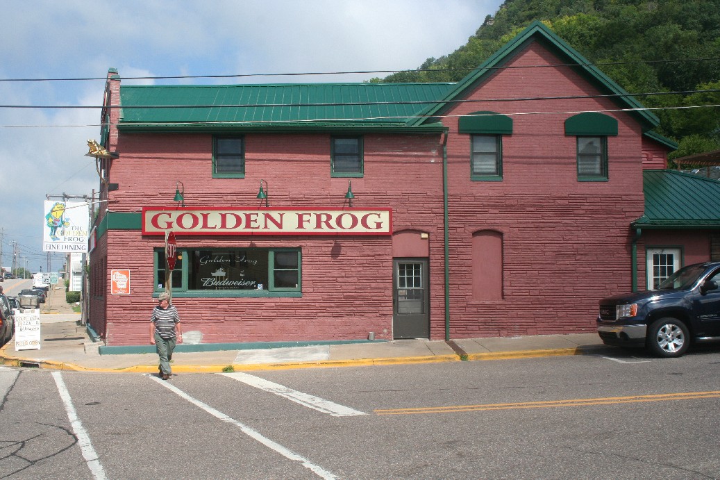
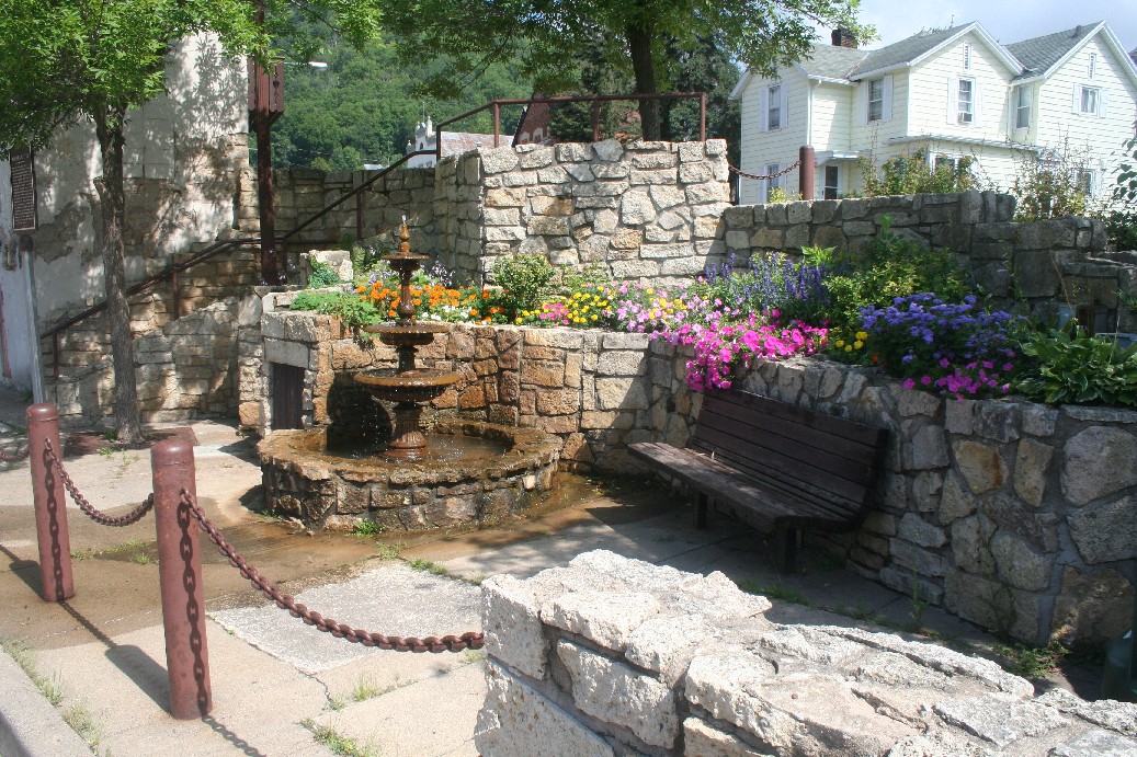
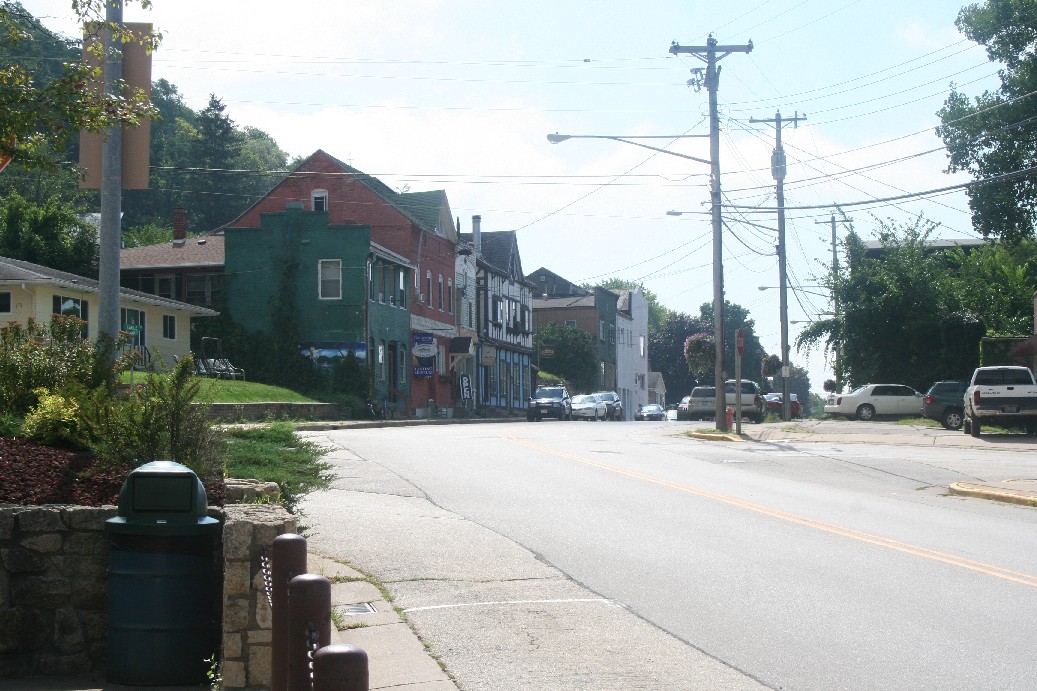
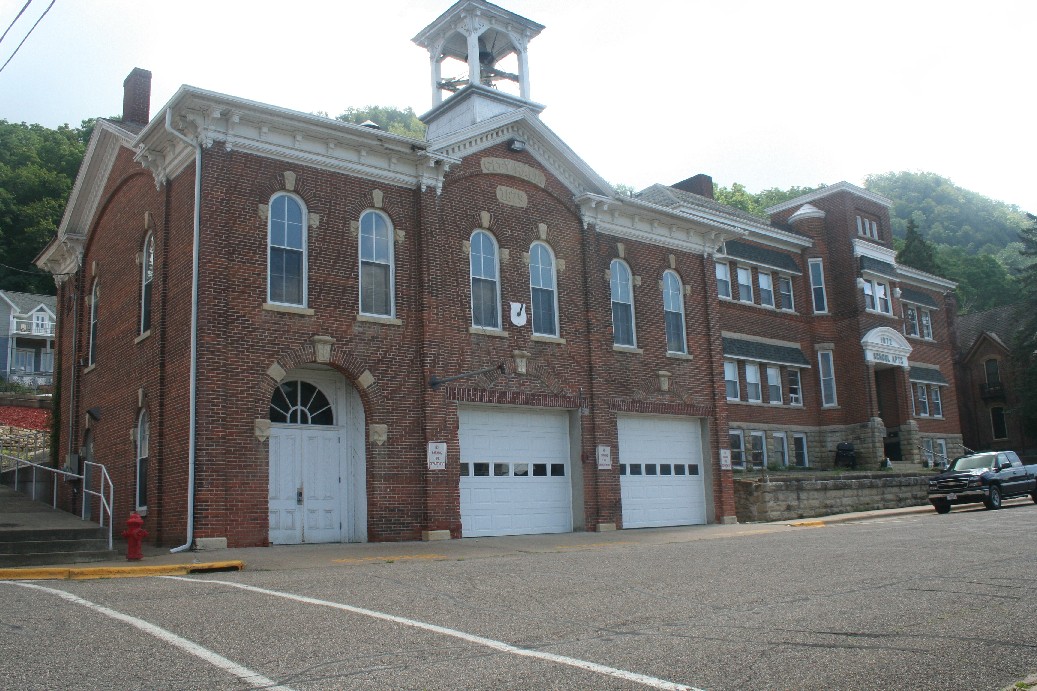
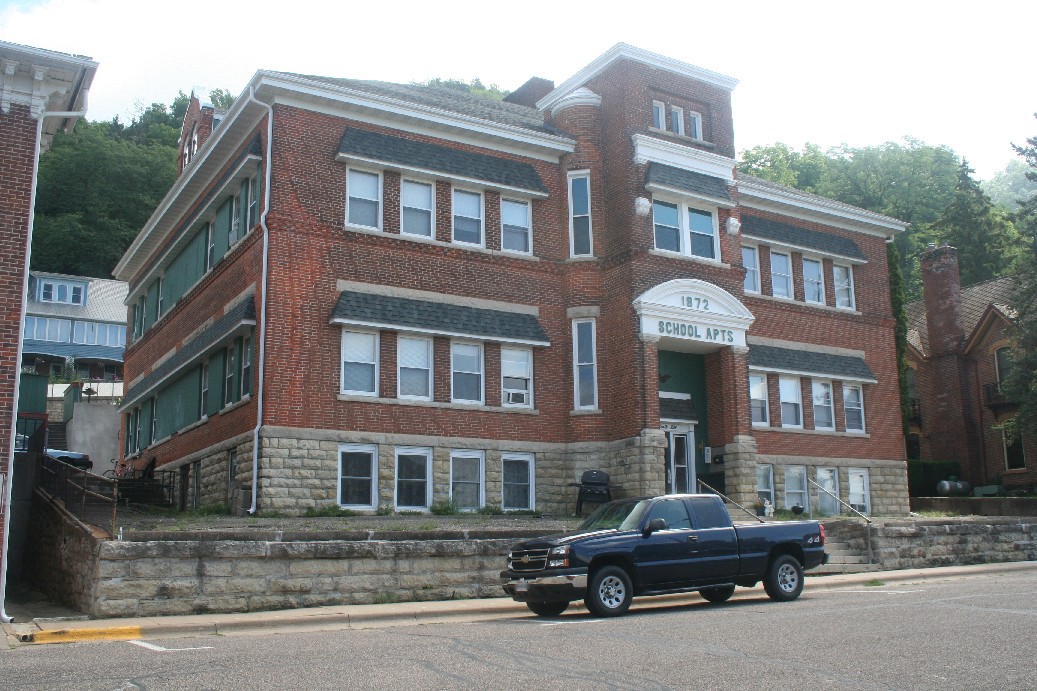
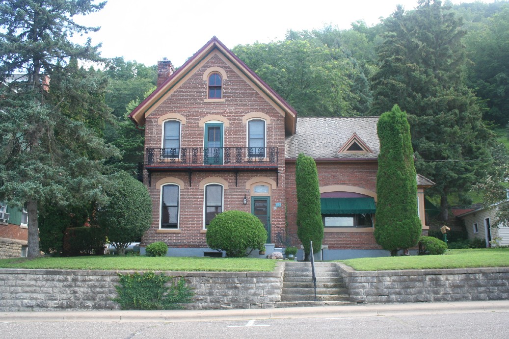
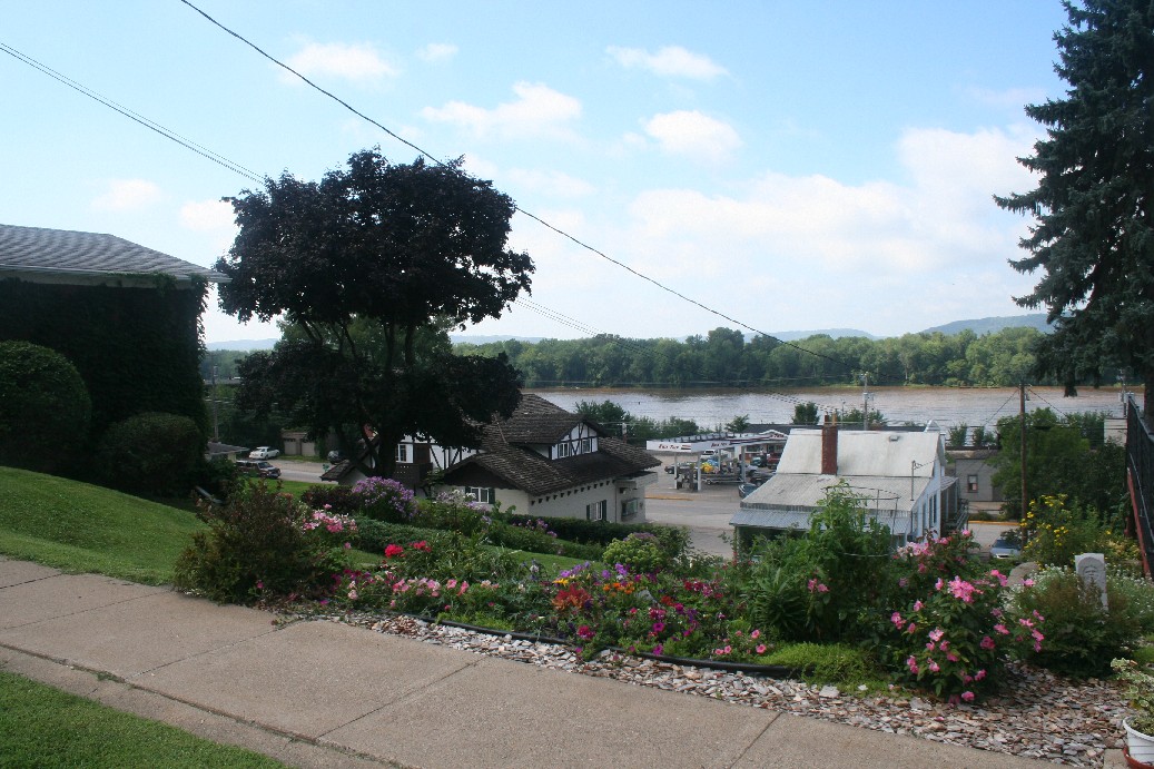
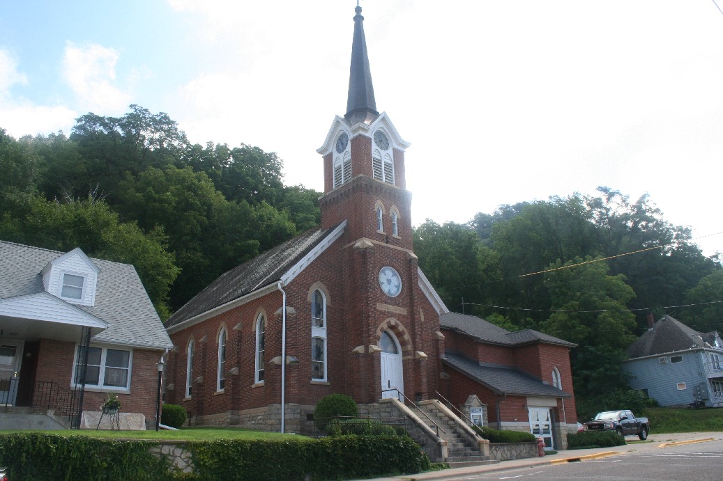
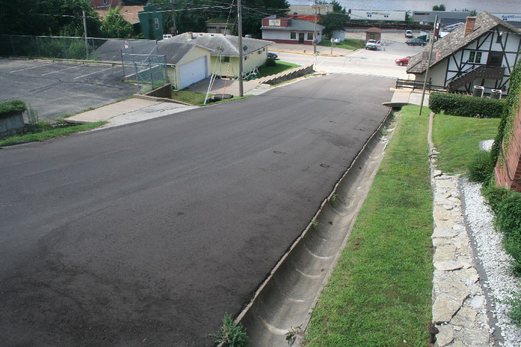
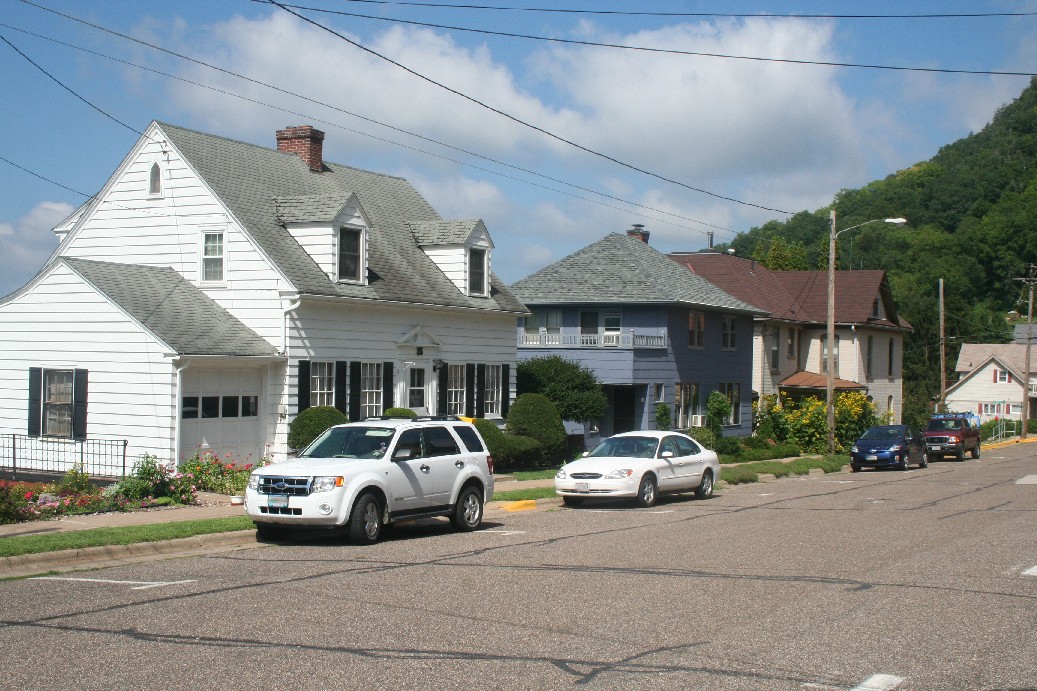
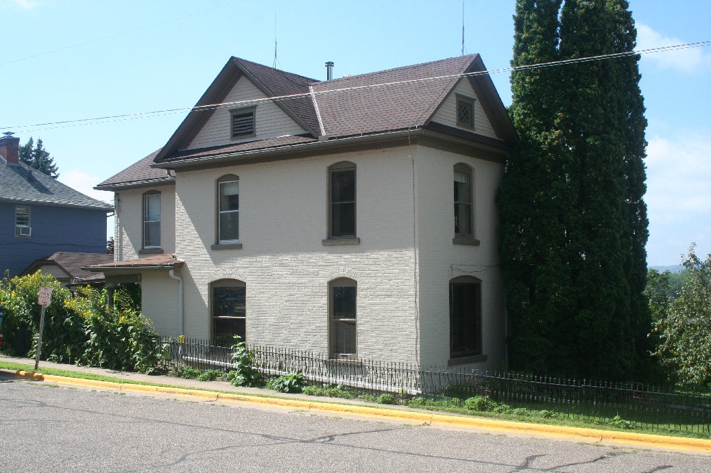
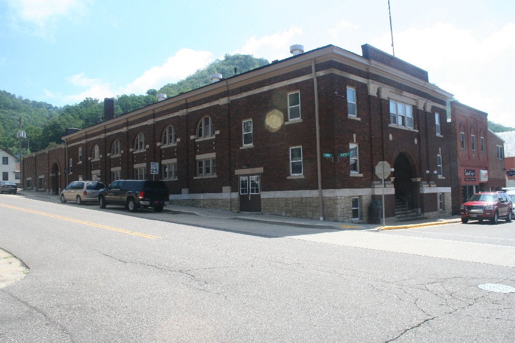
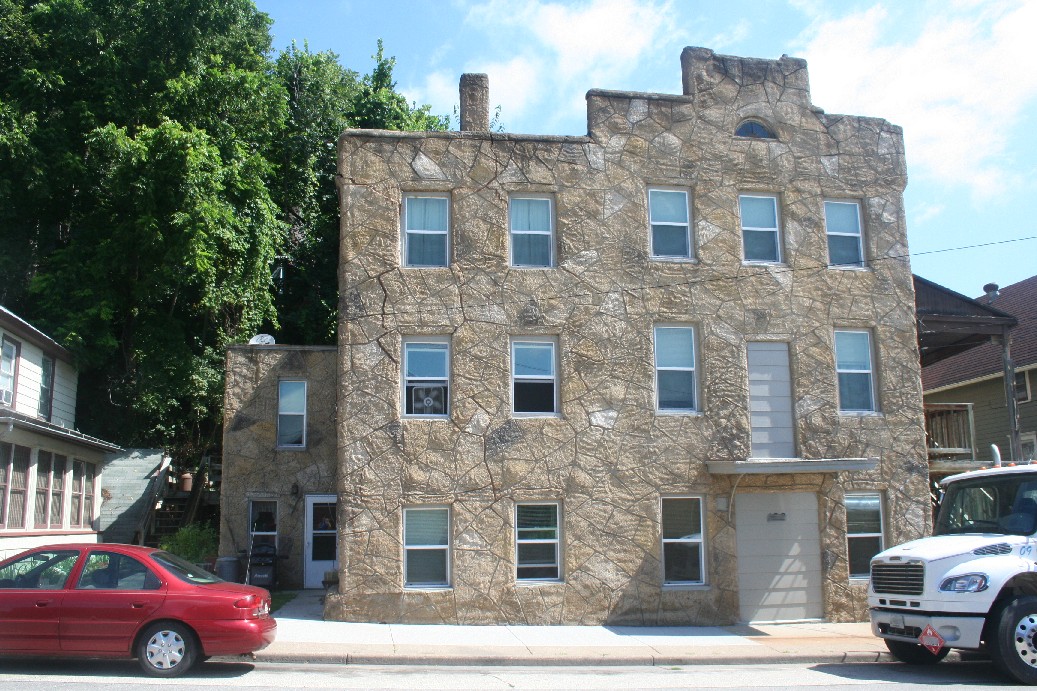
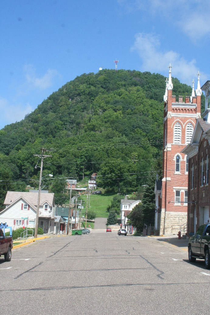
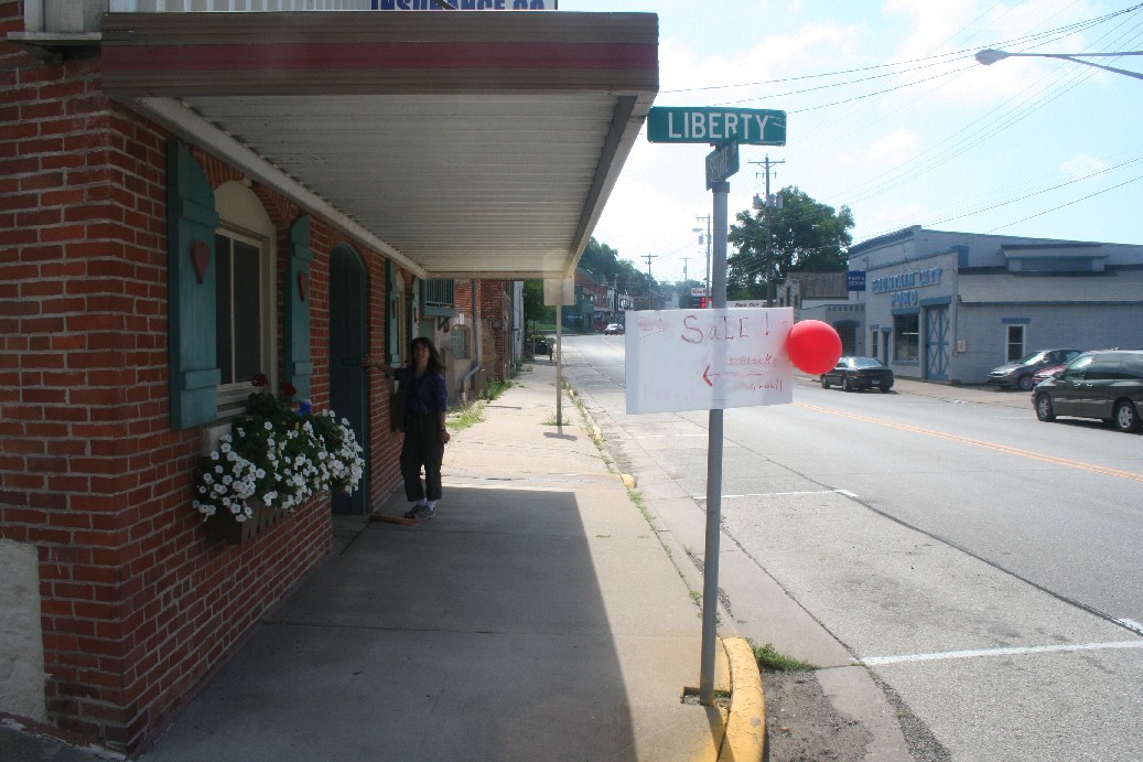
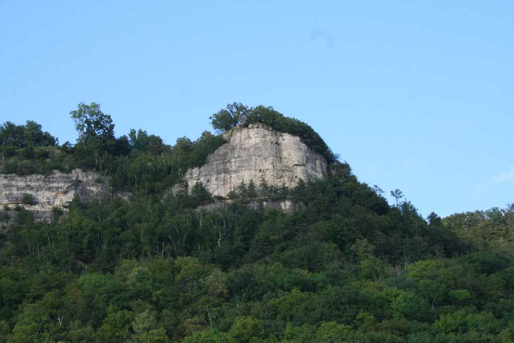
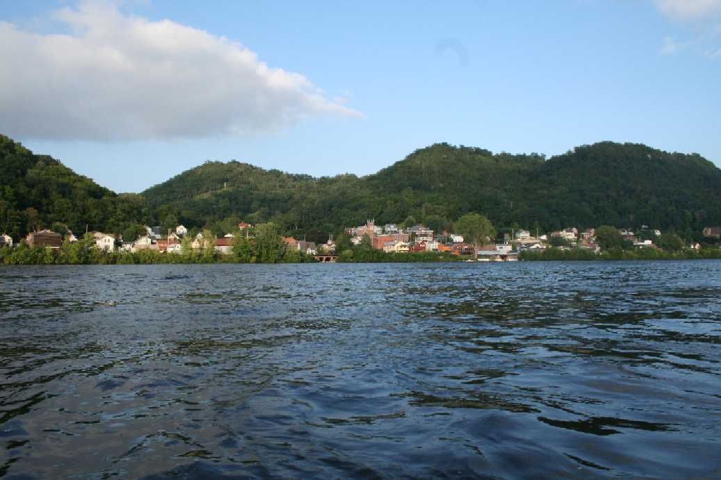
This was our first trip back to Merrick State Park in Wisconsin this year. Last year we explored the area a little bit, but we spent most of the time either in the park on on the river. This year we made it a point to explore the nearby community of Fountain City, Wisconsin a bit more. It is a wonderful little town set on the east bank of the Mississippi River and stretches up from the river's edge to the towering bluffs above. As you can see in the pictures, there are quite a few interesting homes, churches, businesses, and vistas. I also find the way the community is constructed on the hillside, with the streets winding through the community at odd angles, very interesting, especially to a mid-west flat lander like myself. The fountain garden, that is located at the main intersection in the center of town, is also a very nice touch. In keeping with our pledge to taking in some of the local establishments when traveling, we decided to try The Golden Frog Saloon for lunch. The building has a long standing history (the story is told on the back of the menus) and we were very delighted by the server, the food, and the glass bottled pop. |
(Click on Images for Larger Picture)
|
|
|
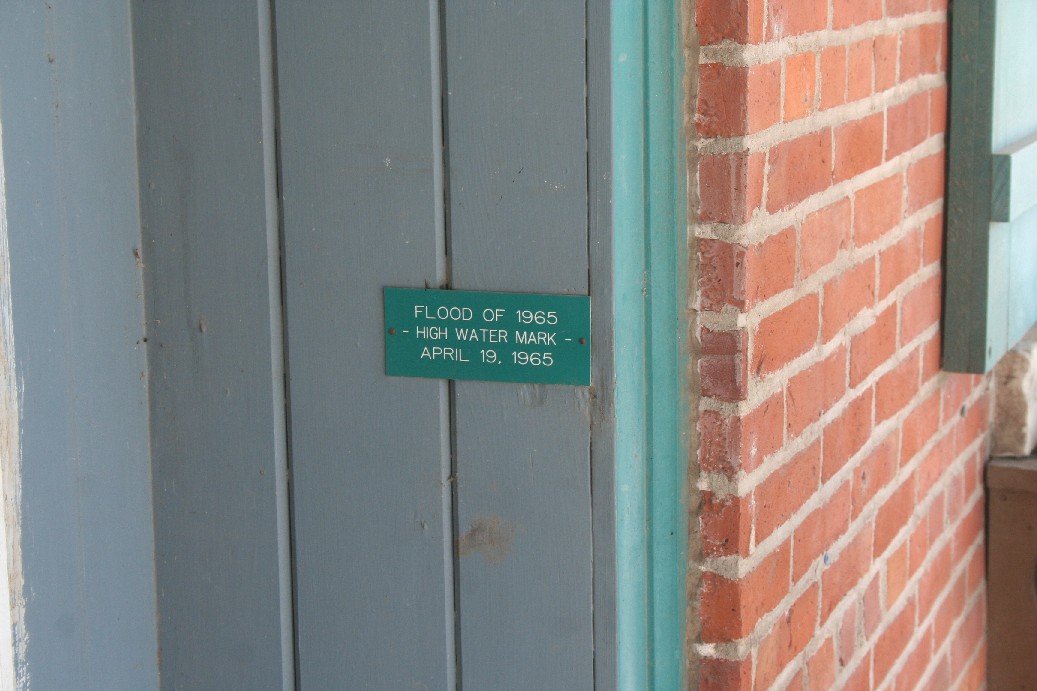
While we were walking, we found and interesting marker in the entry way to a building along the main route through town. It was the flood level reached by the river in 1965. |
(Click on Images for Larger Picture)
|

|

|
|
|
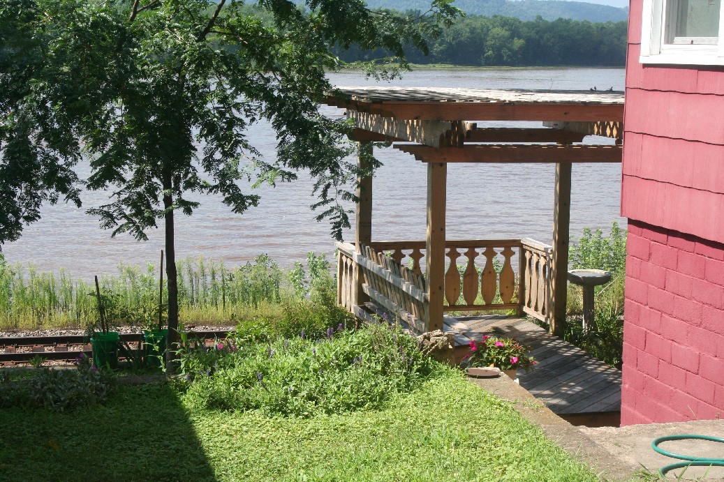
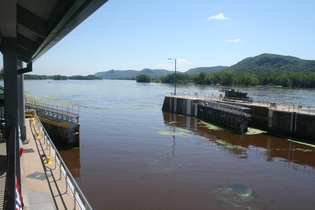
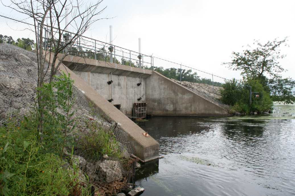
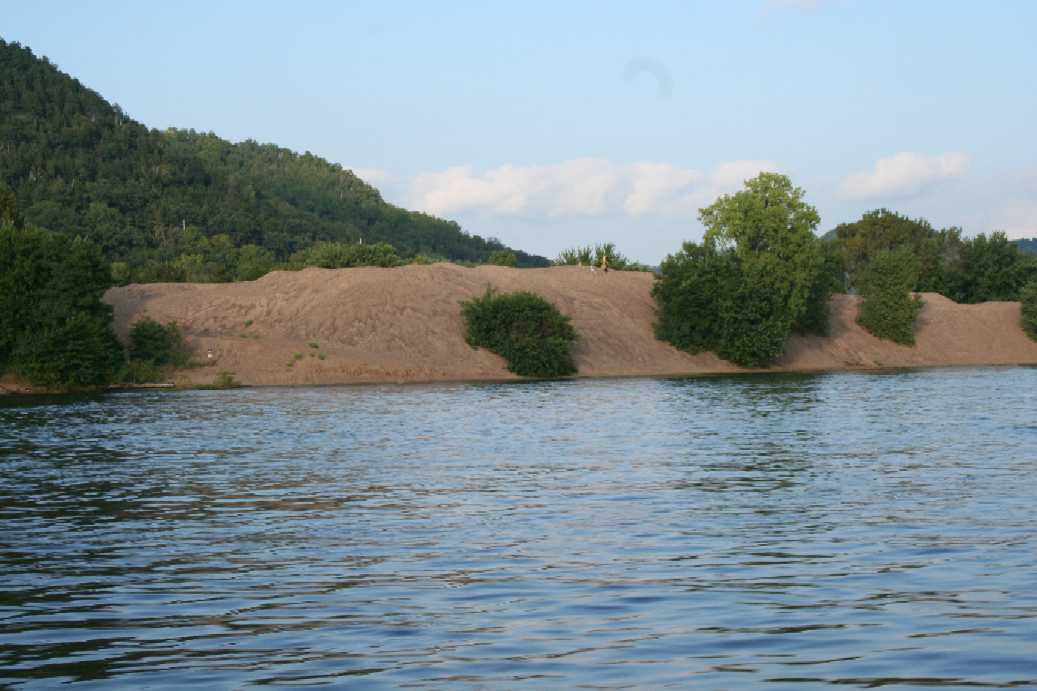
Of course, we had to take a trip down to the dam in Trempealeau, Wisconsin. We were treated to an interesting trip when we missed the last turn to the dam parking lot. We found ourselves traveling along a road that lead to and area filled with river front weekend homes. This year, the water was considerably higher than last year. When we watched a boat pass through the lock, we noticed that the water only changed level by about a foot to a foot and a half. |
(Click on Images for Larger Picture)
|

|
|
|
|

|
|
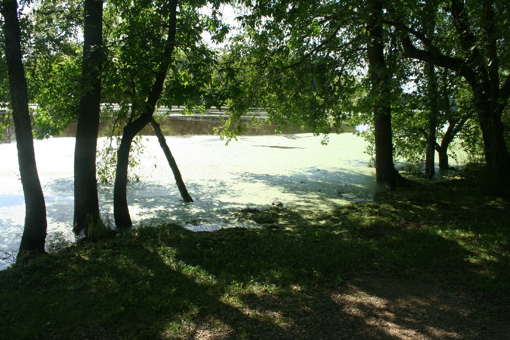
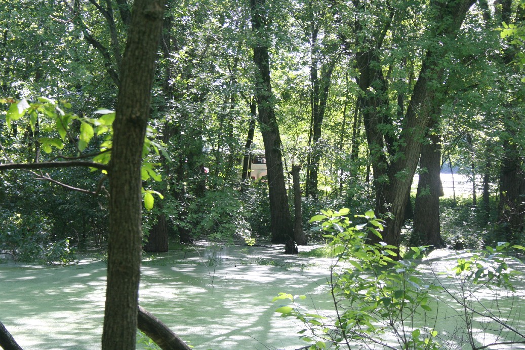
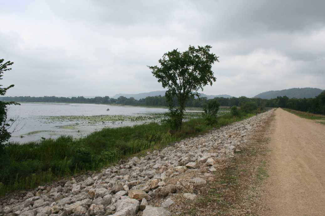
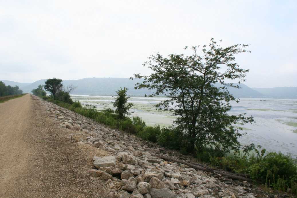
And a few pictures from around camp. As I mentioned before, the water was up quite a bit this year. The first few pictures show the channel leading to the river, and you can see that the water is nearly at the level of the campsite. The third picture shows a campsite on the back loop of the campground. The water was only a foot or two below the driveway and pad of the site. |
Merrick State Park, Mississippi River, and Winona, MN
August 22 - 27, 2010
Mississippi River
(Click on Images for Larger Picture)
|

|
|
|
|
|
|
|
|
|
|
|
|
|
|
|
|

|
|
|
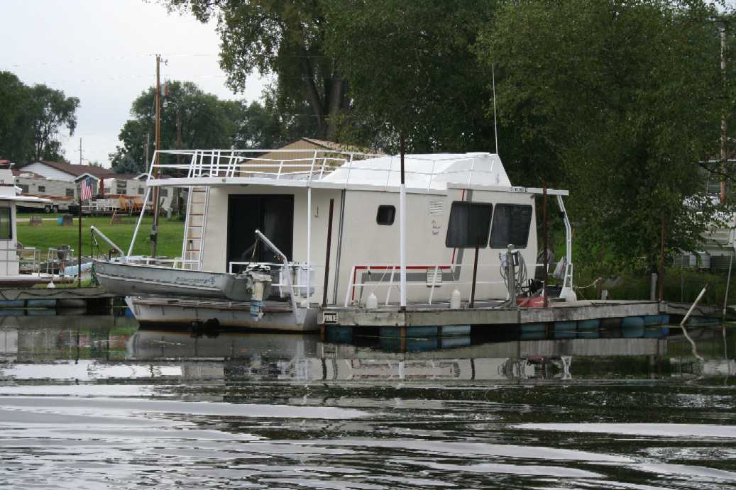
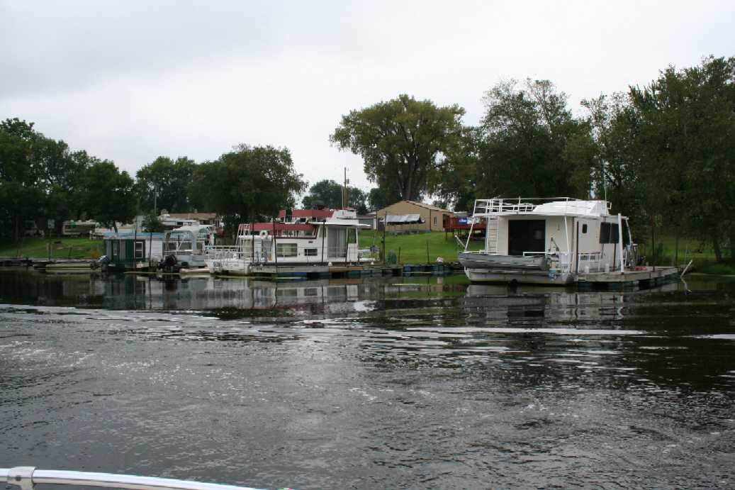
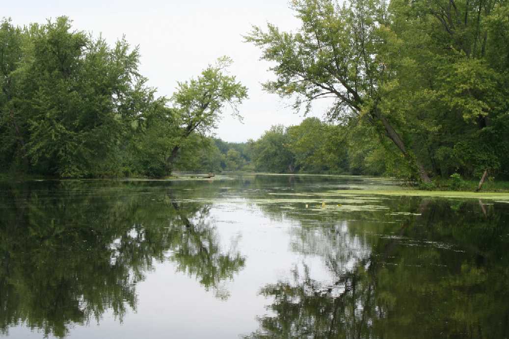
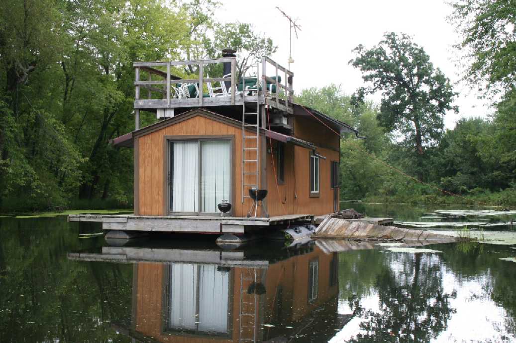
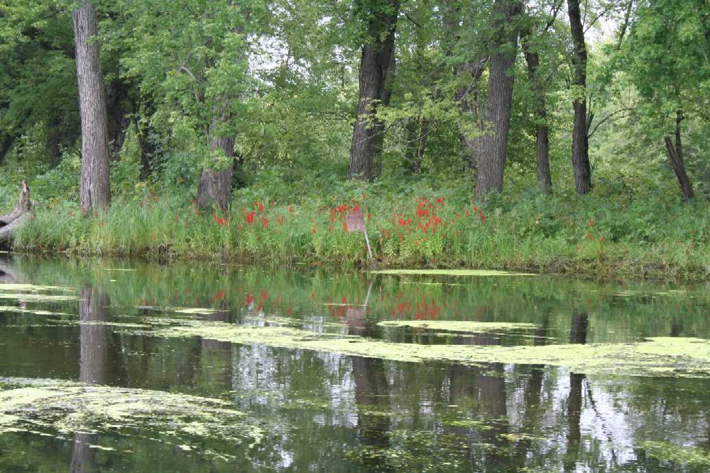
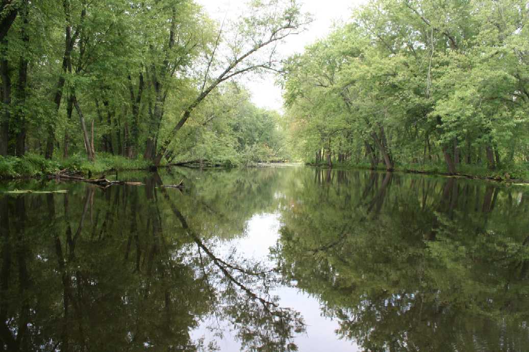
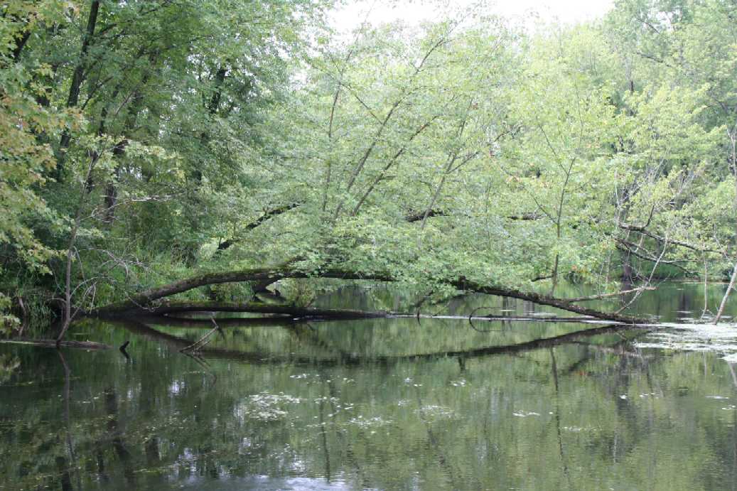
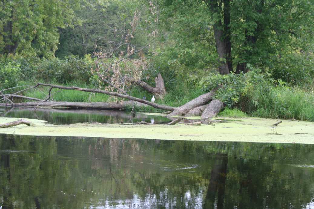
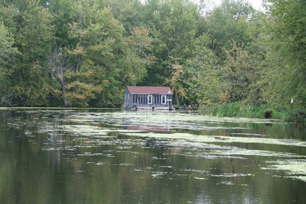
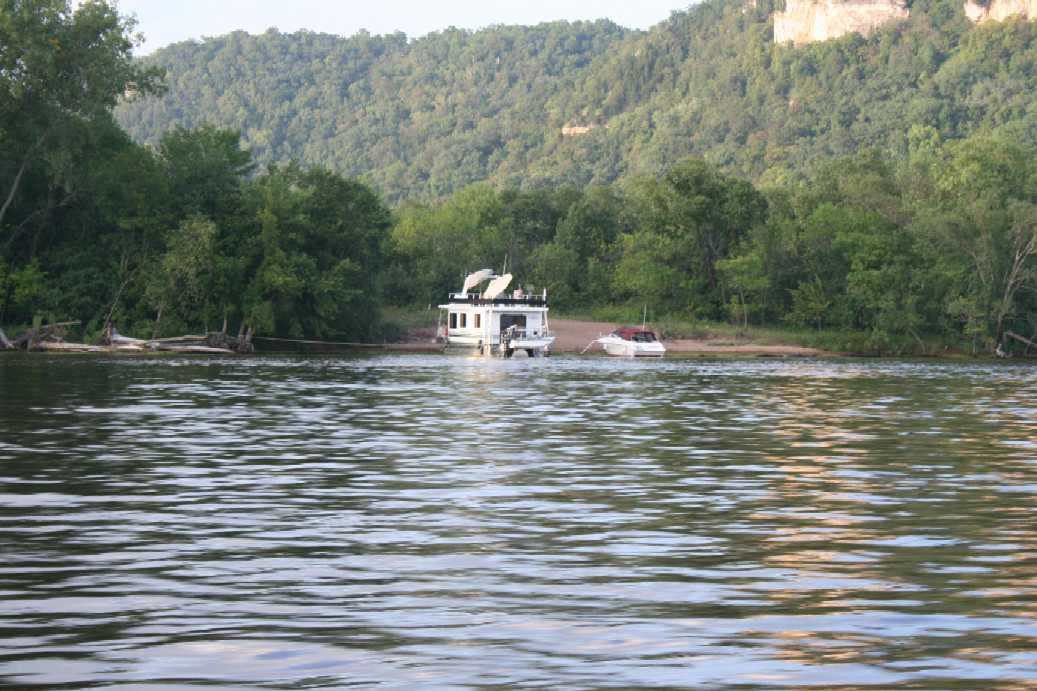
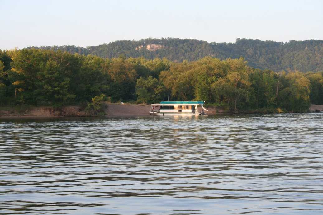
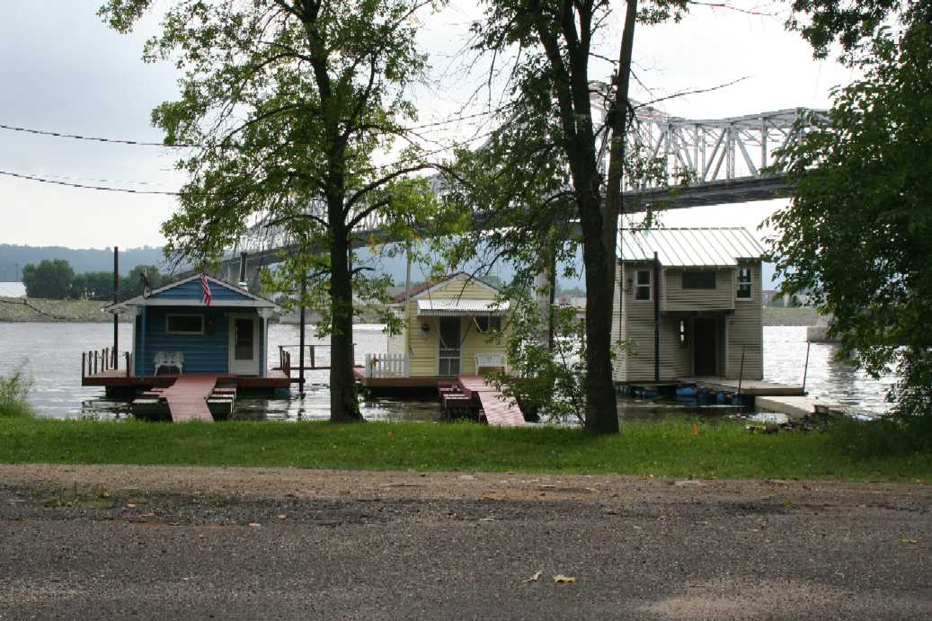
This was our second trip back to Merrick State Park and this time we were joined by my brother. The pictures above were from the first trip we took up the back water; exploring its origins. It was amazing to see some of the activity that we encountered along the way. We knew about the resort just up the way from our camp, but it was interesting to see the floating houses hidden away in the back waters. Our trip eventually took us to the tubes, constructed in the levy, where some of the water from the Mississippi River pass through and make up a good portion of the channel water. I should mention that our trip this year was due to the river water being so high. It allowed us to take the boat up passages that normally would have been closed. Of course we did get hung up on some fallen trees, but with a little muscle power and wading in water we were able to free the boat. Otherwise, it would have been a long hike or swim back to camp. |
(Click on Images for Larger Picture)
|
|
|
|
|
|
|
|
|
|
|
|
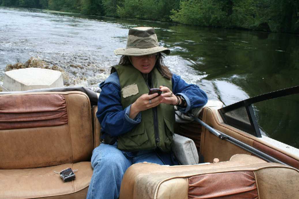
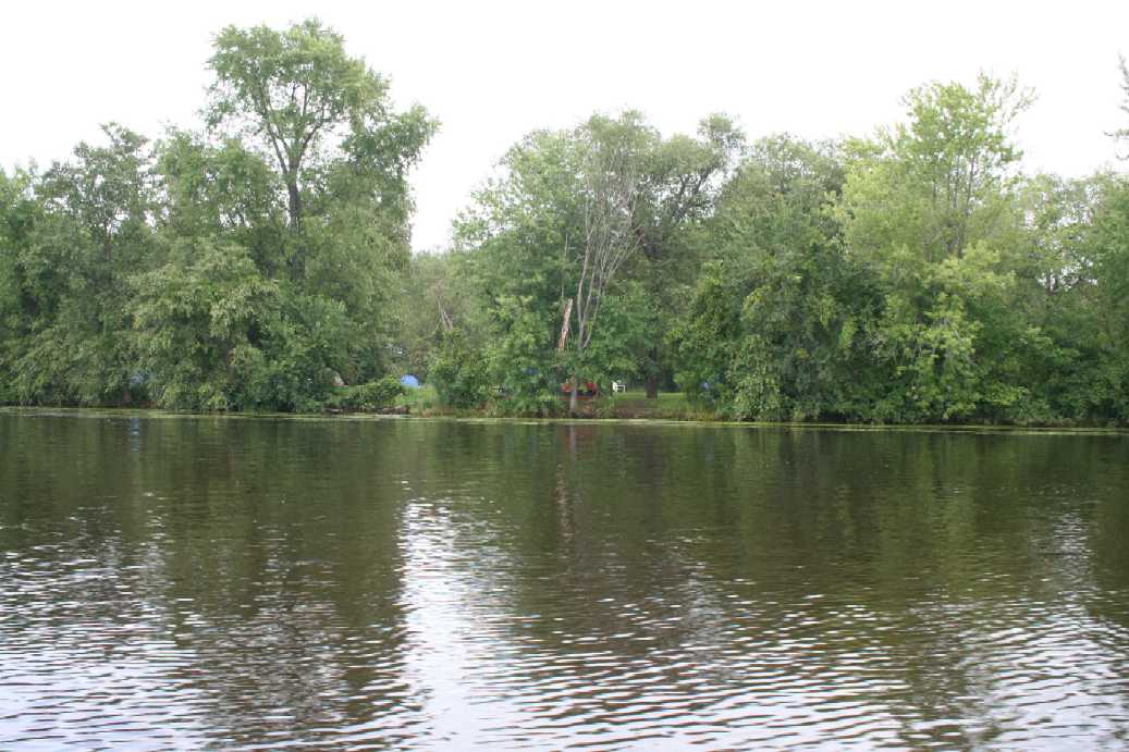
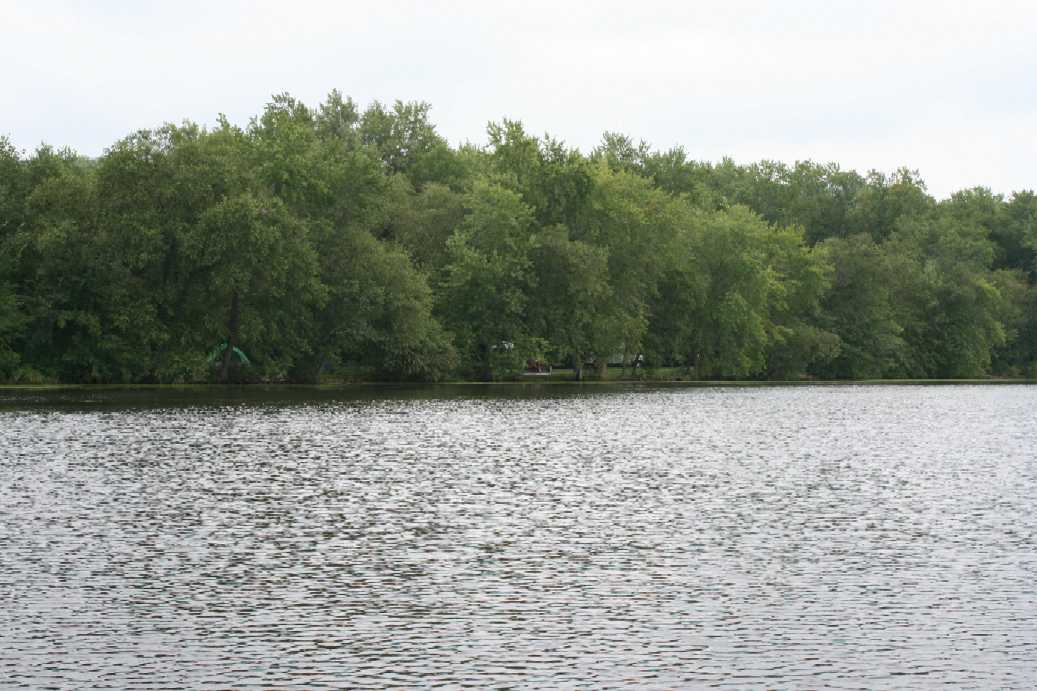
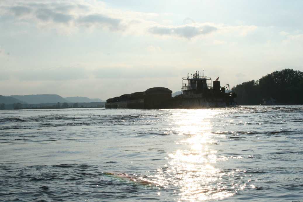
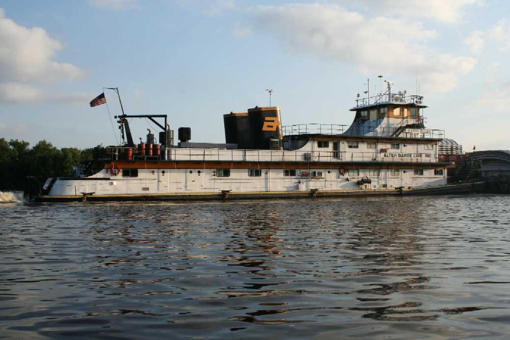
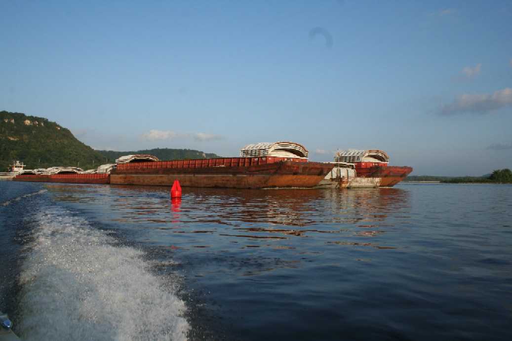
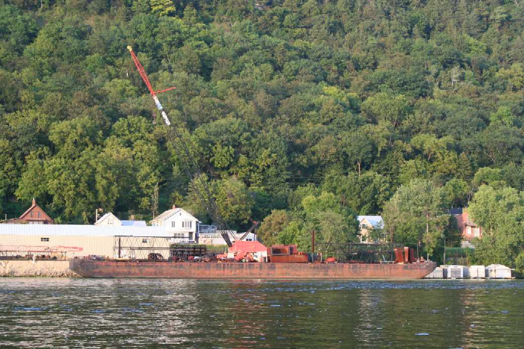
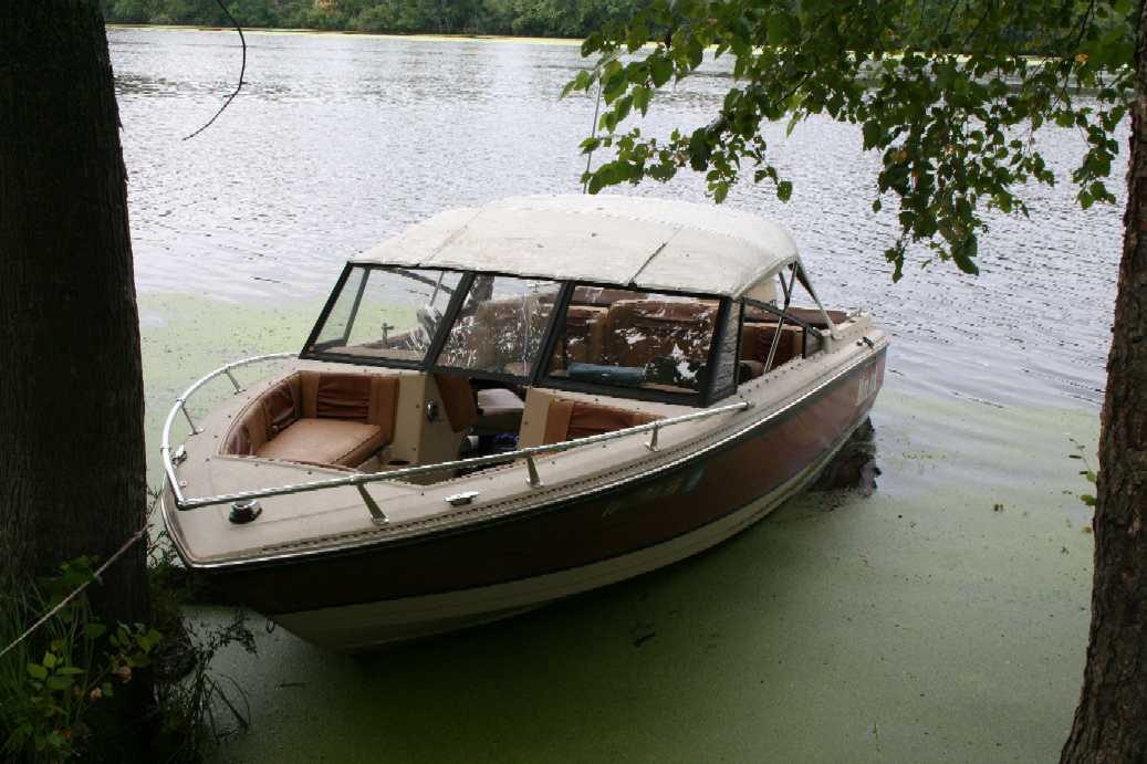
Later on in the afternoon, we decided to take a trip out into the main channel of the river. As usual, there was quite a bit of activity to see. I would like to point out in the first picture, there was an object hanging along side of the bluff face, but we couldn't quite make out what it was. I'm still not too certain after zooming in on the image. |
(Click on Images for Larger Picture)
|
|

|
|
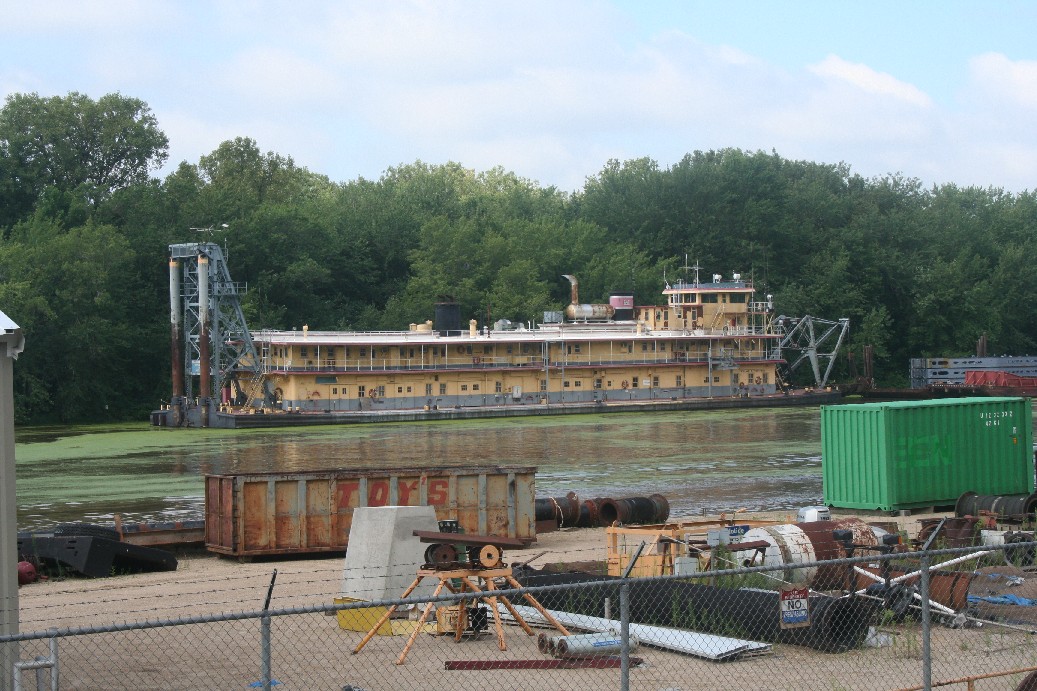
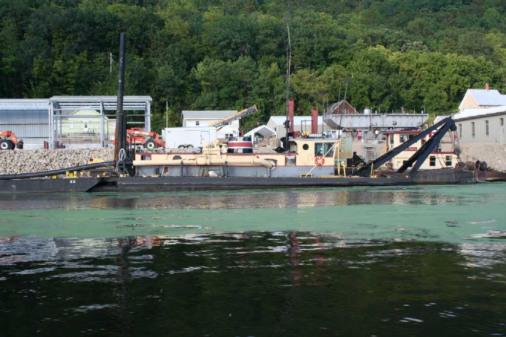
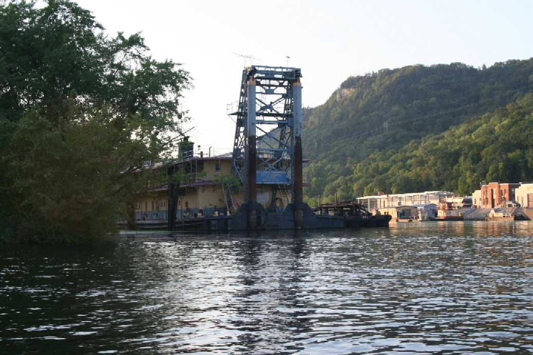
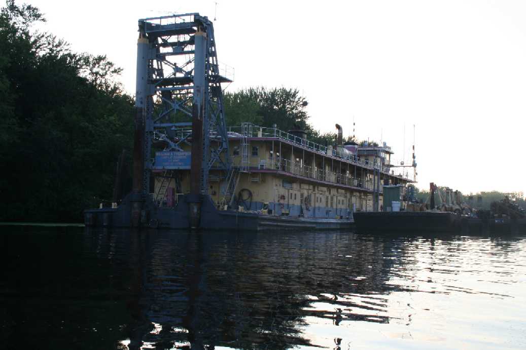
Here are some more pictures of the Army Corps of Engineers dredger. I always find it to be an impressive sight. This year, I was able to get a good look at the business end of the dredger, as seen in the last picture. |
Winona, Minnesota
(Click on Images for Larger Picture)

|

|
|
|
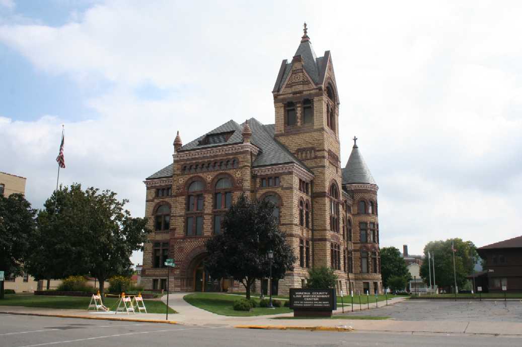
Our trip to and from Merrick always takes us through the community of Winona, Minnesota. I have always wanted to stop and take a look around, but usually we have the Scamp in tow and it can be a nuisance to try and maneuver the streets with the camper. So this year I took a quick trip back to take a few photos of buildings that I found interesting. The three images above are of the Winona County Courthouse. |
(Click on Images for Larger Picture)

|
|
|
|
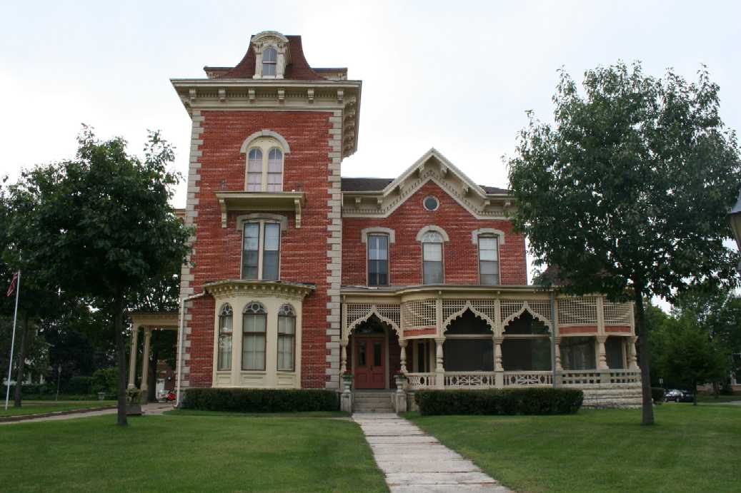
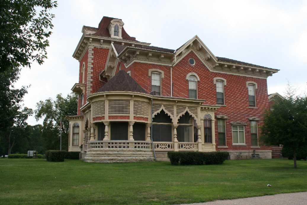
The building above was one Lisa notice as we were heading out of town. This is the historic Huff/Lamberton Residence, and apparently for sale. |
(Click on Images for Larger Picture)
|
|
|
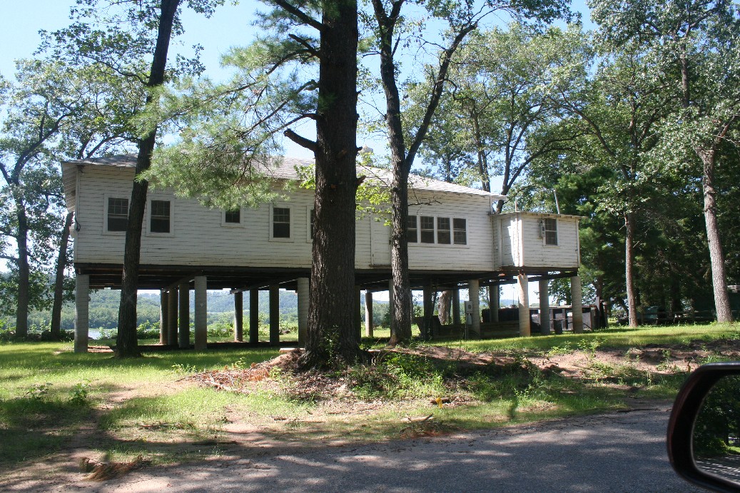
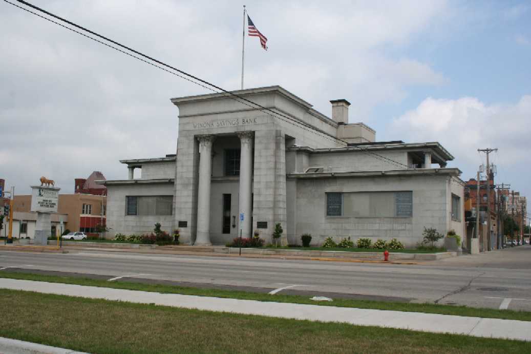
The picture on the left is of an impressive bank. Although I captured most of the building in the picture, it still does not reveal the true impressiveness of the building that you would get when you are standing in front of it. The last picture is of more floating houses that were anchored on an island in the Mississippi River between the states of Minnesota and Wisconsin. I really like the two story one on the right. |
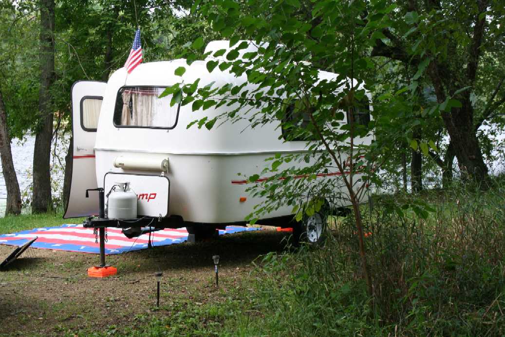
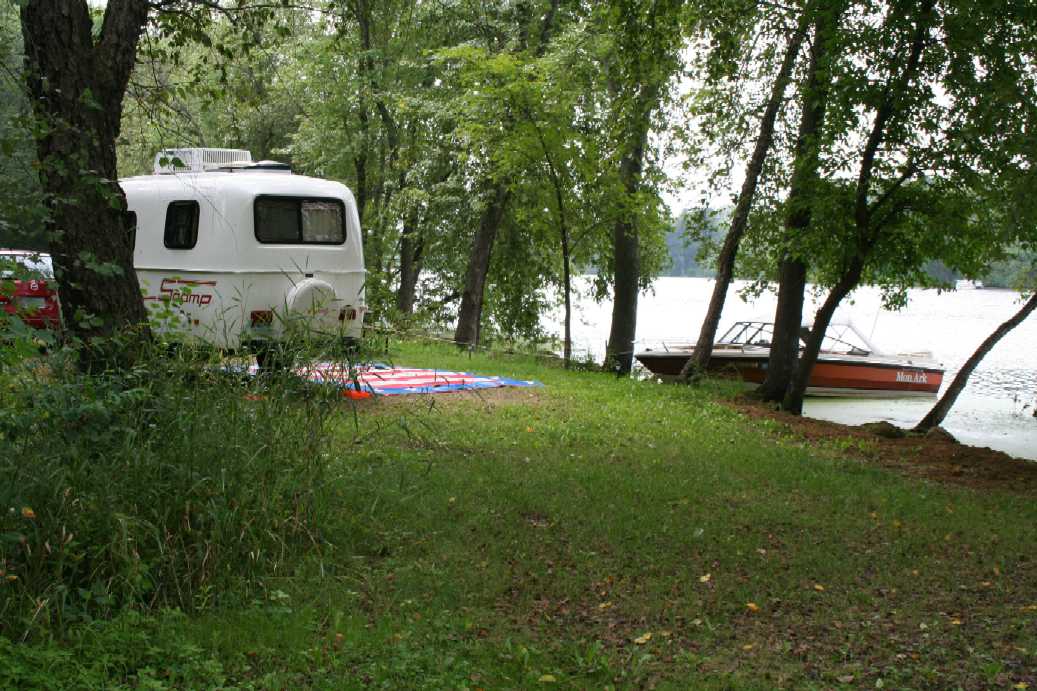
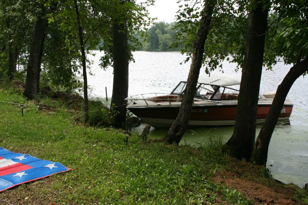
Merrick State Park
(Click on Images for Larger Picture)
|
|
|
|
|

|
|
|
|
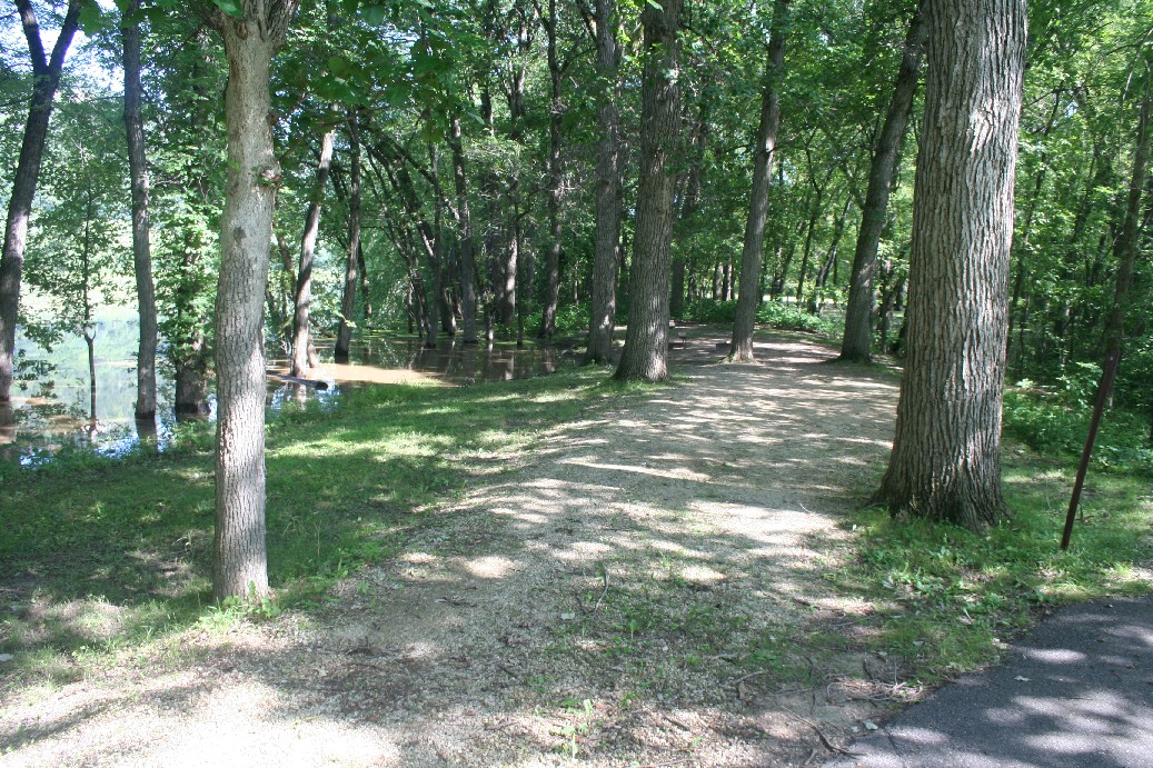
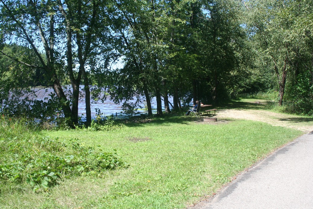
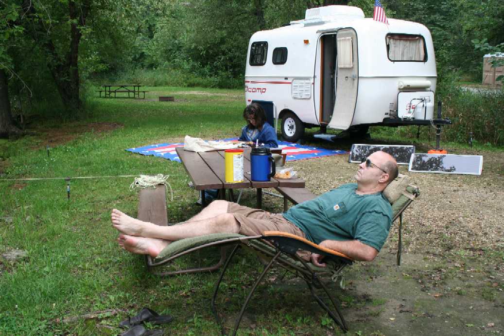
Here are some picture from around camp this time. The temperature was a little warm, but the breeze from the water seemed to keep the humidity in check. |
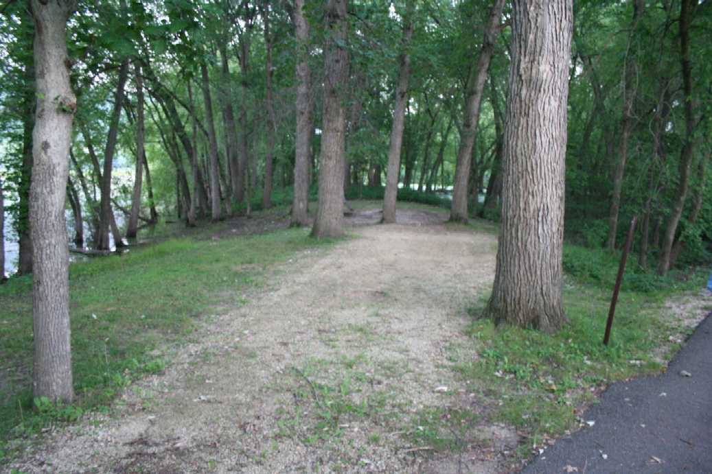
Water is Down
(Click on Images for Larger Picture)
|
|
|
|
|
|
|
|
|
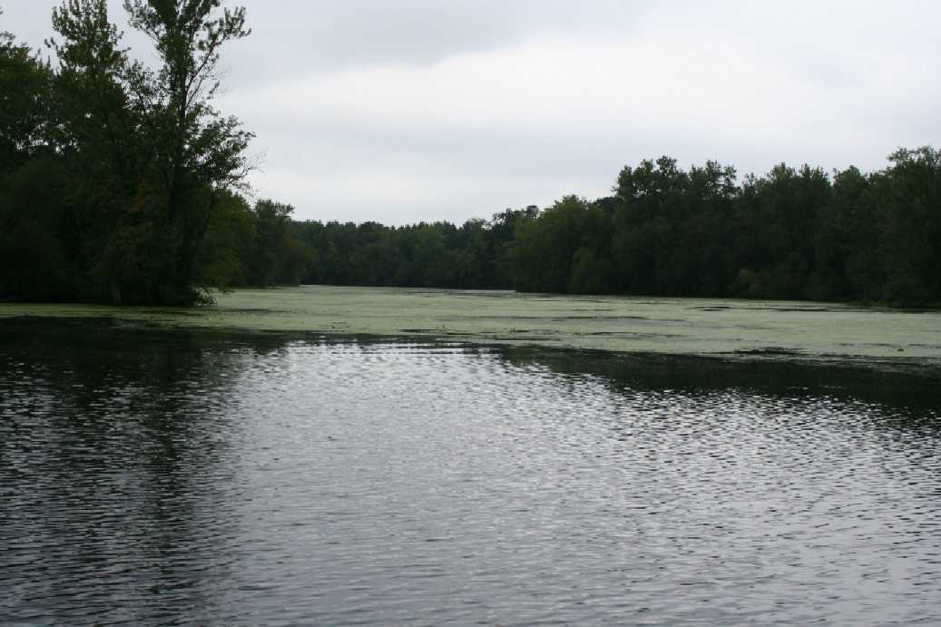
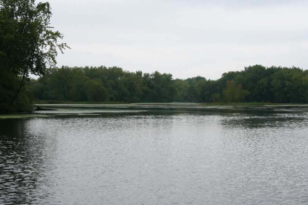
Here are few before and after images of the water going down. The pictures are in pairs and the first picture is from the week before, and the second is the week after. It is amazing that the back water dropped about a foot and a half. |