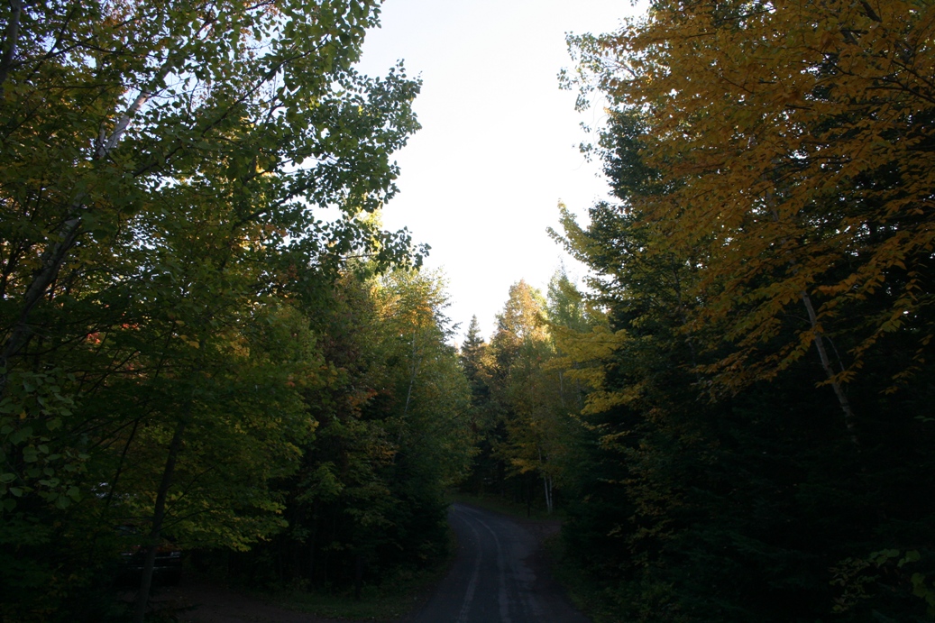
September Travels 2011
Copper Falls State Park 2011
(Click on Images for Larger Picture)
|
The fall colors had already started to show themselves when we arrived, but with
each passing minute, they seemed to change quicker and quicker.
|
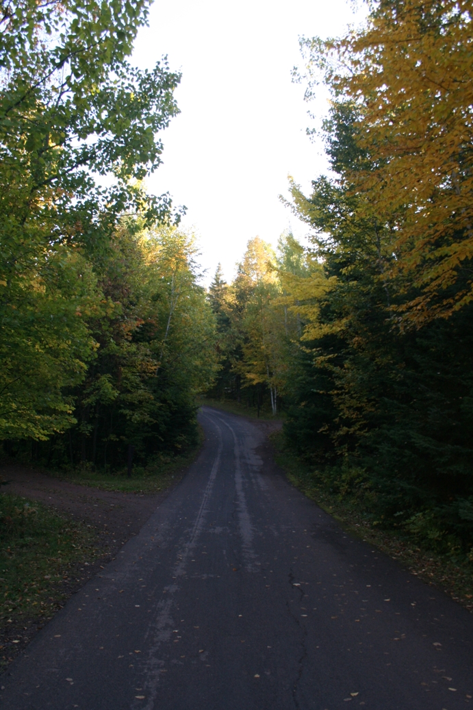
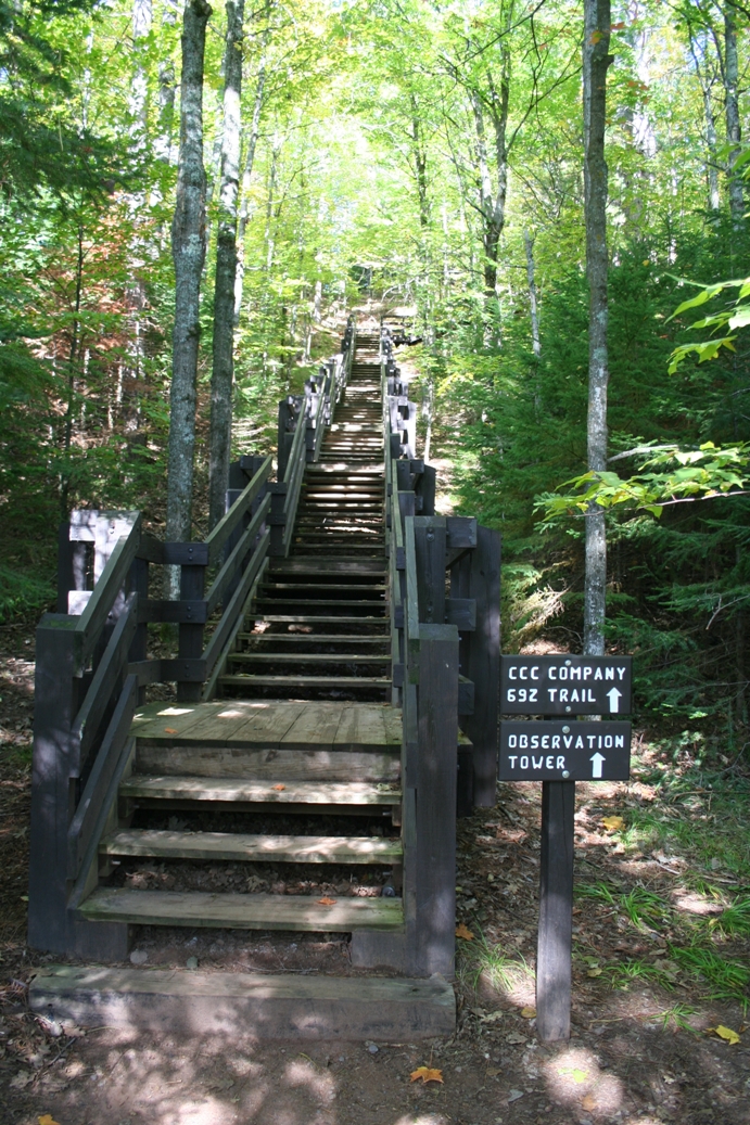
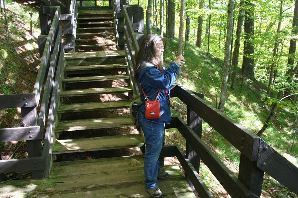
The Dough Boy Trail and Observation Tower
(Click on Images for Larger Picture)
|
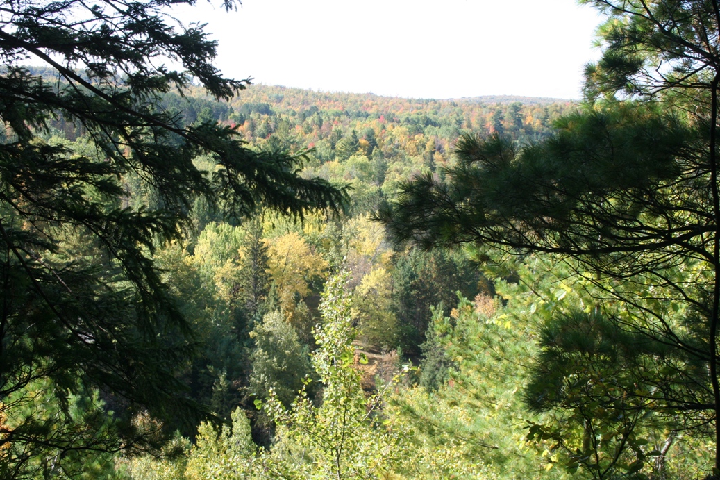
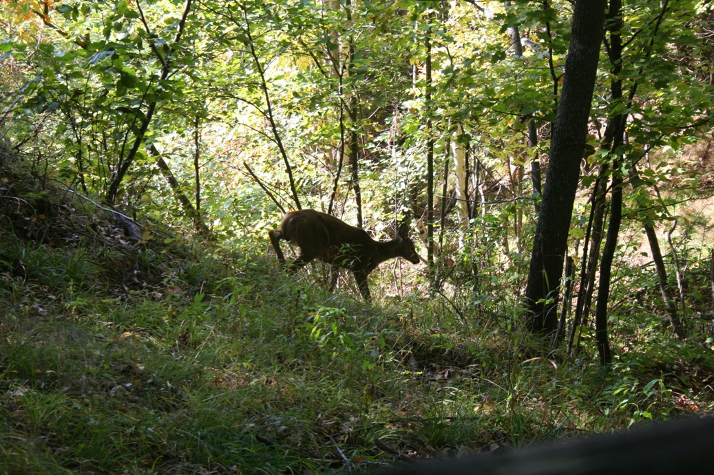
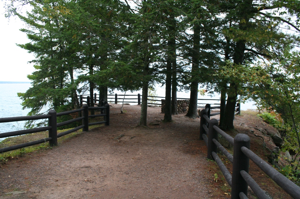
For the first part of this hike, we decided to stop by the observation tower
first. There were quite a few steps to the top of the hill, but they were
easy going steps. Along the trail to the tower, we even came across a
young deer. I don't recall ever getting this close to wild deer while out on a hike.
|
(Click on Images for Larger Picture)
|
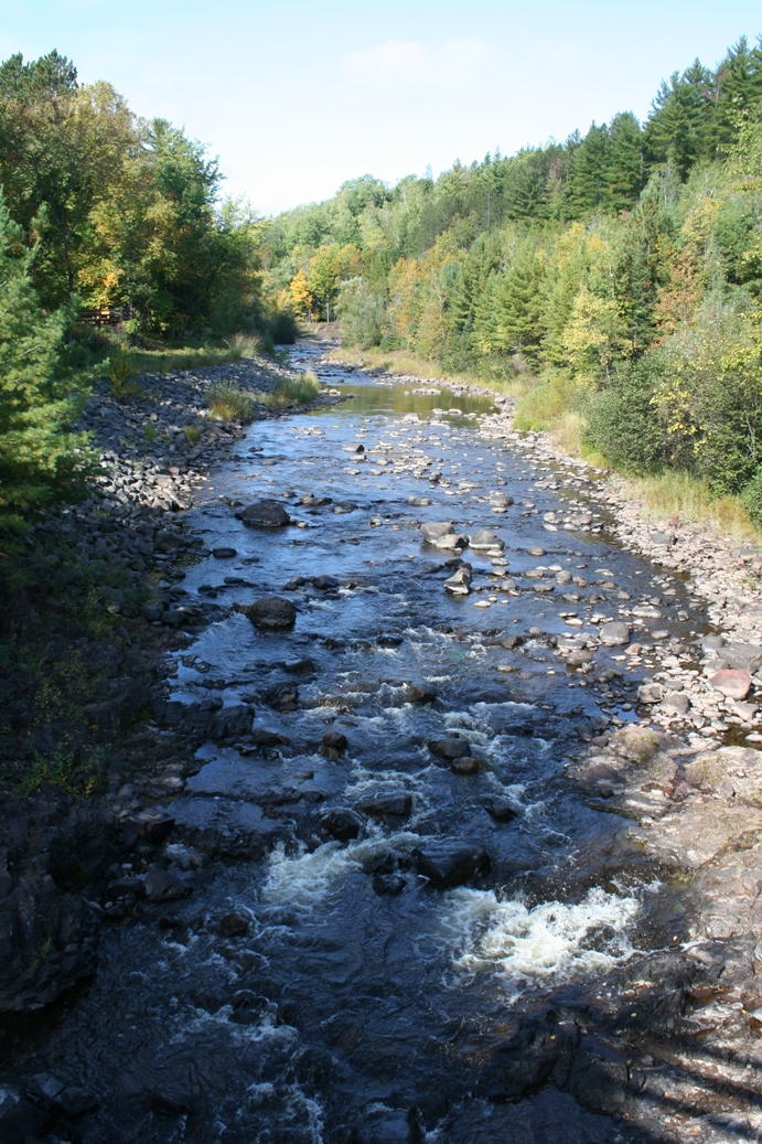
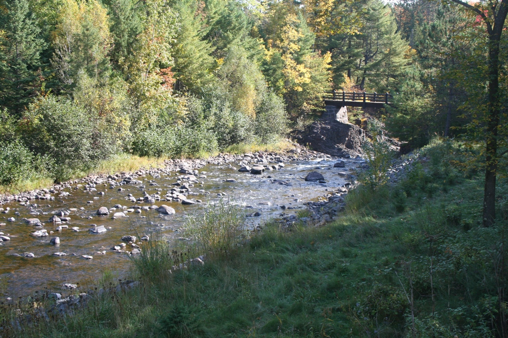
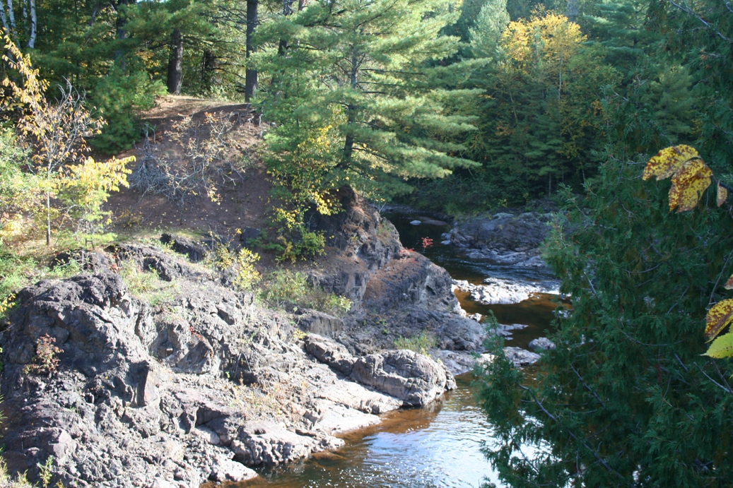
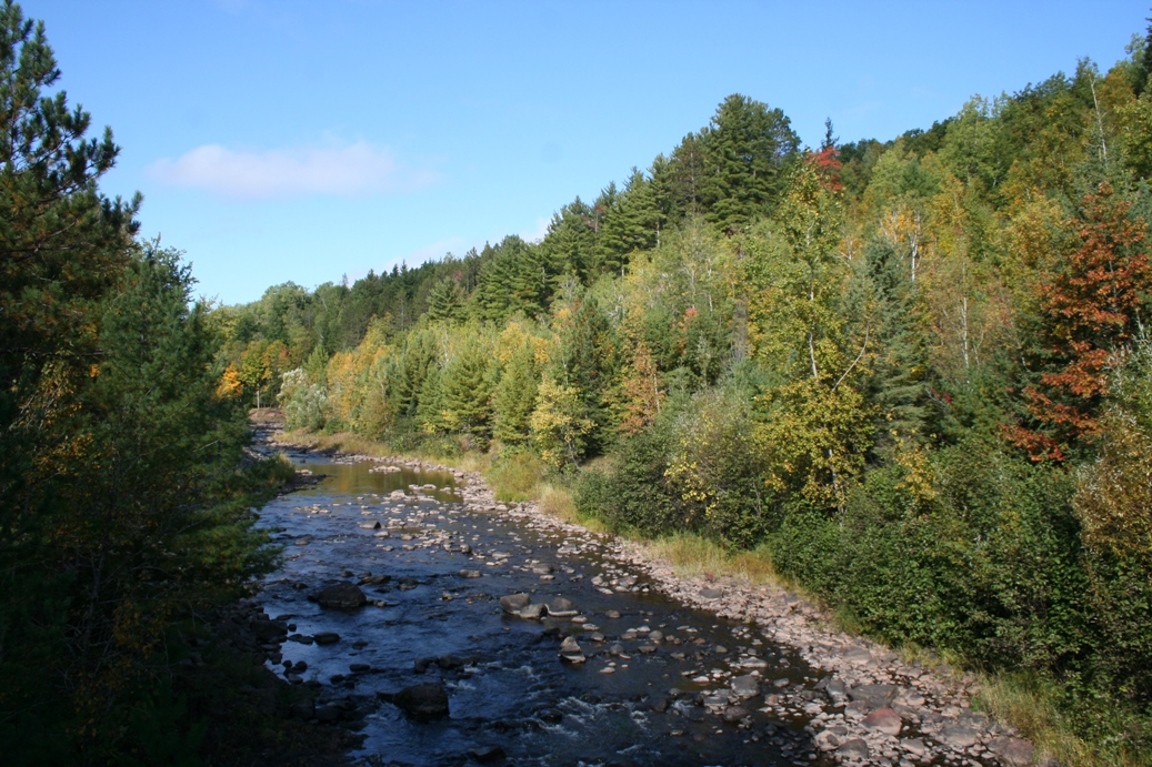
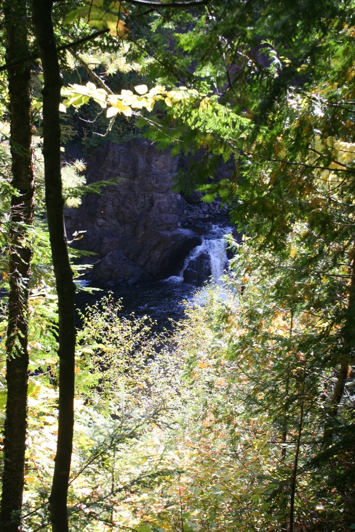
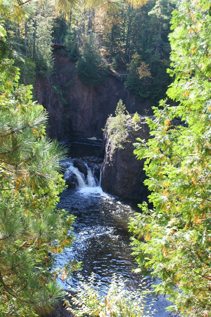
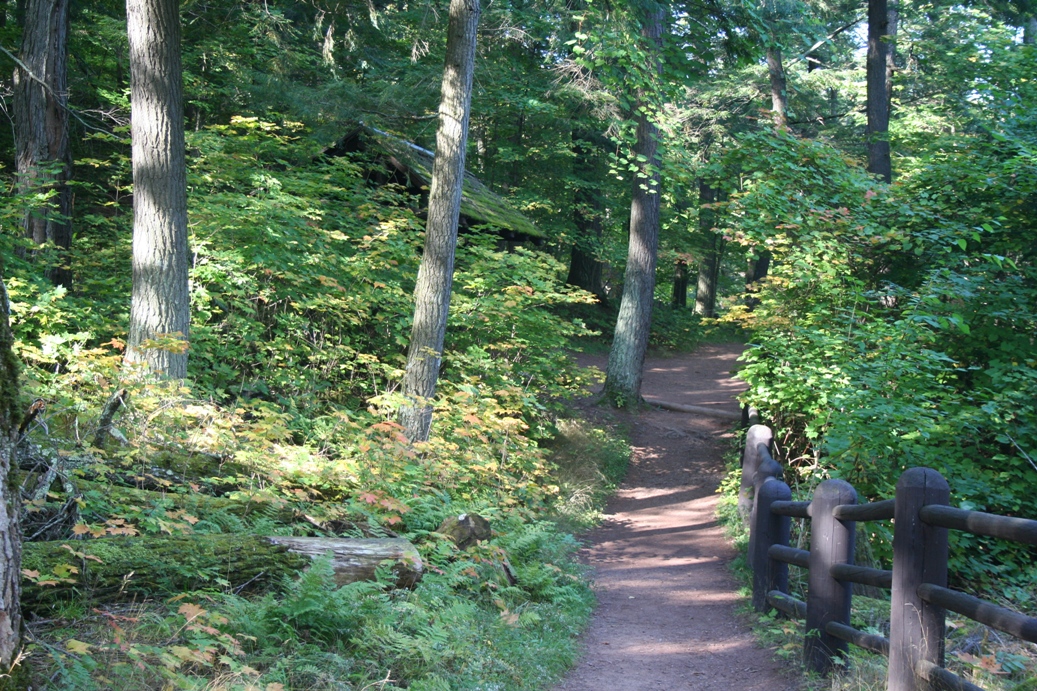
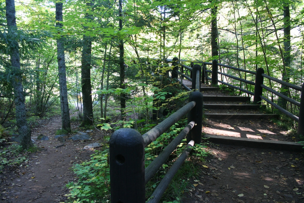
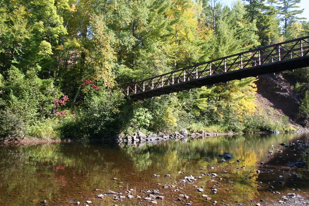
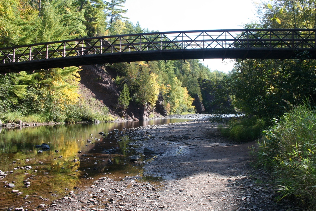
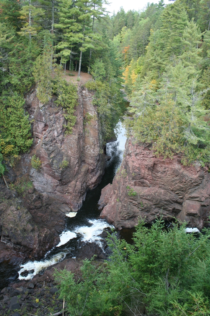
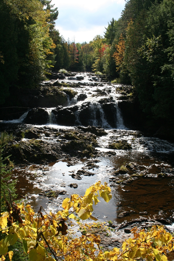
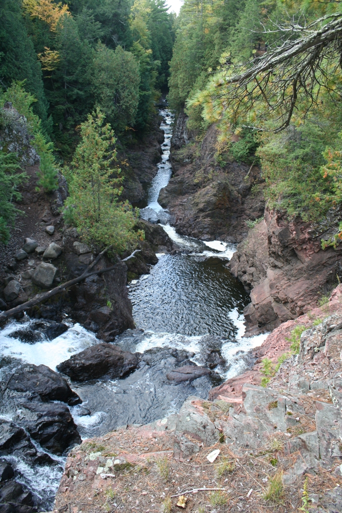
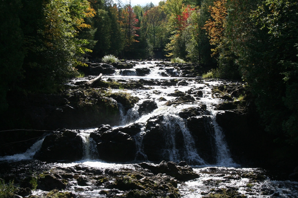
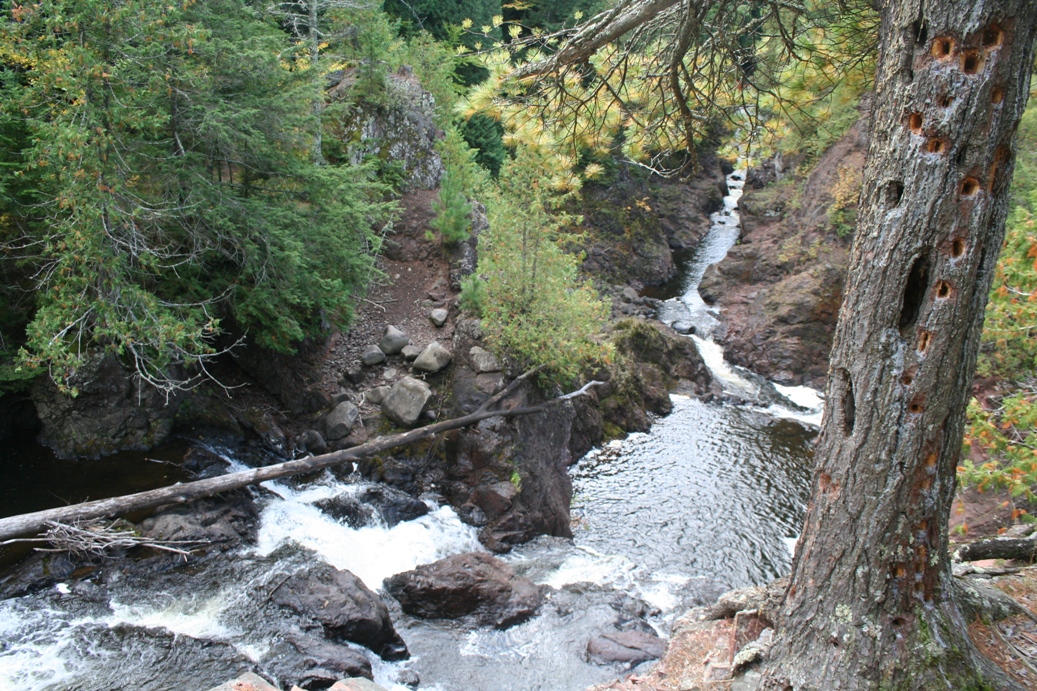
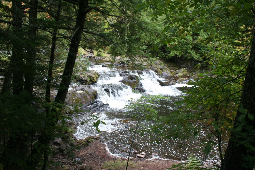
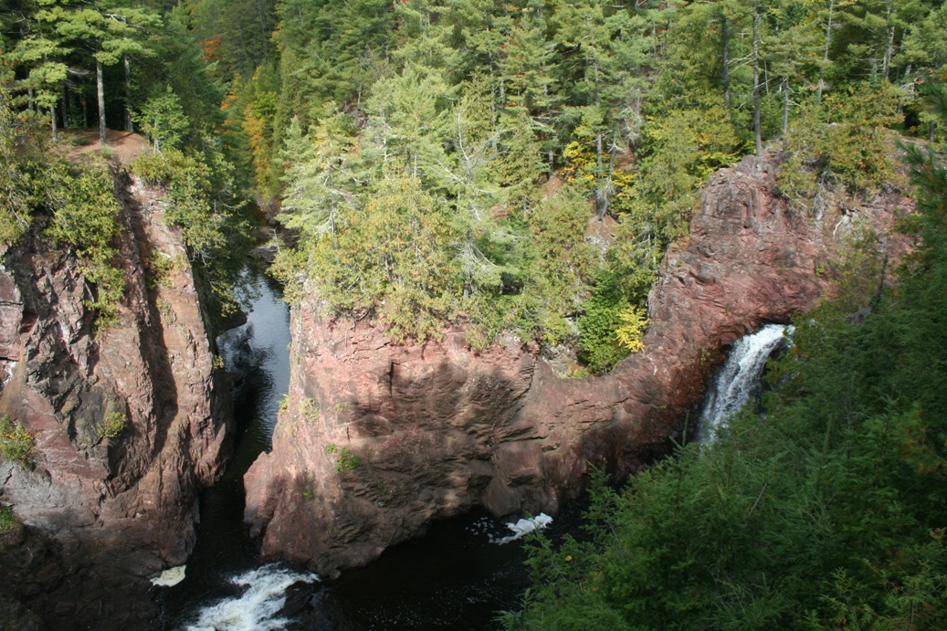
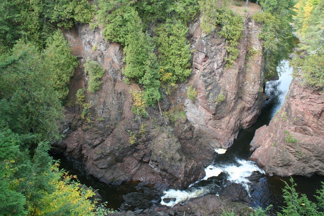
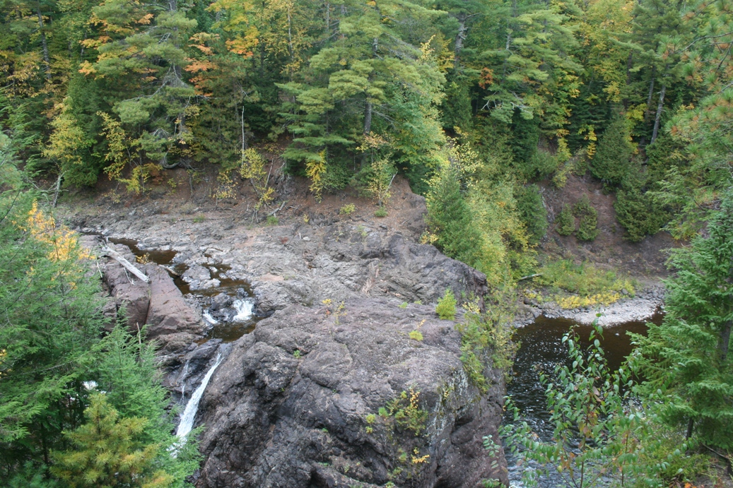
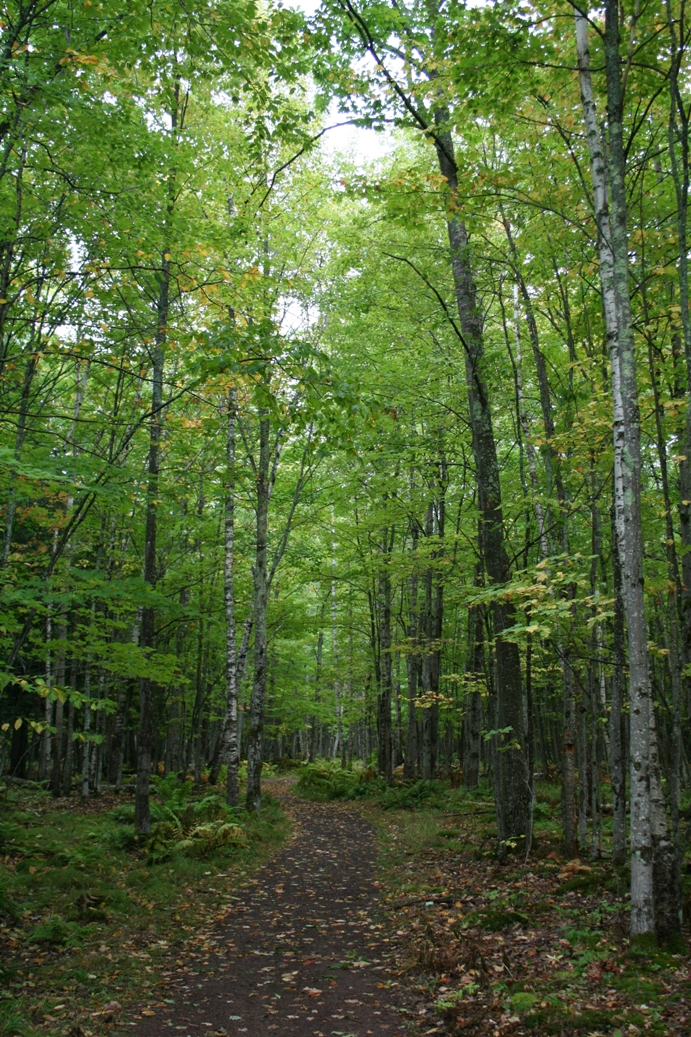
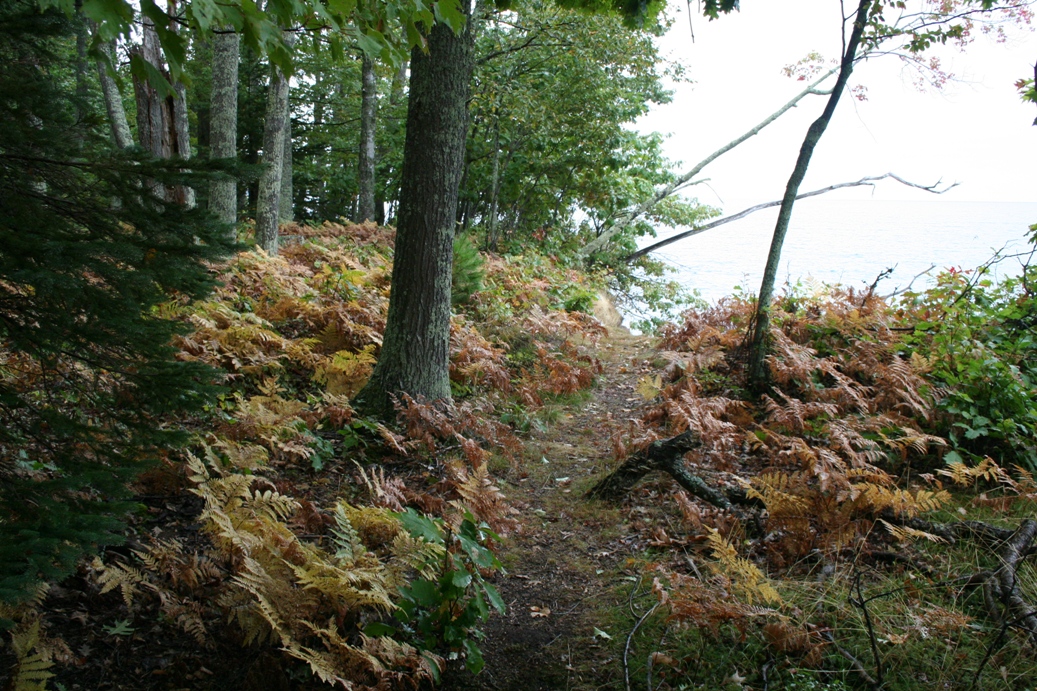
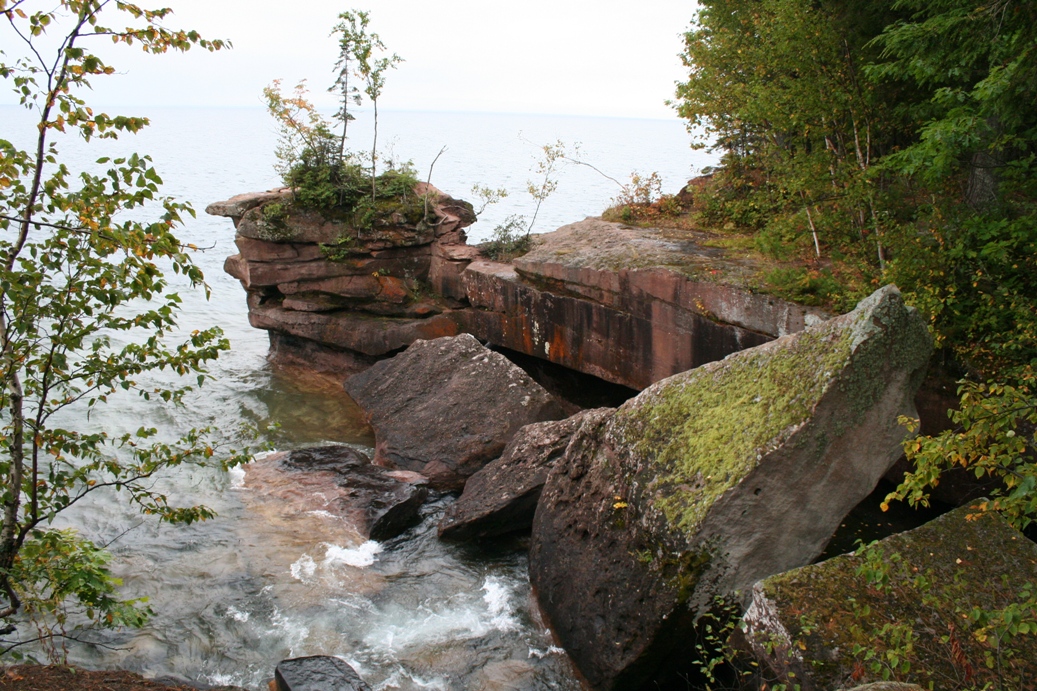
The Dough Boy Trail was built by World War I veterans during the 1930s. It
is a 1.7 mile trail that follows the Bad River and takes you by The Devil's
Gate, Brownstone Falls, the Cascades, and Copper Falls. It is a nice loop
that crosses the river three in different places and has only a couple areas
where there are some steep steps to climb.
|
(Click on Images for Larger Picture)
|
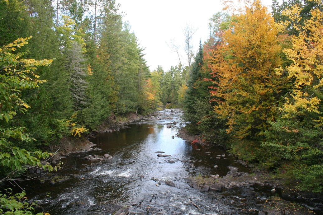
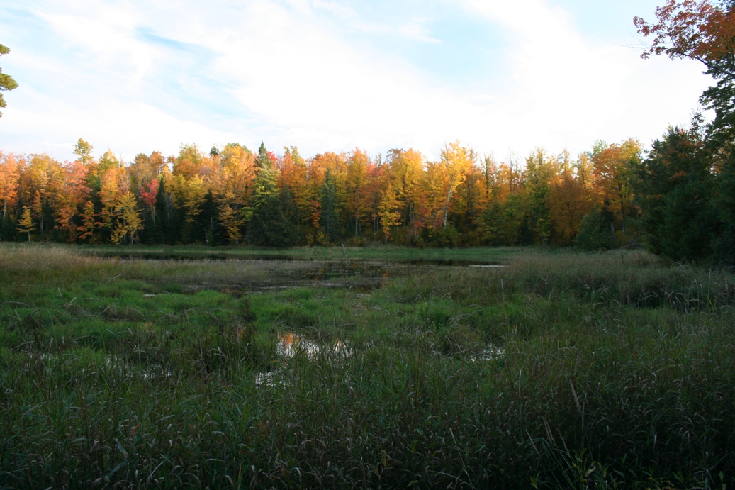
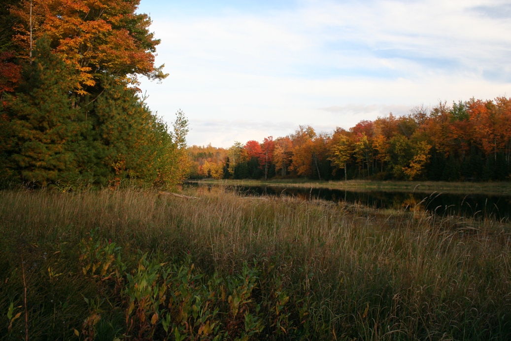
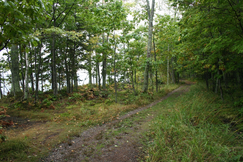
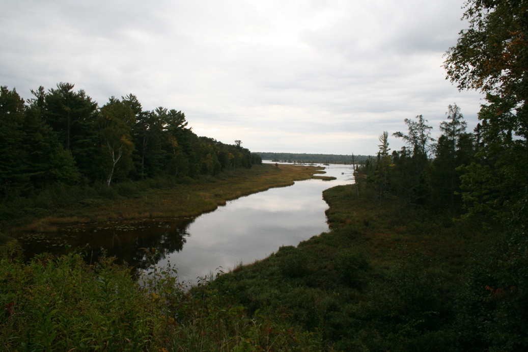
One of the trails in the park that we found, passes by a small lake. It
was a a bit difficult to locate and there were no paths from the trail to the
lake, but it was worth the adventure it took to find it.
|
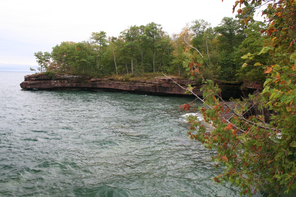
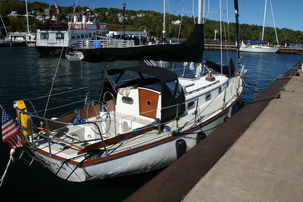
South Shore Lake Superior 2011
(Click on Images for Larger Picture)
|
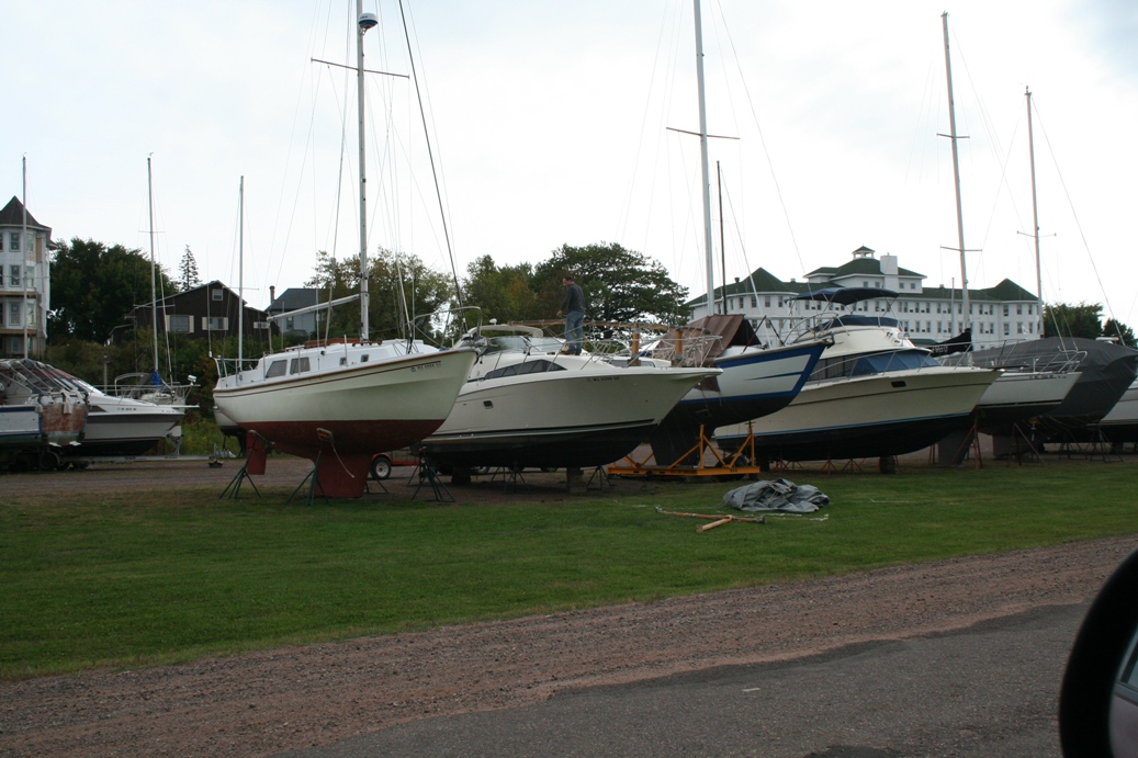
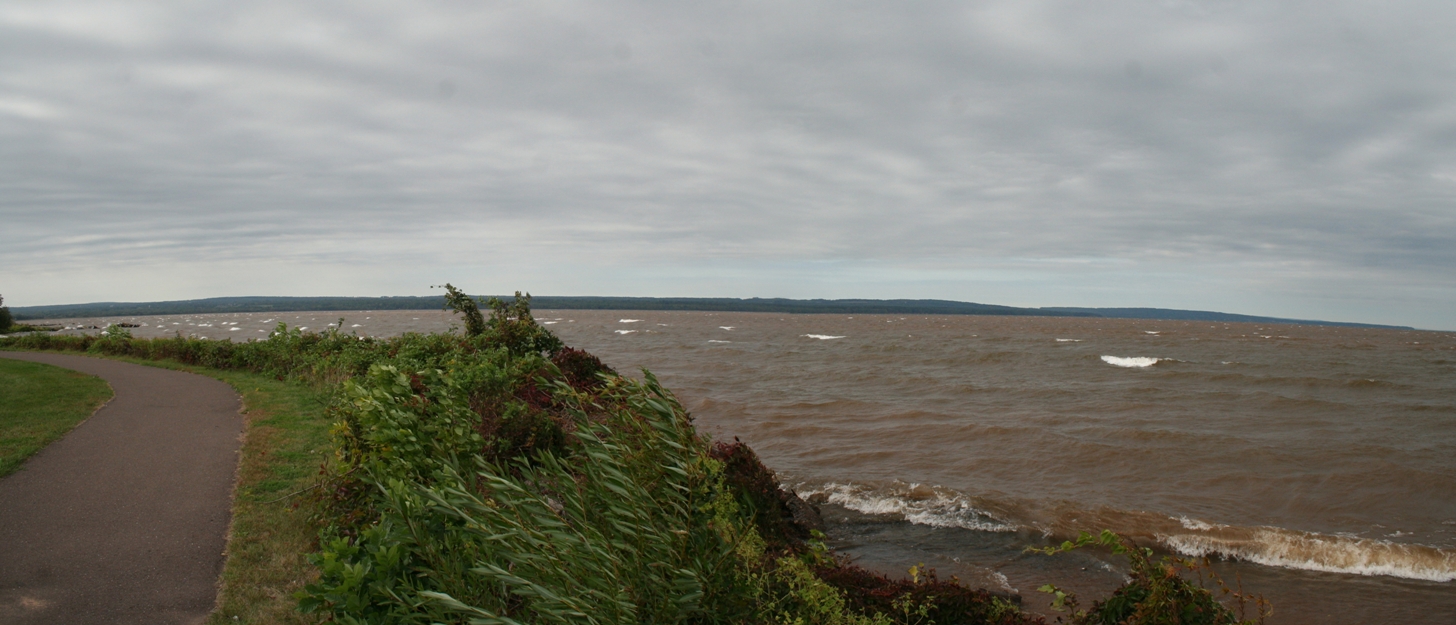
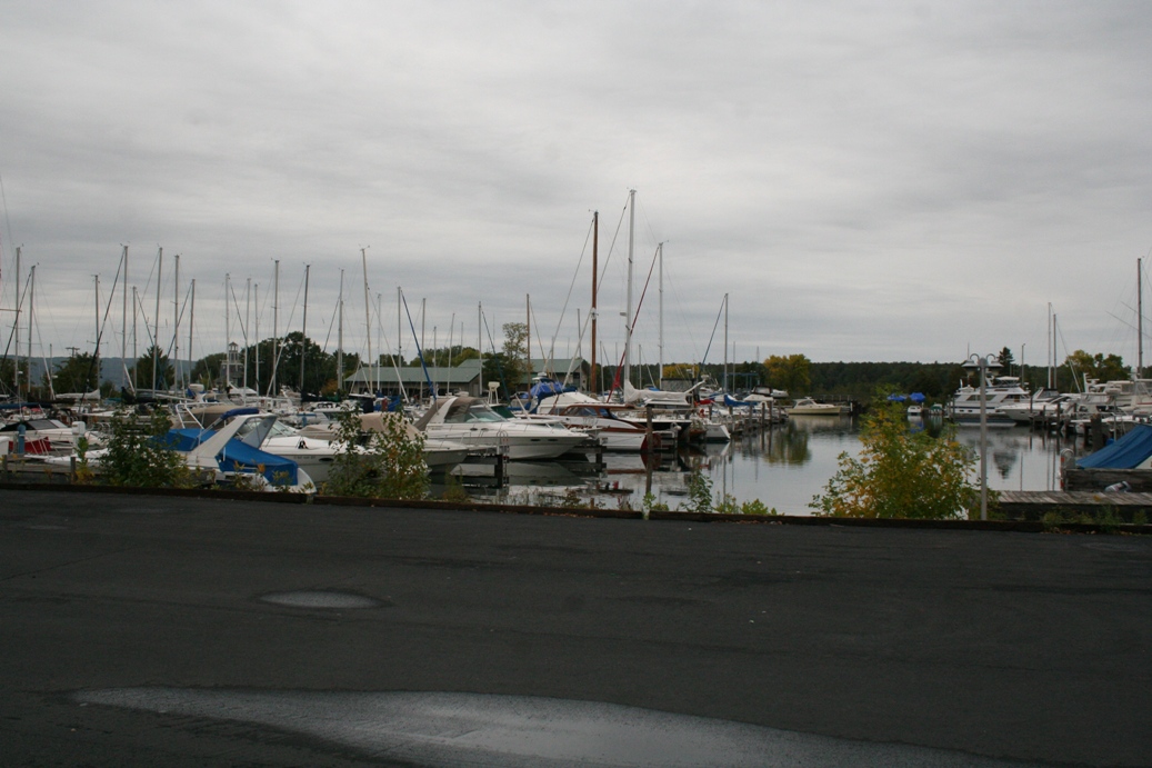
The above series of pictures were taken along the shore of Ashland, Wisconsin.
I have found, over the past few years, that I am drawn to the goings on around
marinas. I think it is interesting to see the larger boats up close, and I
am always amazed at how people store them on land. I know it works, but I
would have a difficult time trusting the way the sailboat in the second picture
is stored and held upright.
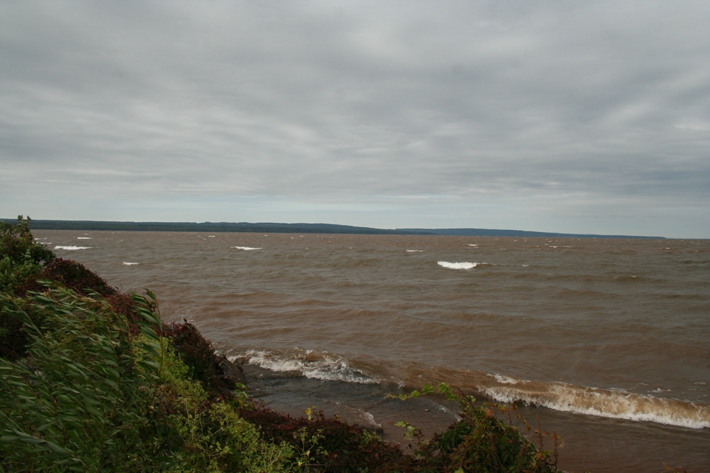
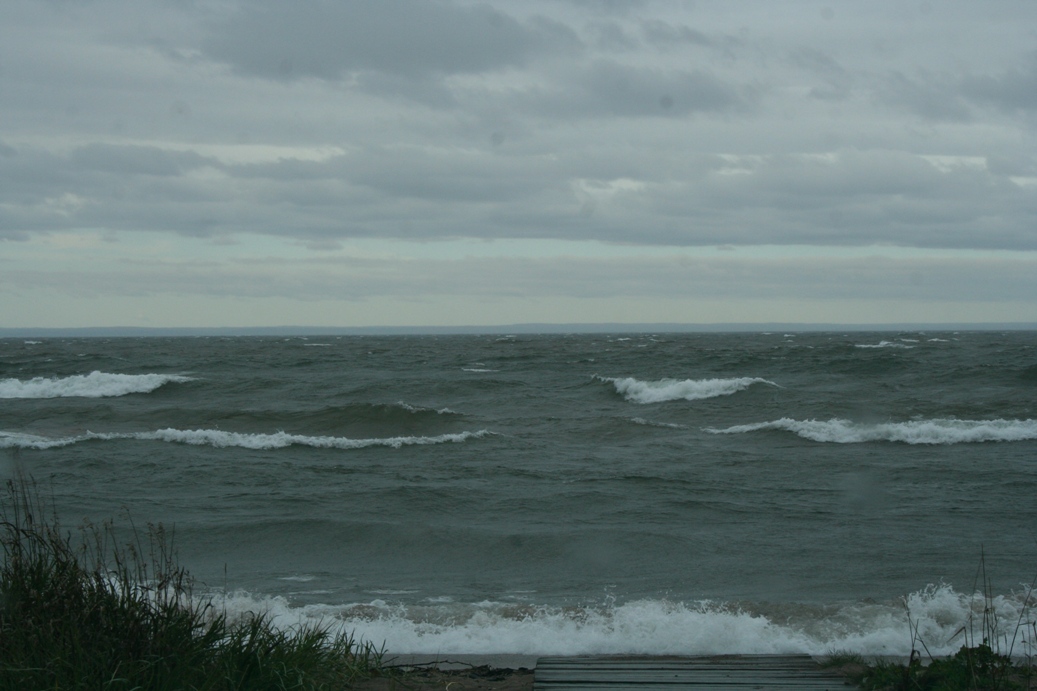
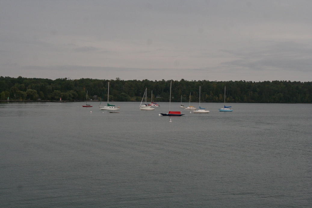
One of the things I really enjoy about coming to Lake Superior, is to see the life
of the lake. One moment, it can be as calm as a pond back home, the next,
it can be a churning, boiling body of water just as fierce as the ocean.
The geese in the last picture can attest to that one.
|
(Click on Images for Larger Picture)
|
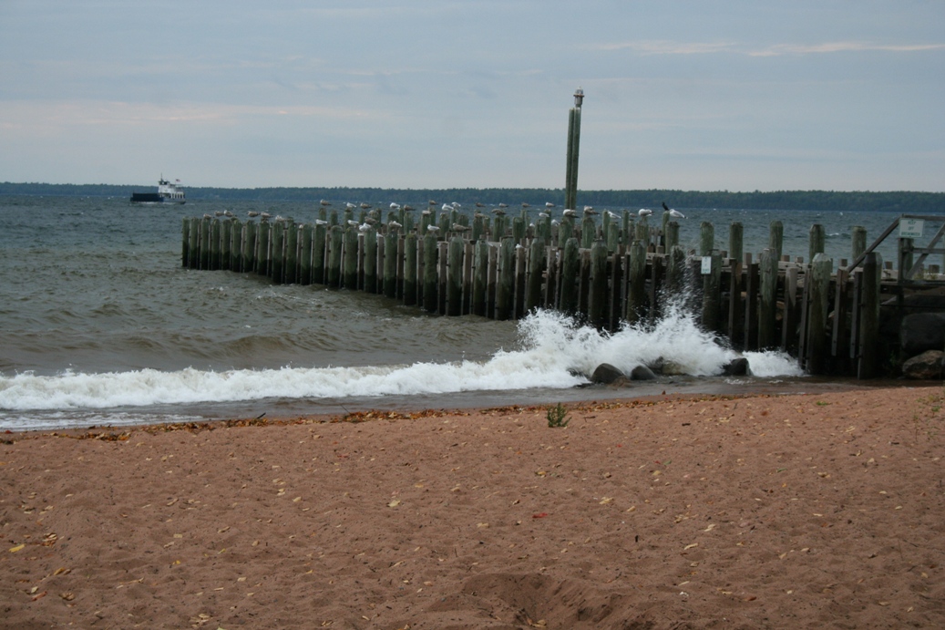
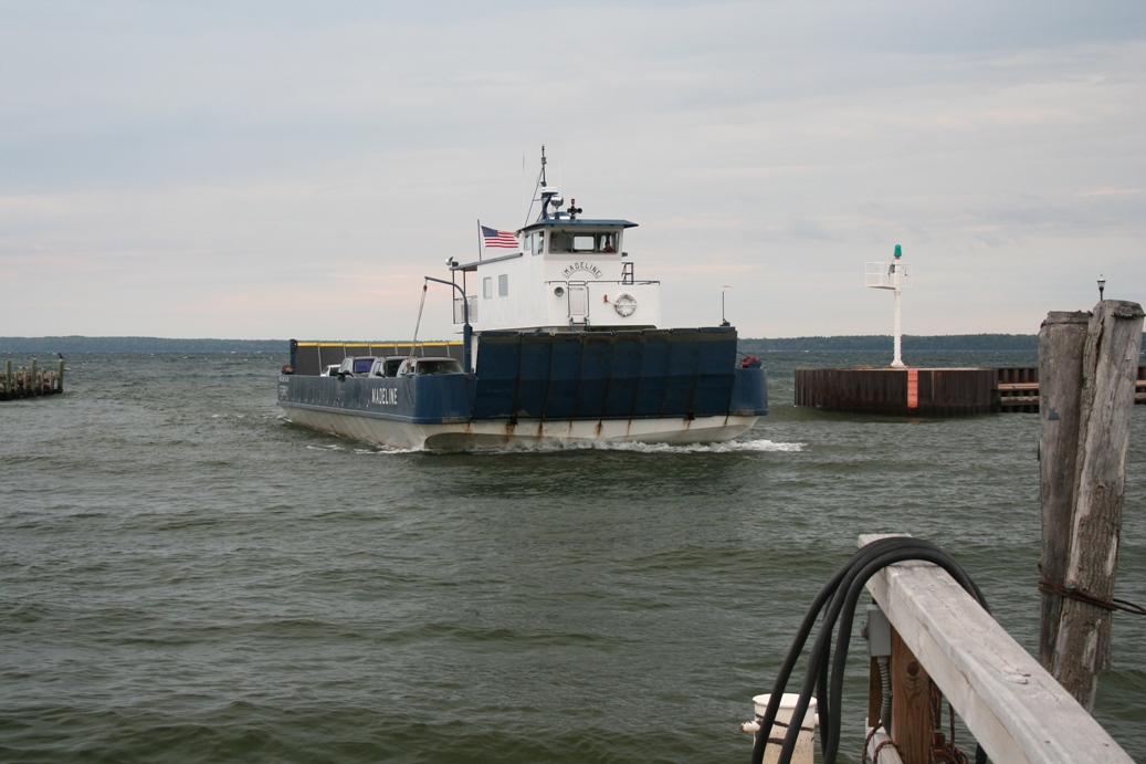
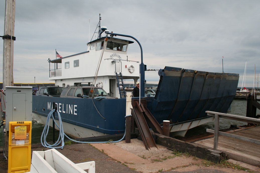
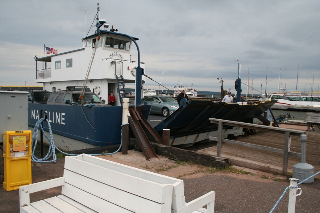
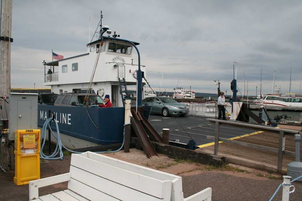
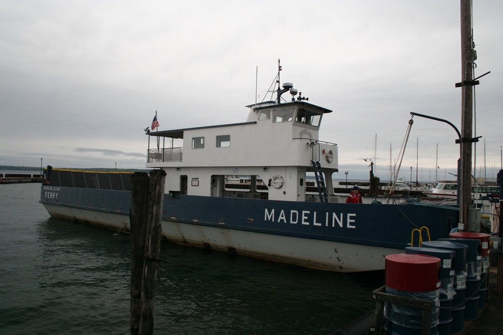
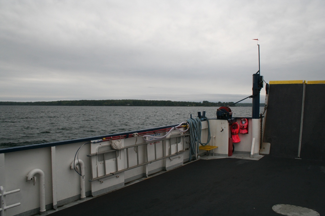
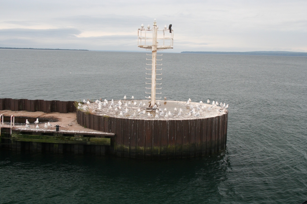
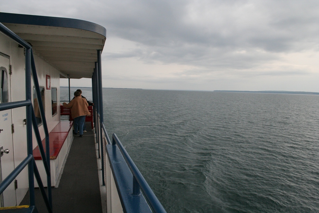
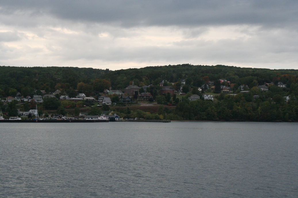
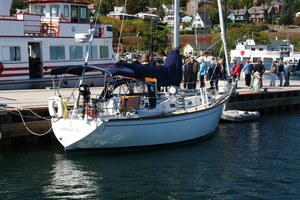
This series of photos is from the ferry landing in Bayfield, Wisconsin.
This ferry will take you across the bay to Madeline, Island. It is the
only way to get to and from the island in warm weather. Once the lake
freezes enough, an ice road is built between the island and the mainland for
people to use. It is estimated that in the off season, 220 people call the
island home. During the busy part of the year, the population swells to 2,500 people.
|
(Click on Images for Larger Picture)
|
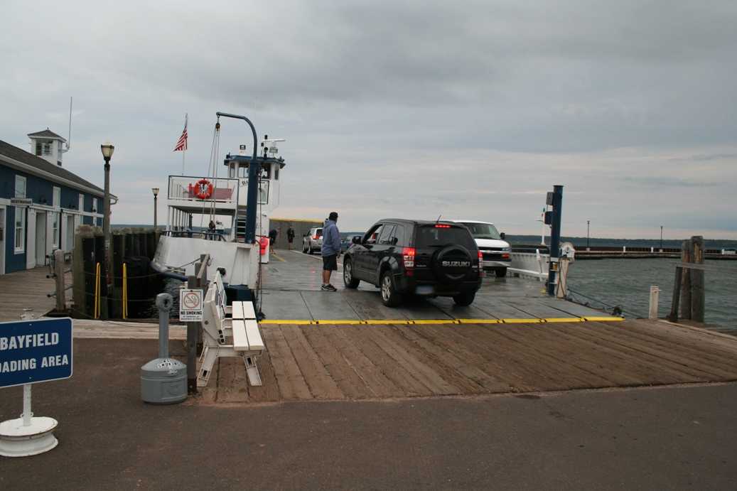
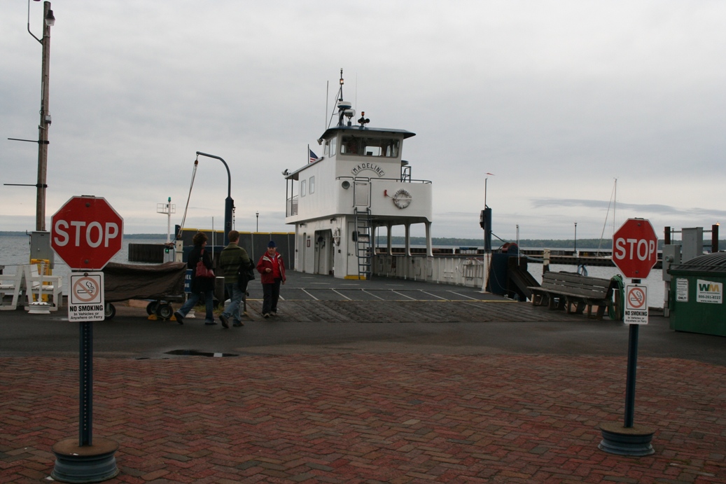
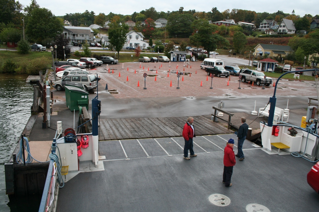
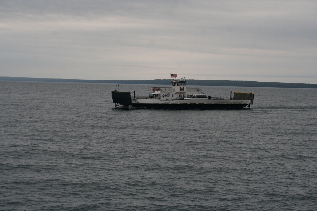
The series of photos above shows you how efficient the ferry system can be.
It was only a matter of minutes from when the ferry turned the corner at the
breakwater, to when it was in place with the ramp down, and people were driving
off of the boat.
|
(Click on Images for Larger Picture)
|
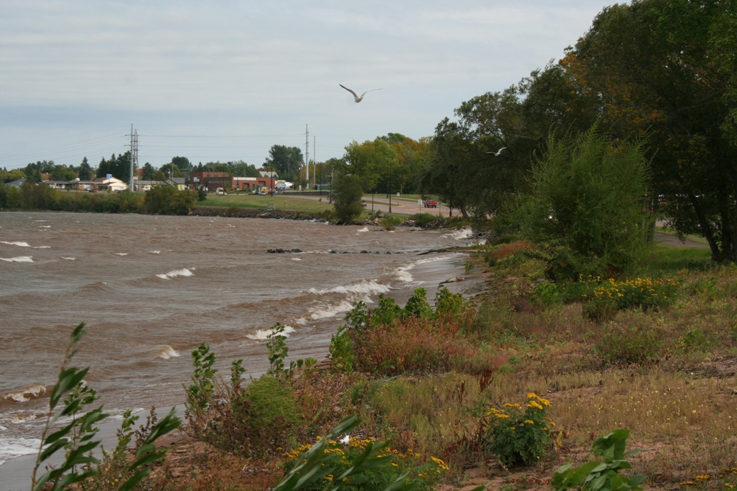
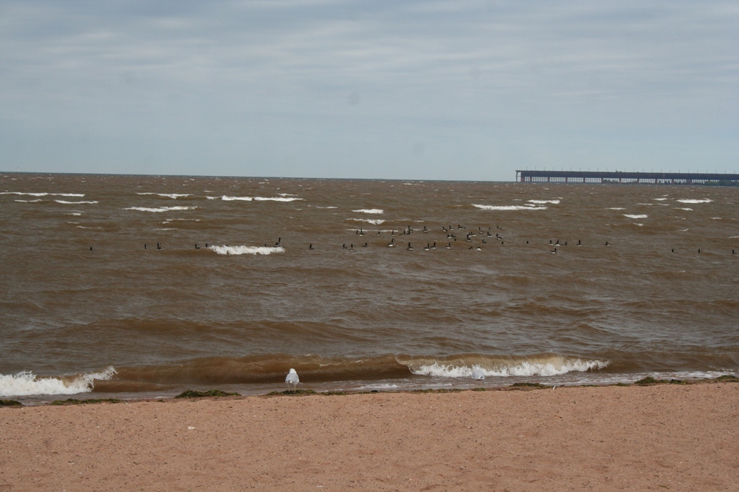
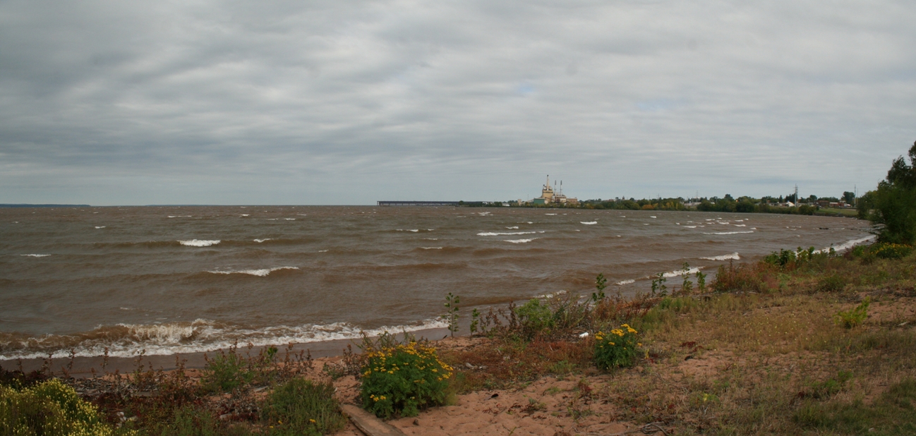
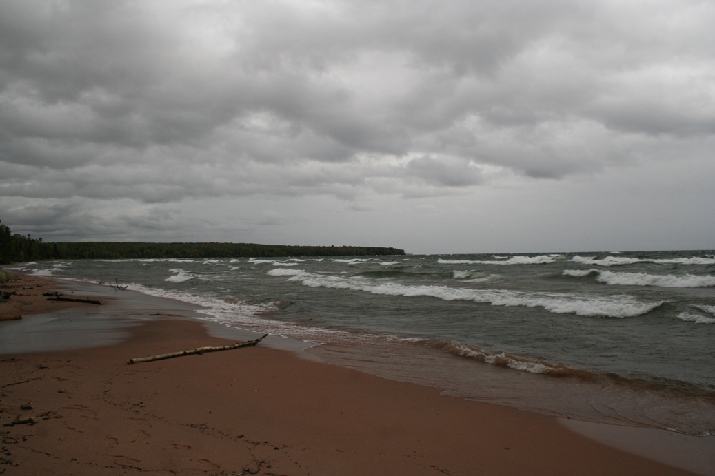
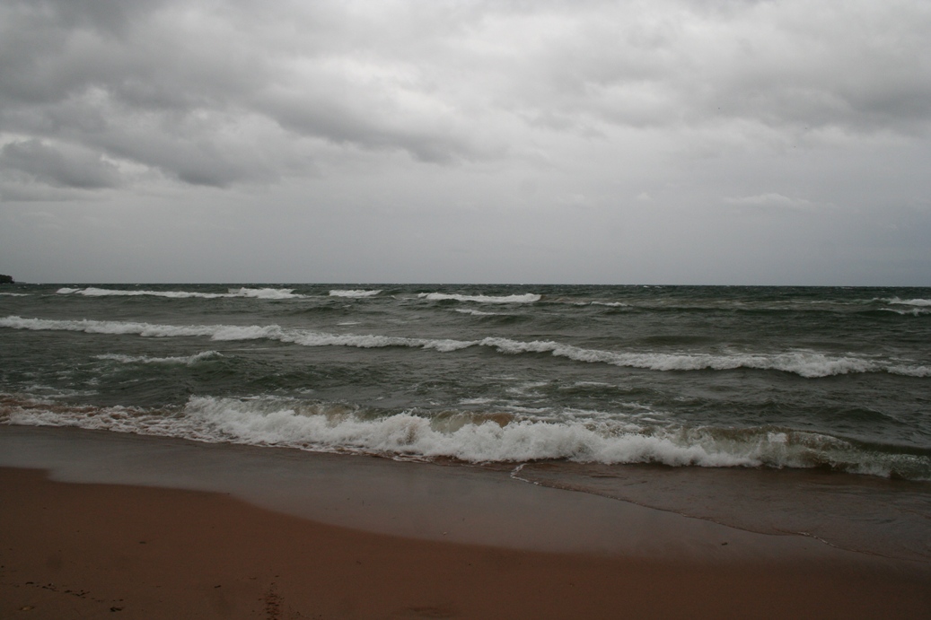
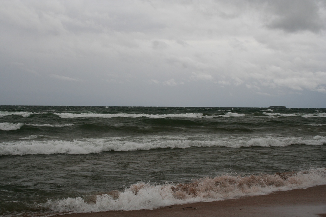
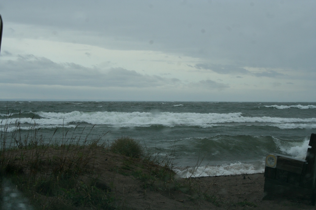
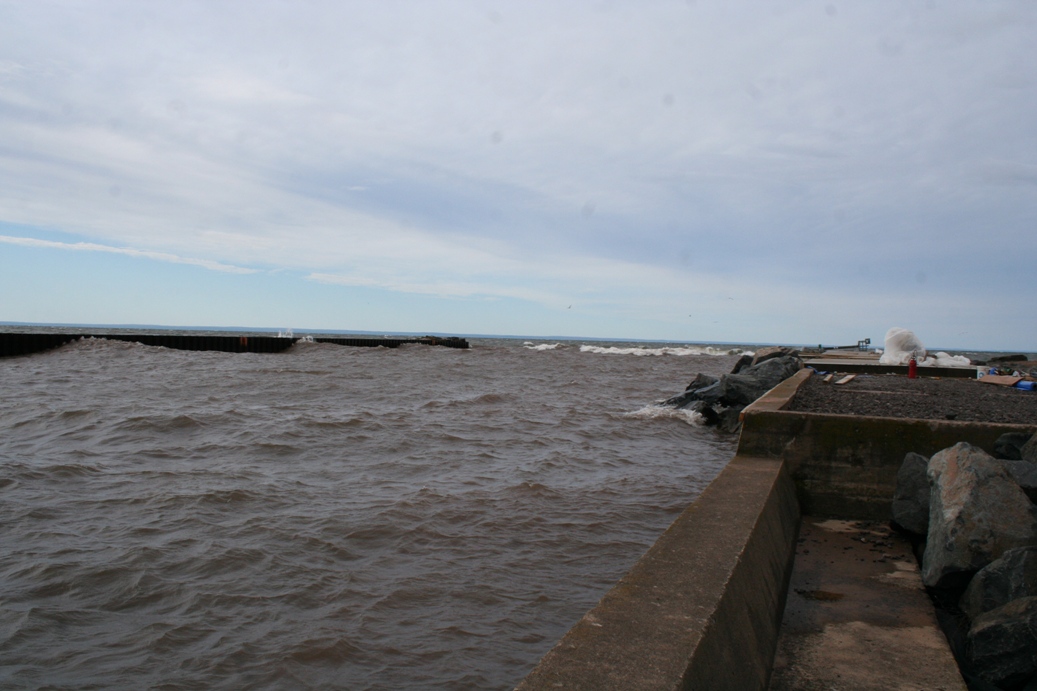
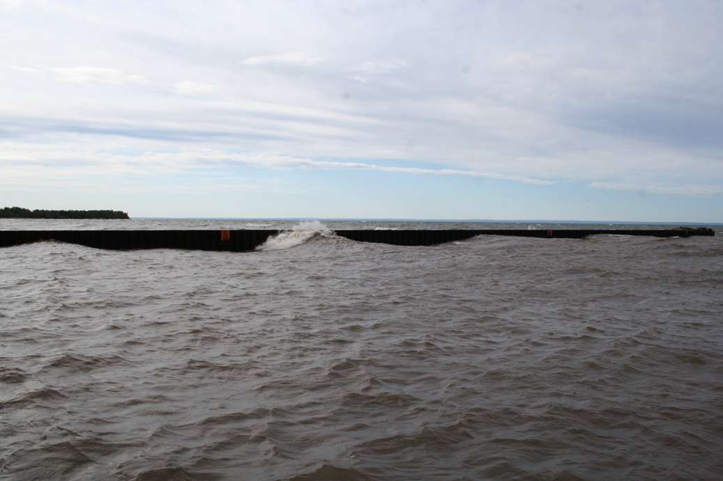
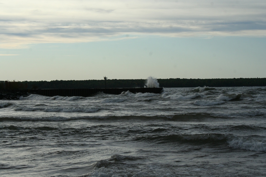
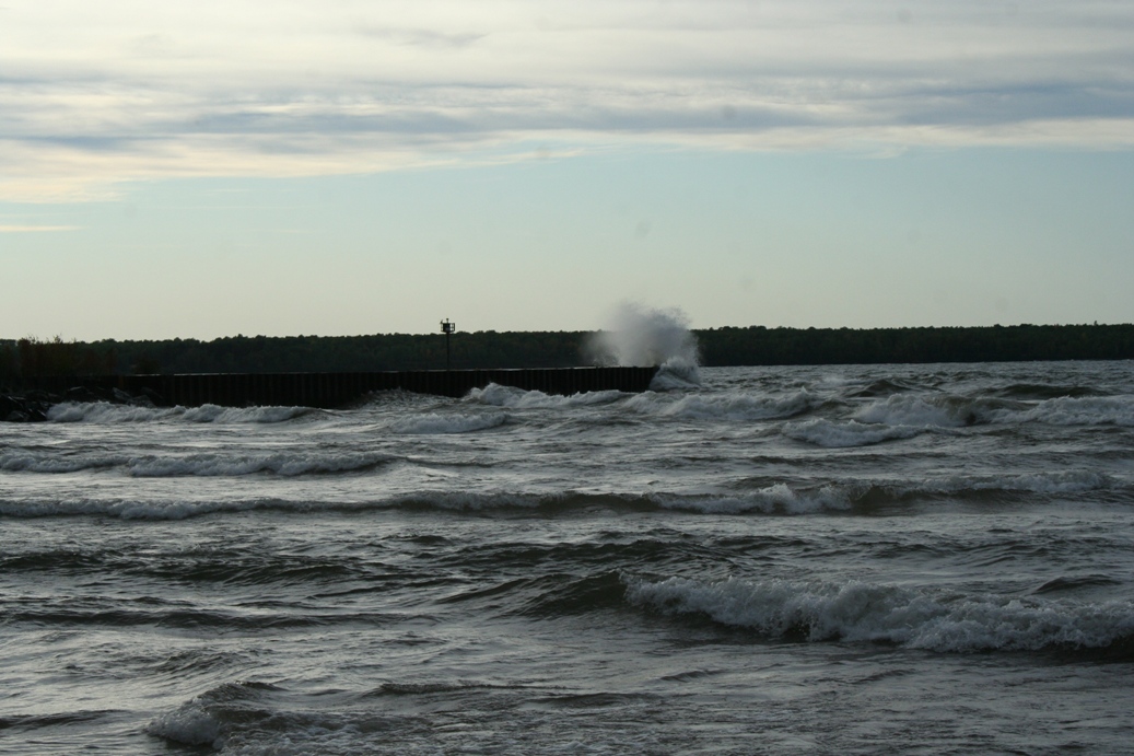
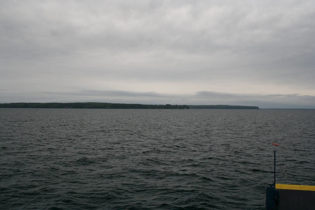
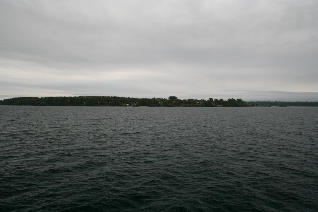
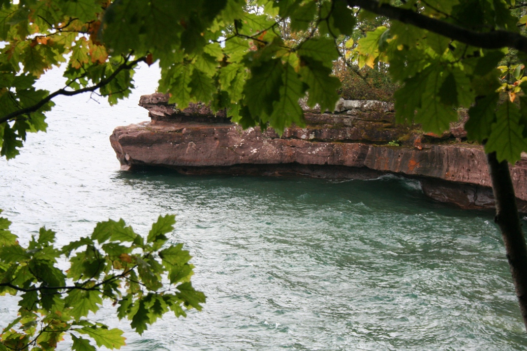
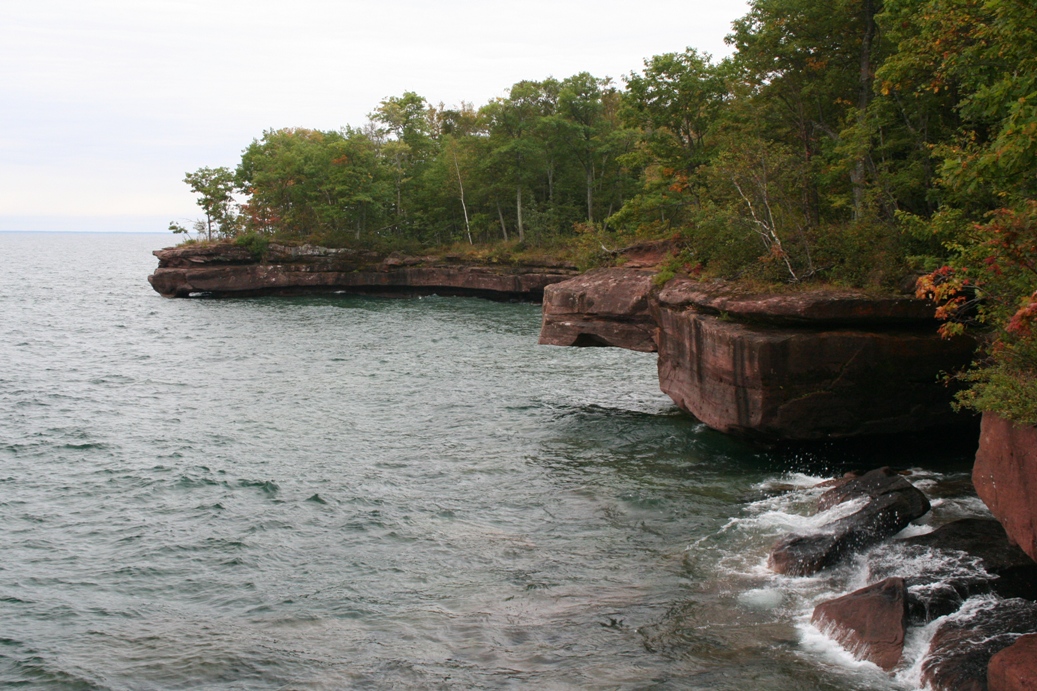
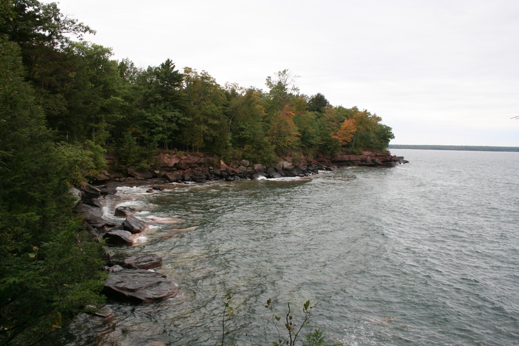
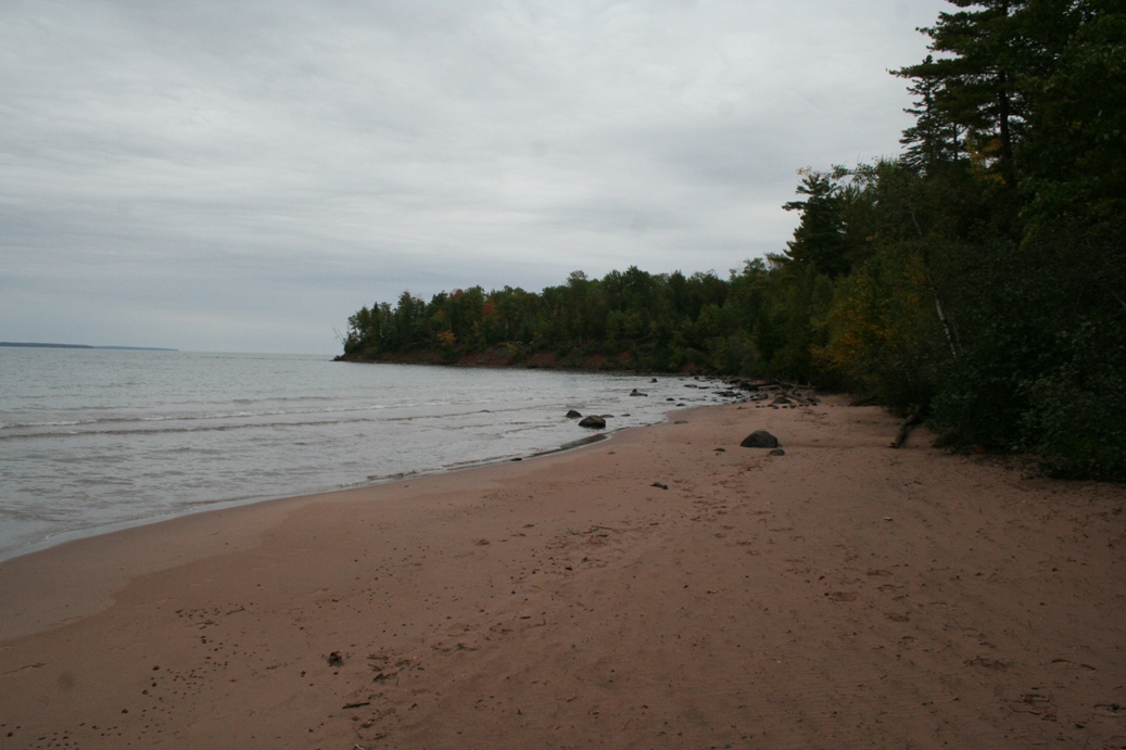
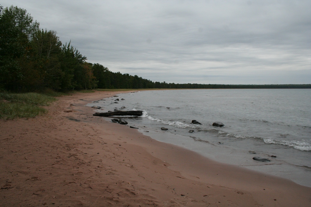
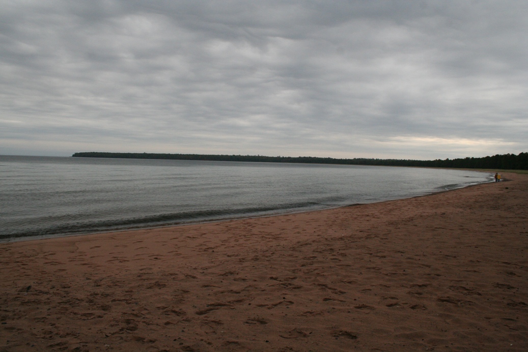
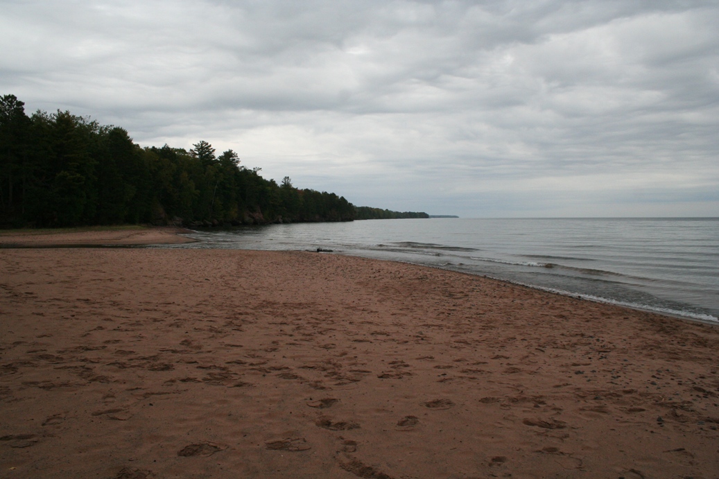
The series of photos above is from our second drive along the south shore of
Lake Superior. This time we drove a little further west with a few stops
along the way to check out the wave action. Believe it or not, the storm
had passed early, but with the winds and the currents, the lake was still being
stirred up quite a bit.
|
(Click on Images for Larger Picture)
|
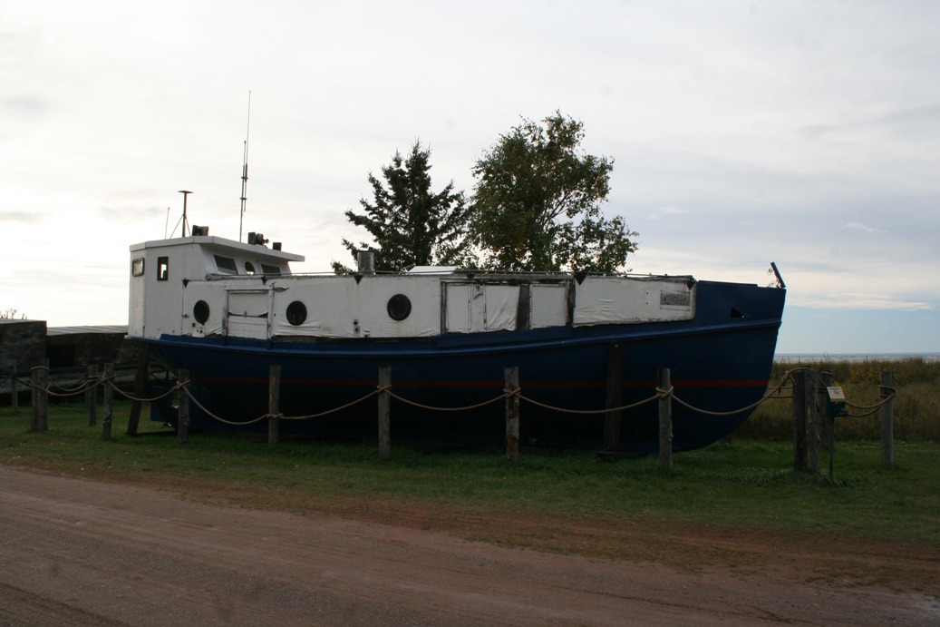
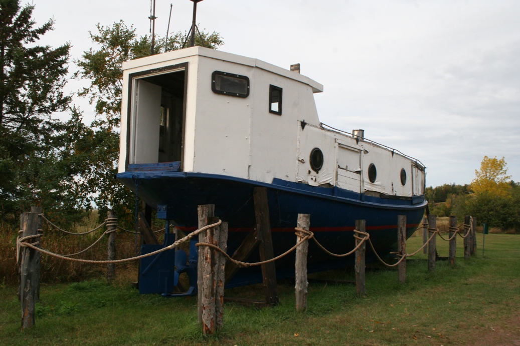
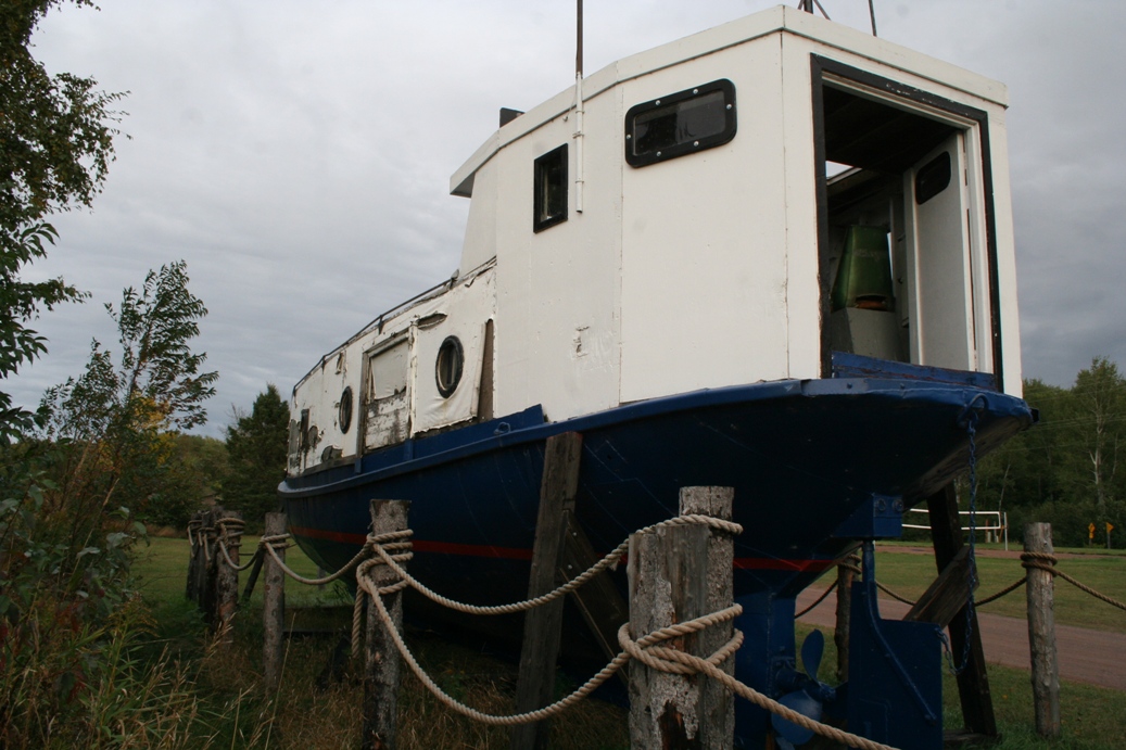
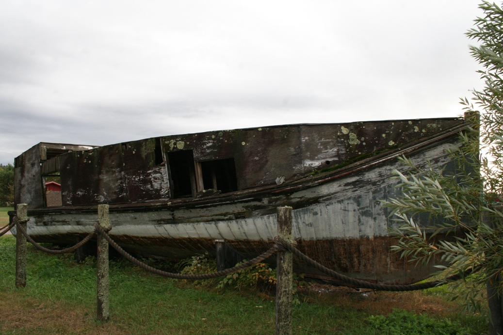
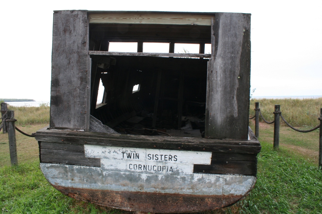
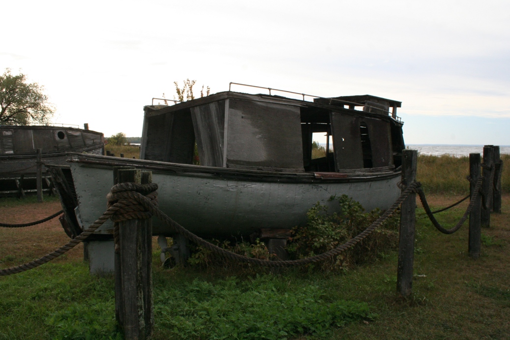
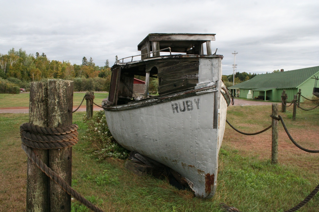
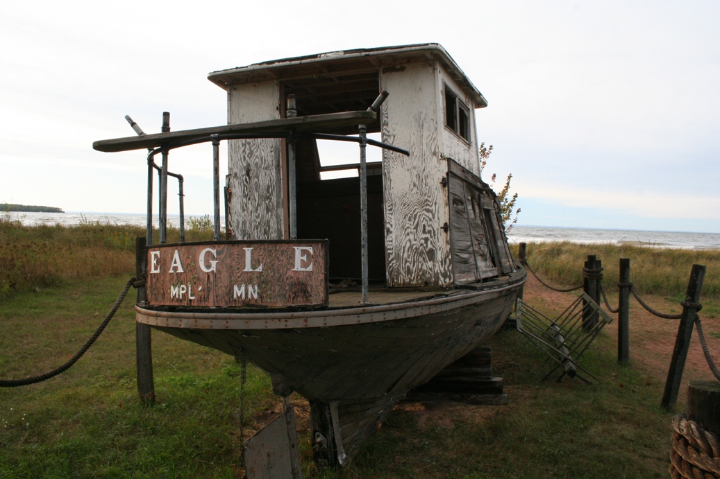
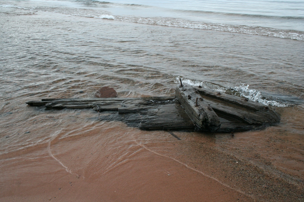
The photo series above goes to show that you just never know what you may find.
These lake boats were on display at one of our stops and I found them to be
quite intriguing. There was nothing nearby that explained why these boats
were on display in the conditions they were in.
|
Madeline Island 2011
(Click on Images for Larger Picture)
|
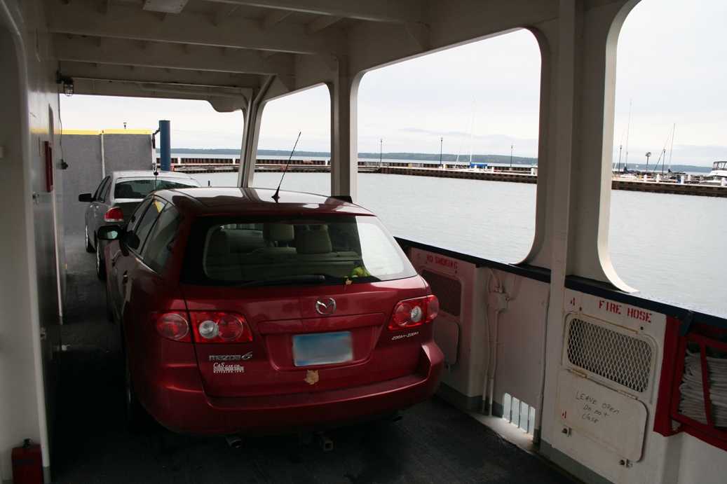
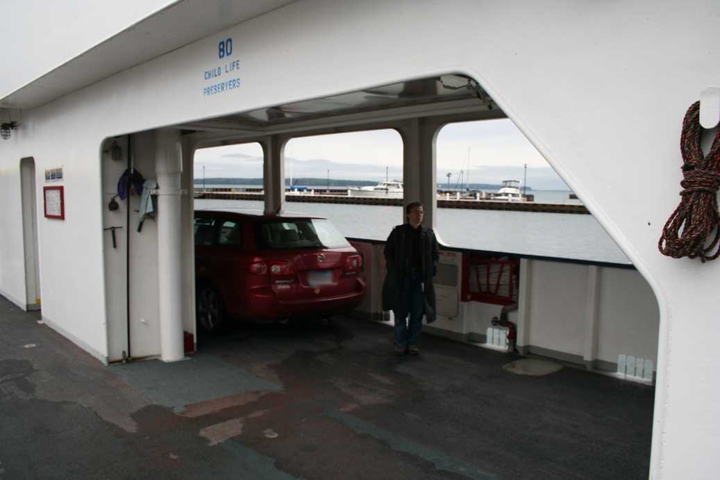
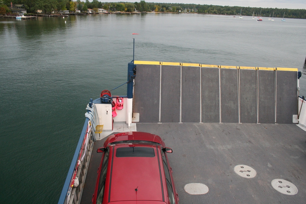
This was loading the ferry heading to Madeline Island. I
would have thought there would have been more traffic, but as
you can see the ferry was barely half loaded. That still
didn't stop them from packing the cars tight, as they should.
I could barely get out of the car once it was parked.
|
(Click on Images for Larger Picture)
|
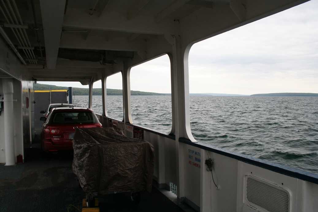
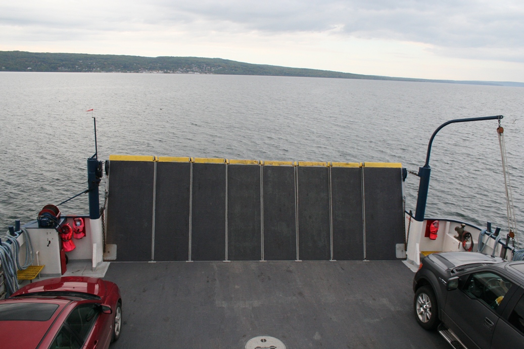
The 2.5 mile trip across the bay from Bayfield to La Pointe takes about 20
minutes, but I found it to be an enjoyable trip. The waters were calm, the
breeze was a bit chilly, but I've always enjoyed being on the water.
Especially something as large as a ferry.
|
(Click on Images for Larger Picture)
|
There is a good sized modern state park on the island called Big Bay State Park.
Besides being on an island, there didn't seem to be much difference between this
park and other state parks we visited; which is a good thing. I wasn't
sure what types of amenities would be available being in a fairly isolated
location, but it has all the comforts of home that a modern camper would enjoy.
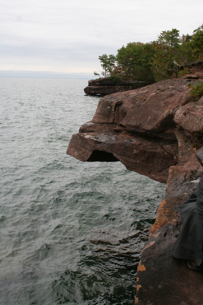
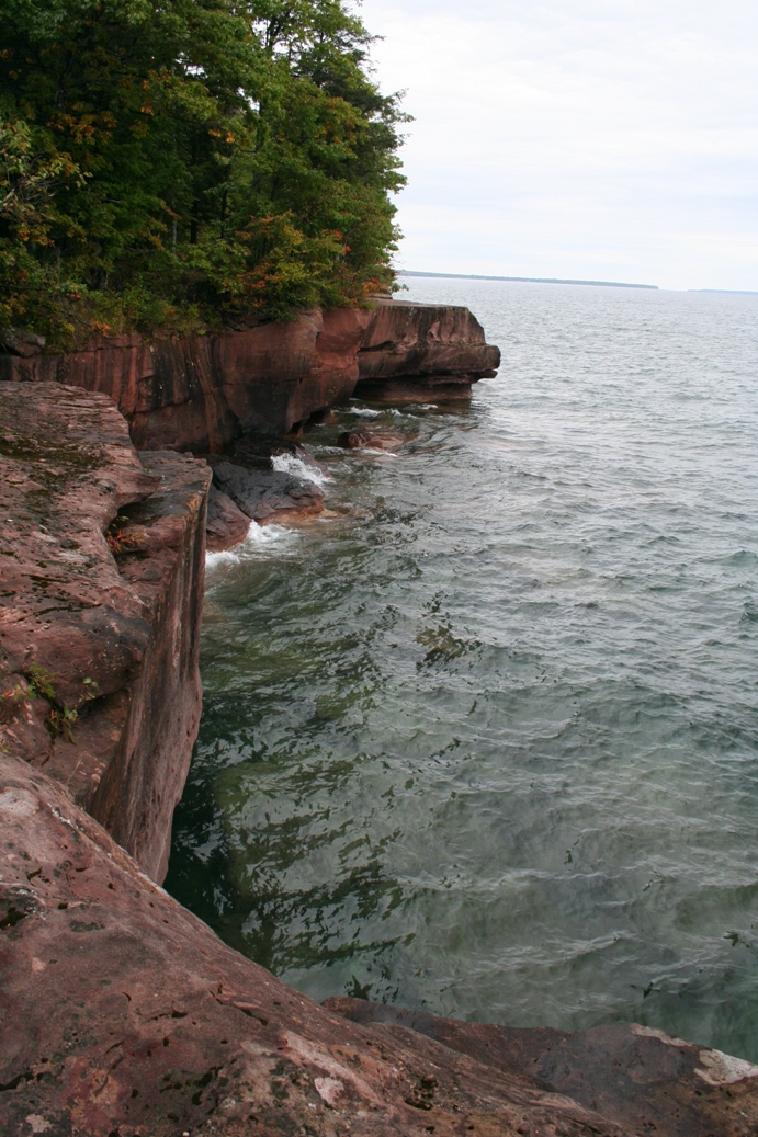
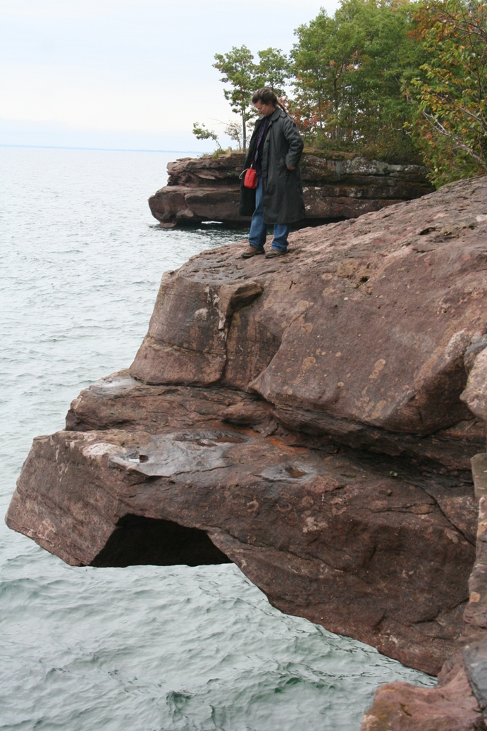
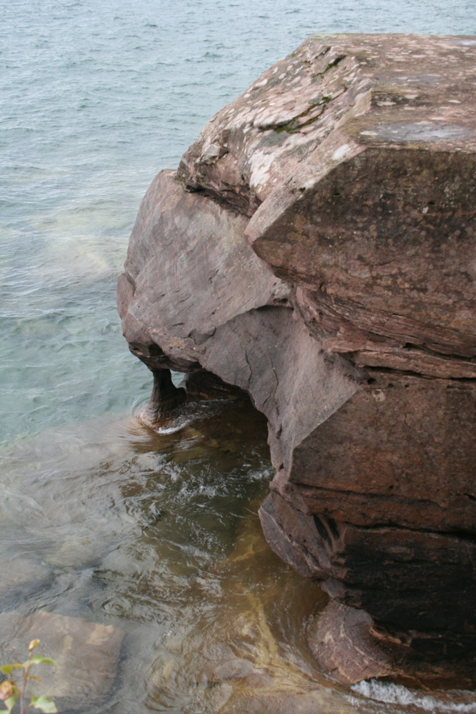
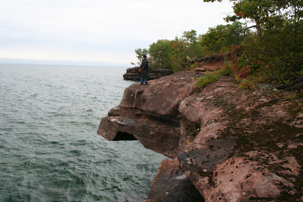
All of the pictures in the series above are from a hike we took along the Bay
View Trail. We spent about an hour or so exploring the trail, but there is
far more to the trail than we had time to explore. You can see from the
pictures there are some really interesting spots to get off of the trail and
explore the rock outcroppings along the shore. A nice advantage we
had by coming late in the season was that we got to enjoy the change of seasons
without having to fight large crowds.
|
(Click on Images for Larger Picture)
|
|
|
We spent a good portion of the afternoon driving around the island. There
is a short 7 mile road on the east side of the island that leads to the Big Bay
State Park, then there is a much longer road, roughly 14 to 16 miles long, on
the west side that takes you nearly to the northern tip of the island.
About or 8 miles north of La Point, there is a location called Town Park.
This is a park run by the town of La Point and it has a nice camping and
picnicking area, as well as a place to rent kayaks, canoes, and
other various manual powered water craft.
There is also a beach called Barrier beach that runs about a mile from Town Park over to Big Bay State
Park. The first two pictures in the second row are of Big Bay State Park
Beach, and the last two are of the Town Park end. If you follow the
shoreline in the second picture of the second row along to the right, that is
where Town Beach is located. In the third picture of the same row, you can
see the point of Big Bay State Park, and if you follow it to the right, it will
lead along the state park beach, back to Town Park Beach. I was tempted to
walk it, but we had time restraints that prevented us from doing so.
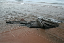
Of course, there are always the little curiosities that one runs into when
exploring new areas. The second to last picture is of some sort of debris.
We looked at it for a bit, but couldn't quite figure out what it was. The
metal bits don't look too terribly old, and I highly doubt it is a part of any
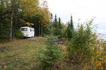
boat, but it is fun to dream. The last picture was of another Scamp that
we found located along the east side of the island. While there are many
people who build nice weekend homes, or permanent homes, many are content with
purchasing a piece of land and setting it up as a private campsite.
|
(Click on Images for Larger Picture)
|
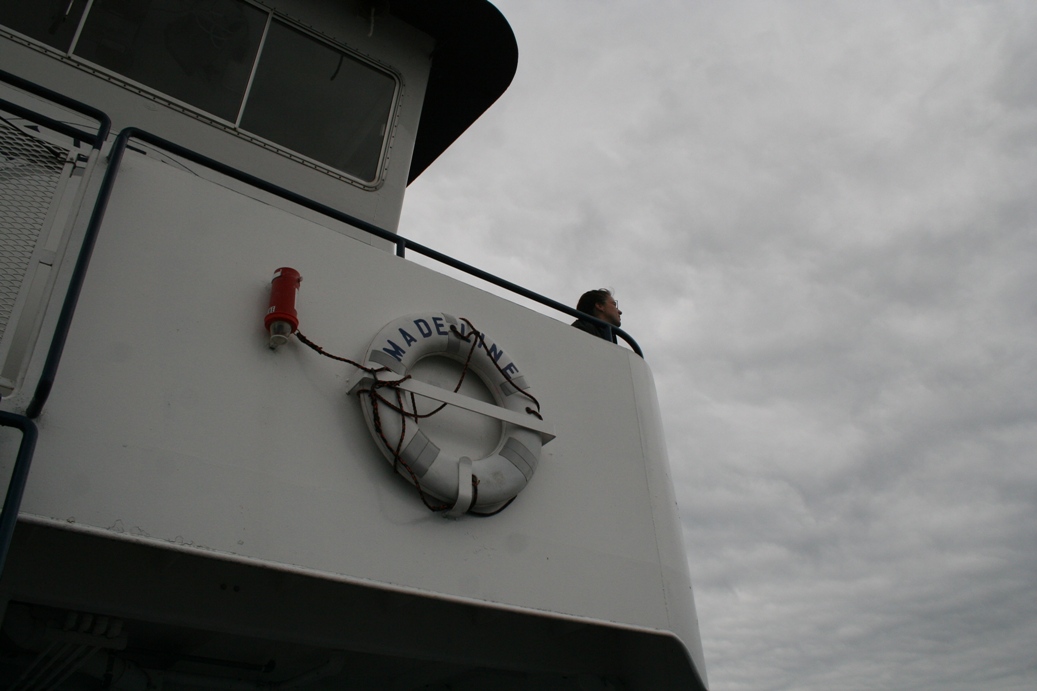
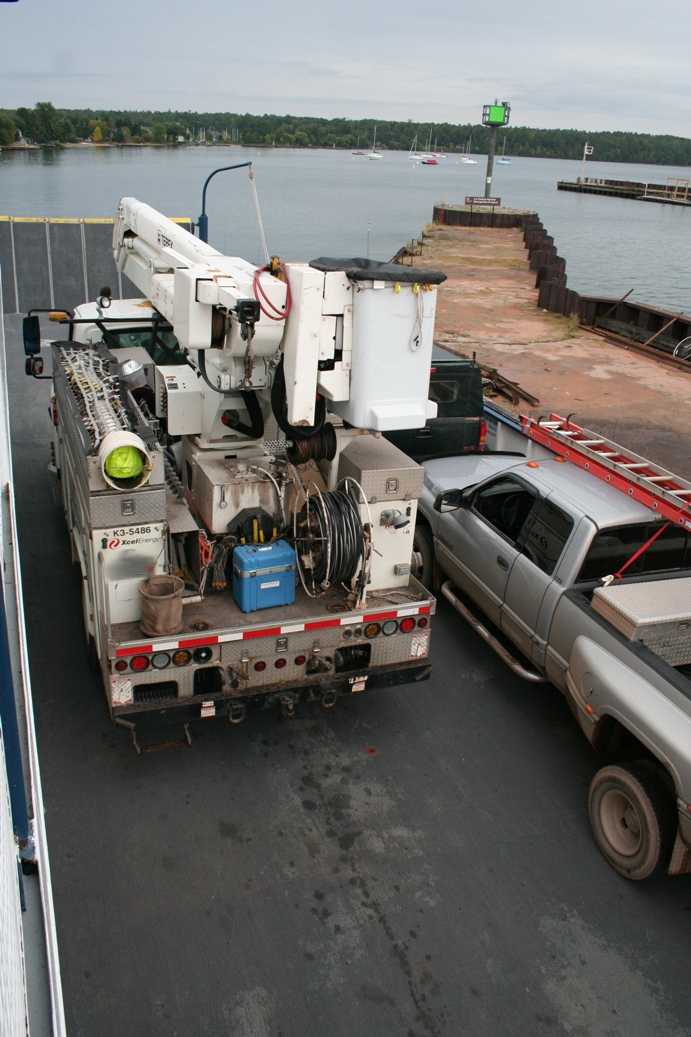
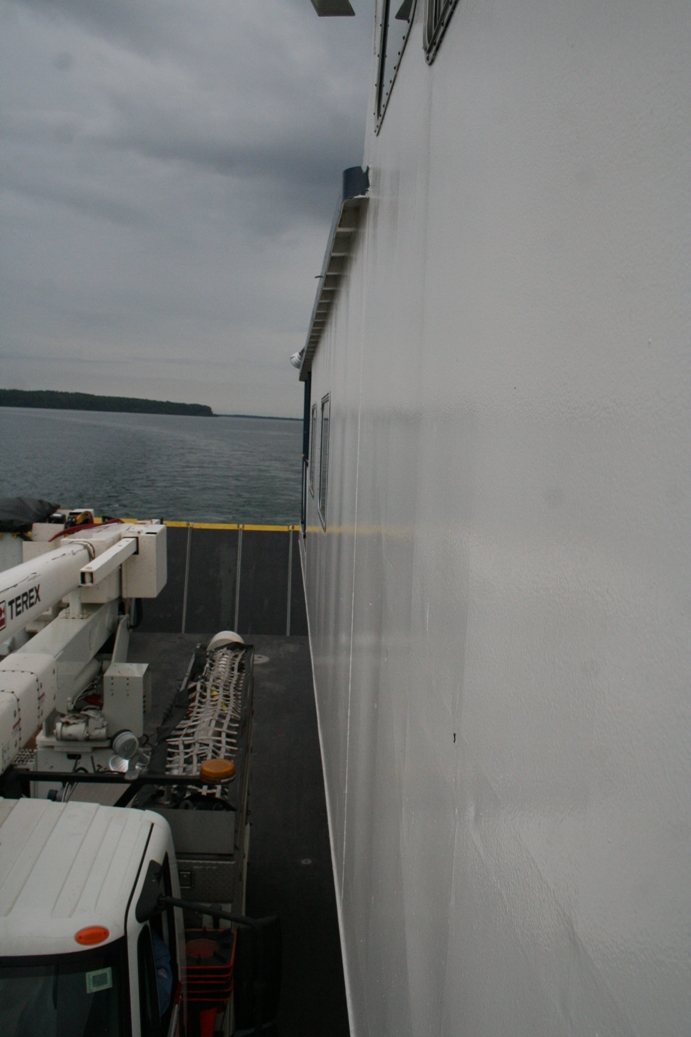
Of course the trip had to end, but at least the last part was just as fun as the
first part. We loaded the ferry for the return trip and once again, I
wandered the boat to see what was loaded aboard. I found the large utility
truck to be quite interesting sitting at the center of the ferry. The last
picture was added because I noticed our reflections in the back window of the
car as we stood on the observation deck. So far, that is the only picture
this trip with both of us in it.
|
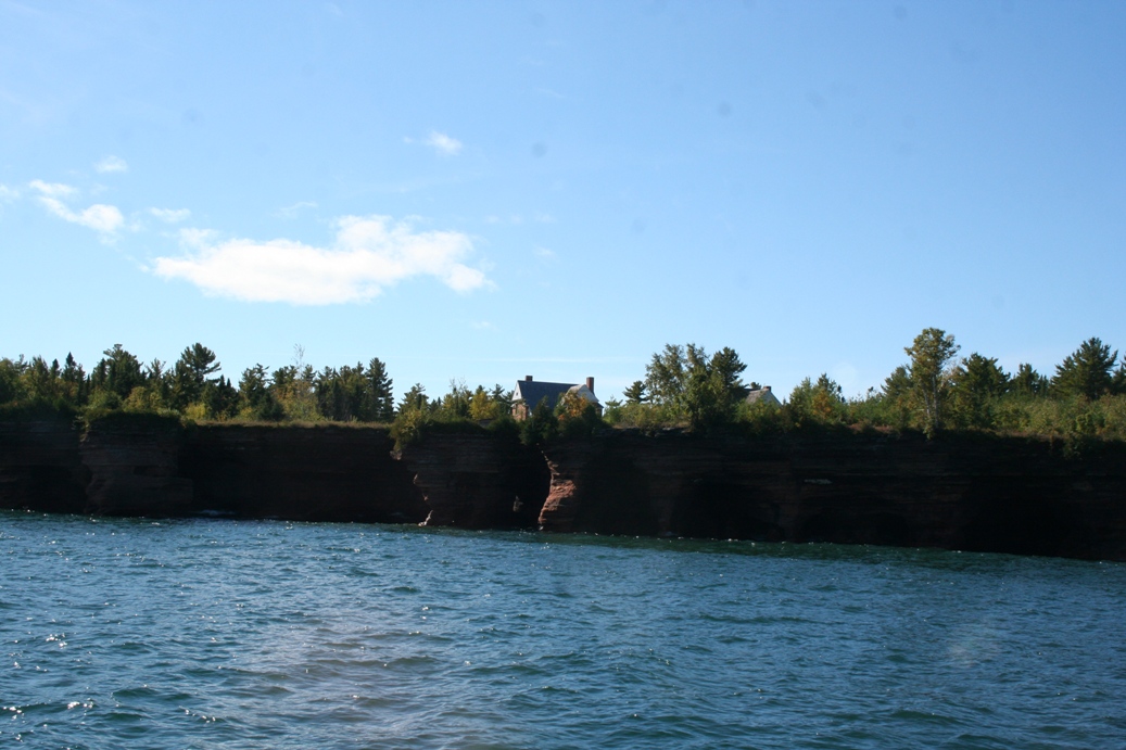
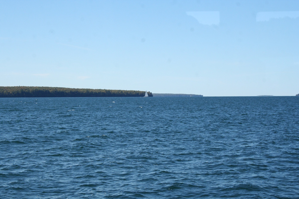
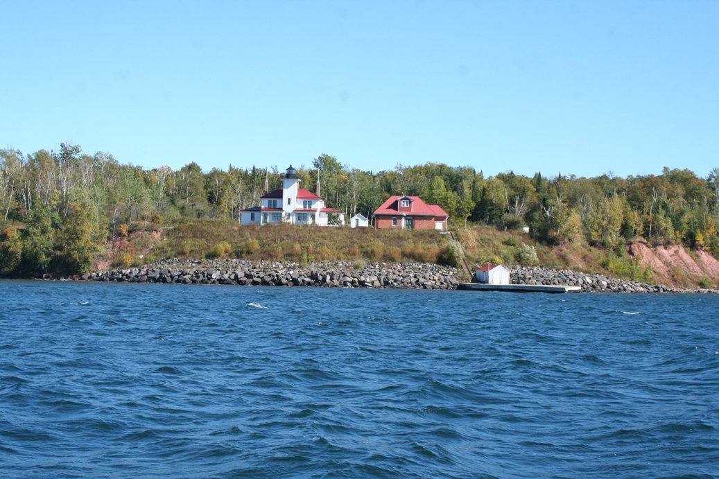
Apostle Islands, Wisconsin 2011
(Click on Images for Larger Picture)

|

|

|

|

|
|
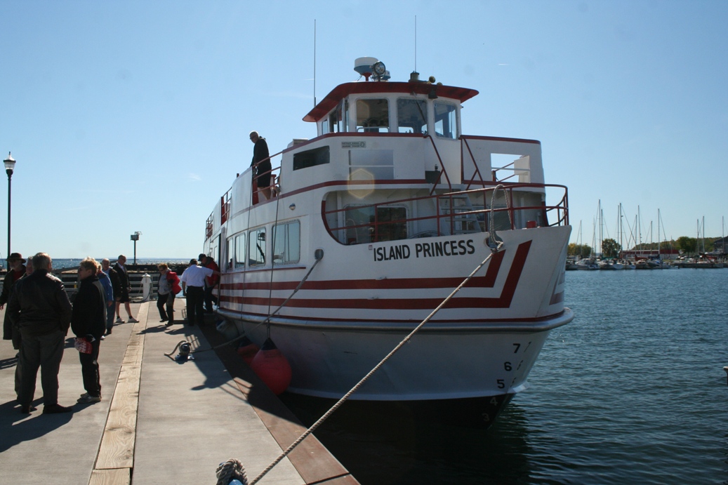
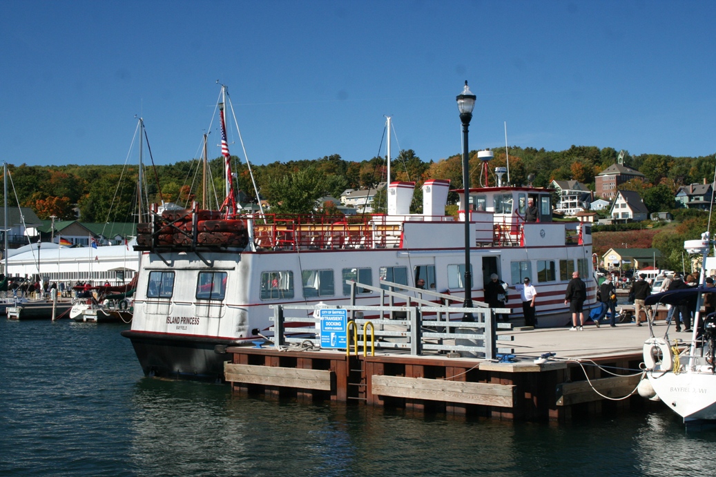
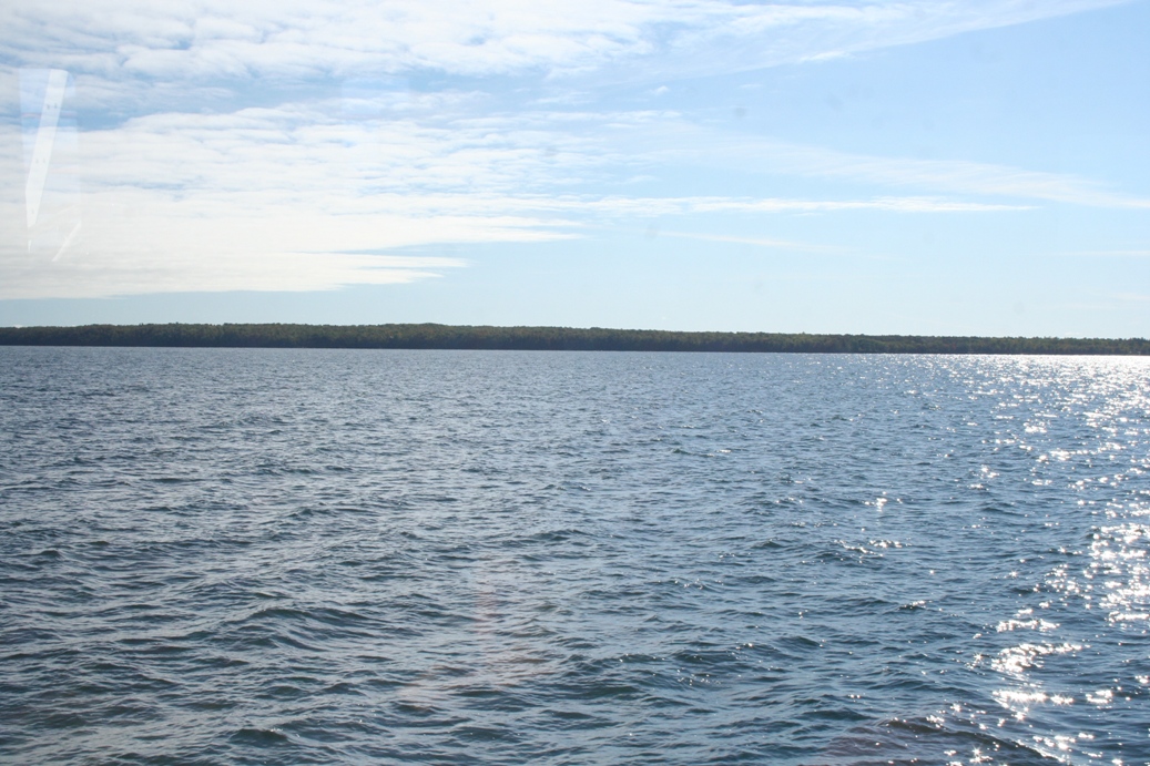
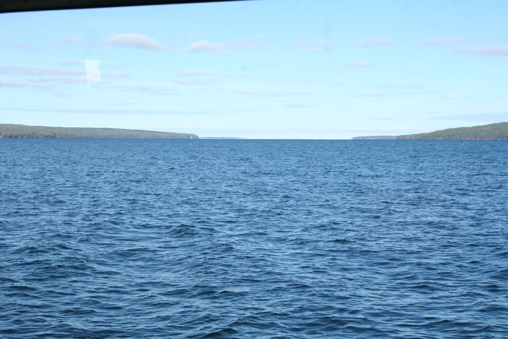
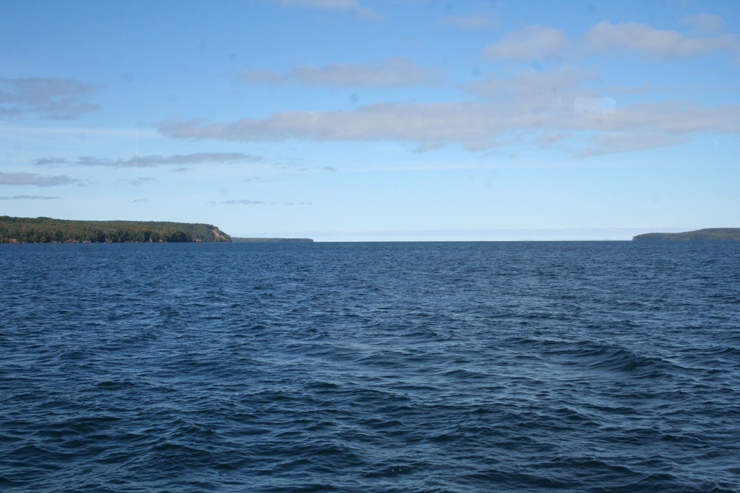
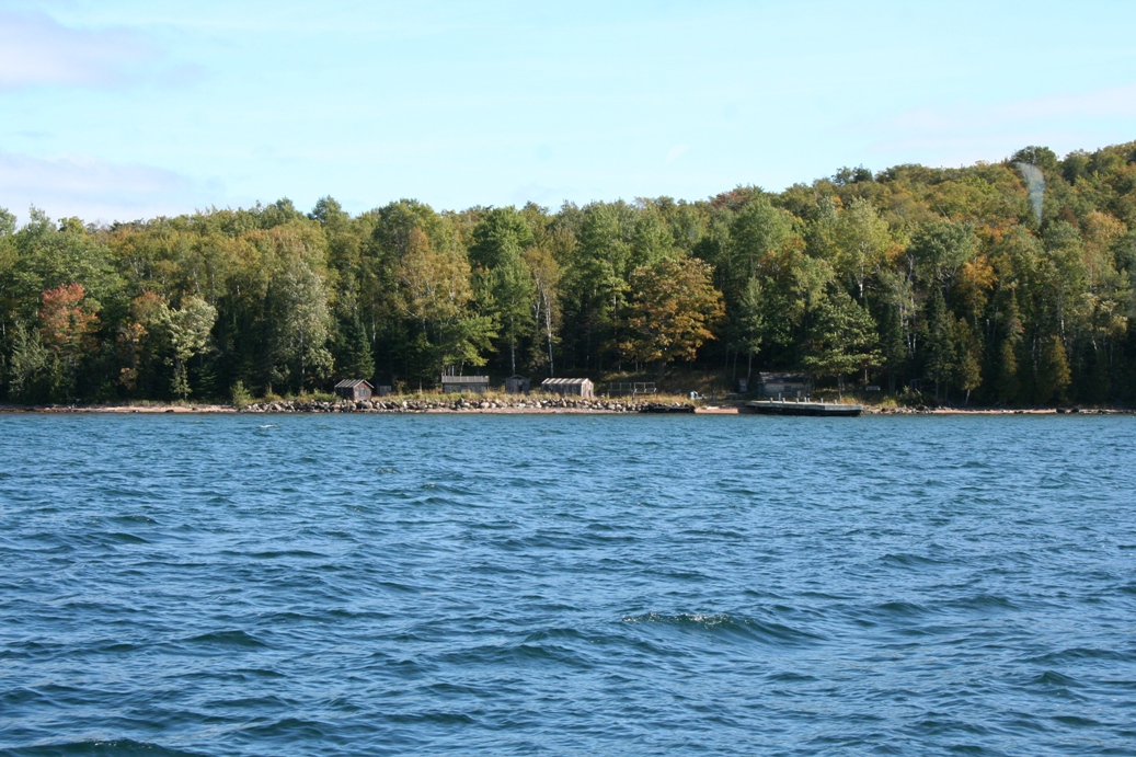
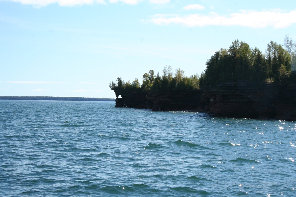
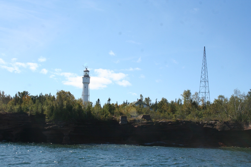
On the last day of our trip, we decided to take a boat tour of the Apostle
Islands. We had tried the day before, but the waves were still too high
from the previous days' storms. Even though the trip was full, we added
our names to the standby list. As it turns out, we were the first on the
list and were able to get a seat on the boat. The tour is about a three
hour tour and winds through the chain of islands called the Apostle Islands.
While a good portion of them were originally in the hands of private
individuals, the Federal Government enacted emanate domain, took possession of
the islands, and turned them into a National Park. The only exception to
this was Madeline Island. Since most of it was owned by private citizens
and fairly developed, they decided to leave it as it was.
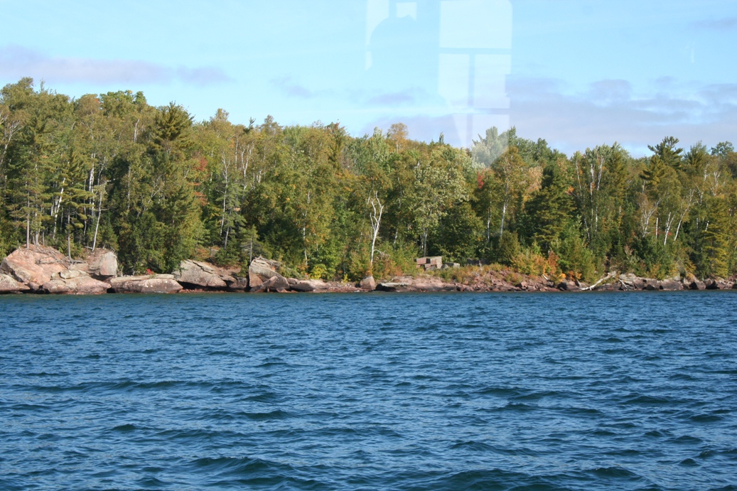
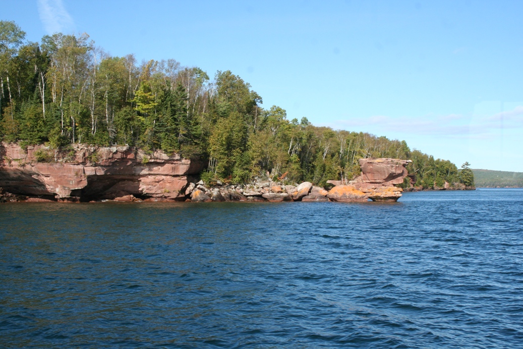
The boat used for the tour, the Island Princess, was originally constructed as a
passenger ferry and was used to ferry passengers back and forth from Mackinaw
Island. Now it is used to take visitors on a wonderful tour of the
islands. Along the tour, we were treated to stories of the islands and
their occupants, close up looks of a few lighthouses and their support
structures, an old fishing camp, and day to day boating life in the islands.
I would strongly suggest this tour if you are in the area, but remember to call
ahead early to reserve a seat.
|
|