September Travels 2013
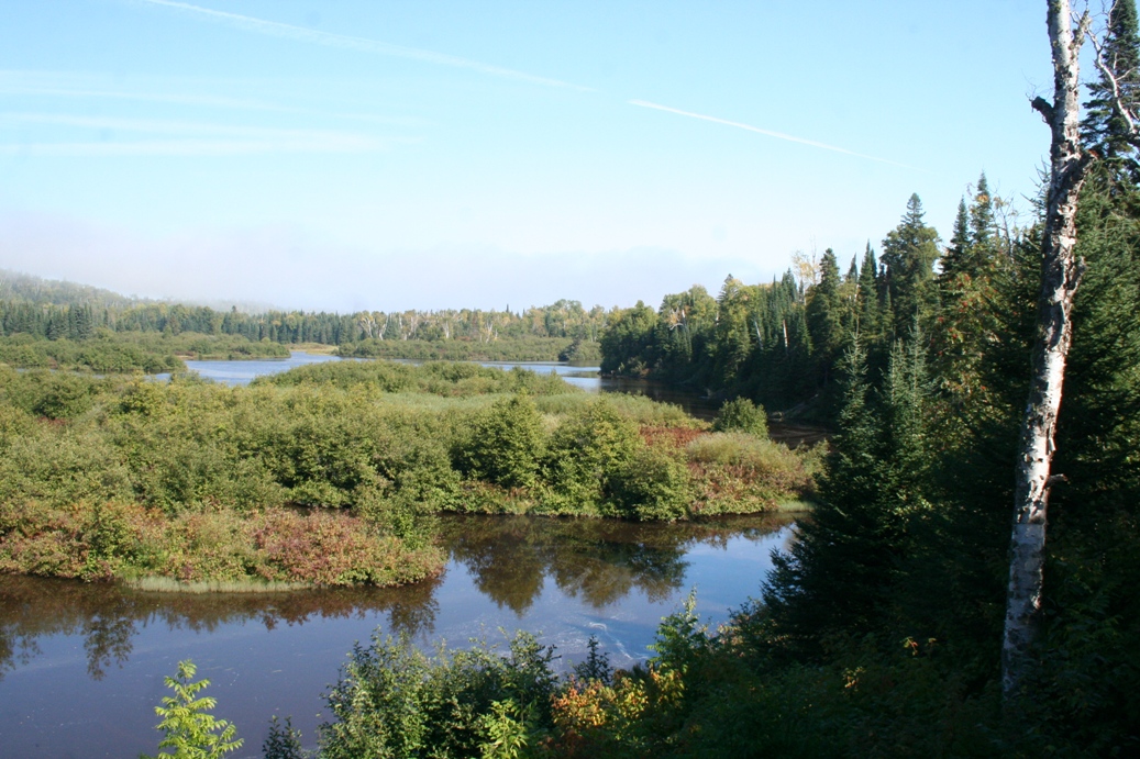
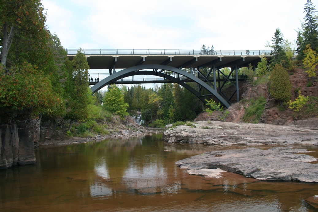
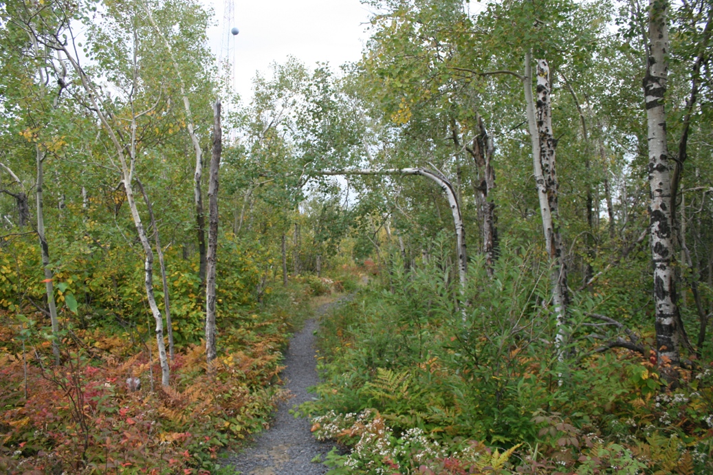
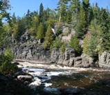
Temperance River State Park
(Click on Images for Larger Picture)
|
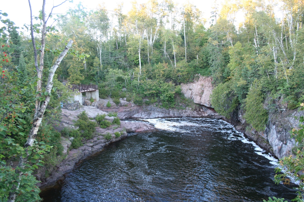
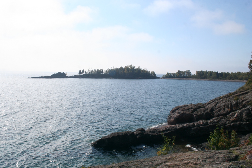
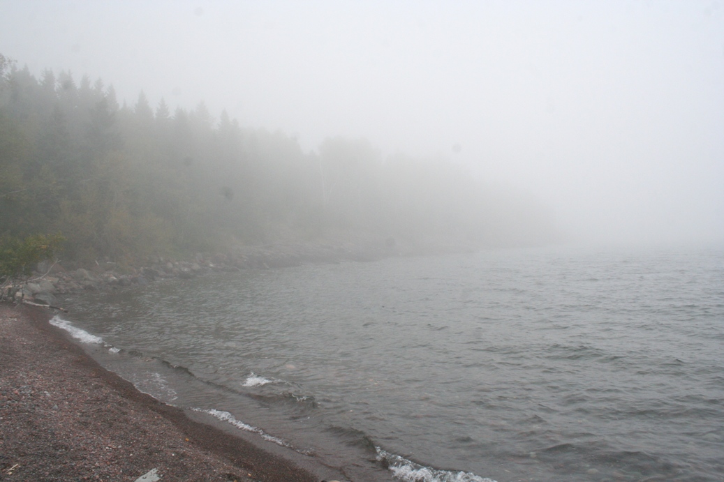
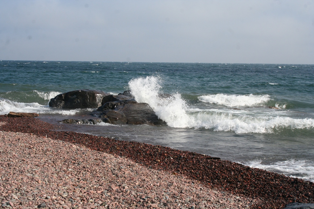
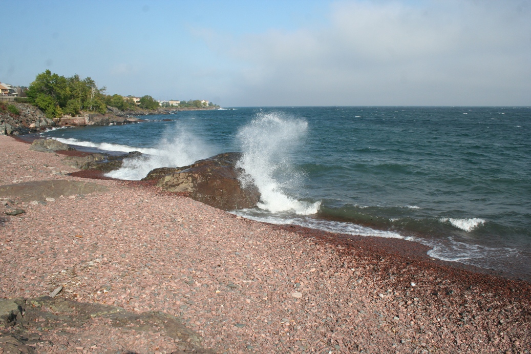
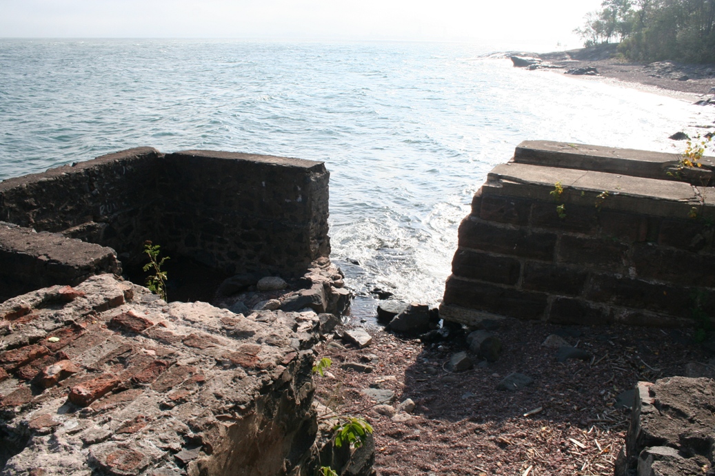
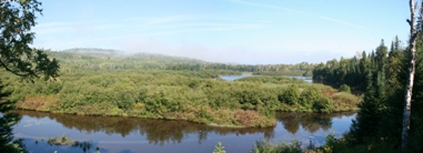
Fall
is a wonderful time to visit the North Shore of Lake
Superior. The weather is a bit chilly, the
colors are starting to change, and you never know
what the lake is going to do. The photos above
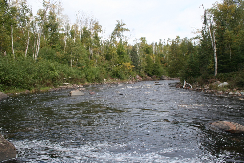
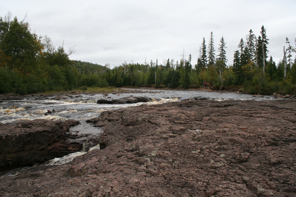
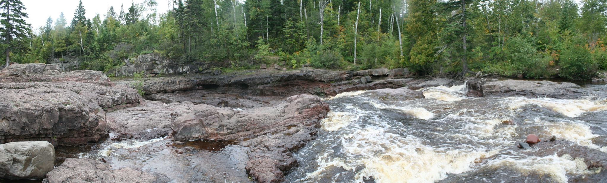
are from the mouth of the Temperance River and were
taken the first night we arrived. The river
was a little down due to the low rainfall this year,
but the lake did get a little rough a couple of
days.
|
(Click on Images for Larger Picture)
|
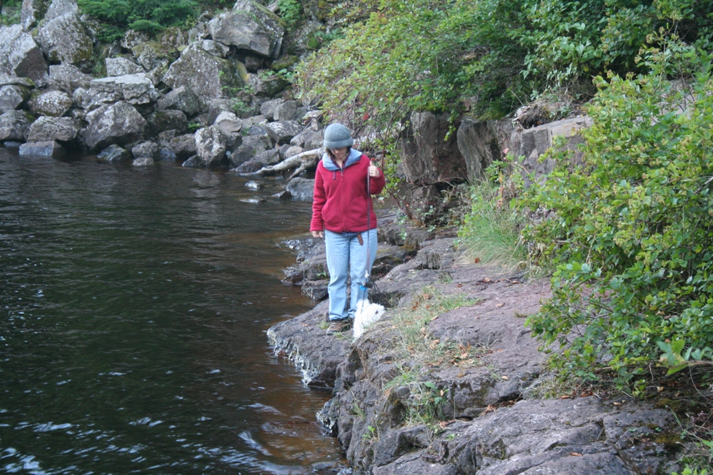
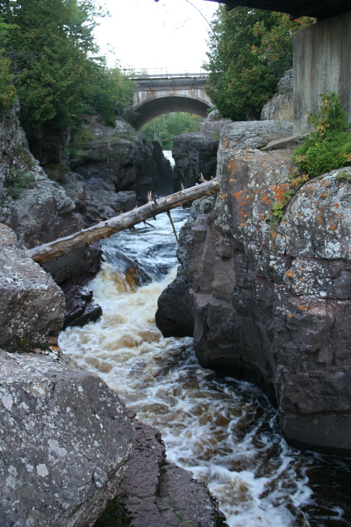
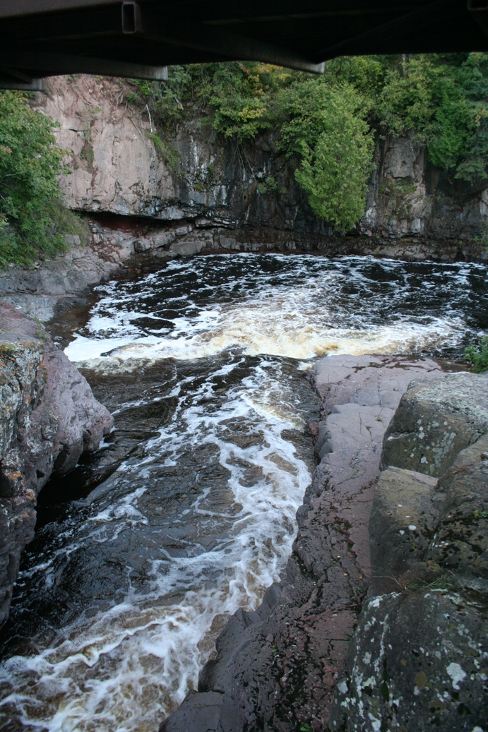
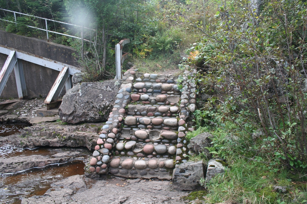
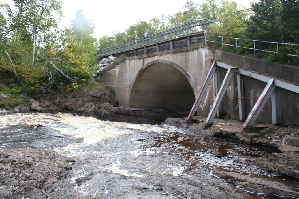
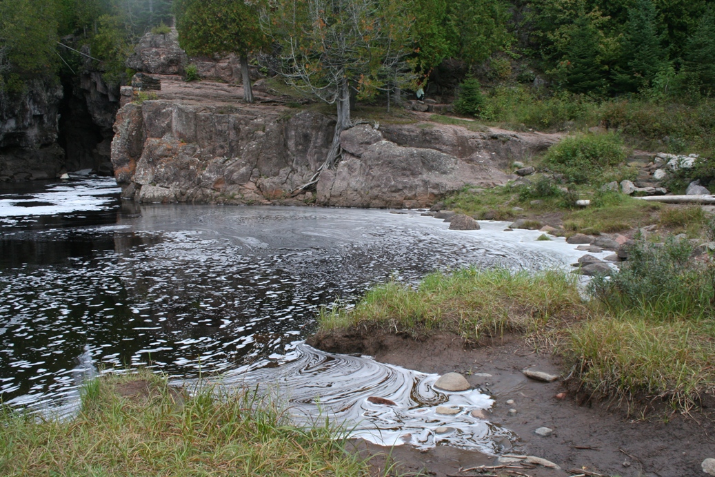
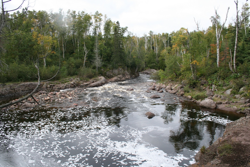
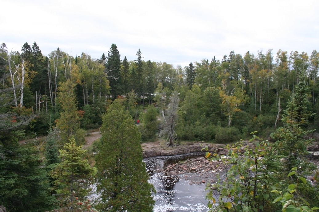
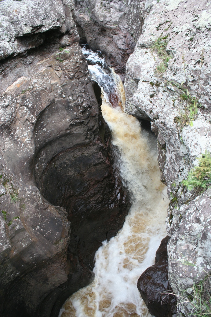
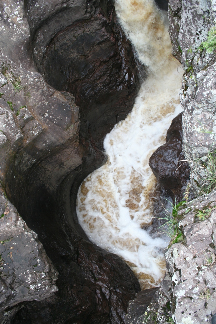
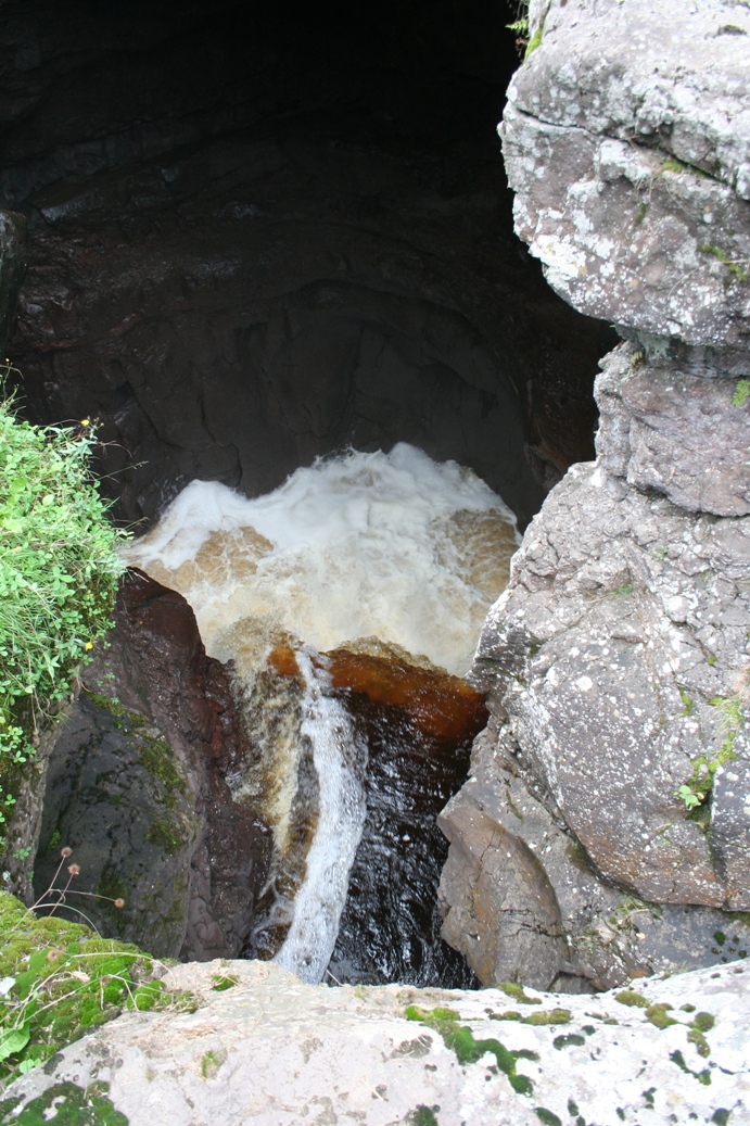
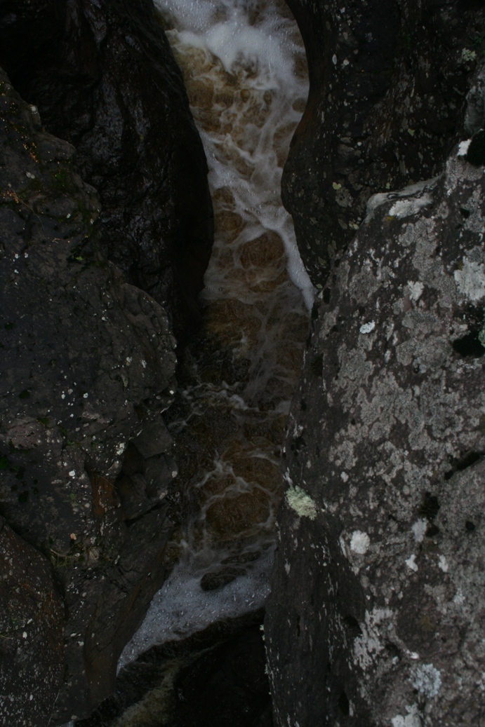
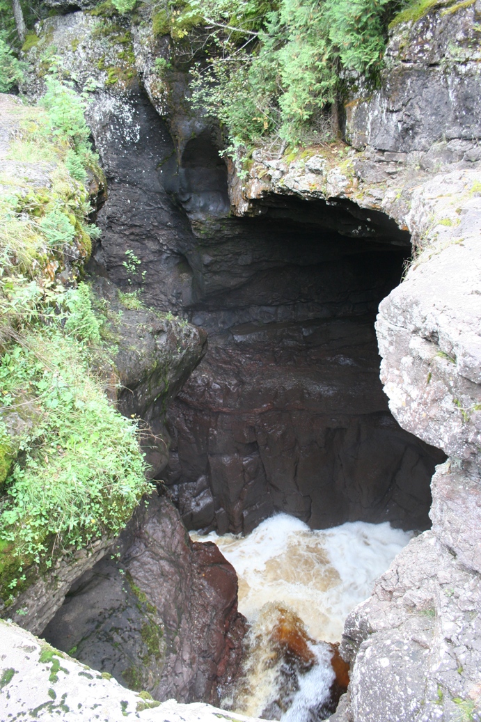
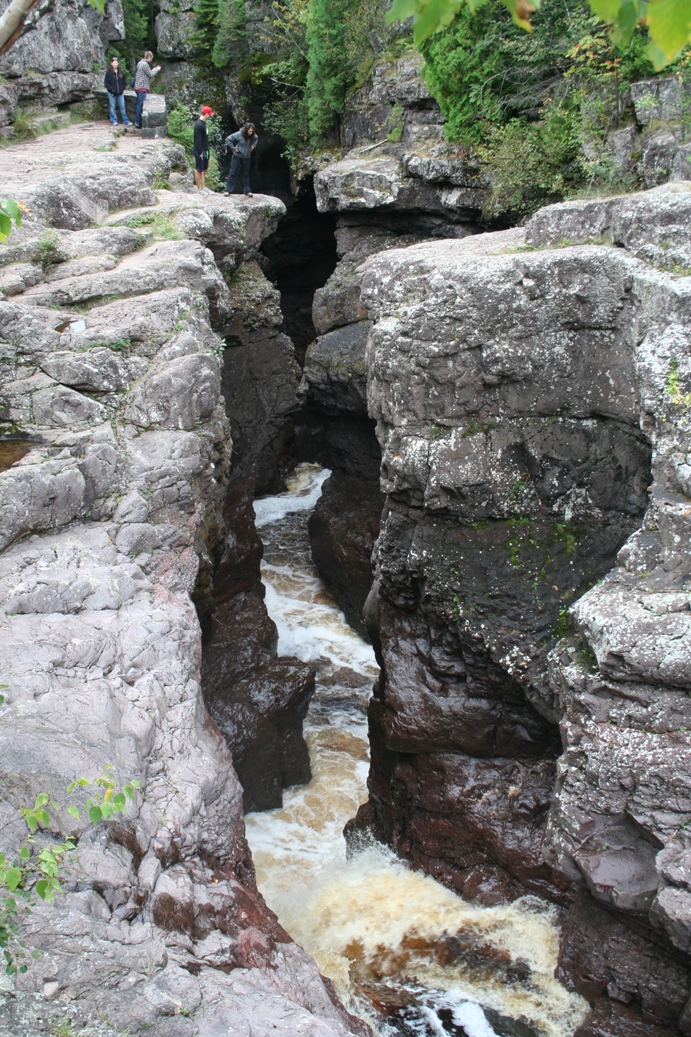
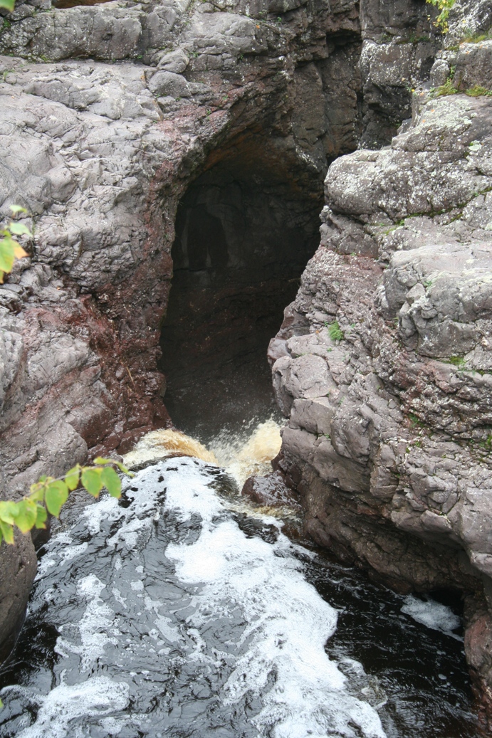
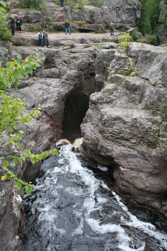
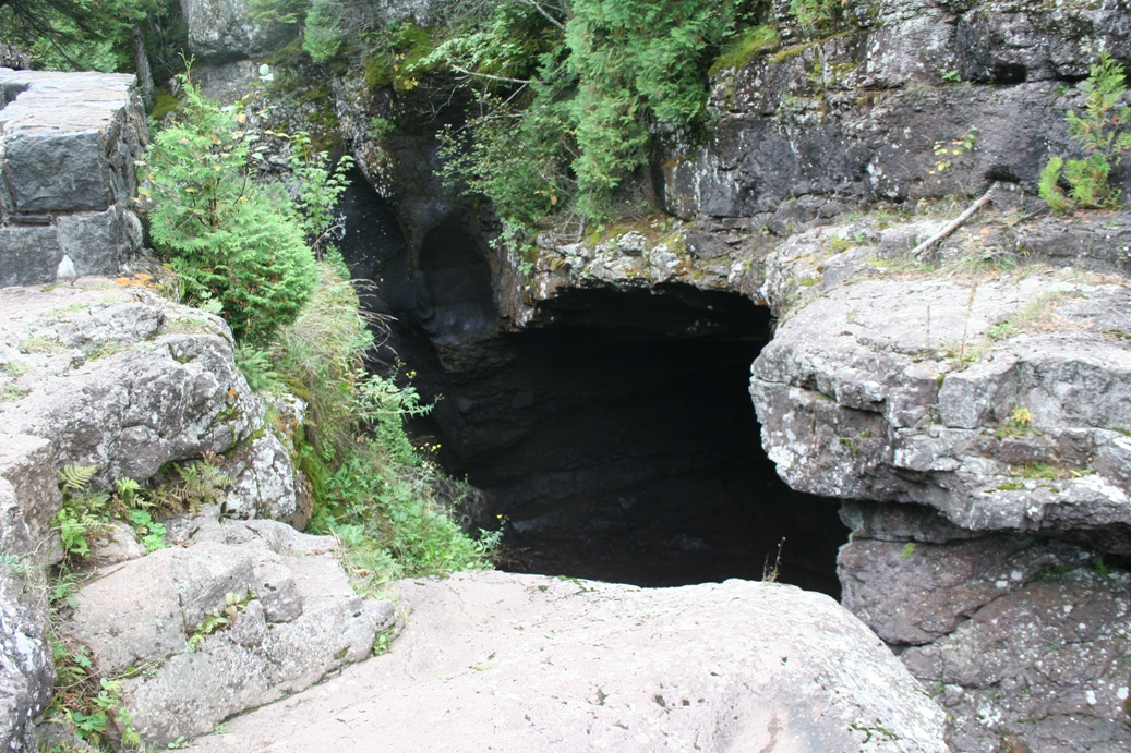
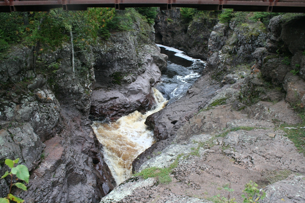
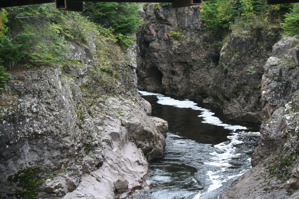
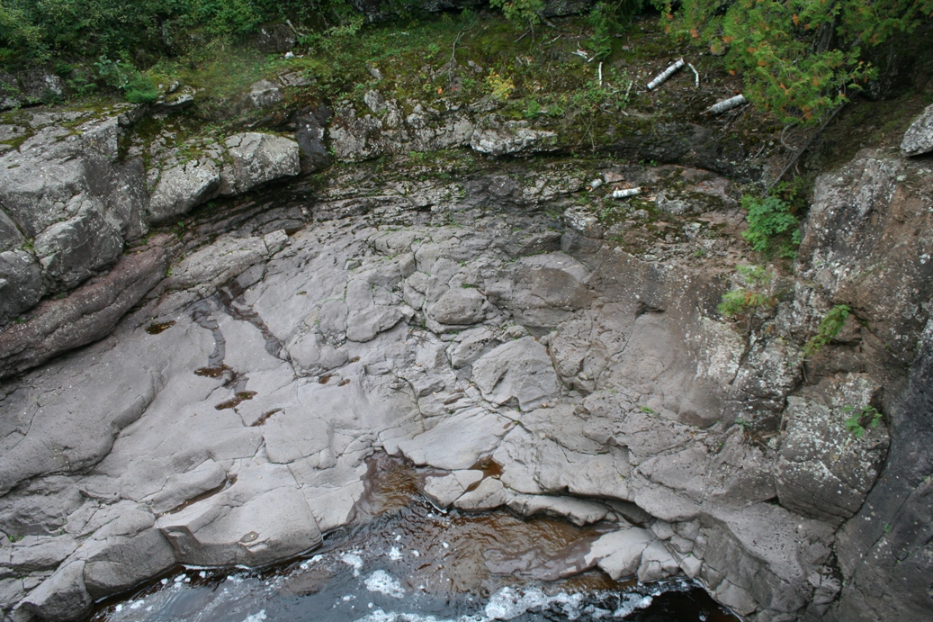
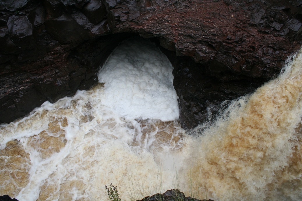
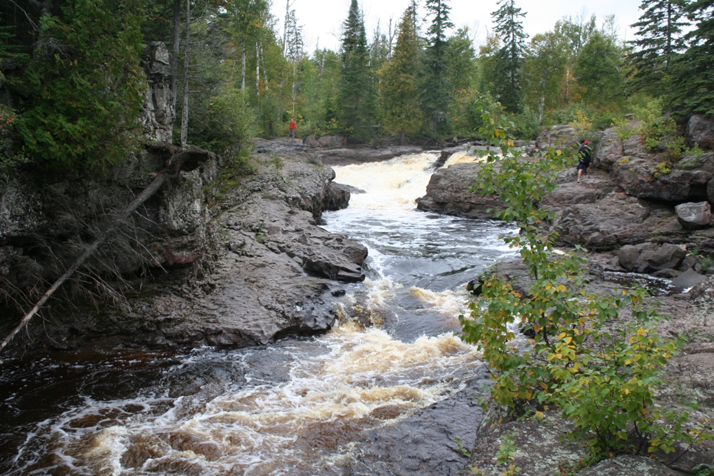
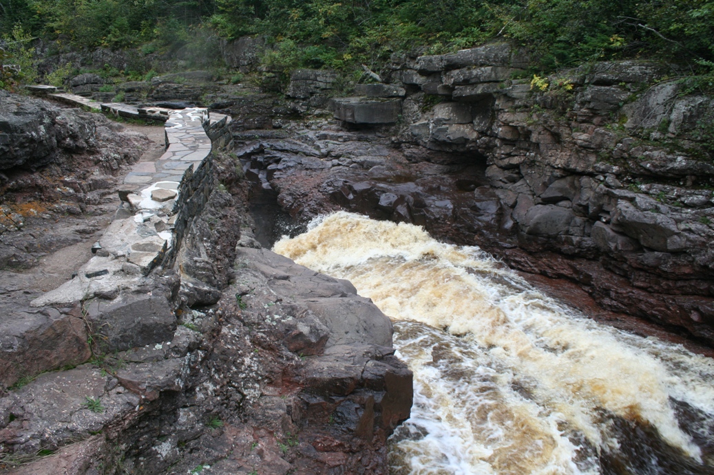
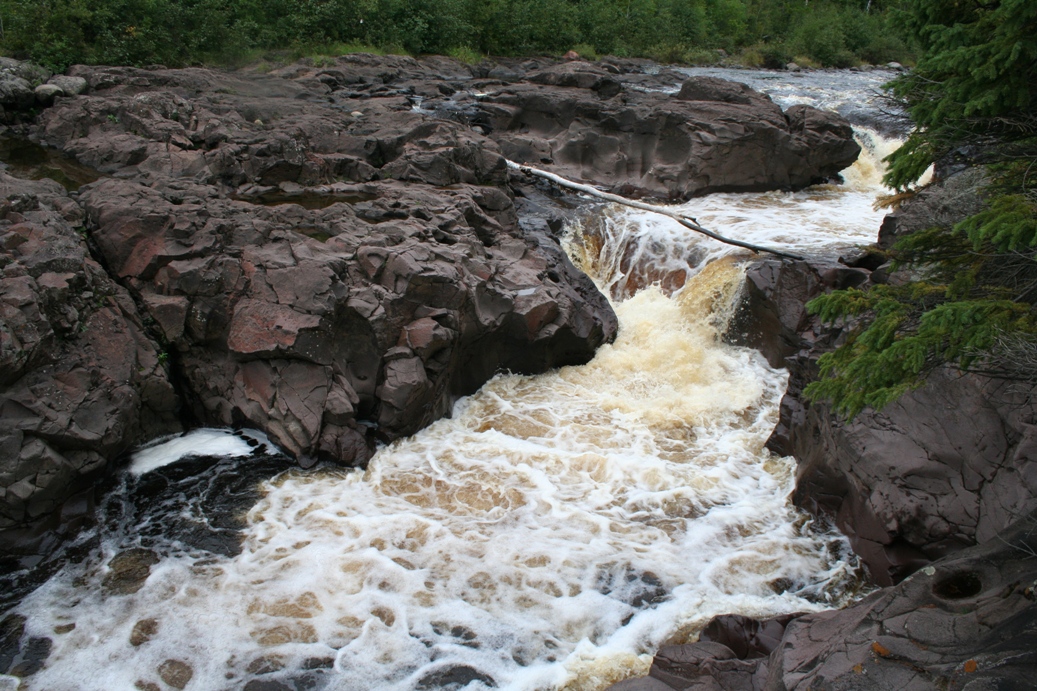
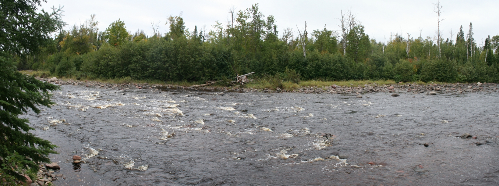
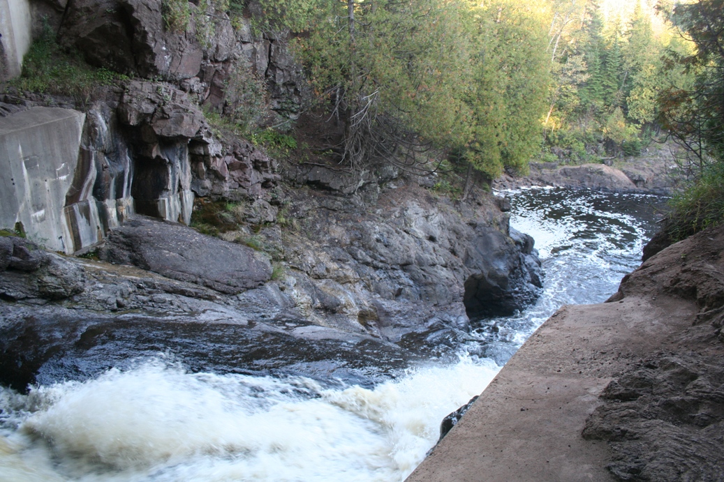
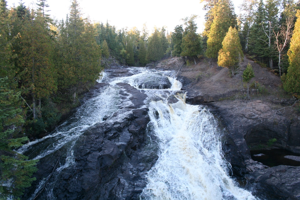
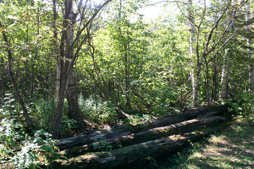
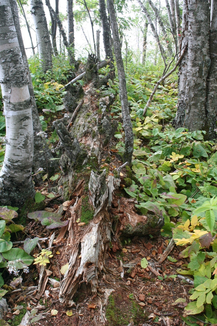
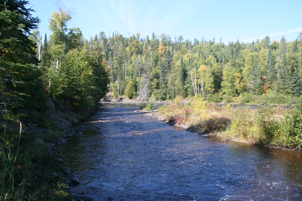
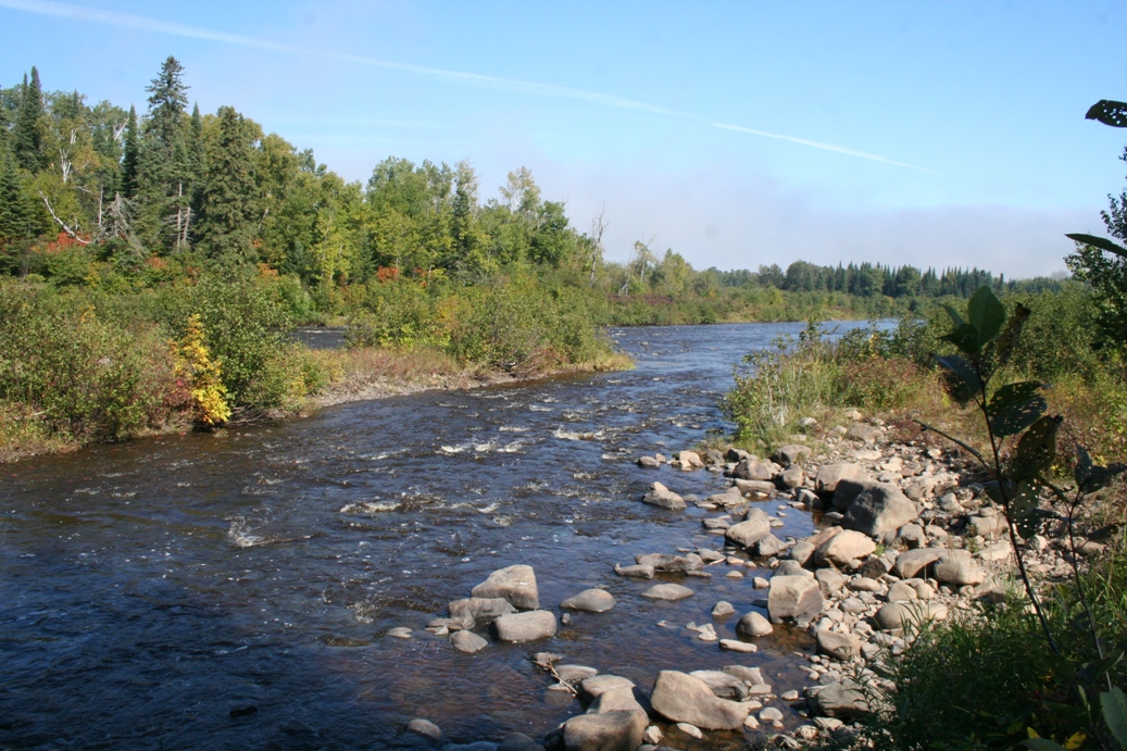
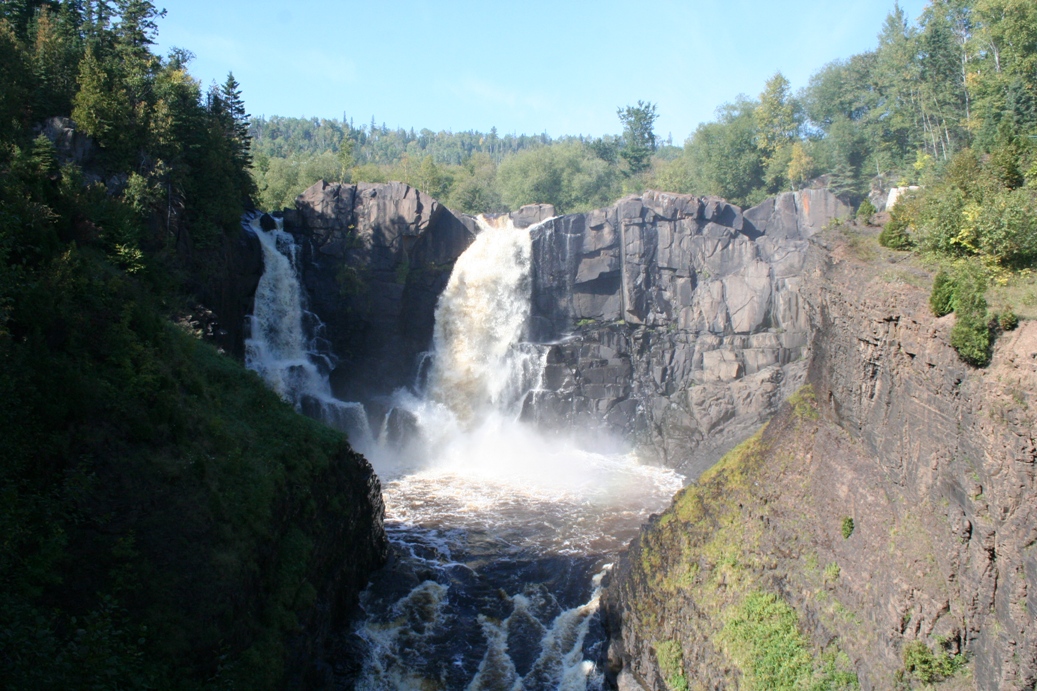
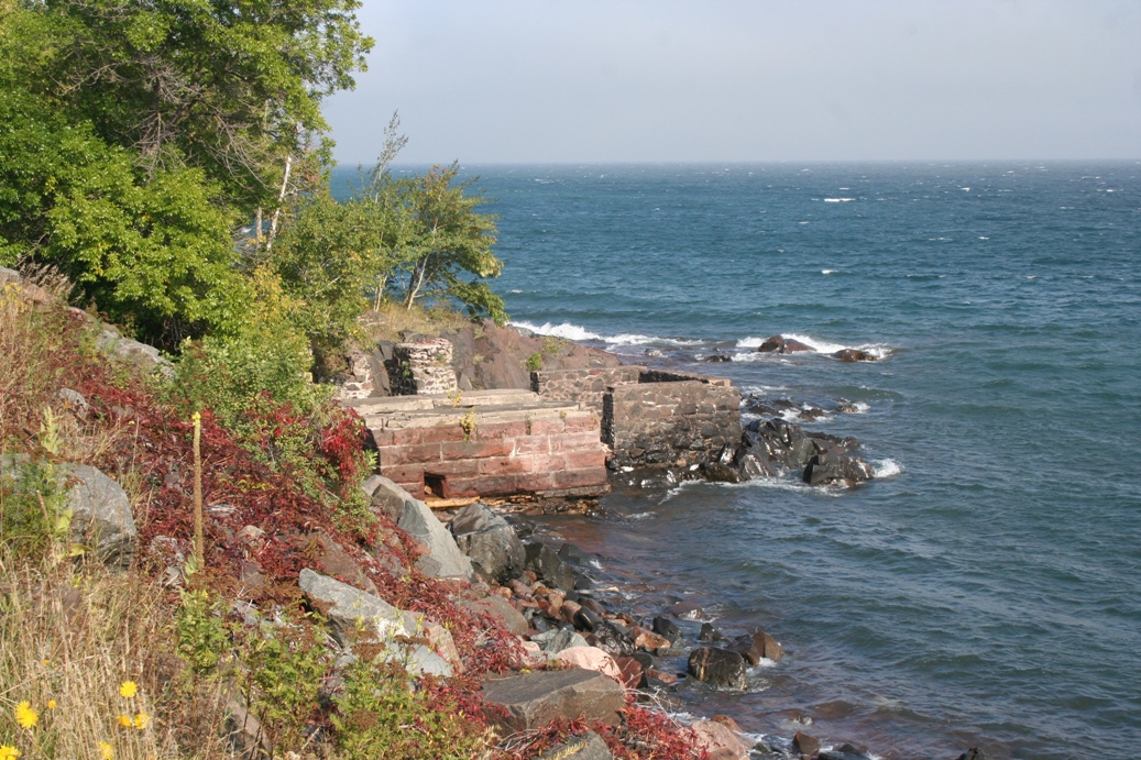
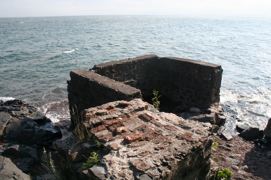
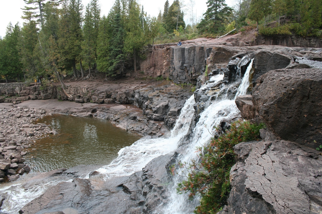
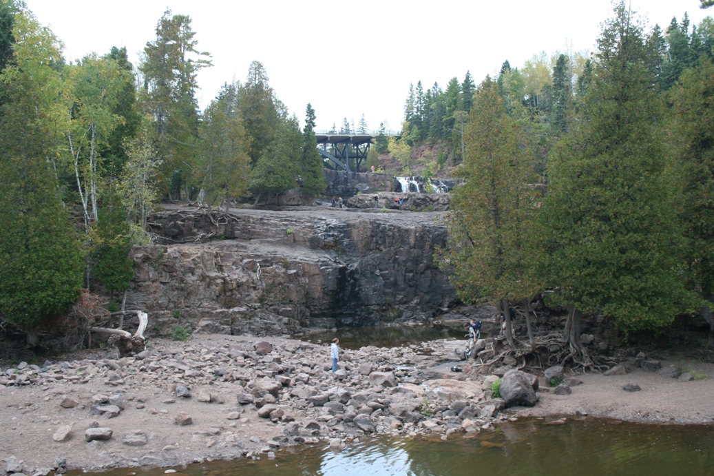
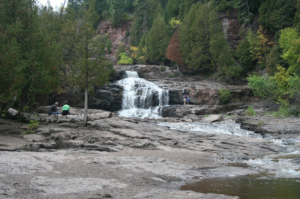
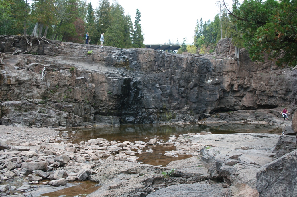
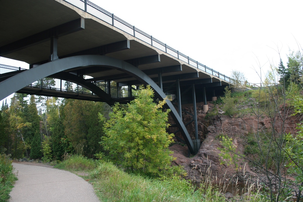
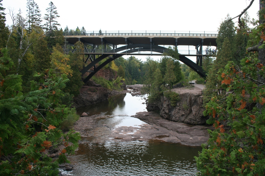
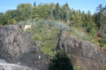
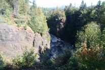
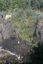
The
photos above are of our hike up the Temperance River
from camp the second day we were there. The
falls in the fourth and last picture of the series
were called the hidden falls. At one time, the
falls actually flowed over the ground to the left
and right of the gorge in the pictures, but that was
many thousands to hundreds of thousands of years
ago.
|
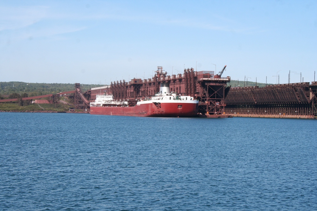
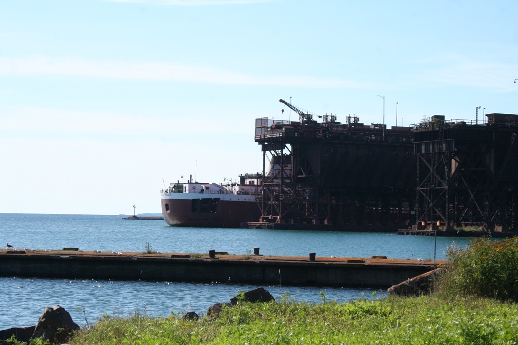
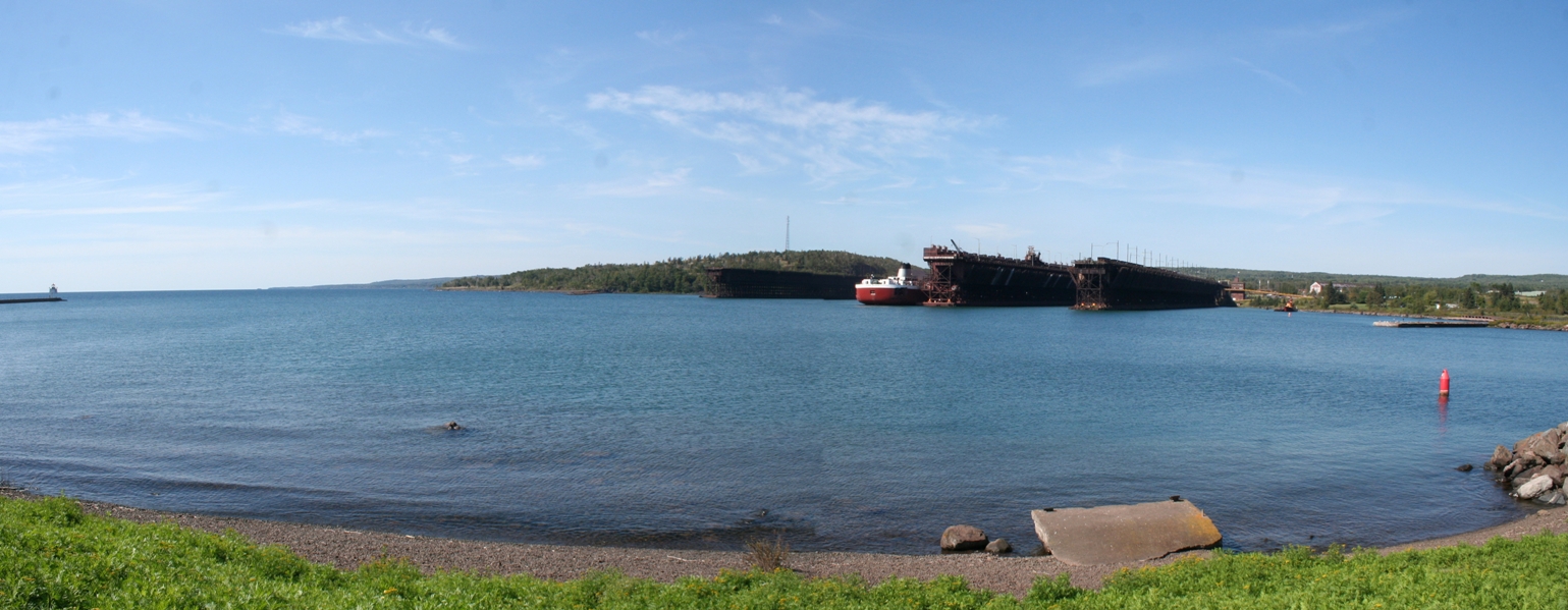
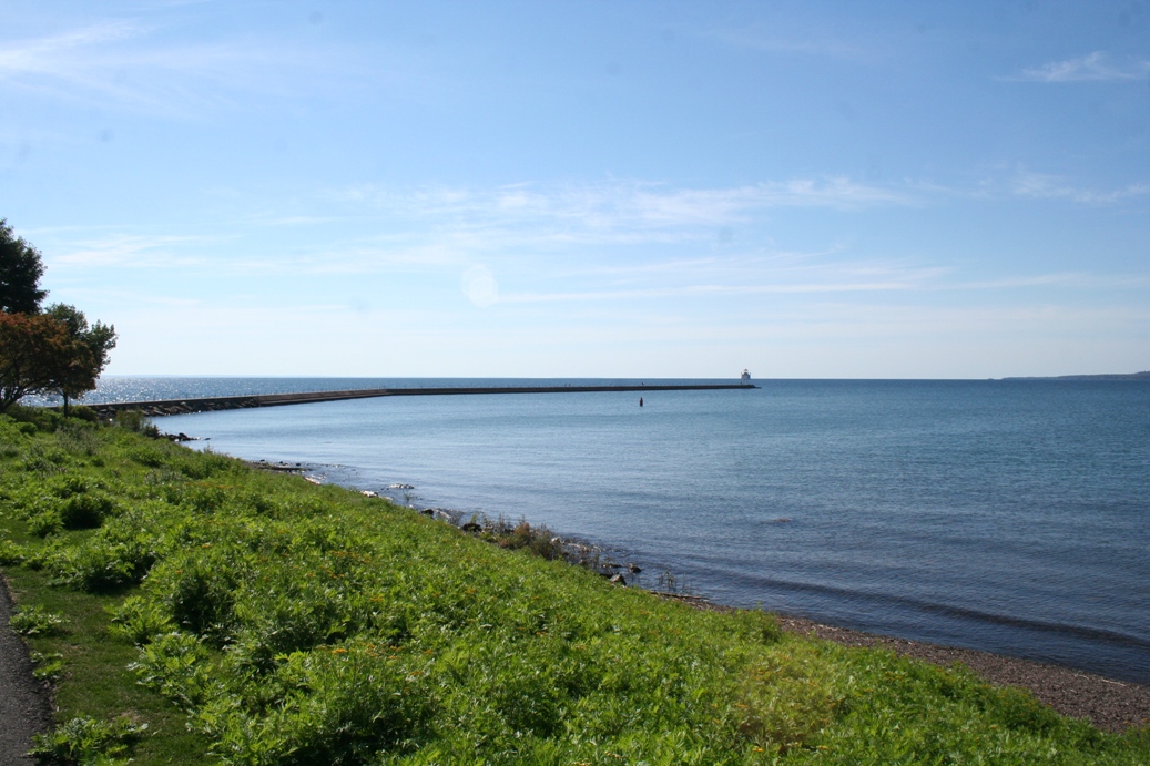
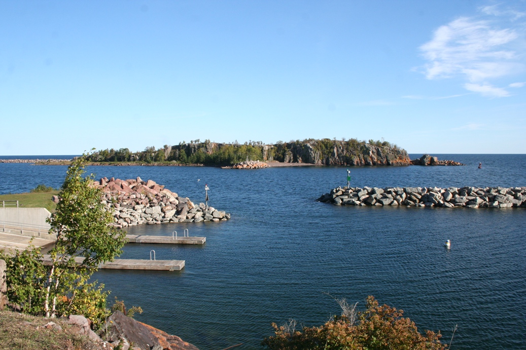
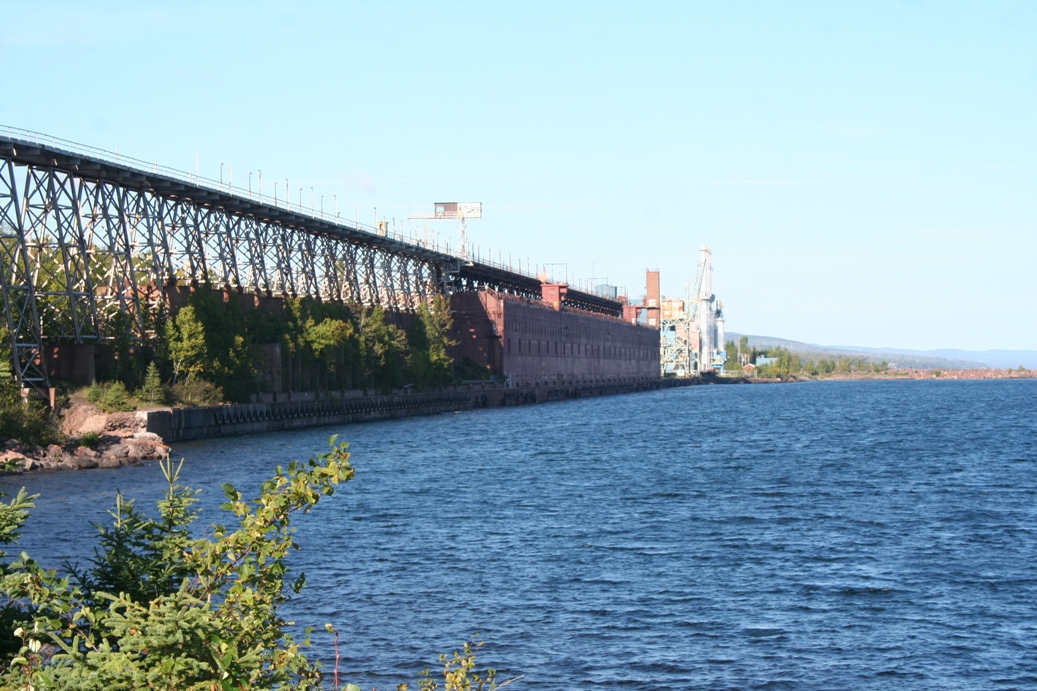
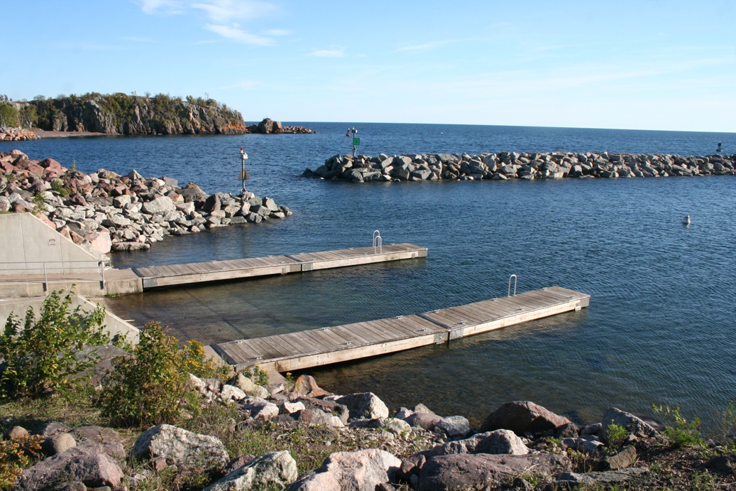
Two Harbors, Minnesota
(Click on Images for Larger Picture)
|
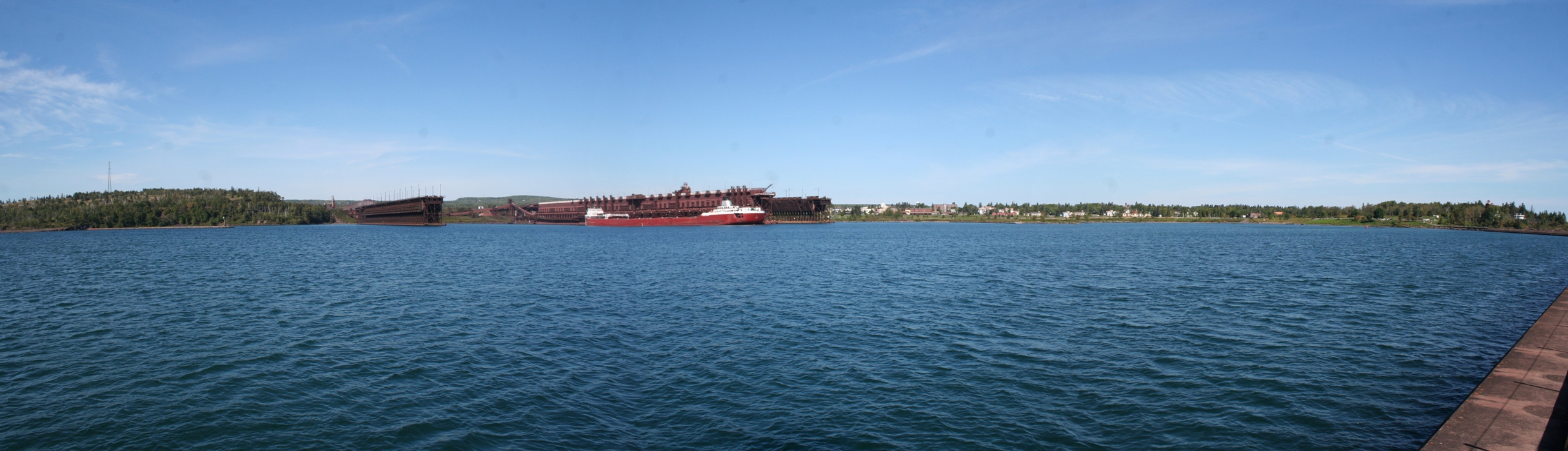
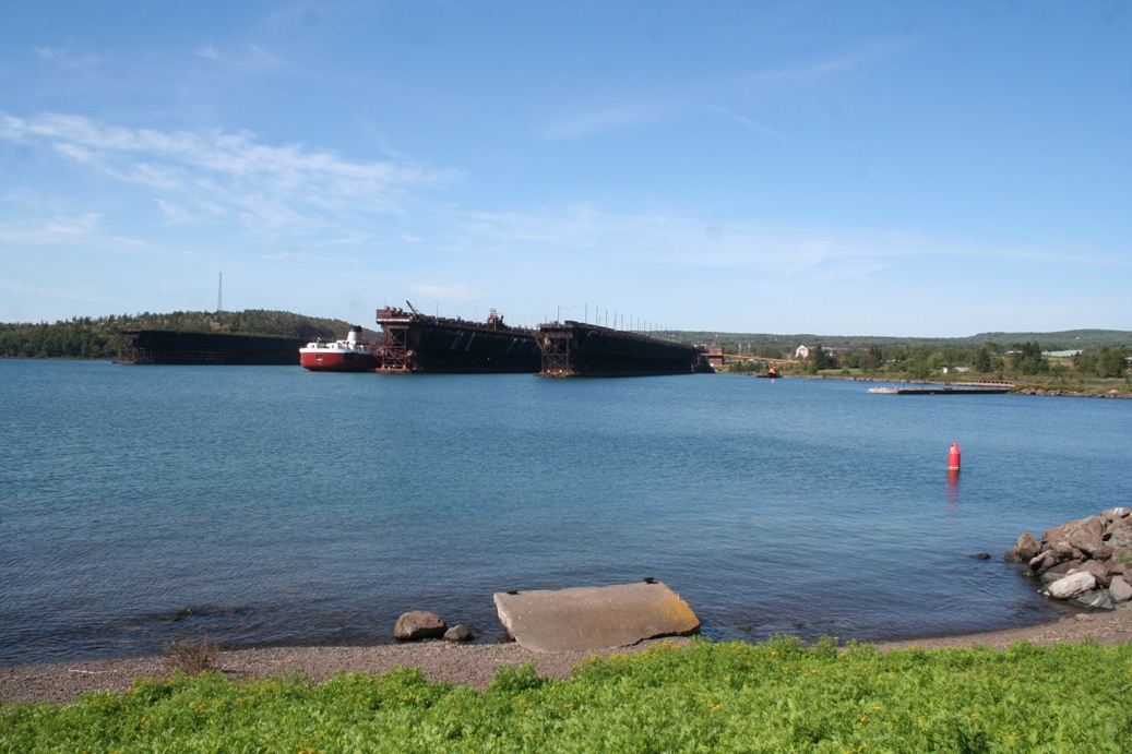
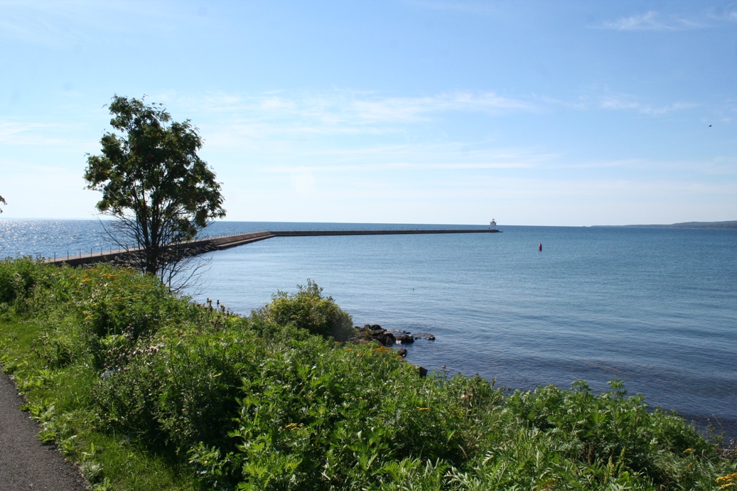
This
was our usual trip back to Two Harbors, Minnesota.
It is always a treat to visit, walk out on the
breakwater, and see what ships might be utilizing
the bay. This year we came across the Roger
Blough again.
|
(Click on Images for Larger Picture)
|
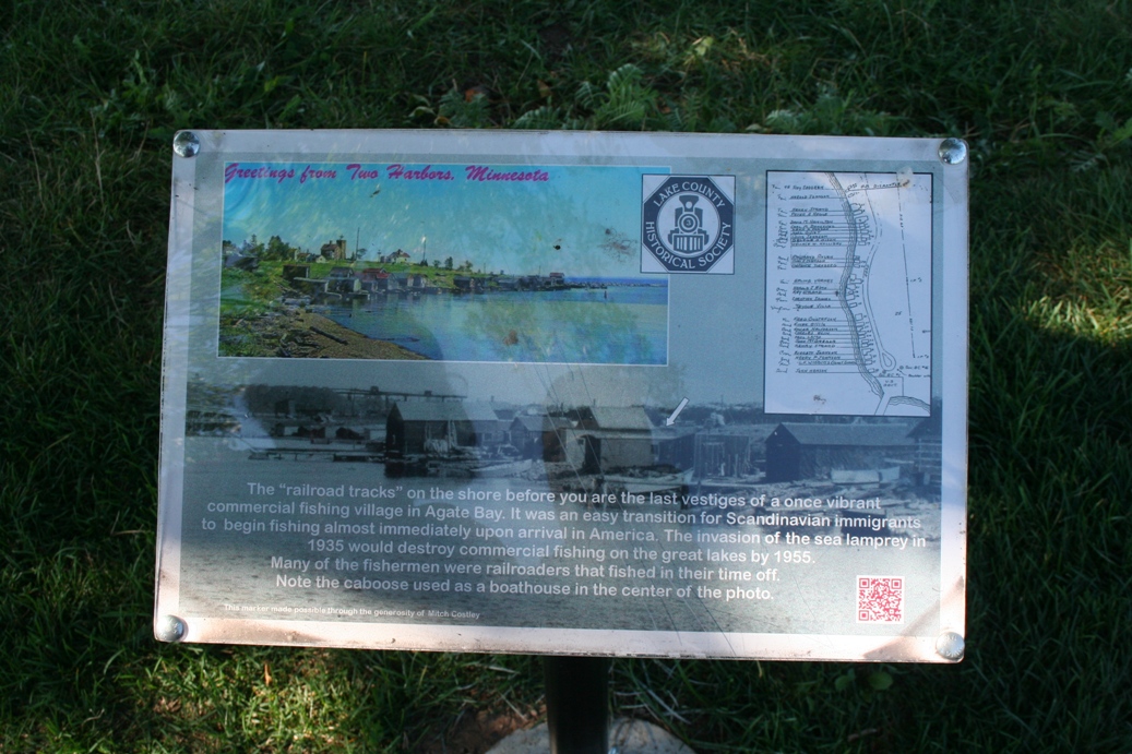
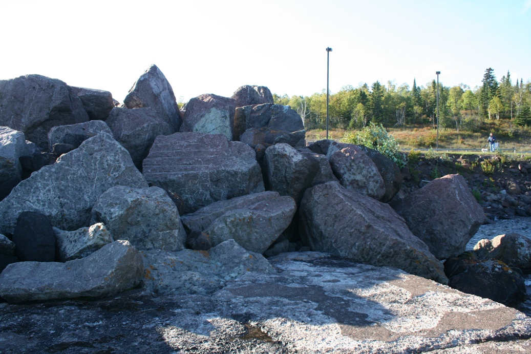
We
learn a little bit more about the bay each time we
come back. This time, we found some
information about a fishing village that once was
located along the shoreline. You can still see
the railroad tracks in the last picture. We
assumed that they were used for launching and
retrieving larger fishing boats, but we could not
find information to substantiate that.
|
(Click on Images for Larger Picture)
|
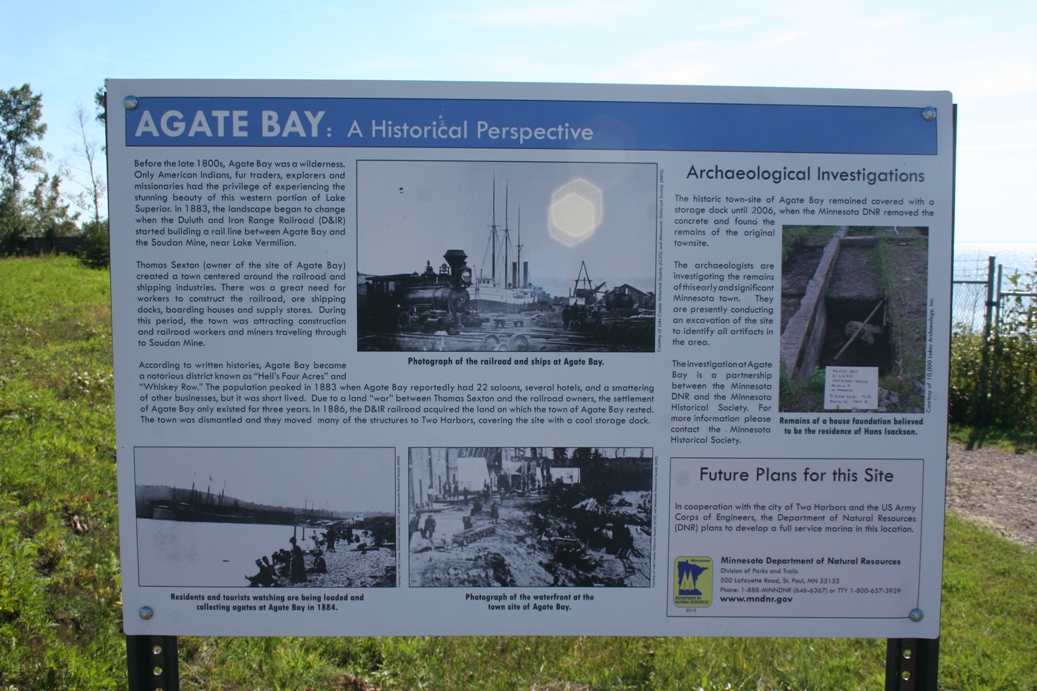
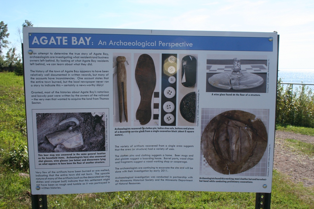
We
also found out about the history of Agate Bay, the
forerunner to Two Harbors. The area just east
of the Train Depot Museum is slated for some new
developments. While plans were being made,
some interesting historical items were found, which
caused an archeological dig to take place. The
boards in the first two images tell a very
interesting story about that and the history.
The third board pictured talks about the industry
that was on the site, as well as has some pictures
of a huge crane that used to be located here.
The last picture shows the remains of one of the
tracks that the crane was mounted on.
|
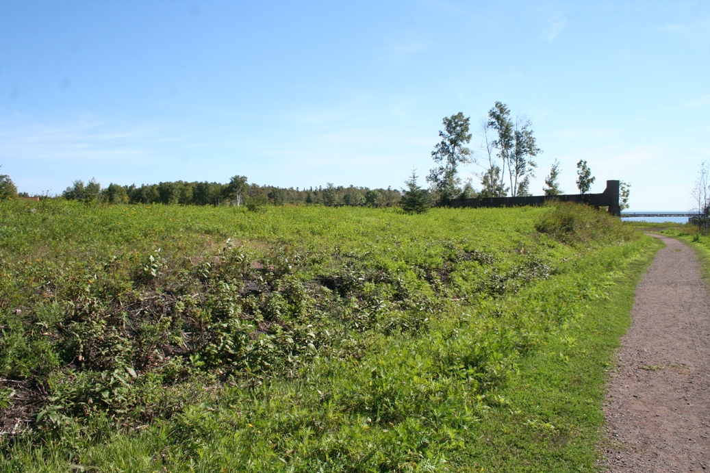
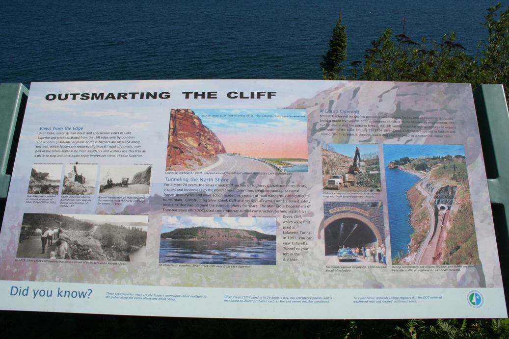
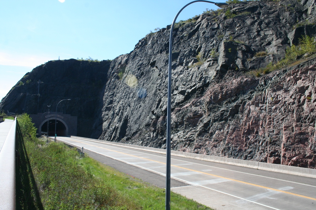
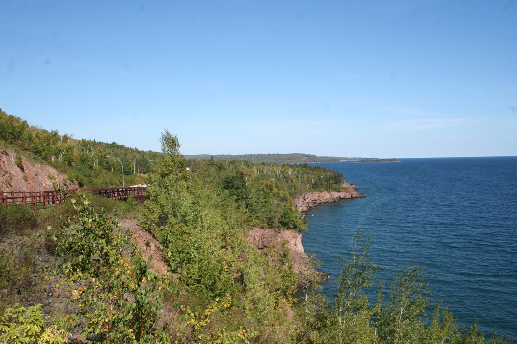
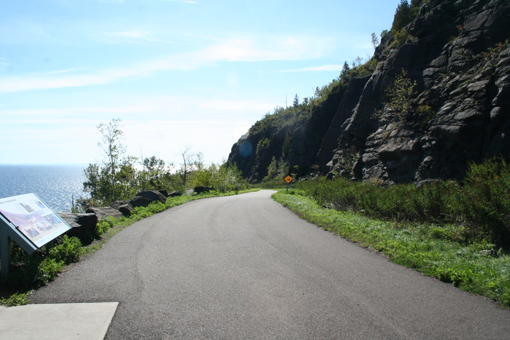
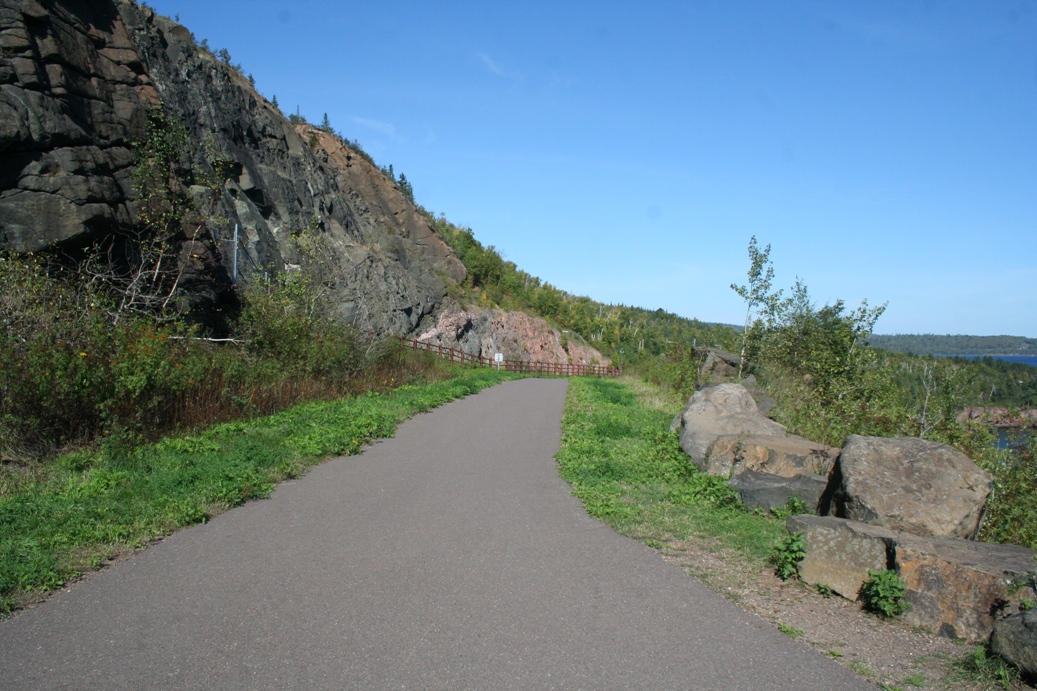
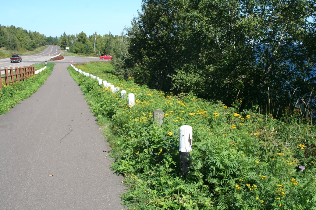
North Shore Drive
(Click on Images for Larger Picture)
|
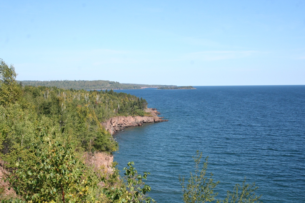
This
is a fun part of the highway running along the North
Shore of Lake Superior. You come to not one,
but two tunnels, a completely unexpected feature.
We always thought the tunnel pictured, Silver Creek
Cliff, and the one in the distance to the north in
the third picture, LaFayette Tunnel, appeared rather
new, but we did not realize how new until this trip.
We finally decided to stop and visit the scenic
overlook and we learned that the tunnels were
constructed in the early 1990s. You can get
the full story of that by reading the board in the
first picture. What is impressive is that in
the last three pictures, you can see where the
highway used to run alongside the lake. The
road would not have been much bigger than the
walking path from the parking lot to the overlook.
You can get an idea of the treacherous drop on the
lake side of the old highway in the forth picture in
the first row. The posts in the last picture
are what used to be the only guard rail alongside
the highway.
|
(Click on Images for Larger Picture)
|
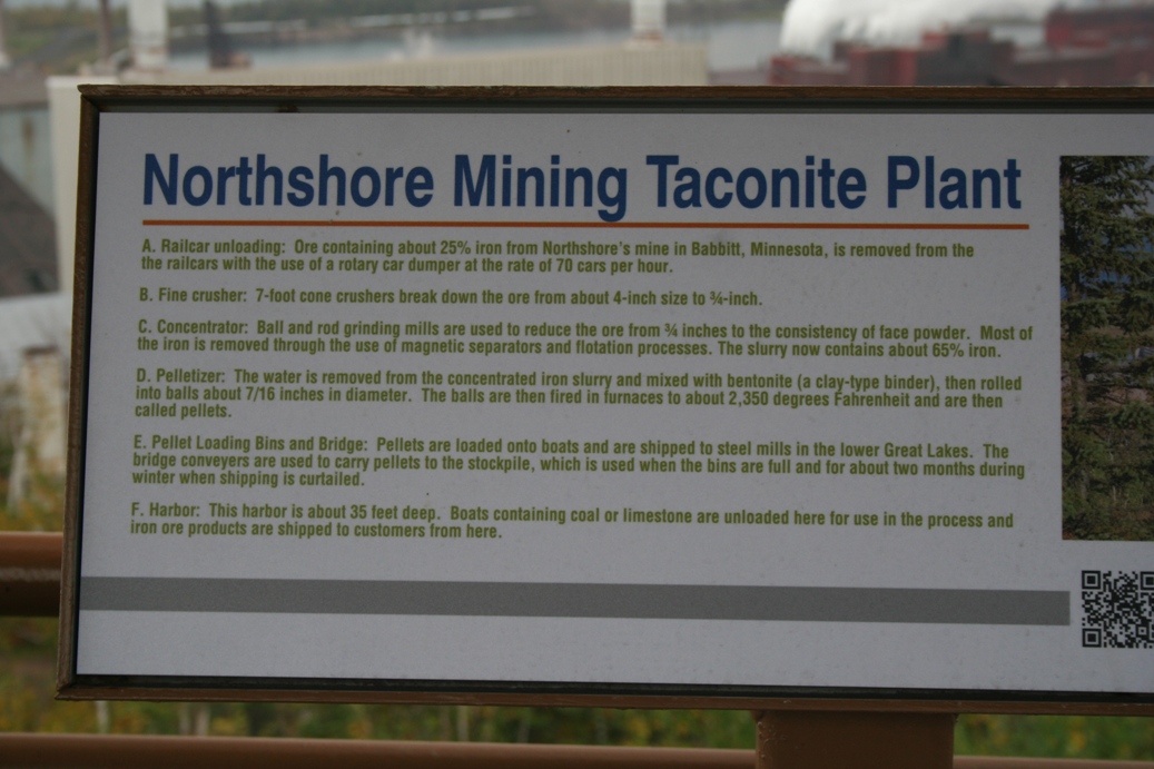
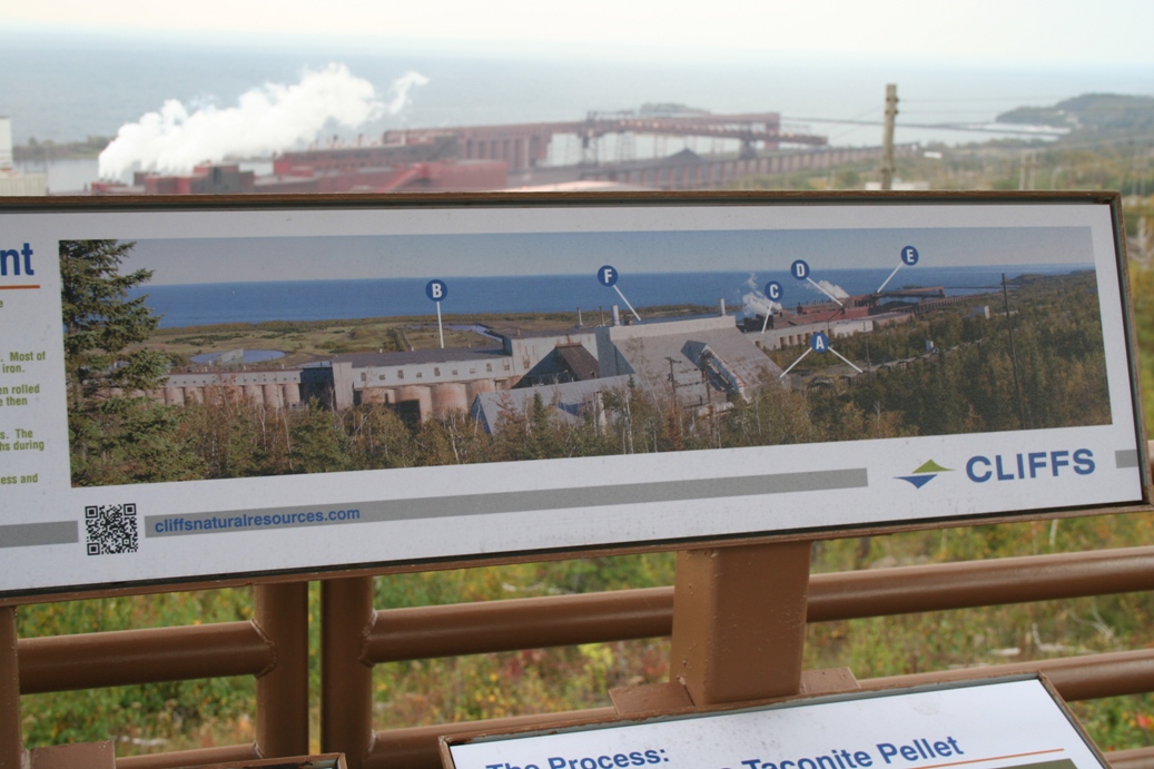
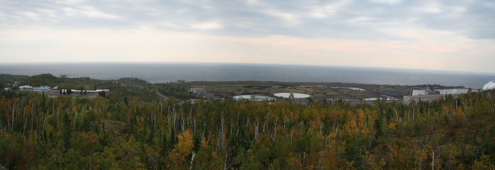
Taconite Harbor was another one of our stops along
the North Shore. This location and Sugar Loaf
Cove, just a few miles down the road, were once large
taconite and logging harbors. Taconite Harbor
was opened in the late 1950s and was in use until
2001 when a downturn in the steel industry caused
its closure. The coal generating electrical
plant, used for the harbor, is still in operation today. The two boards
in the first panel tell the story of this area.
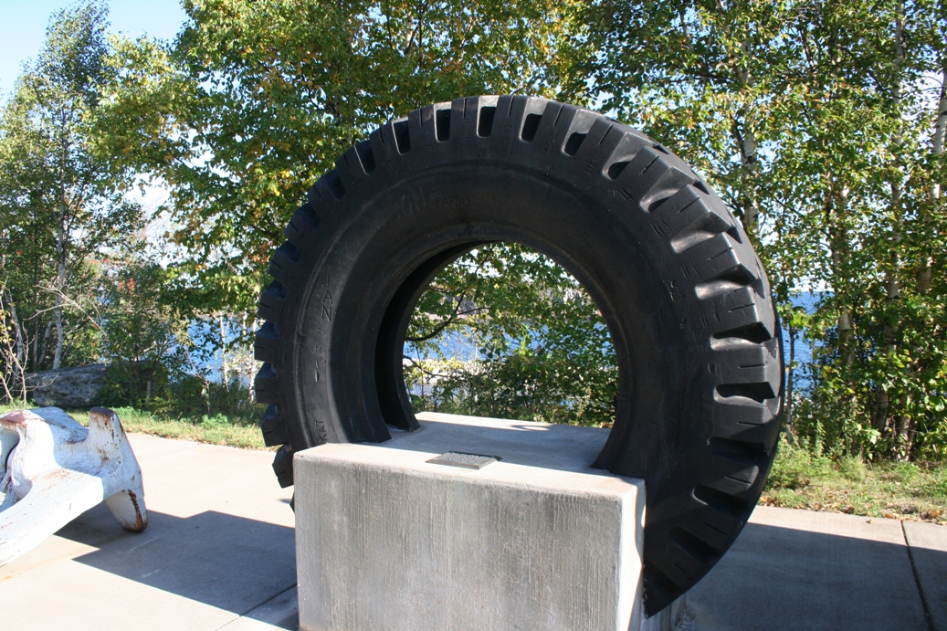
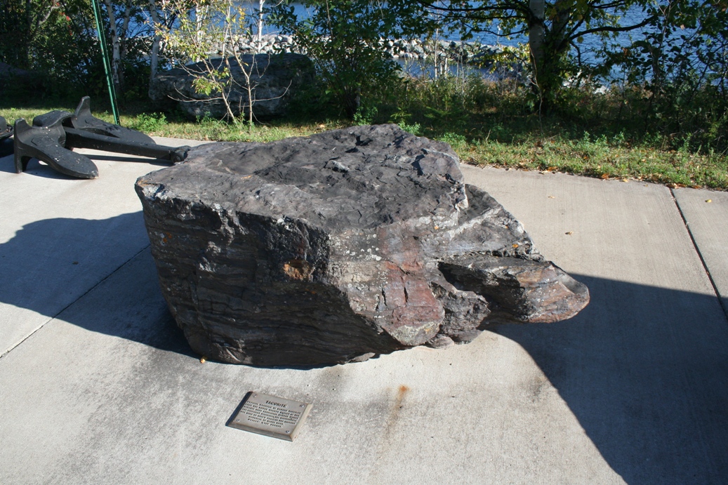
The
items in the following two photos give you an
impression of the size of some of the equipment used
here. The rock in the second photo in the
second row is a piece of raw taconite. This
was broken down through many processes and
eventually turned in to small taconite pellets.
This is a more purified steel that is still used
today.
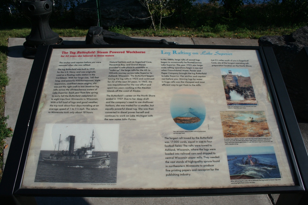
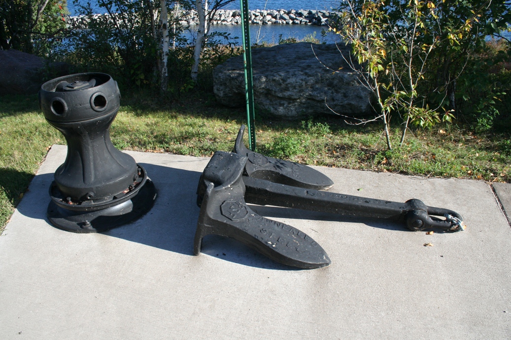
The
anchor and capstan in the next picture is from the
tug Butterfield and was removed during
one of her refits. The tug was one of the many
used to transport huge log rafts across Lake
Superior to the lumber mills. The other photos
are of the boat launch and break water that protects
the harbor. The last photo shows remnants of a
small community that once stood here to support the
workers.
|
(Click on Images for Larger Picture)
|
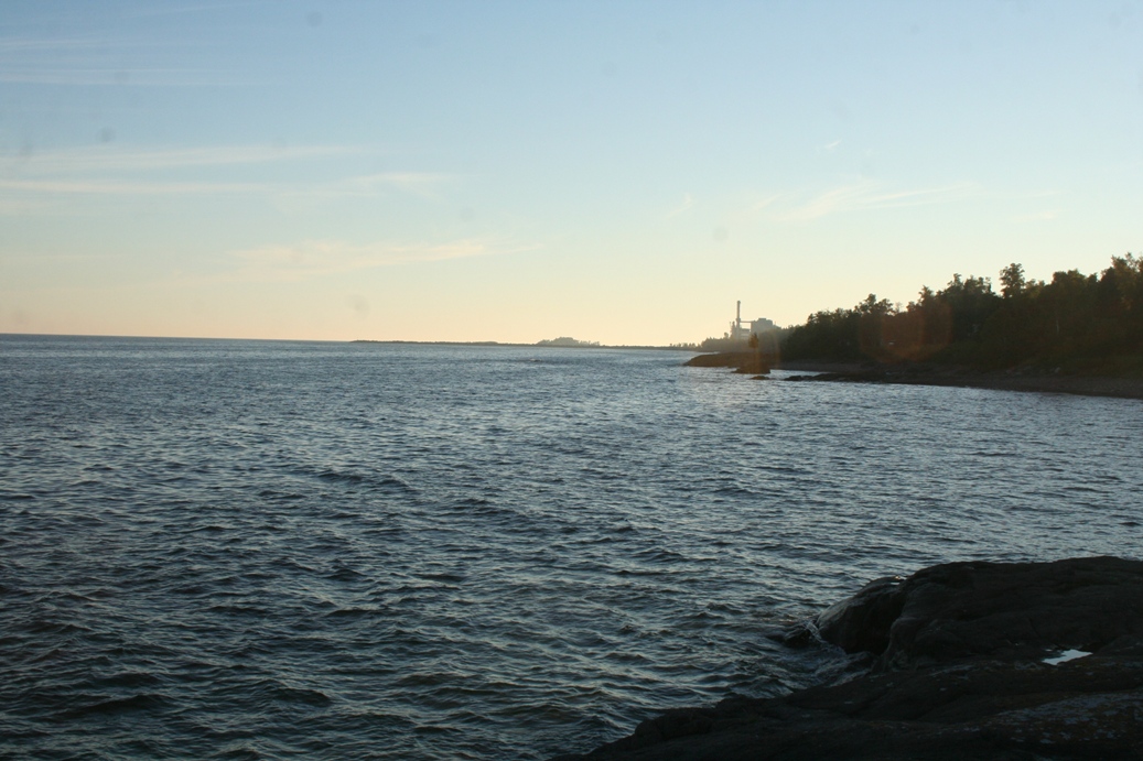
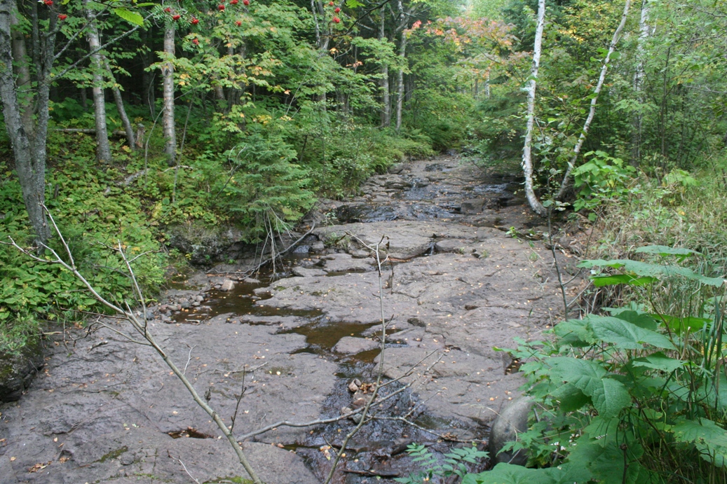
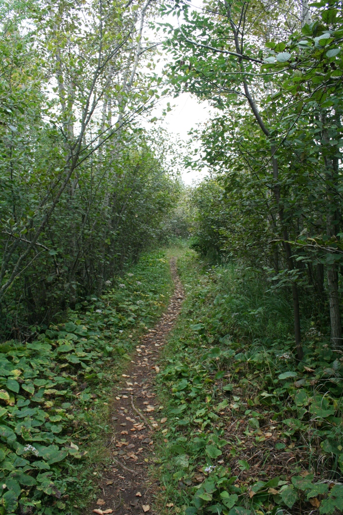
Just
a mile or so from camp was a really neat water fall
along the Cross River. We past over it many
times along our drives, but never really stopped to
take a look. If you do see this, I would
recommend taking a couple of minutes to check it
out.
|
(Click on Images for Larger Picture)
|
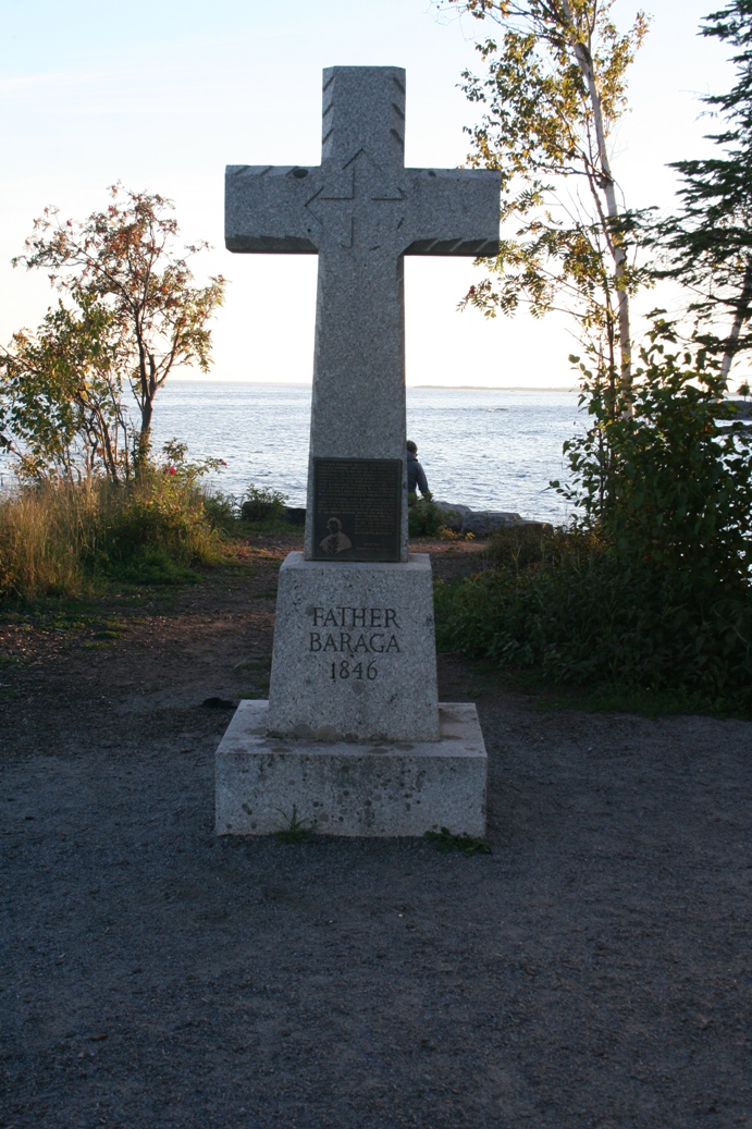
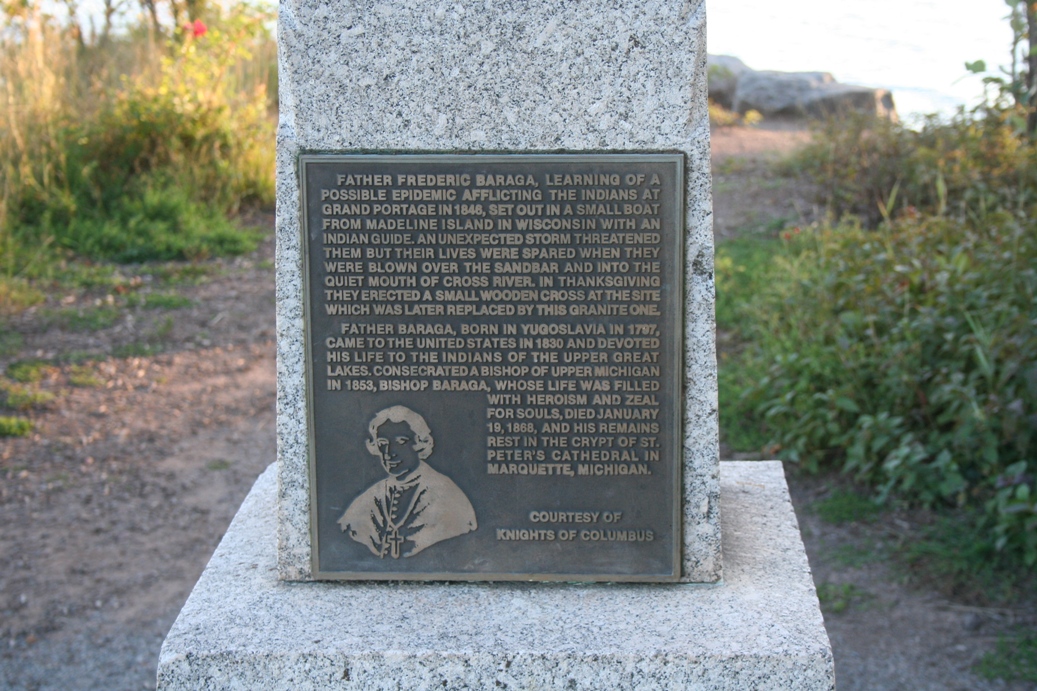
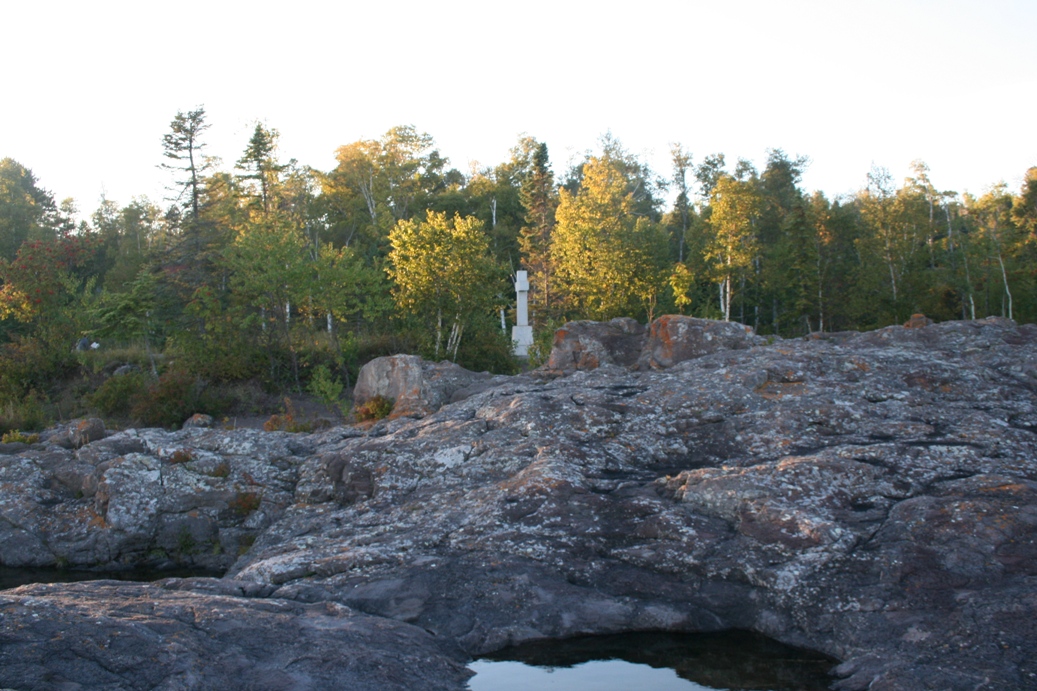
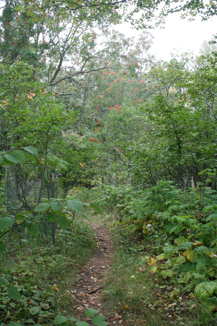
This
is the site of Father Baraga's Cross. The full
story is described in the second picture, but the
short version is that he was trying to cross Lake
Superior, in a canoe to help with an outbreak in
Grand Marais. Unfortunately, a storm developed
and he was nearly drown. He came ashore in
this location and was so thankful for reaching
safety, that he erected a wooden cross in thanks.
This is also where the Cross River gets its name.
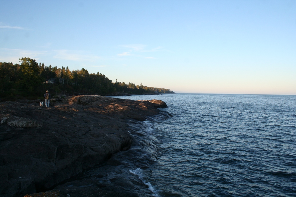
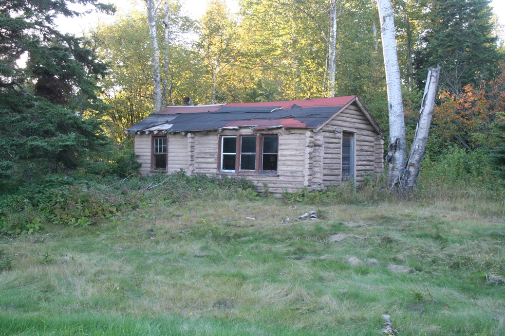
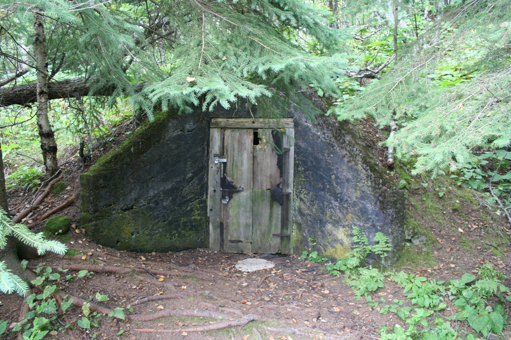
We
came across the cabin in the last picture on our
hike down to Father Baraga's Cross. It looks
like it was once part of a resort, since we saw a
few others in the area. Some have been fixed
up and some are sitting in this condition.
|
Sugar Loaf Cove
(Click on Images for Larger Picture)
|
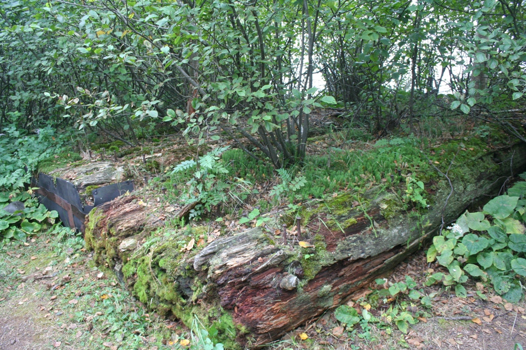
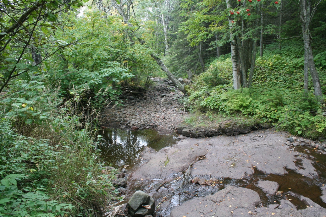
Sugar Loaf Cove is just a mile or so down the road
from Taconite Harbor. It is a nice self guided
tour of the old lumber facility. The third
picture in the first row are of logs that used to
form a flume they used to get the logs into the
harbor. The first picture in the third row is
an old underground storage facility that is still in
use today. The picture next to that is what
remains of a log raft used by the workers to stand
on while assembling the larger log rafts that were
towed across the lake.
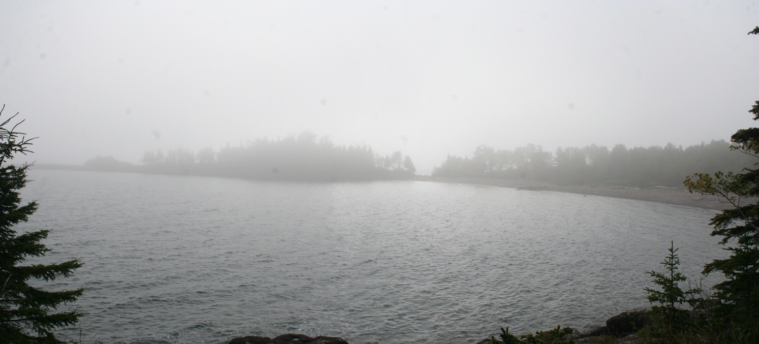
The
pictures in the second row were not taken too far
apart. The day of this hike started to be a
very nice warm and sunny fall day. While we
were on our hike, the fog quickly rolled in and
closed in around us. It was impressive to see
this happen.
|
(Click on Images for Larger Picture)
|
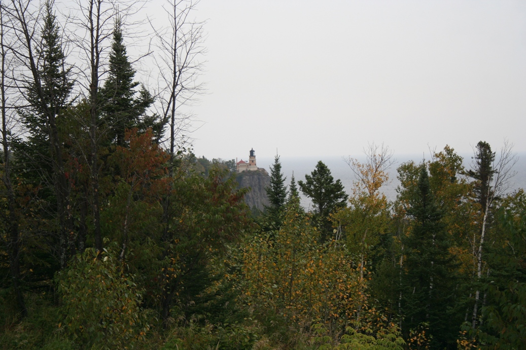
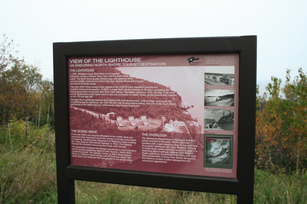
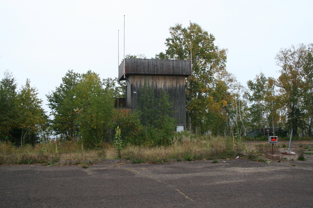
The
view of Split Rock Lighthouse from the overlook
along Highway 61. I was hoping for a bit
sunnier day to get a clearer picture, but that was
not to be. We also discovered an old overlook
tower still standing by the old Highway 61 route.
|
Grand Portage
(Click on Images for Larger Picture)
|
|
|
|

|
|
|
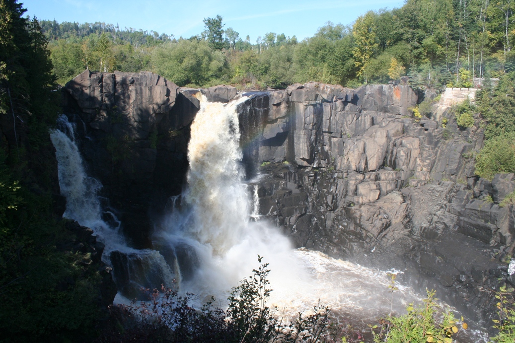
Once again we made it up the North Shore to the
Canadian border, and we decided to stop and explore
Grand Portage State Park a bit this time. It
was a nice little hike out to the falls and the
colors were just starting to change. The falls
in the picture is the high falls in Minnesota, and
ironically enough, they do not know how high that
really is. They have yet to get an accurate
measurement. It was pretty neat to see the
rainbow being formed by the falls in the forth row
of pictures. Also, if you look closely, in the
lower right hand corner of the first picture in row
five, you can see broken lumber. The falls was
to rough to try and float lumber down the river, so
they bypassed them with a log flume. You can
see remains of that in the left side of the first
picture in row four. The lumber at the bottom
of the falls were logs that got away from the
loggers and were smashed down at the bottom.
The lumber mill has been closed for some time, and
it is interesting that the broken logs are still
there.
|
(Click on Images for Larger Picture)
|
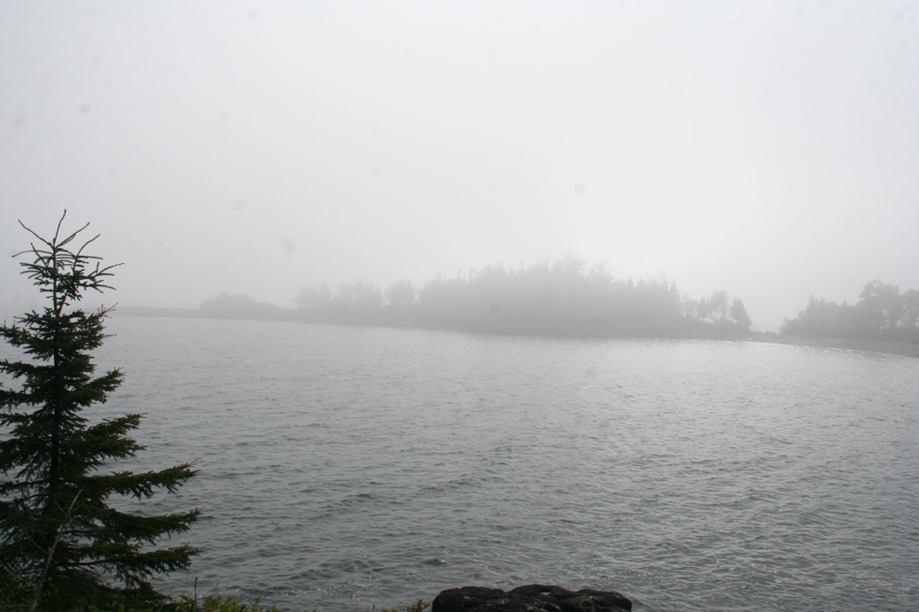
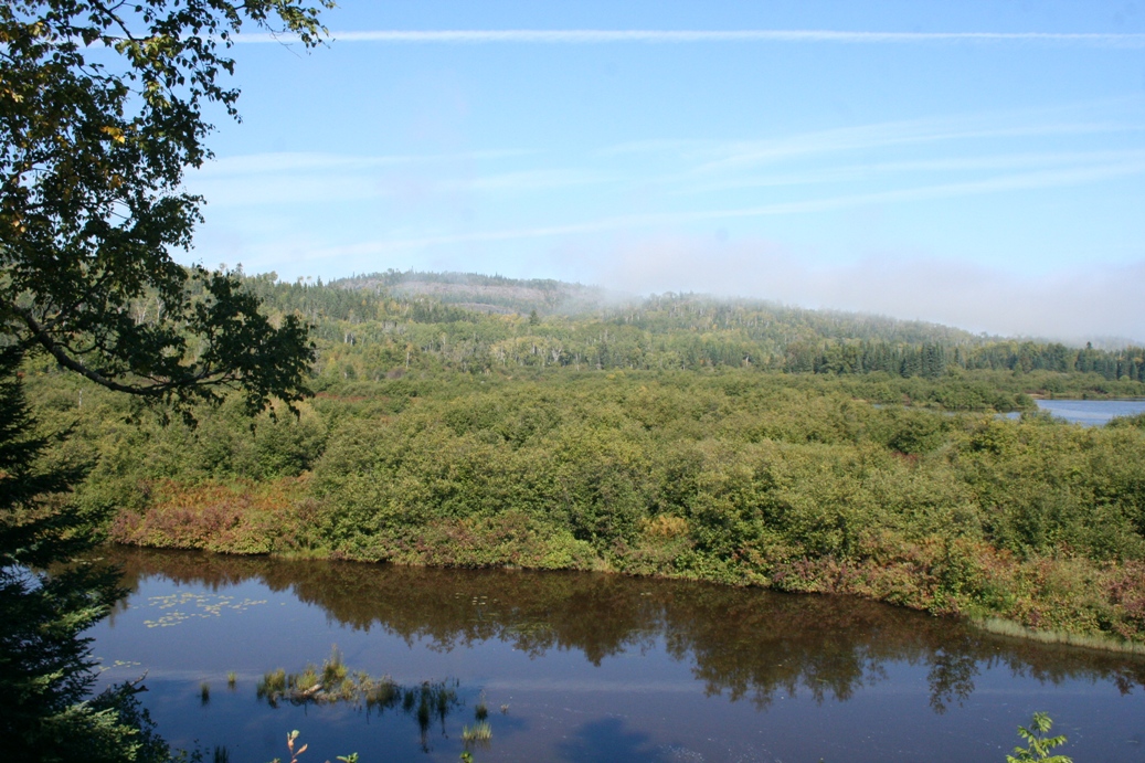
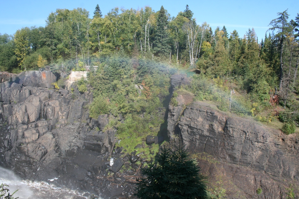
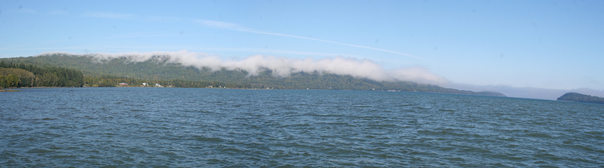
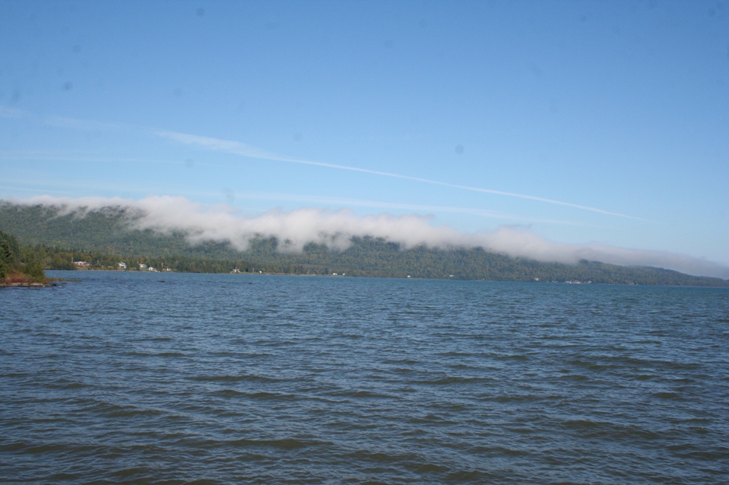
The
photos above are from an overlook just south of
Grand Portage State Park. The fog made it a
great photo op the way it was rolling in over the
hills.
|
(Click on Images for Larger Picture)
|
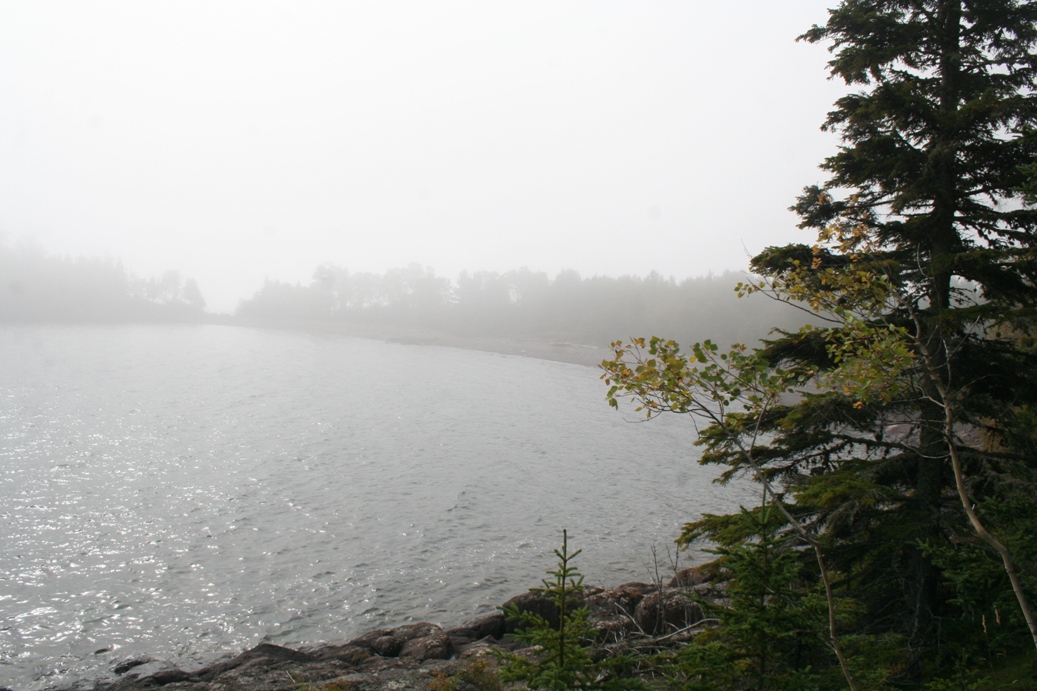
This
series of photos comes from the Grand Portage
National Monument. This trip, we did not tour
the facility. Instead, we walked out on the
dock, took some good photos of the fog, and read
some of the plaques along the dock. If you
want to see more detailed photos of this monument,
please see the photos in the 2010 photo album, Grand
Portage Trading Post.
|
Duluth, Minnesota
(Click on Images for Larger Picture)
|
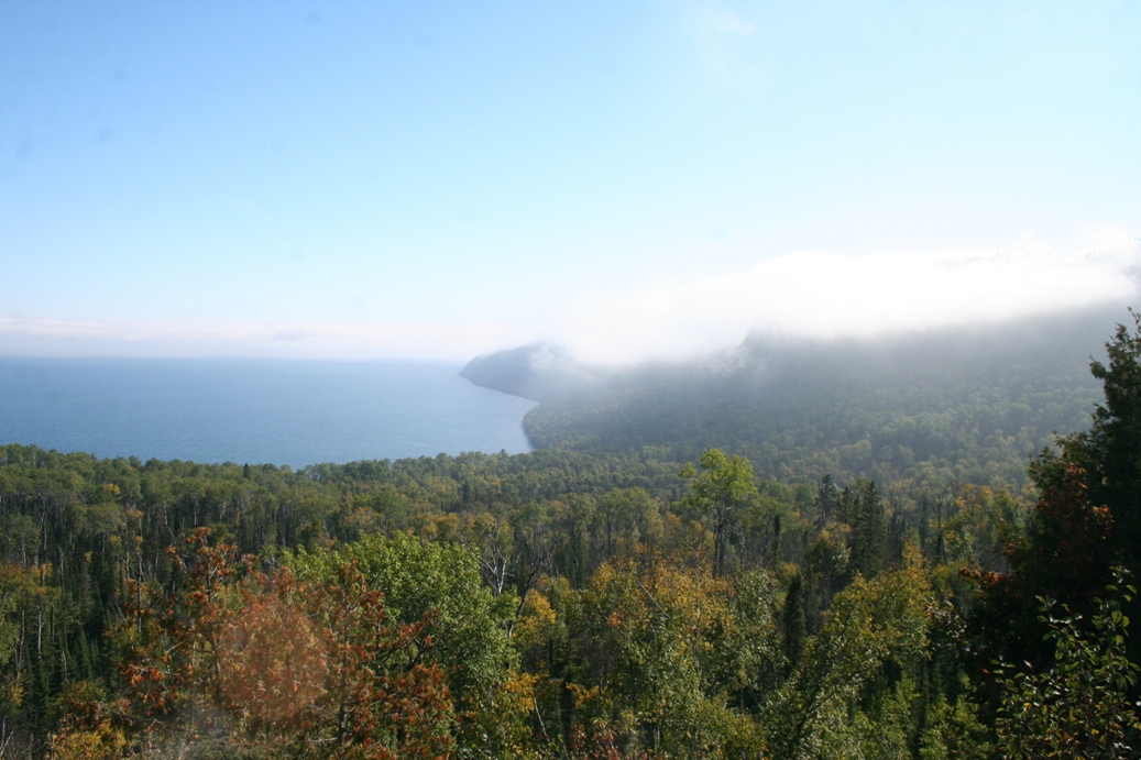
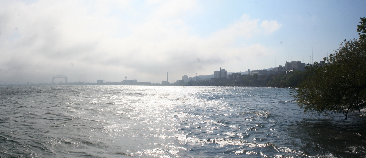
We
took a quick trip through Duluth, Minnesota this
year. I was a bit windy, chilly, and the fog
rolled in again on us. It was still a very
pleasant day overall. We took a stroll along
the Lake walk and drove out to the end of the
island. Duluth is definitely a nice place to
visit and we are contemplating a winter hotel trip
here some time soon.
|
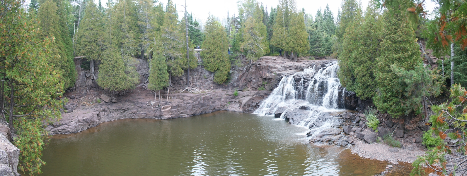
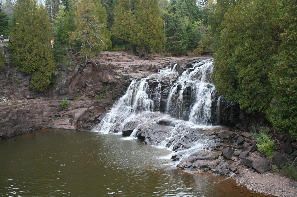
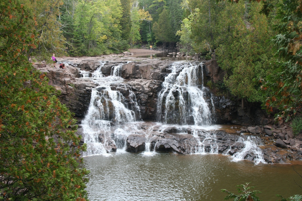
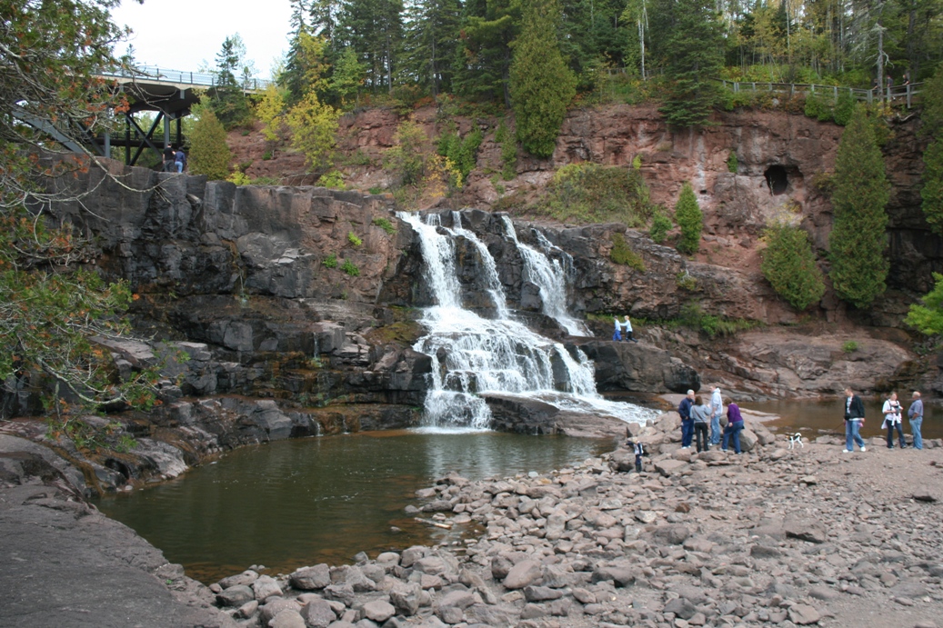
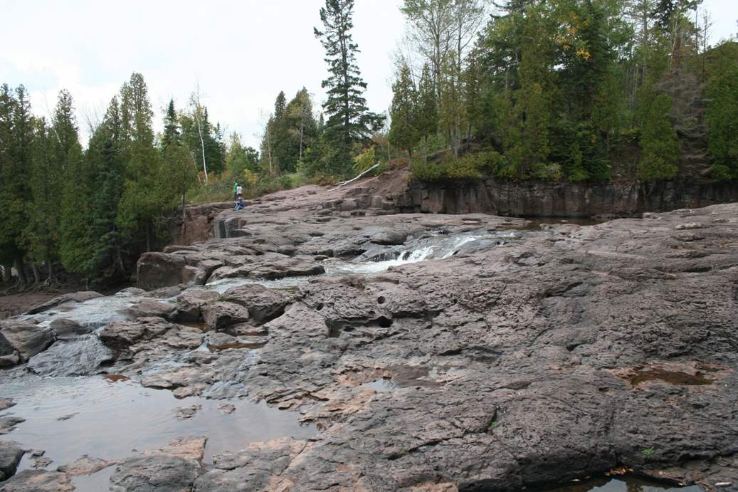
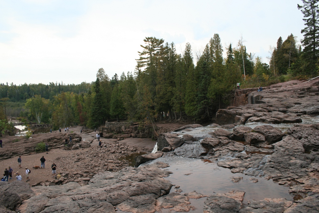
Gooseberry Falls
(Click on Images for Larger Picture)
|
Another fun stop along the North Shore is Gooseberry
Falls State Park. We were hoping that the
falls might be a bit bigger this year, especially
since we did have quite a bit of rain back home
earlier in the season, but northern Minnesota was
not so lucky this year. Plus, I forgot despite
any rainfall in the early season, fall is always a
bit dry. One nice thing about the falls being
on the low side, you get a chance to get out and
climb around the rocks a bit more.
|
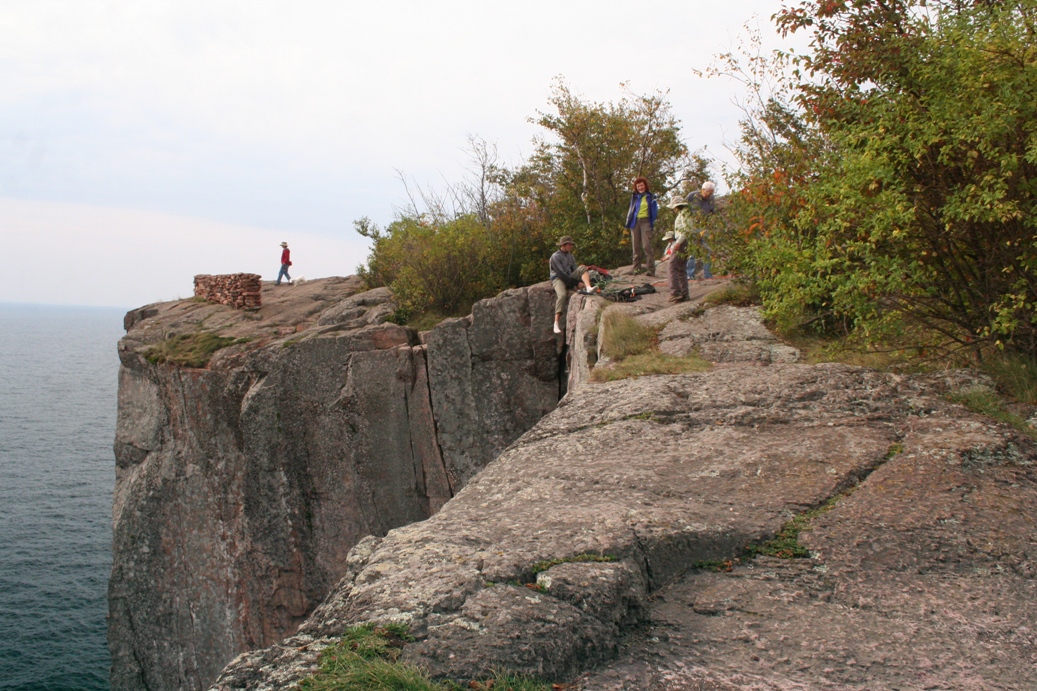
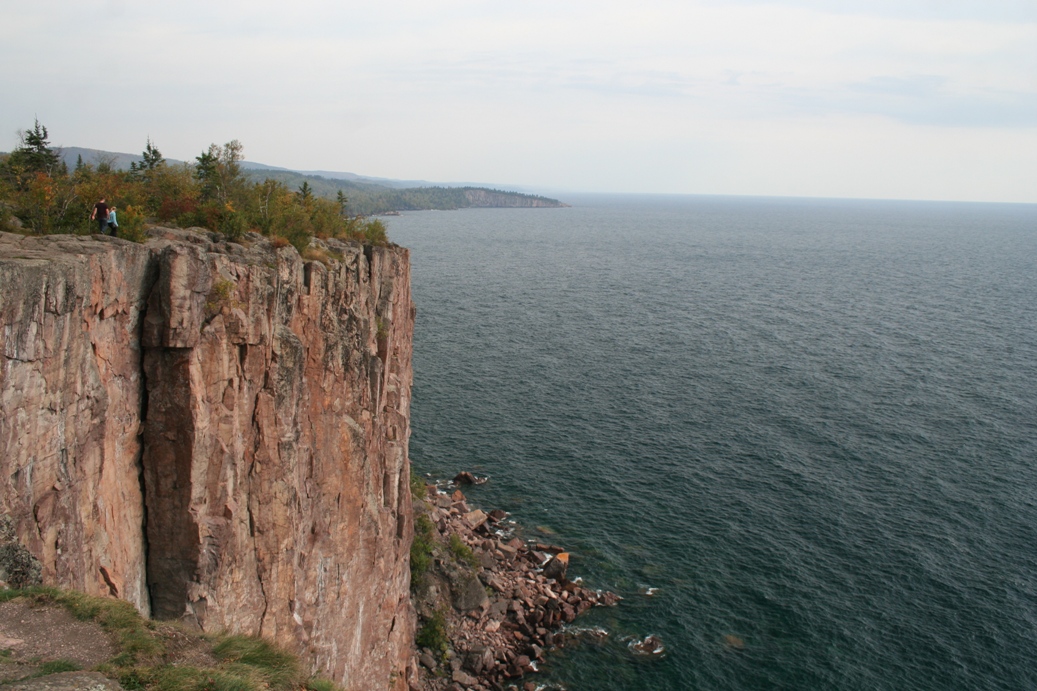
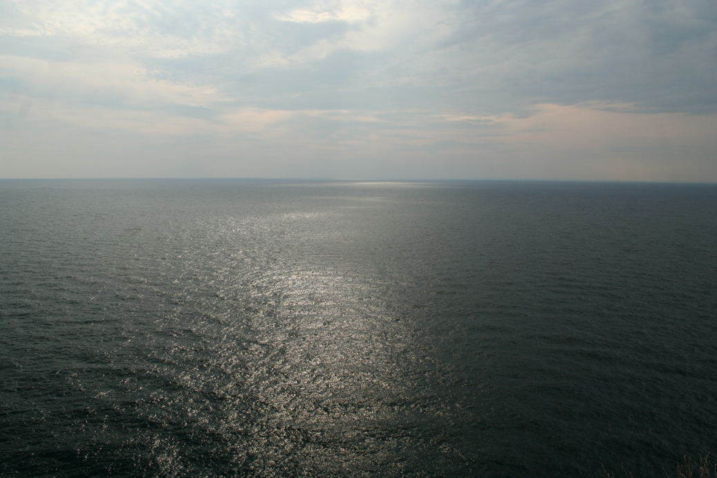
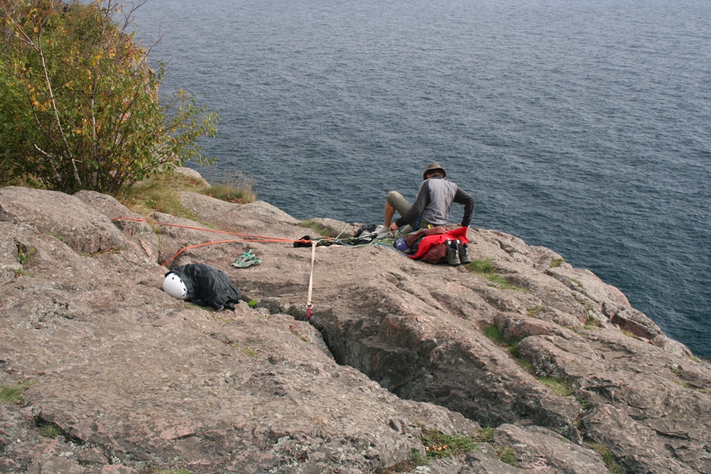
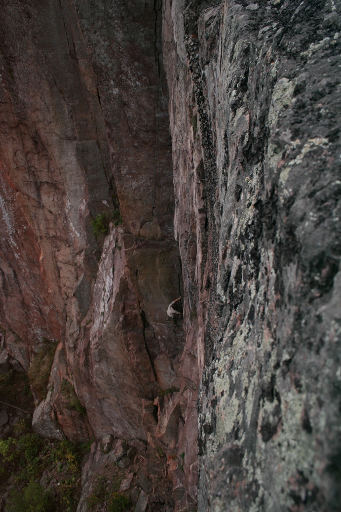
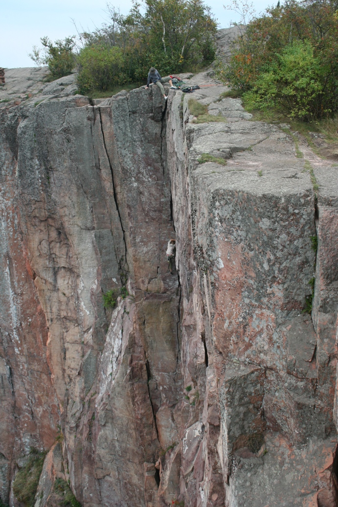
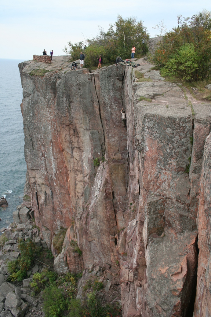
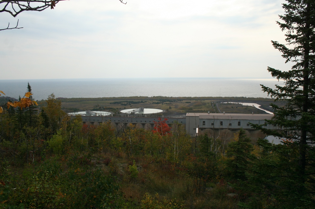
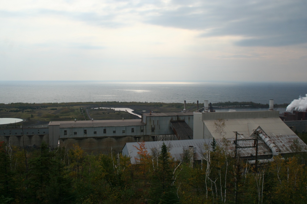
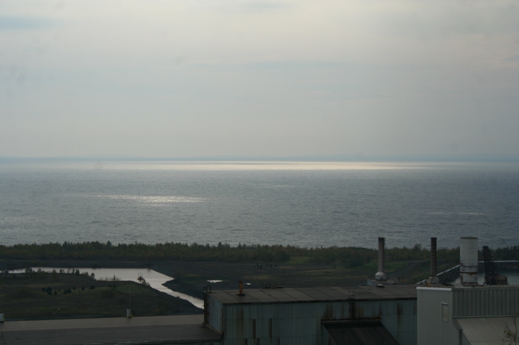
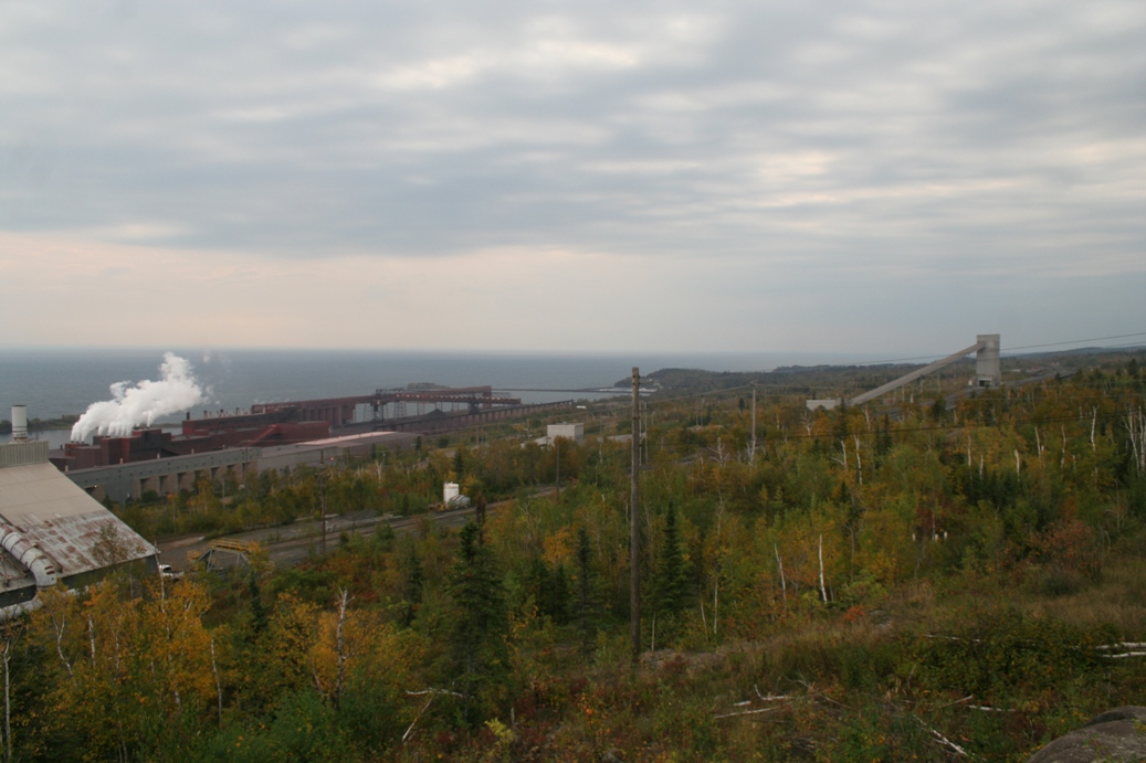
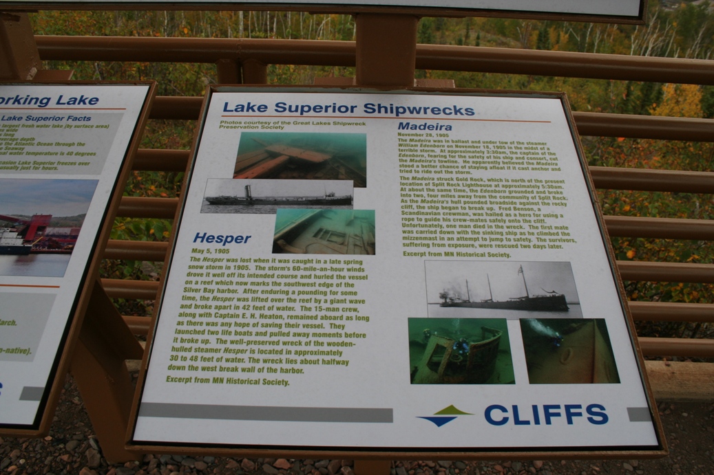
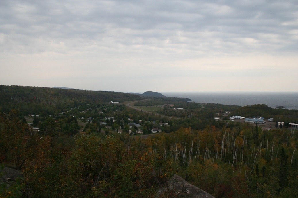
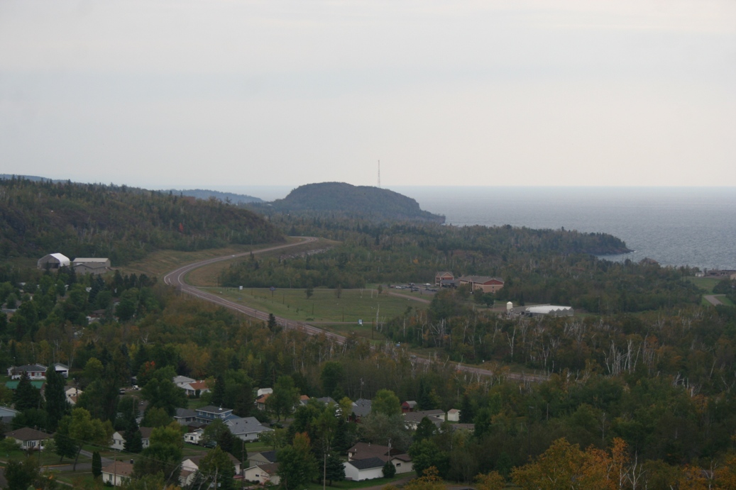
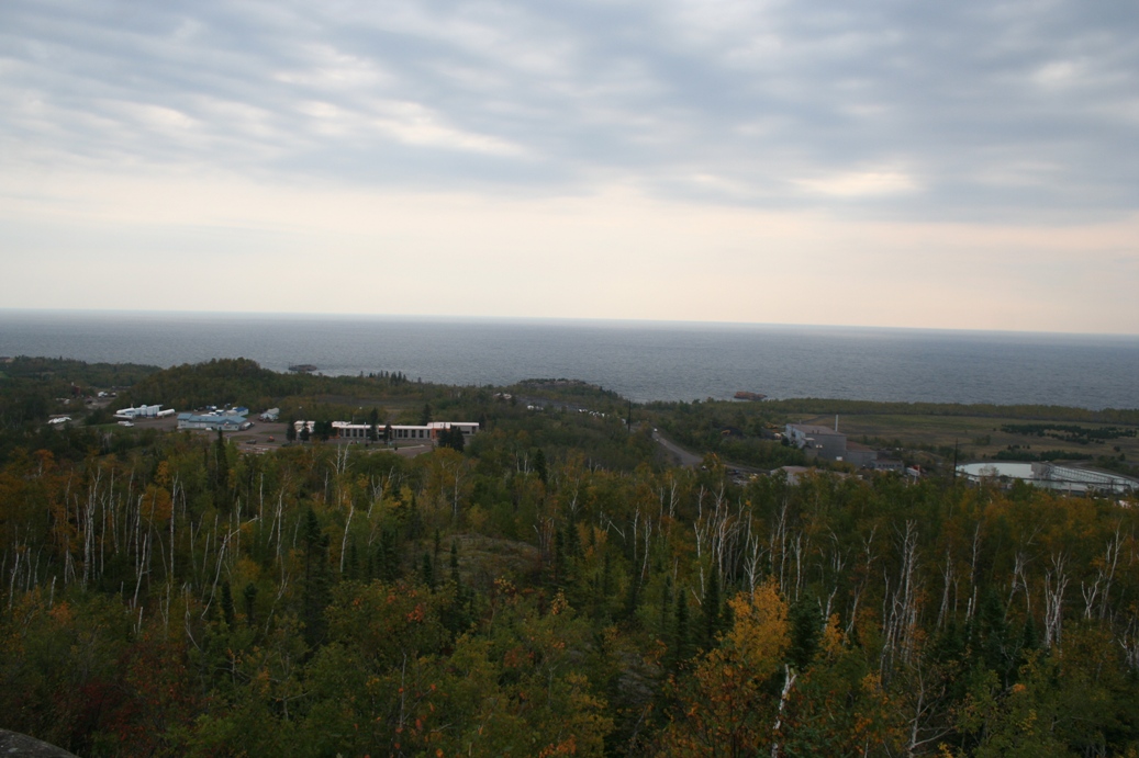
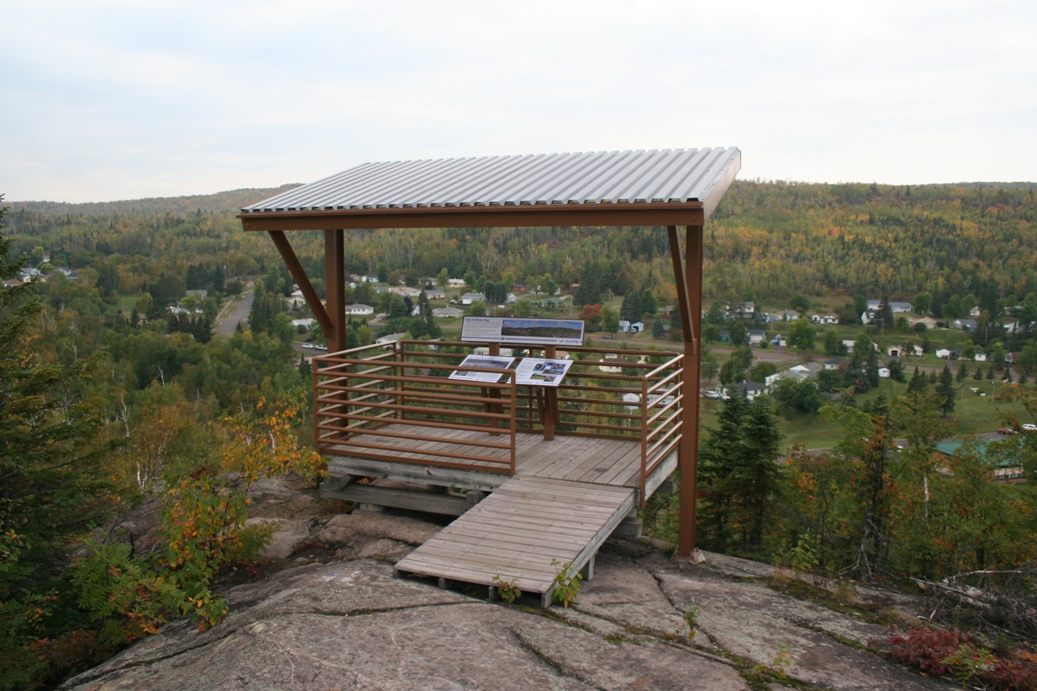
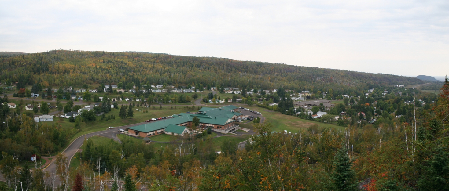
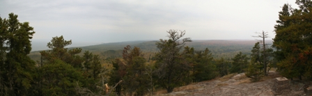
Palisade Head and Silver Bay
(Click on Images for Larger Picture)
|
Palisade Head is located just north of Silver Bay,
Minnesota. As you can see in the photos that
it is a great spot for climbers. Not to
mention that the view is really good as well.
|
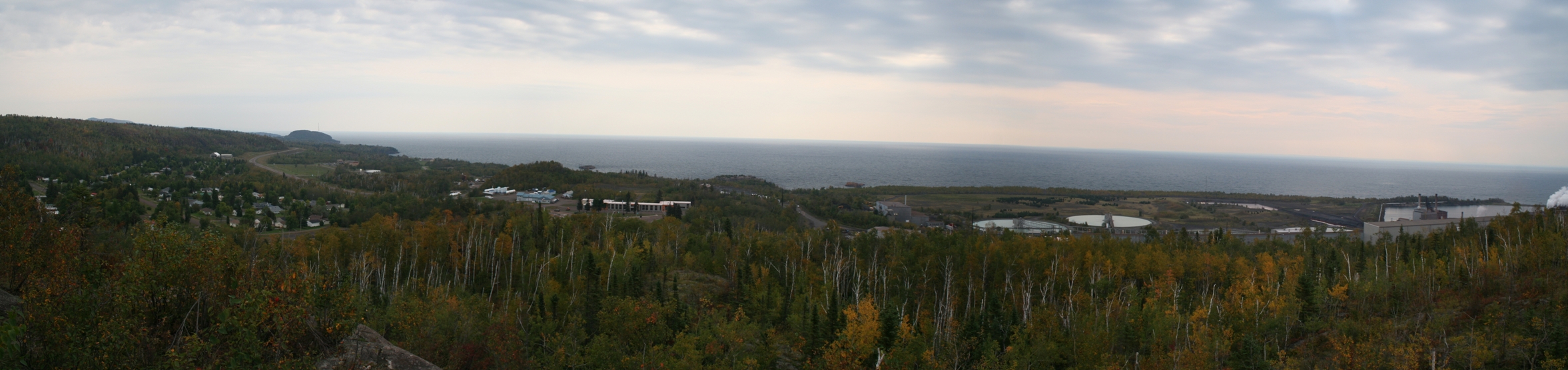
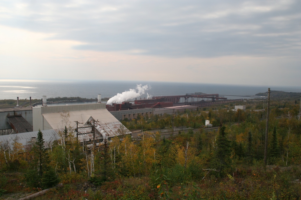
(Click on Images for Larger Picture)
|
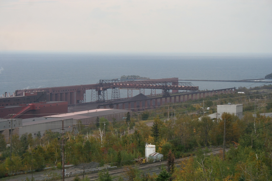
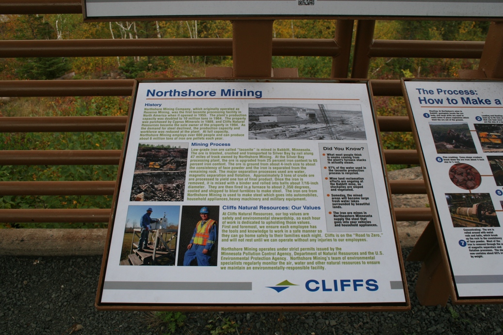
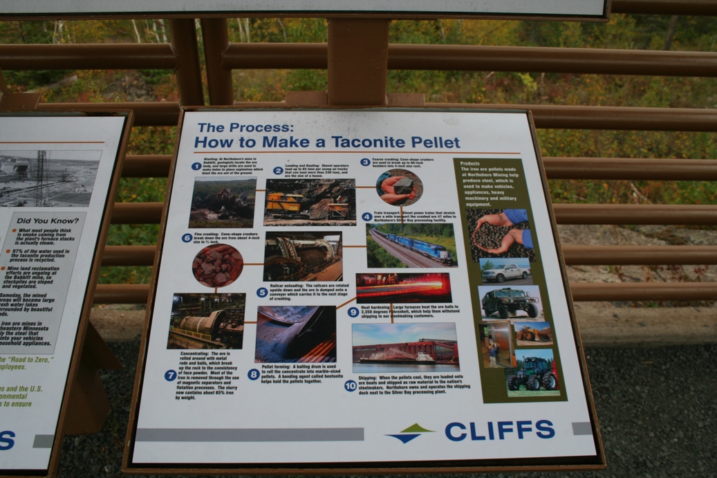
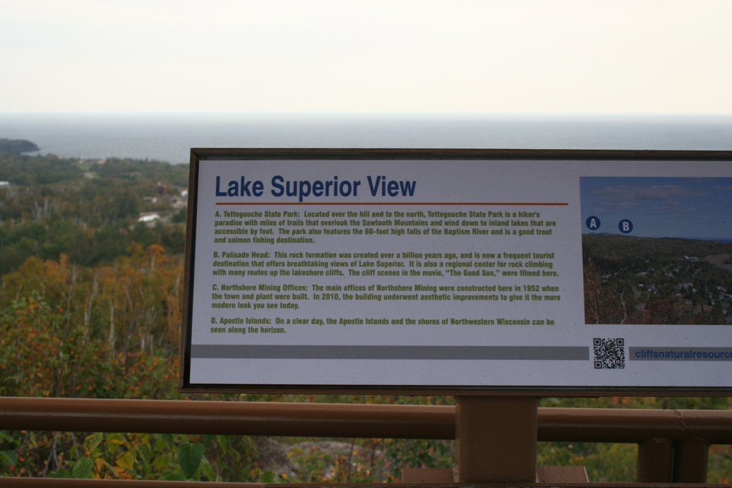
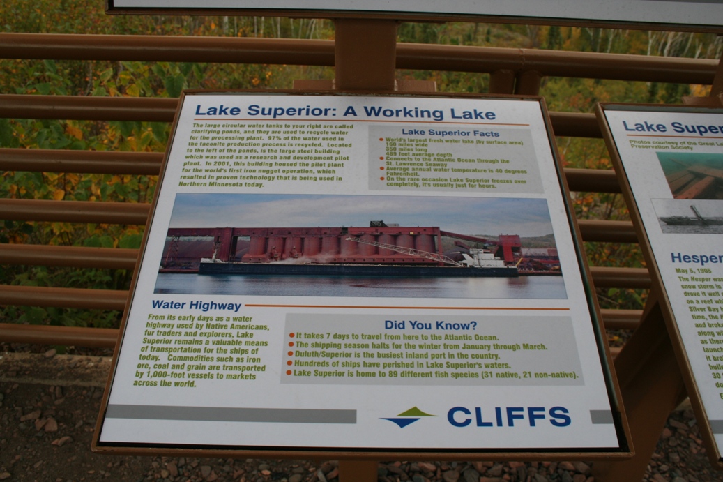
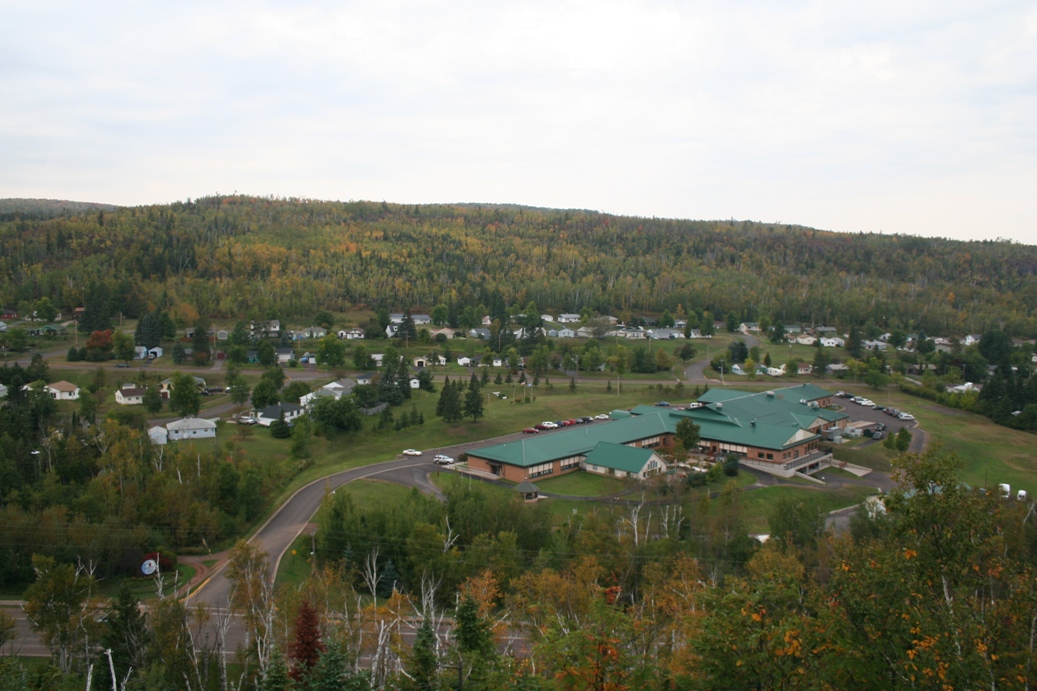
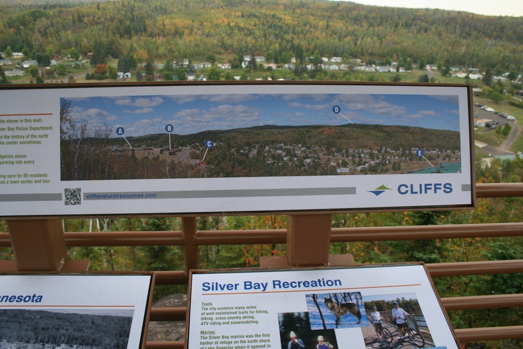
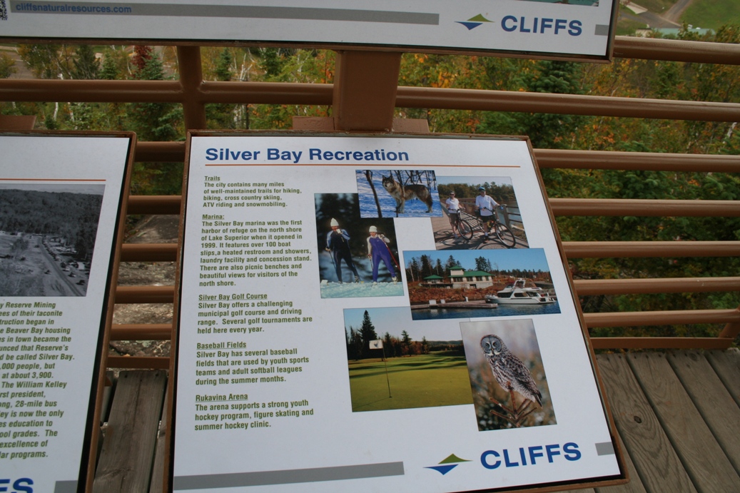
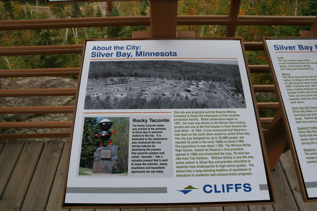
The
overlook at Silver Bay is a nice stop along the
North Shore. From here, you can see the
massive taconite plant long the highway, you can see
up to Palisade Head, and most of Silver Bay itself.
Not to mention that it is a nice hike around the top
of the hill. If you would like to learn a
little more about this area, please read the
placards in the photos above.
|
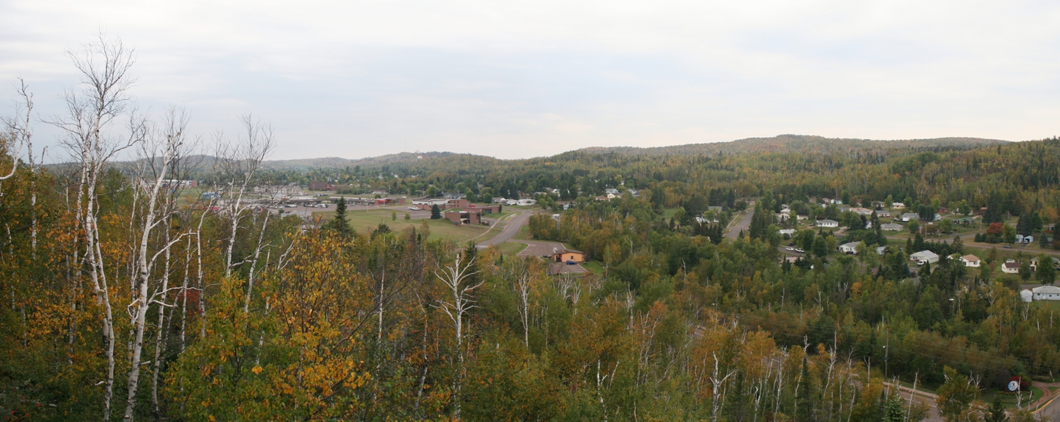
Carlton Peak
(Click on Images for Larger Picture)
|
|
|
|
|
|
|
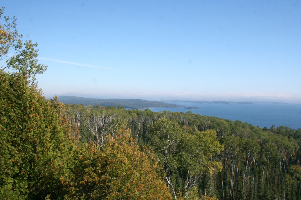
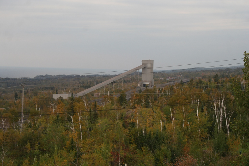
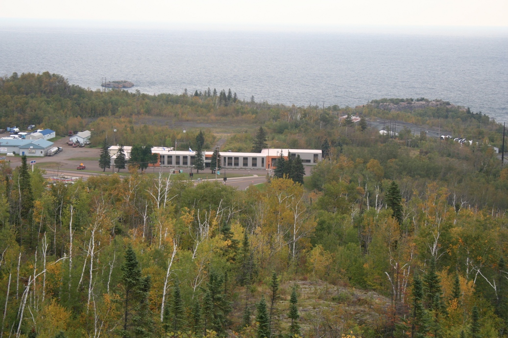
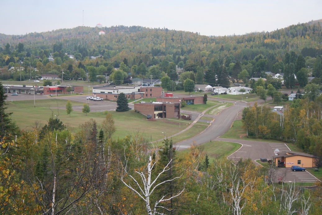
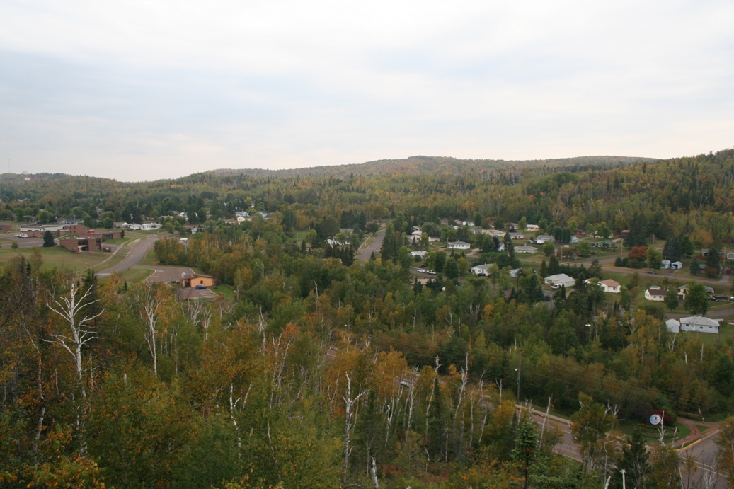
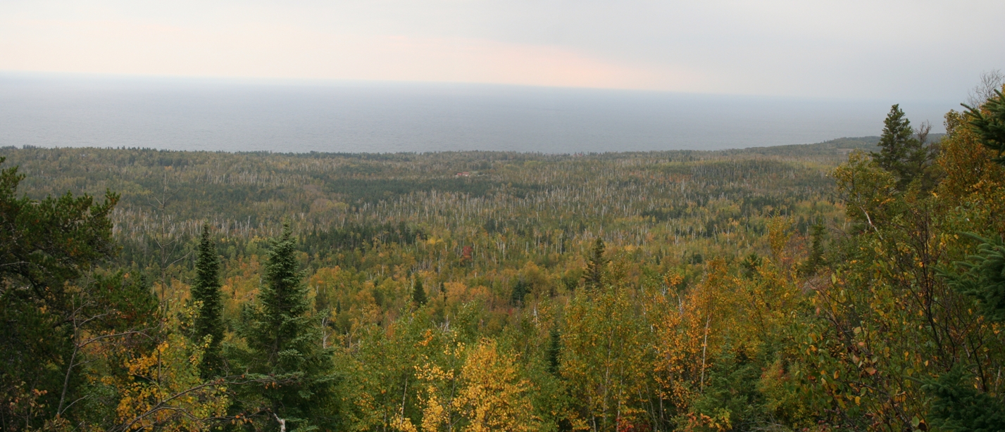
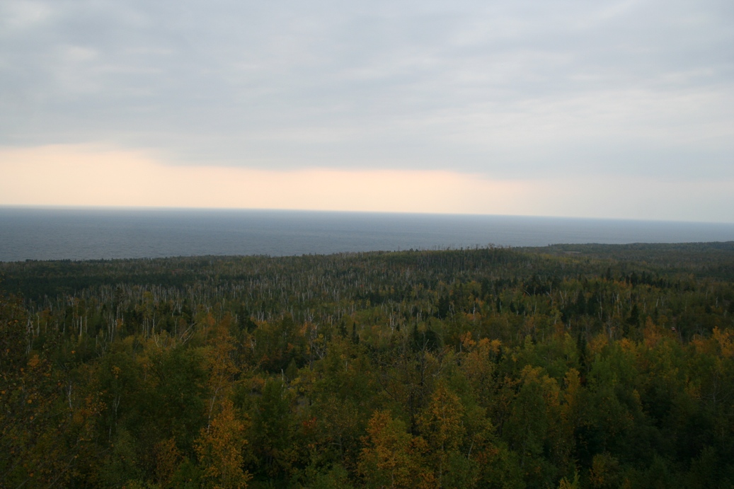
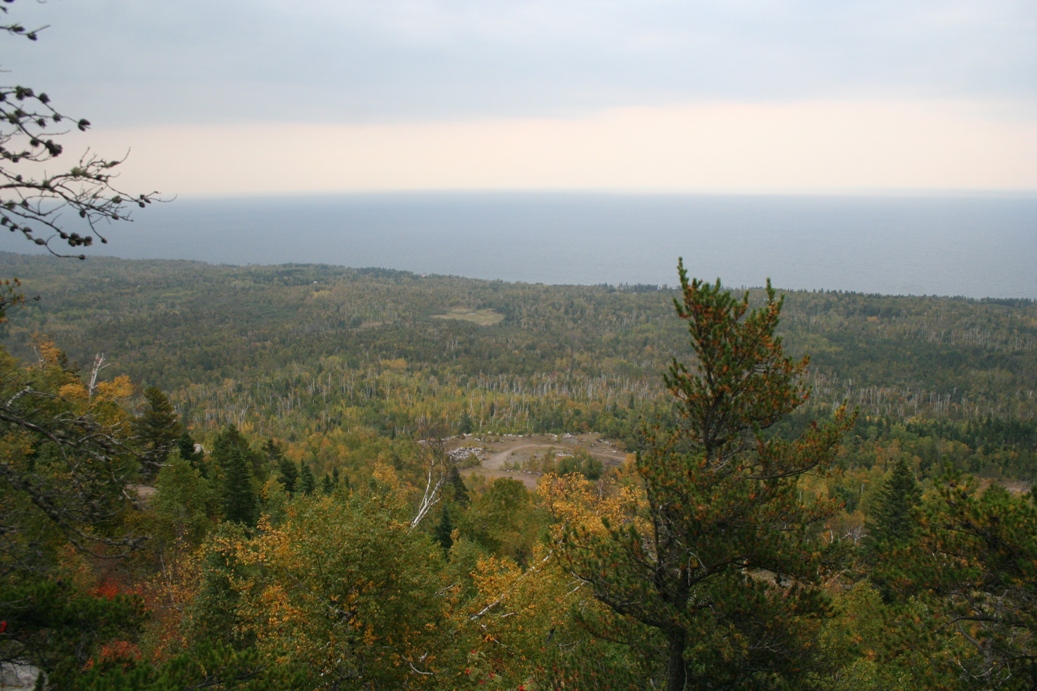
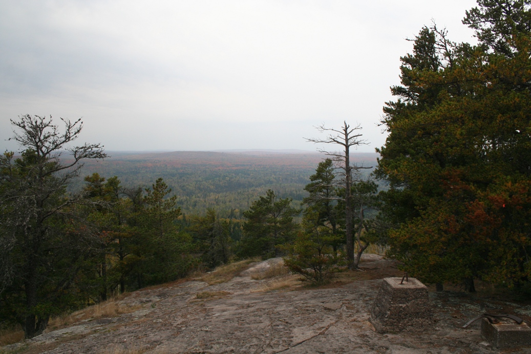
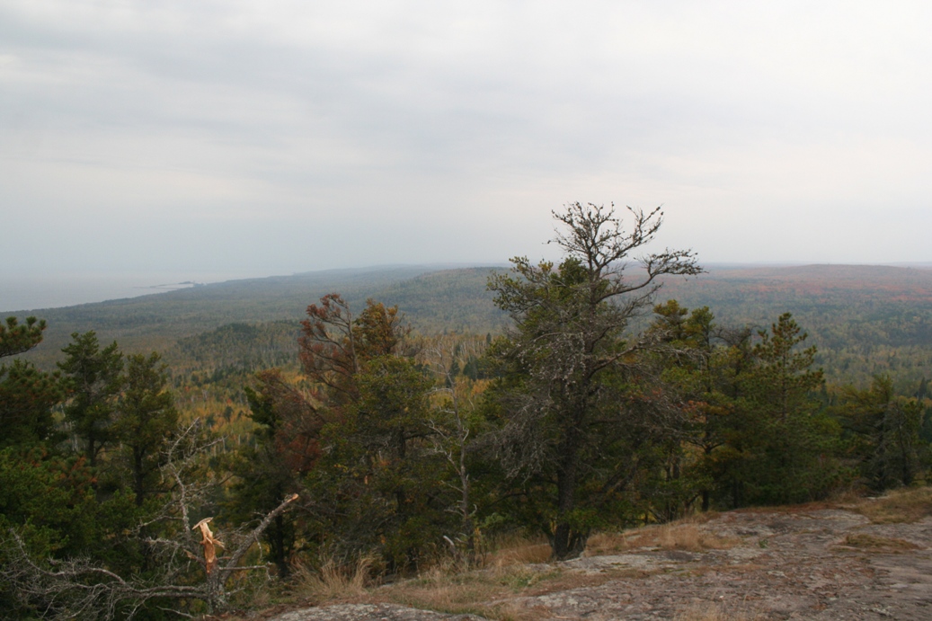
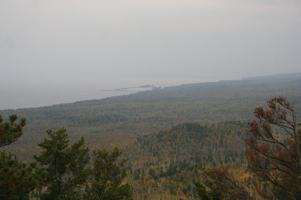
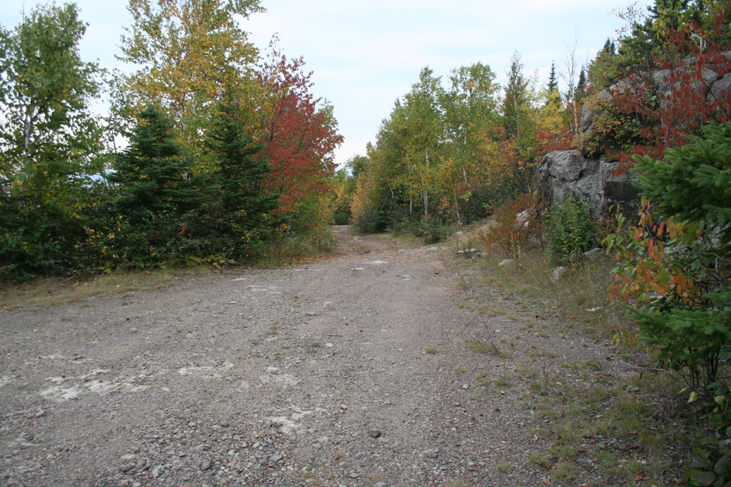
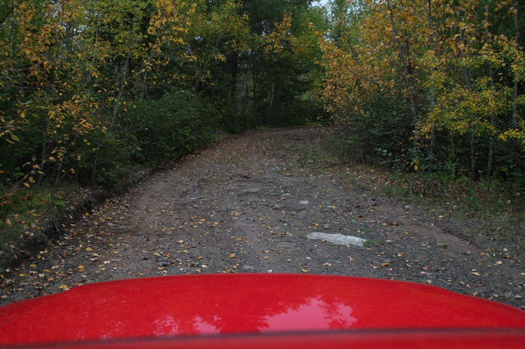
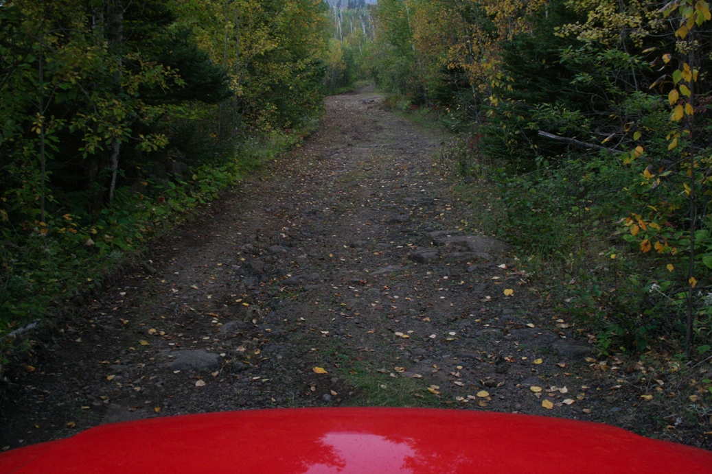
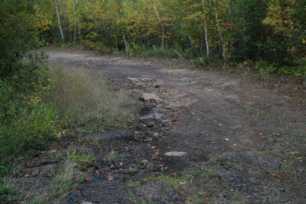
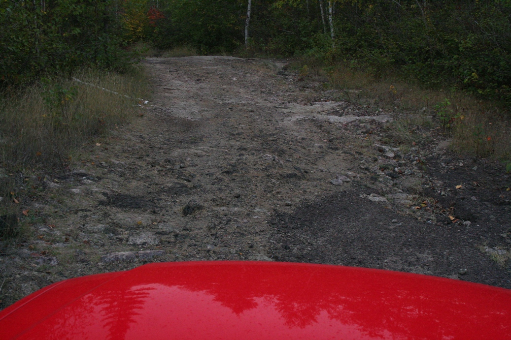
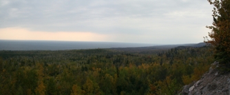
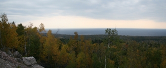
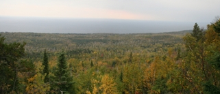
Carlton Peak is a nice overlook of the entire area
around Temperance River State Park. To
illustrate how large, the second picture in the
forth row is taconite harbor. That is about
three to file miles south of the campground.
As for the Peak, it is about a three mile
hike from camp to the northwest. We were planning on hiking it, but the
weather did not cooperate as much as we would have
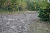
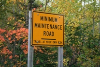
liked. Instead, we decided to take the "road"
to the top and save some time. Little did we
know that the term road was being used loosely.
We followed the road until we came to a fork.
One way was really well maintained and the other
seemed a bit rough. We followed the maintained
road and found an old gravel quarry. So we
turned around and took the other way. About
half way up we found the sign in the last picture.
Just around the corner from there was sign welcoming
us to Carlton Peak. The only vehicles we saw
were either four wheel drive, or all wheel drive
vehicles. A regular car would have had
difficulty, if it could have made it at all.
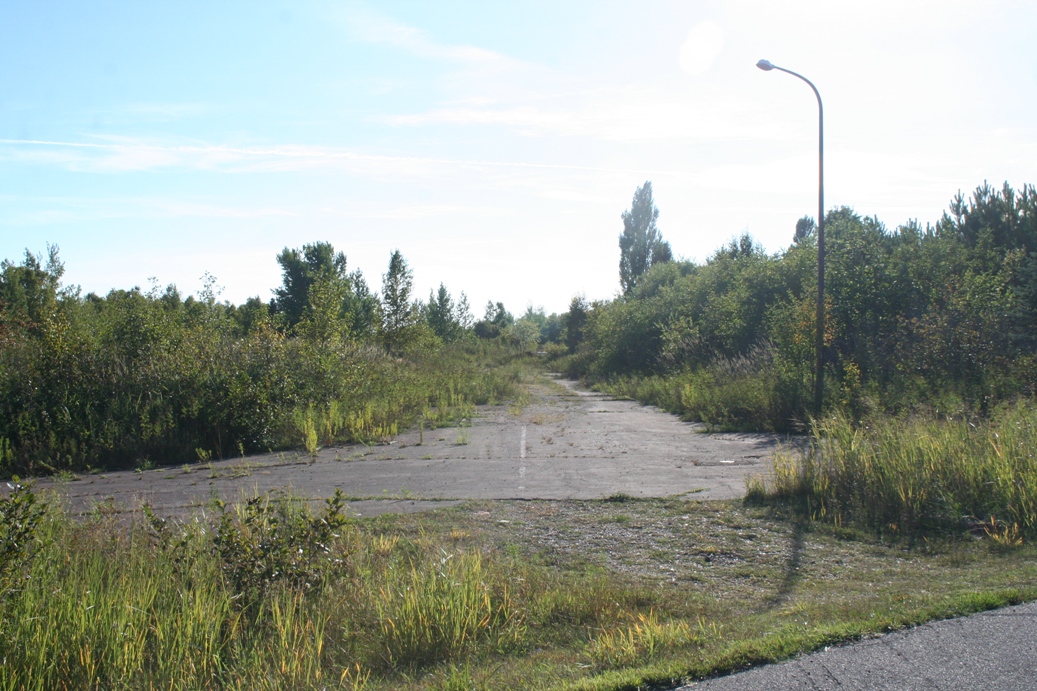
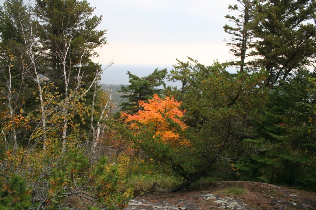
But,
as you can see by the first few photos, the drive
and short hike was well worth it. The fall
colors were starting to show, but unfortunately, we
had rain moving it, so they were not as vibrant as I
was hoping for.
|
|