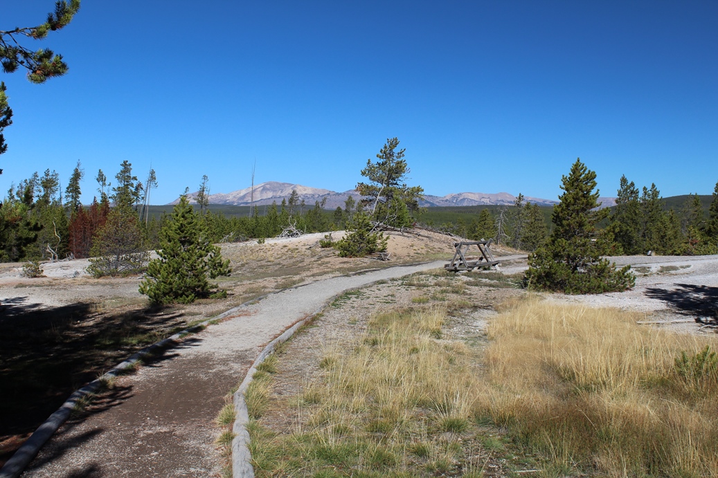
Yellowstone National Park 2014
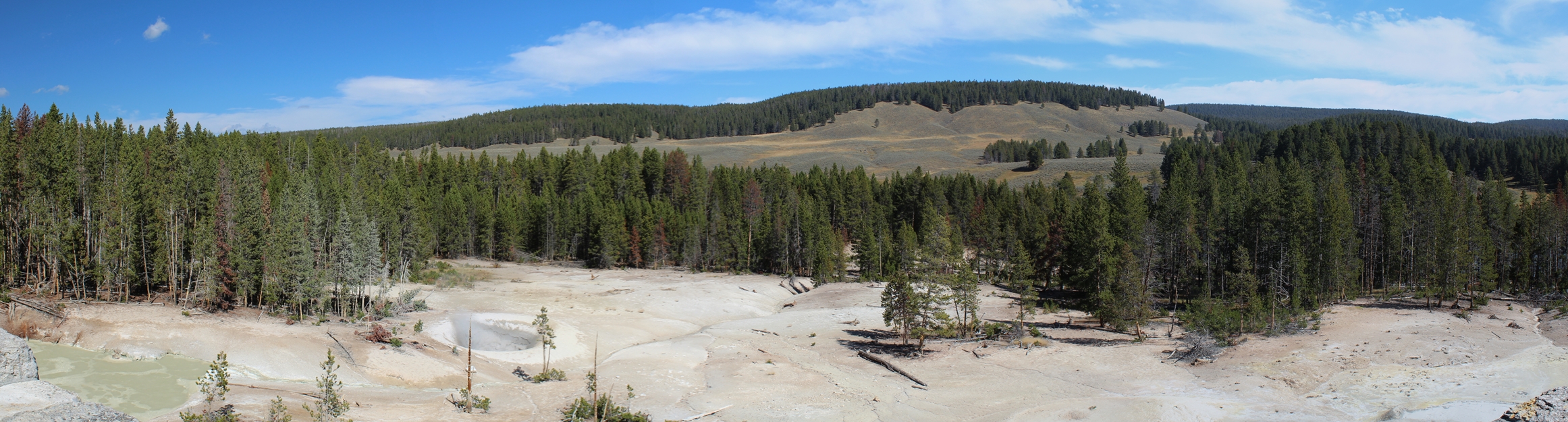
Drive Through Rocky Mountains
(Click on Images for Larger Picture)
|
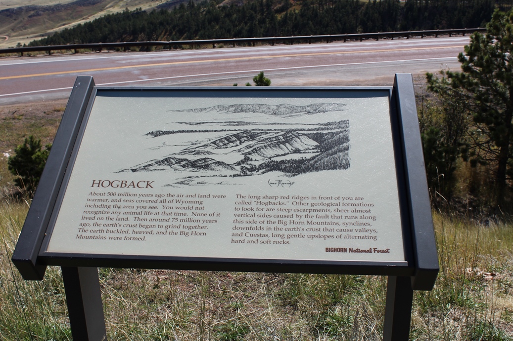
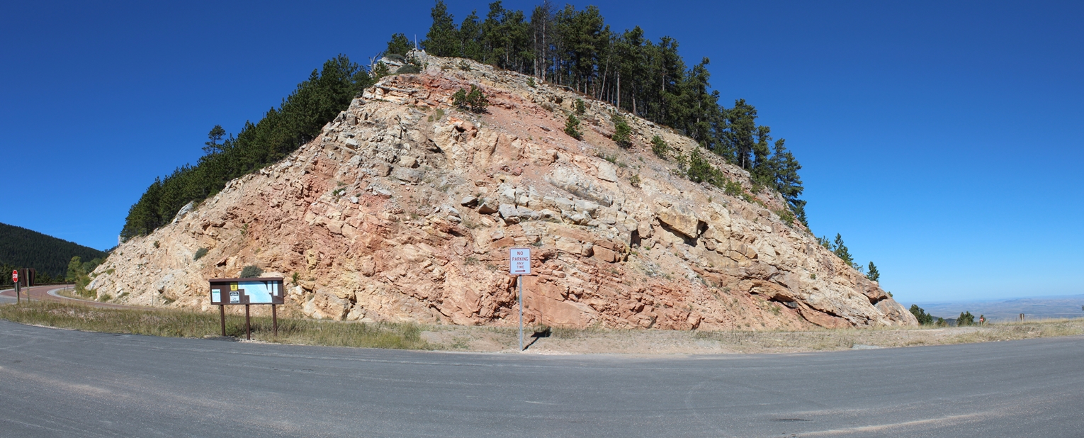
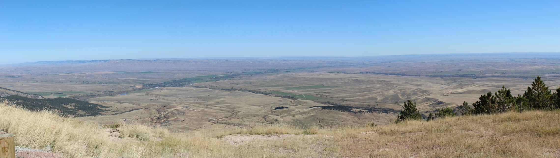
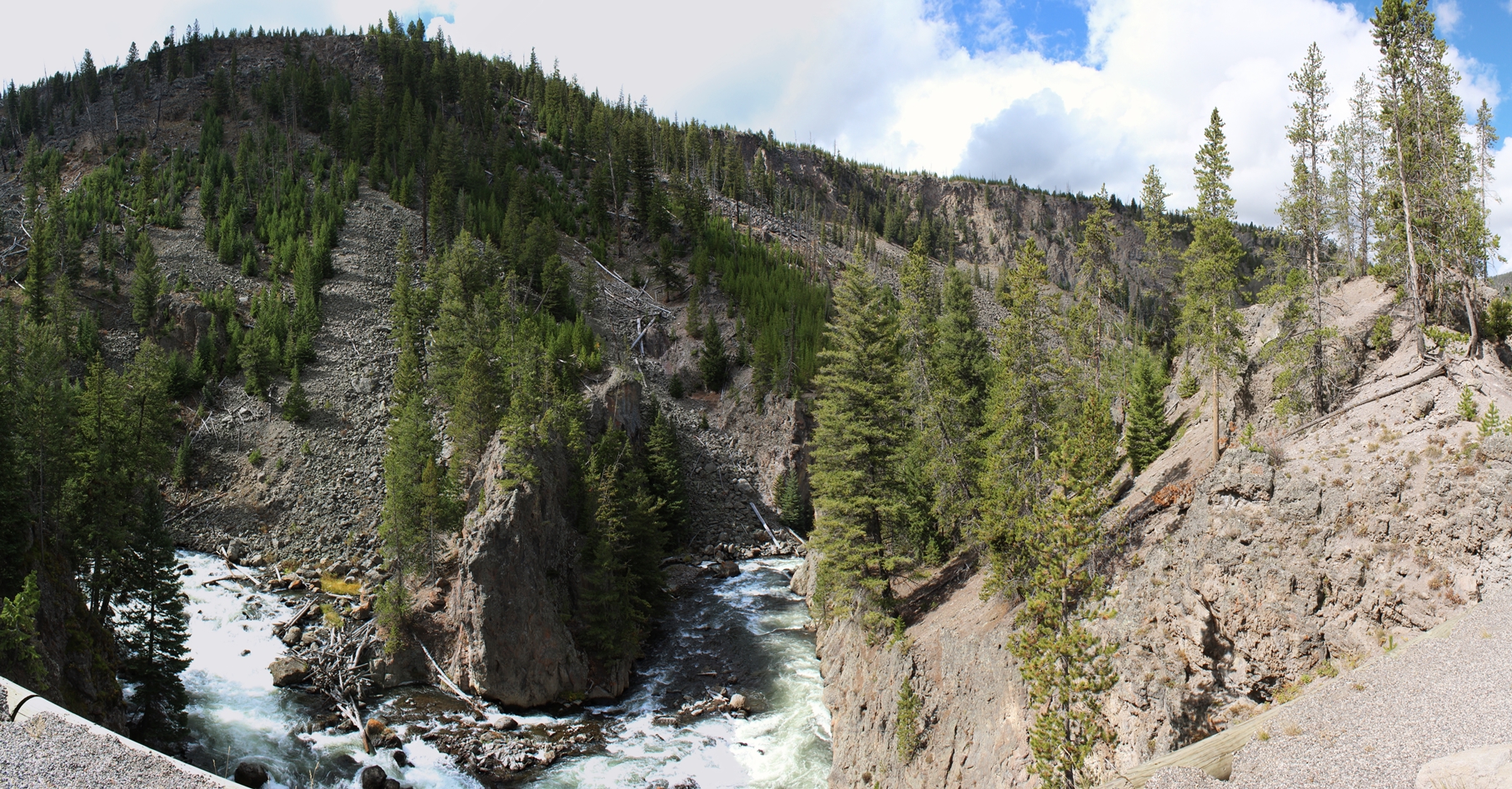
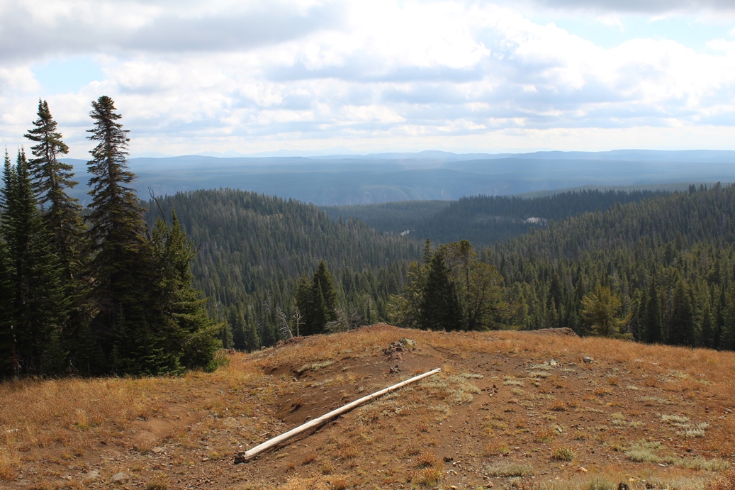
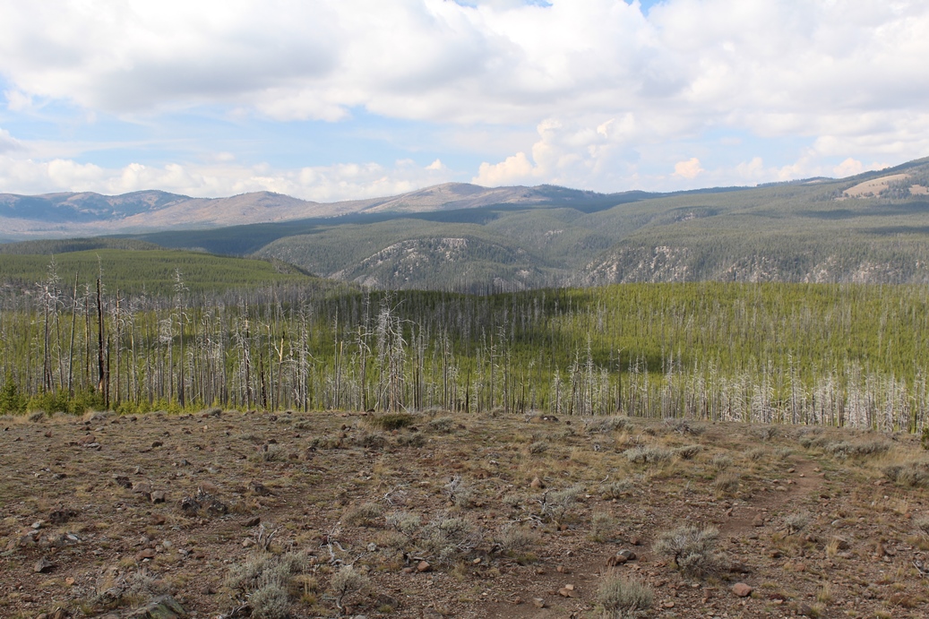
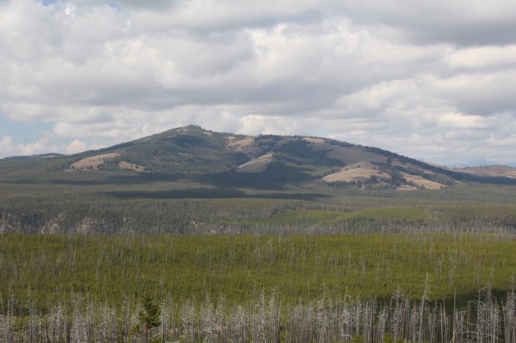
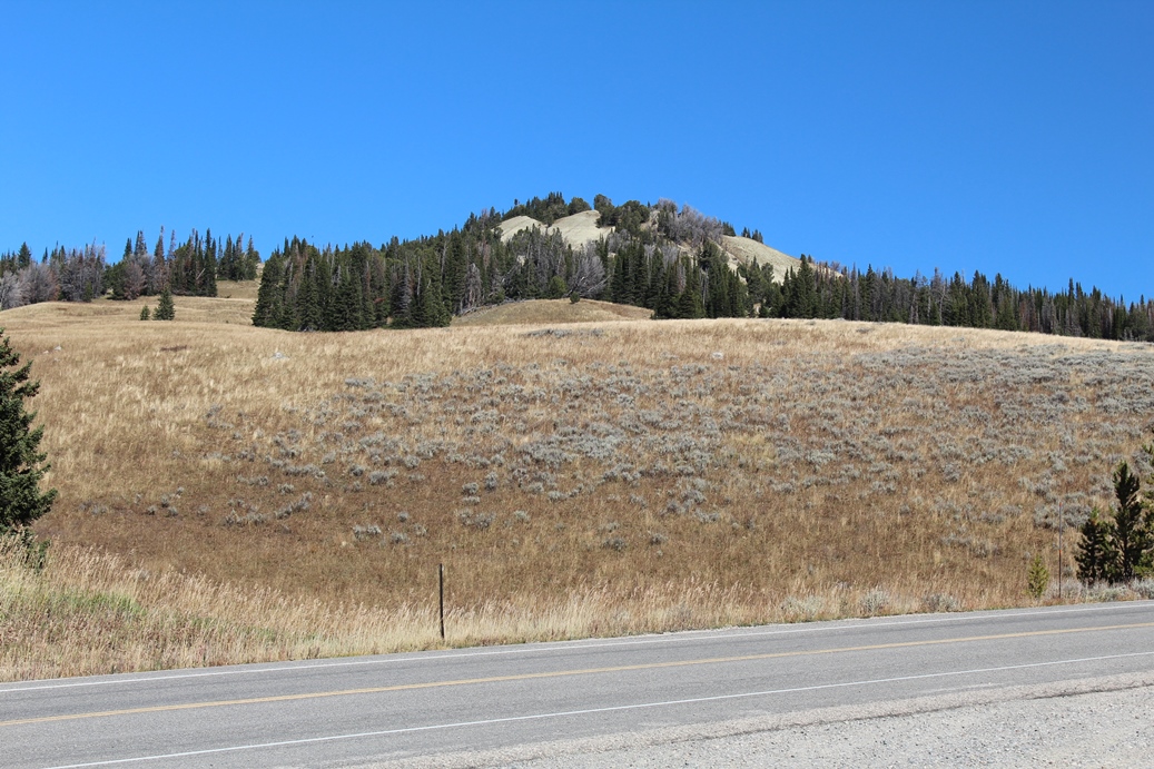
For
our ten year anniversary we decided to return to
Yellowstone National Park. This is where we
spent our honeymoon and I thought it would be a
great spot to return to. The first set of
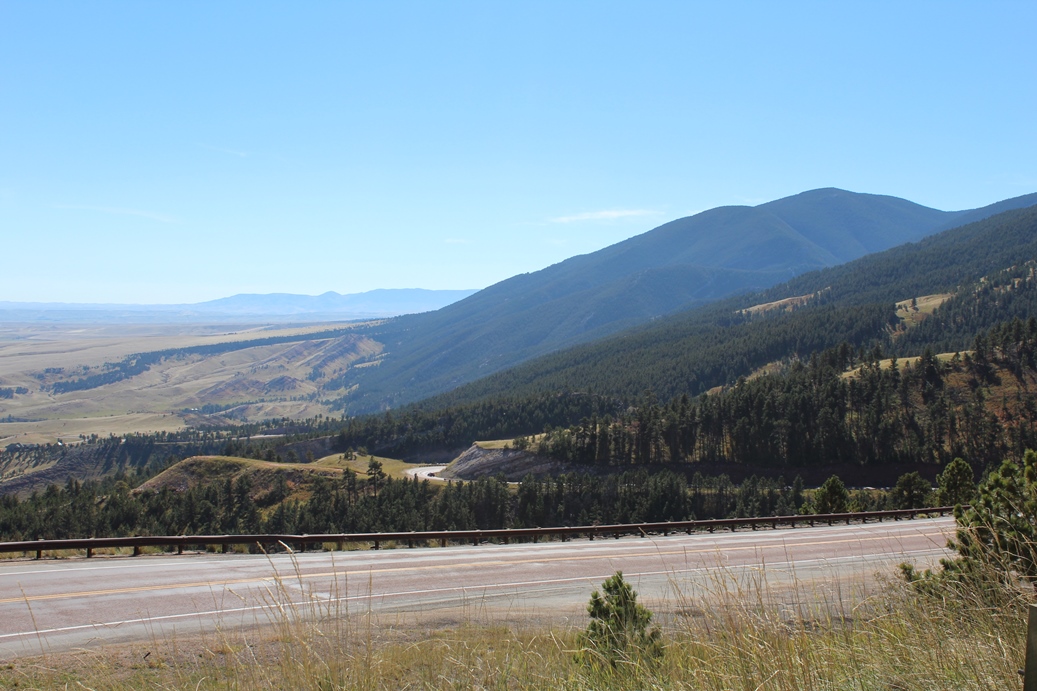
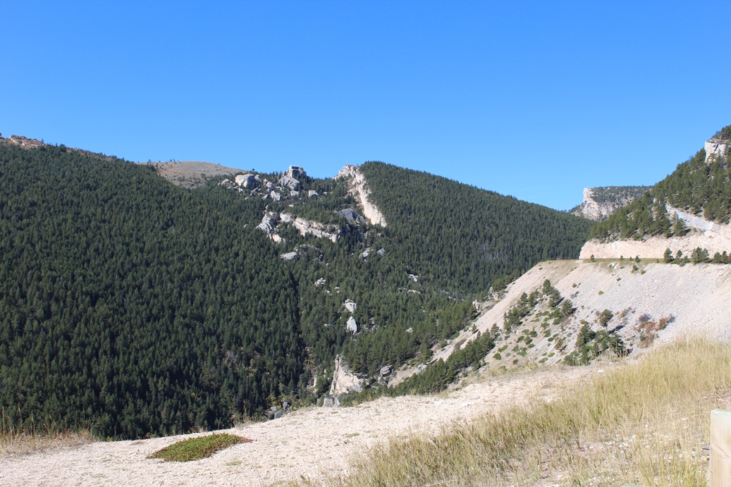
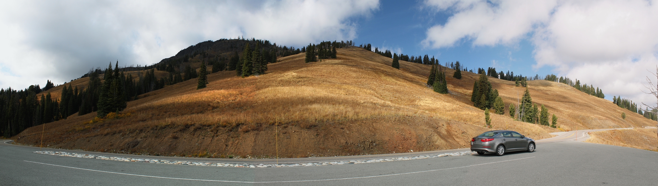
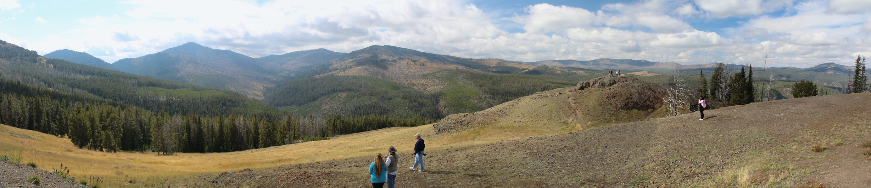
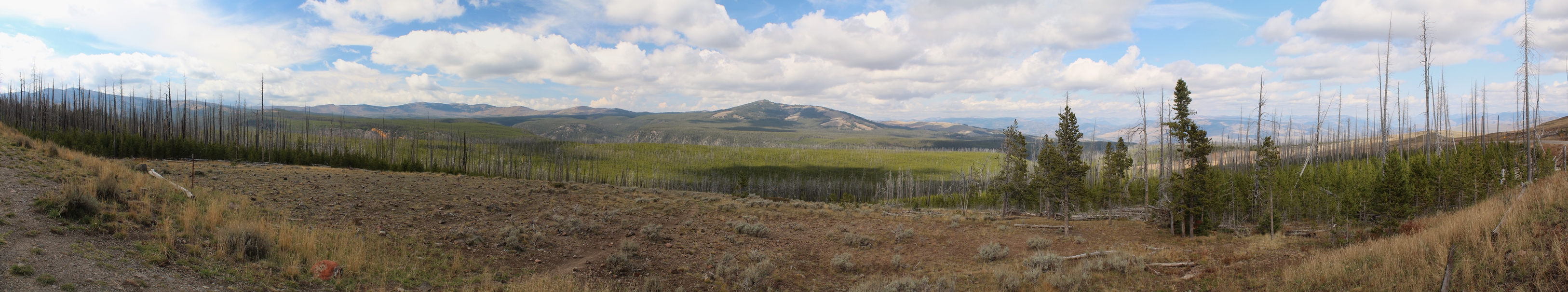
photos here, and the panoramic ones below, are when
we first entered the Big Horn Mountains.
|
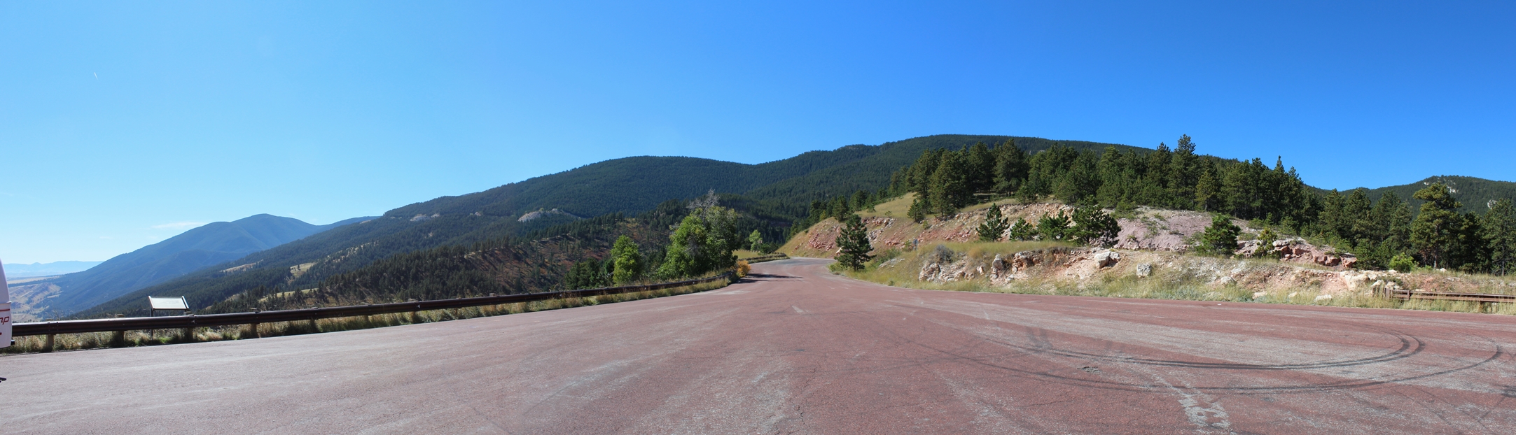
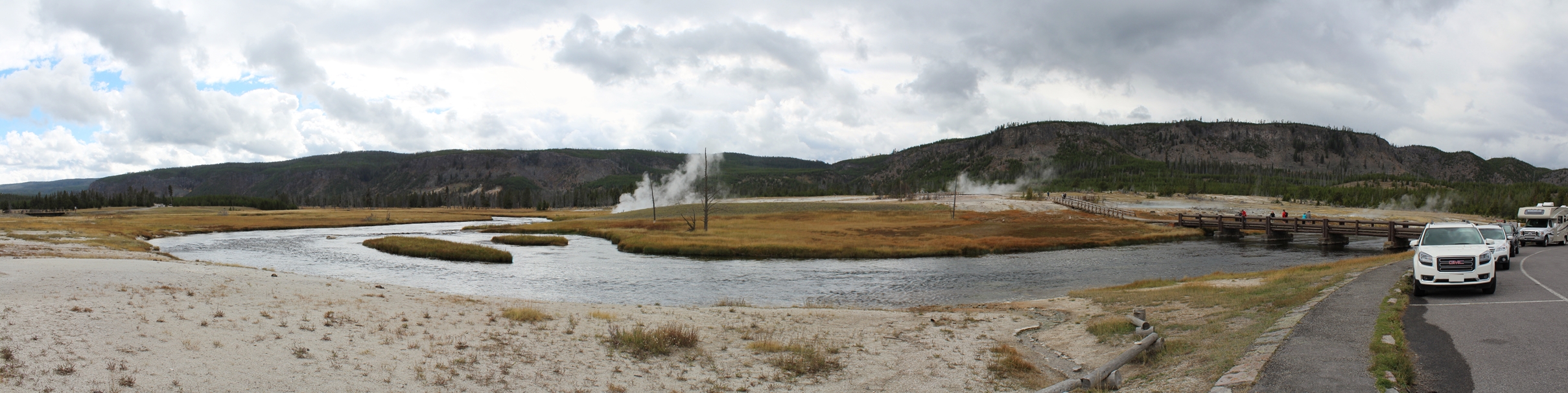
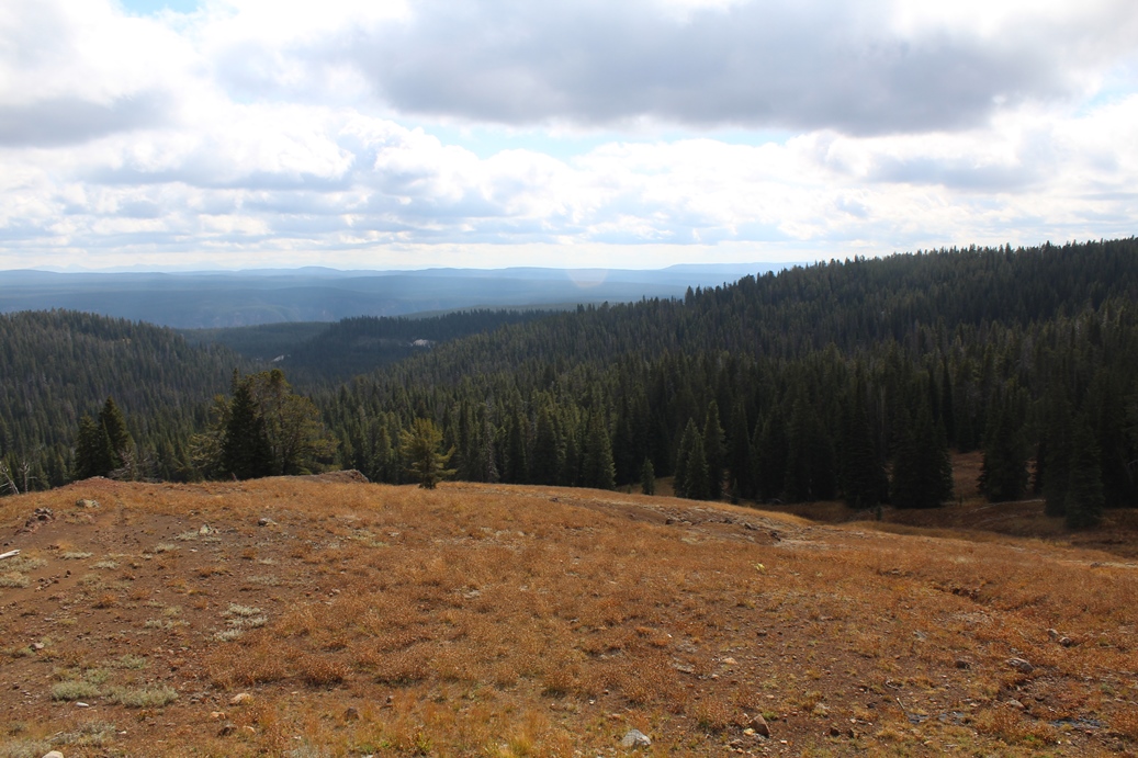
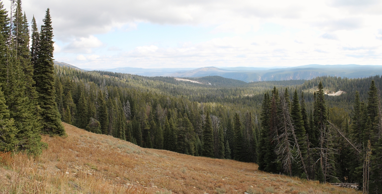
Panoramic
(Click on Images for Larger Picture)
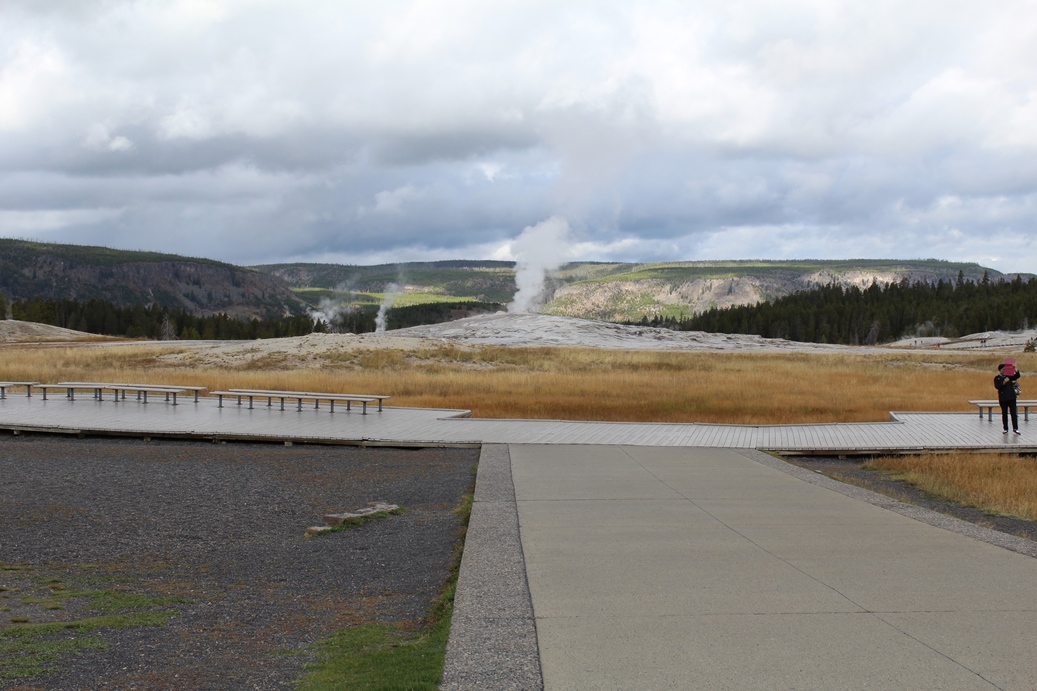
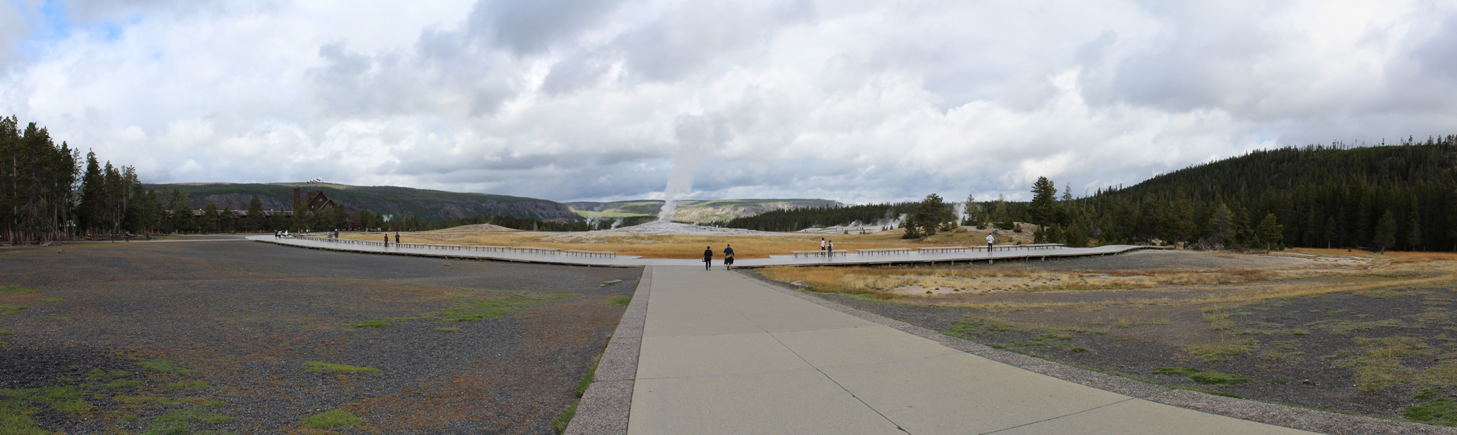
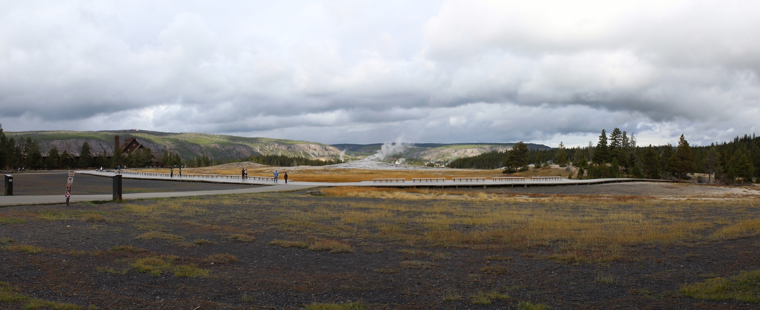
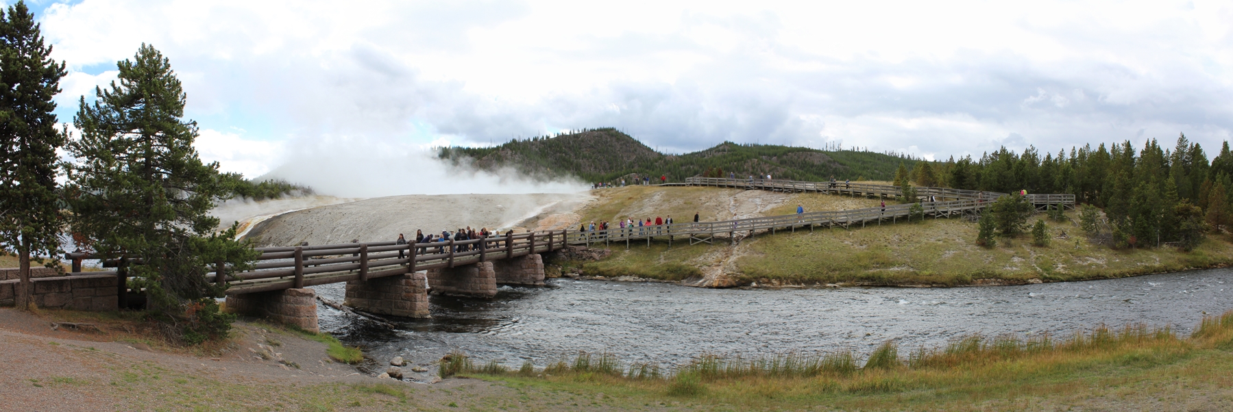
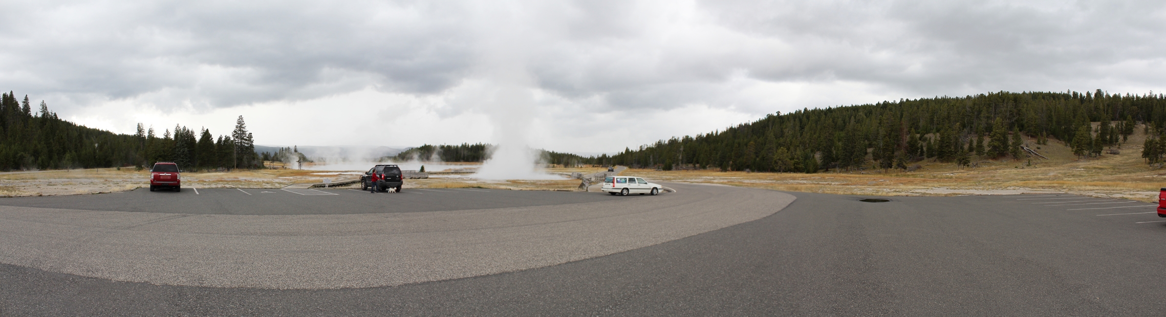
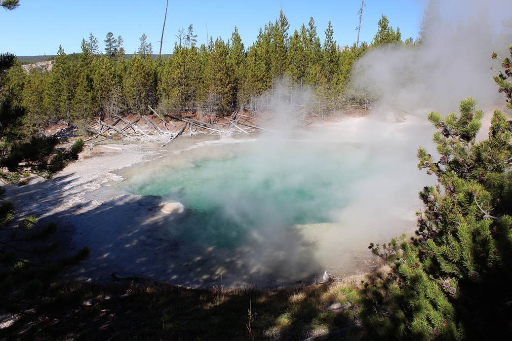
Old Faithful
(Click on Images for Larger Picture)
|
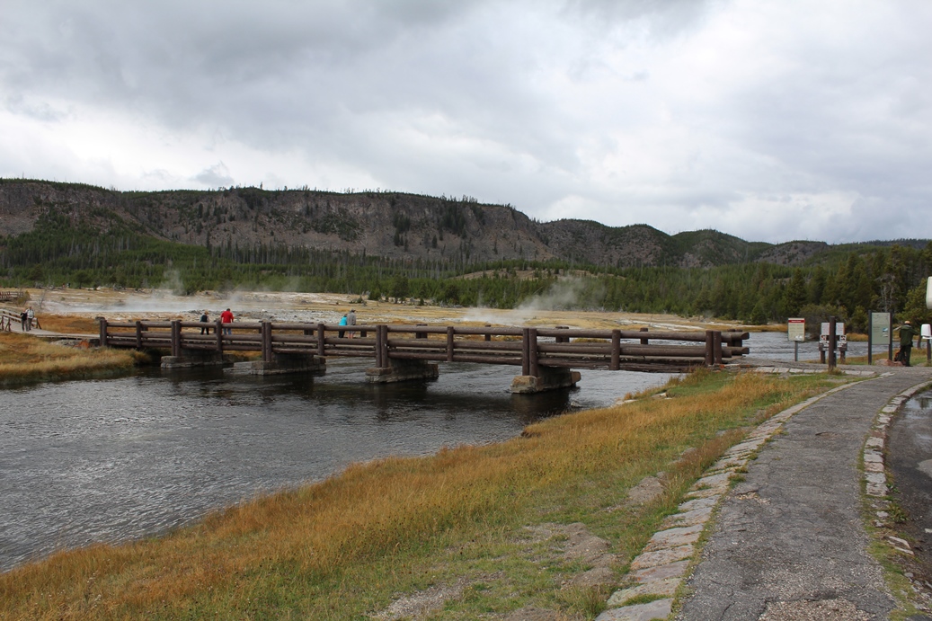
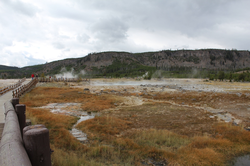
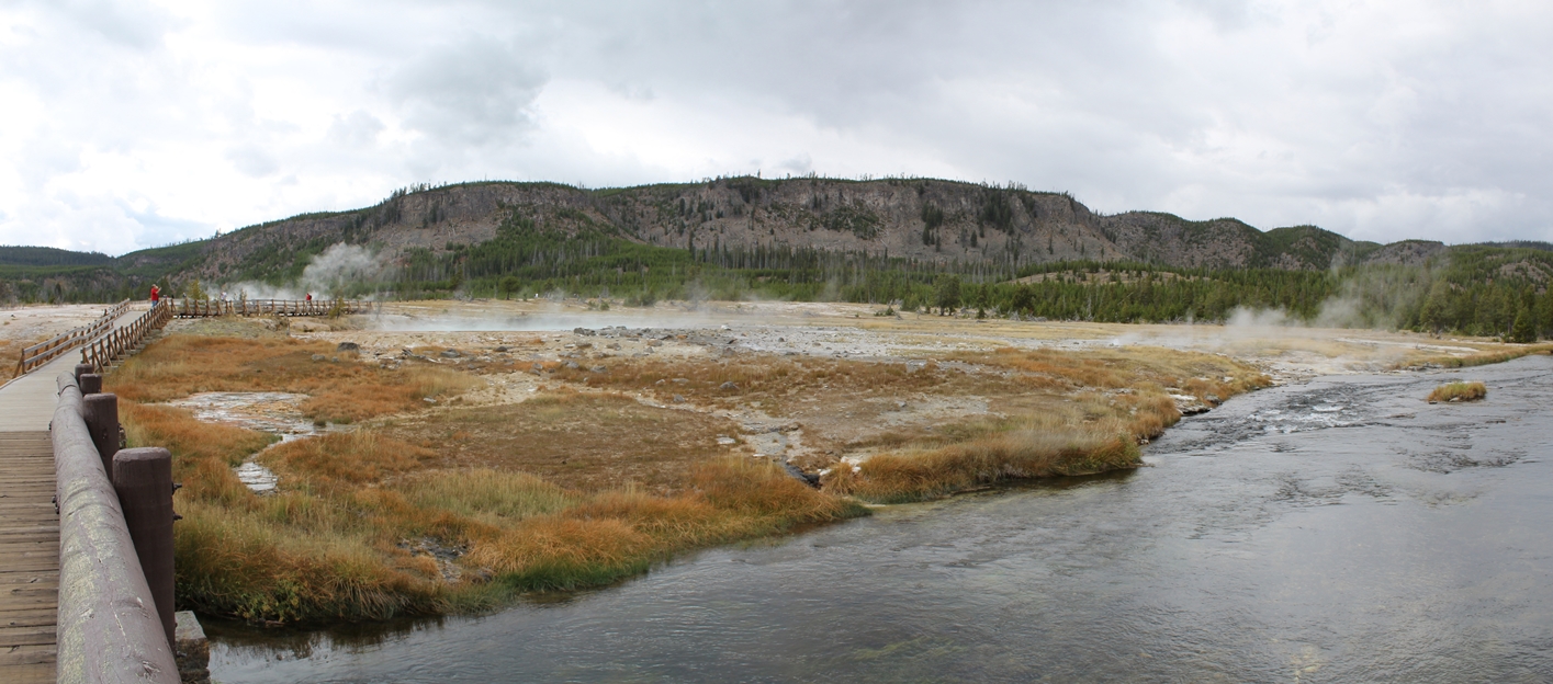
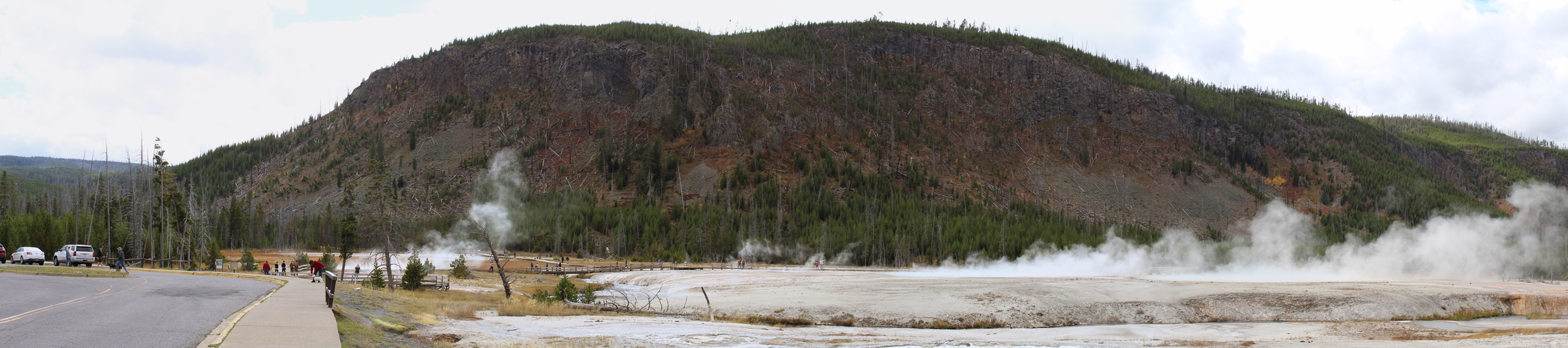
Here
are a couple of pictures from Old Faithful. We
did not spend much time around this area and did not
have much of a chance to do any hiking around the
smaller hot springs here.
I would like to take
time to mention that if you do plan on visiting
Yellowstone and you have pets, please be aware that
they are not allowed on the trails. The most
they are allowed to walk around are some overlooks,
a few hot springs and geysers that you can see from
the parking lots, and no more that one hundred feet
from any paved surface. If you do bring pets,
please be aware that you will have to leave them in
your vehicles, or campsite, so please be prepared
for this. Further questions regarding pets can
be answered by the park officials.
|
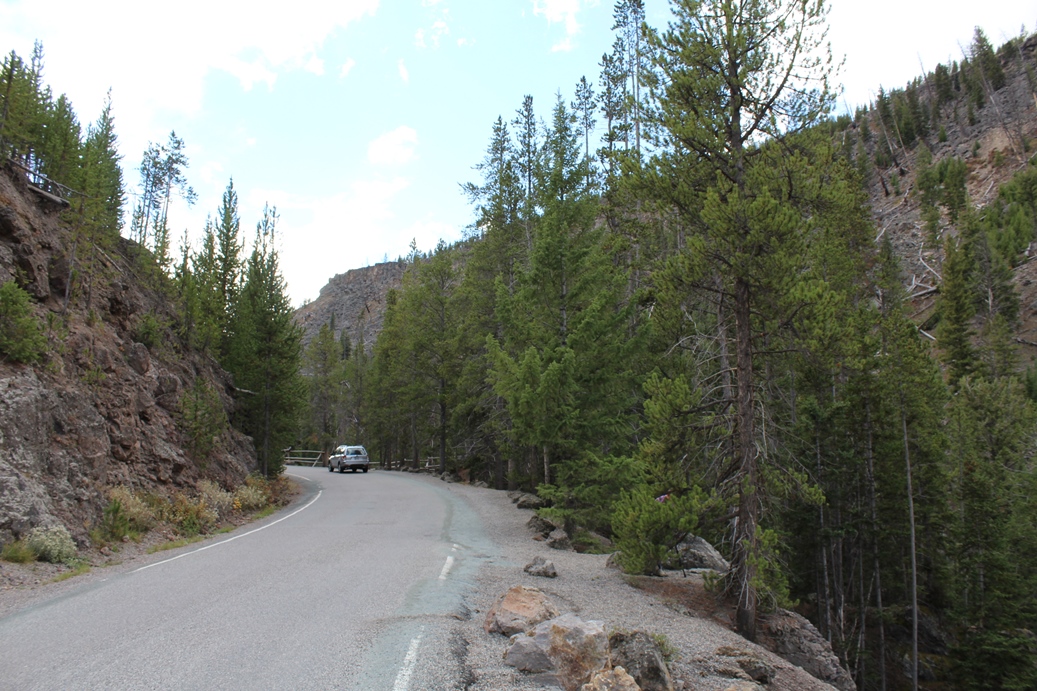
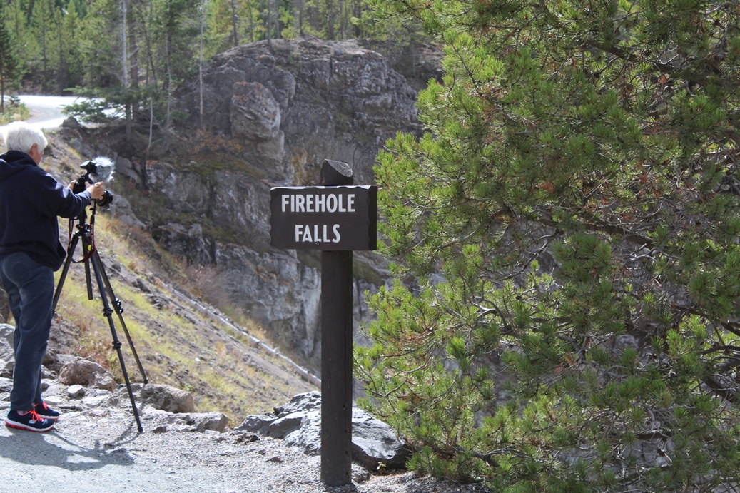
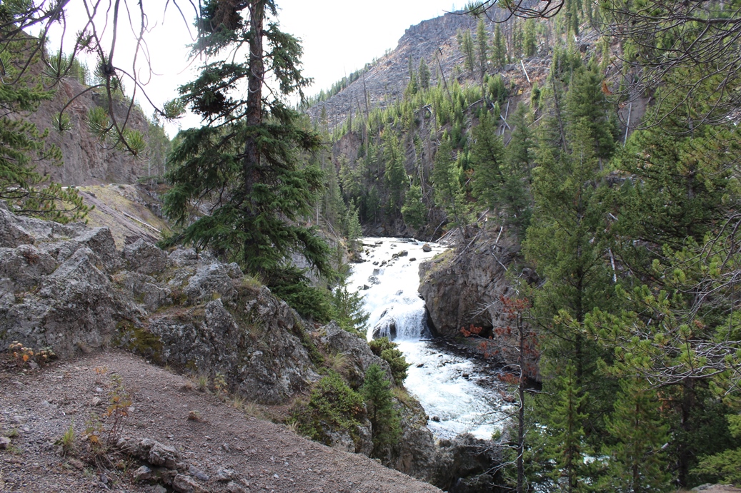
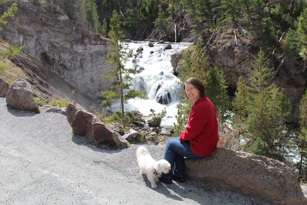
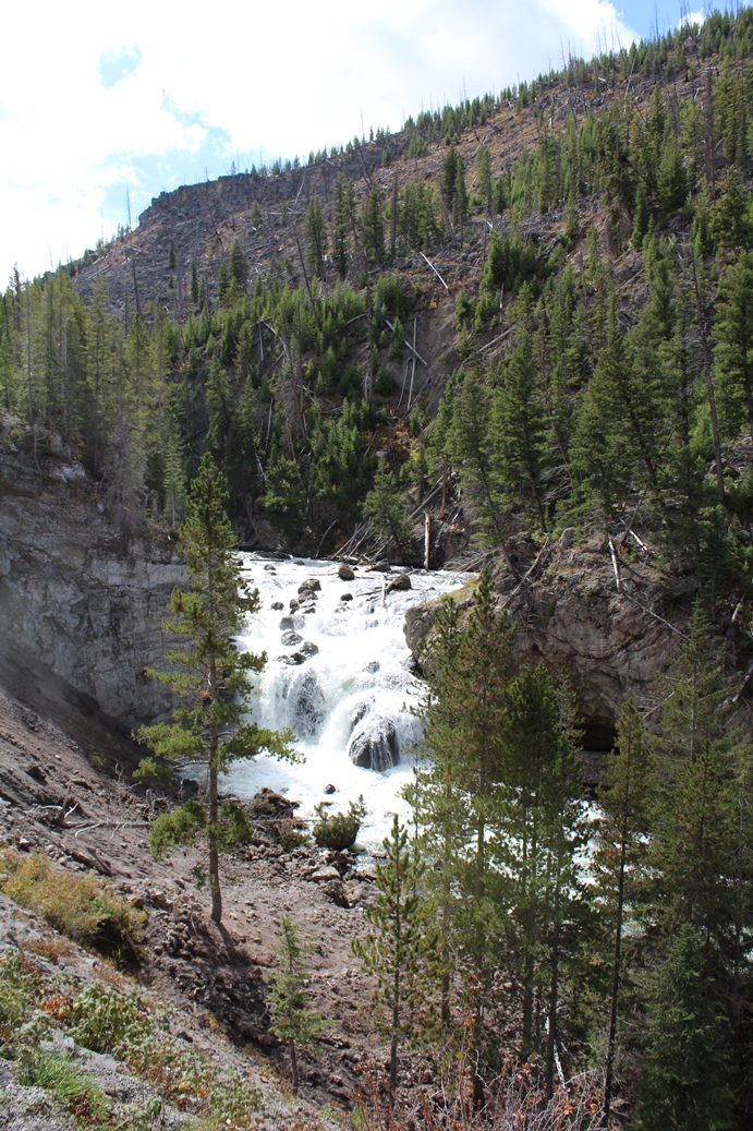
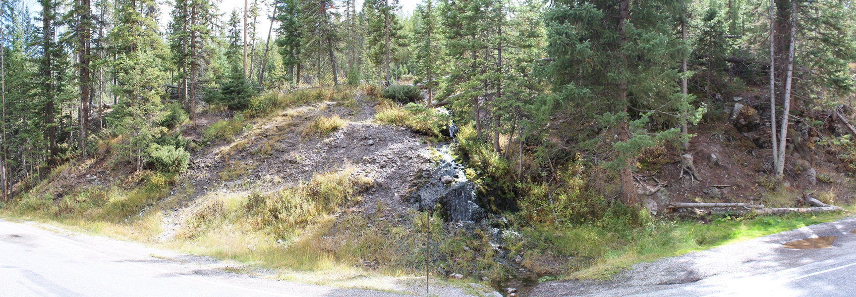
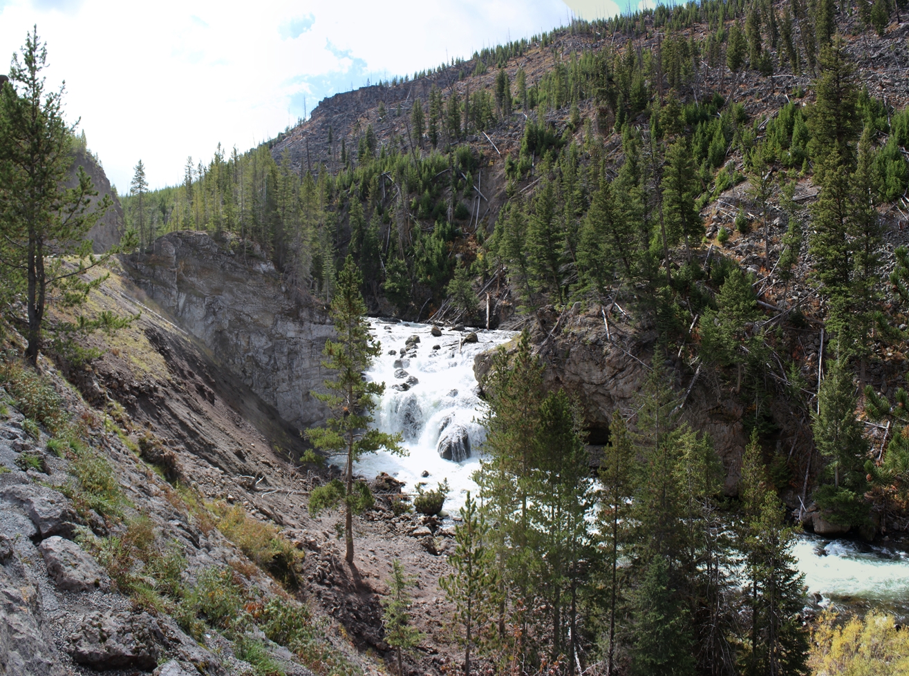
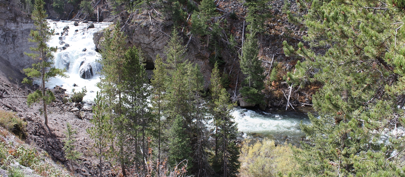
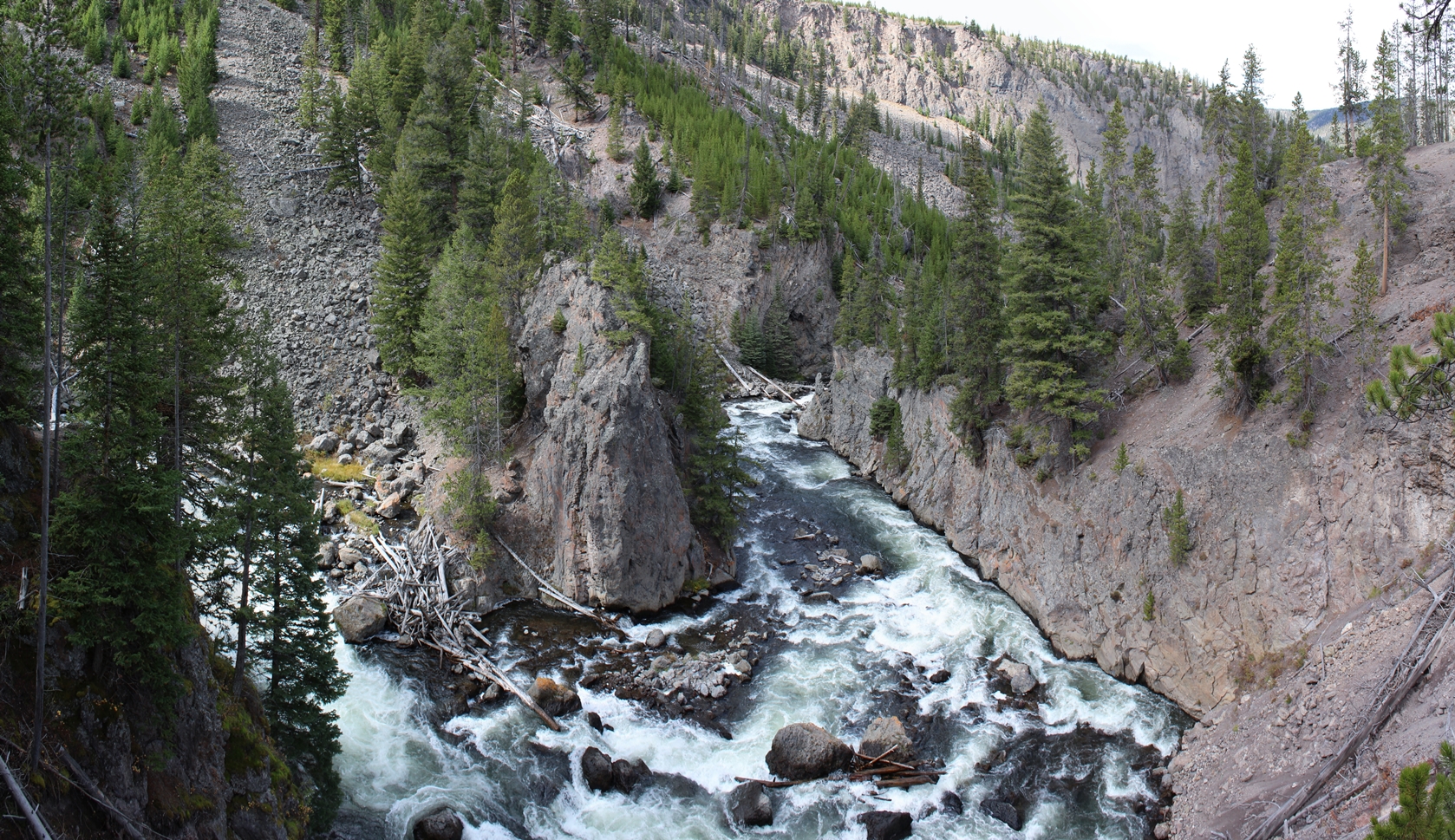
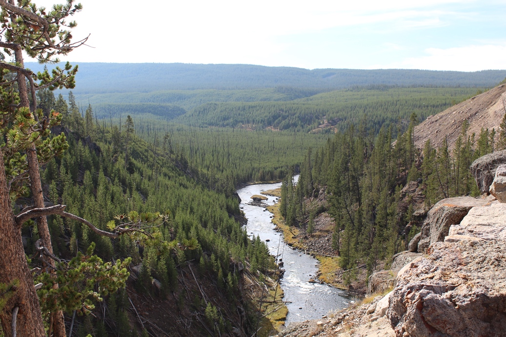
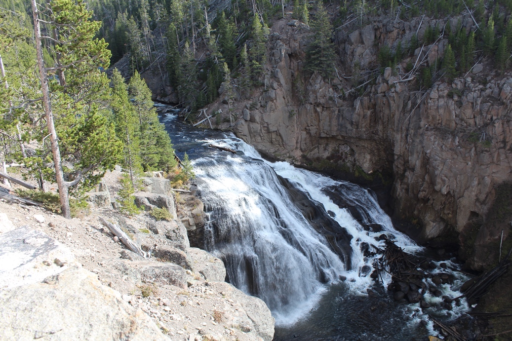
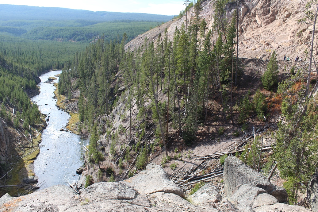
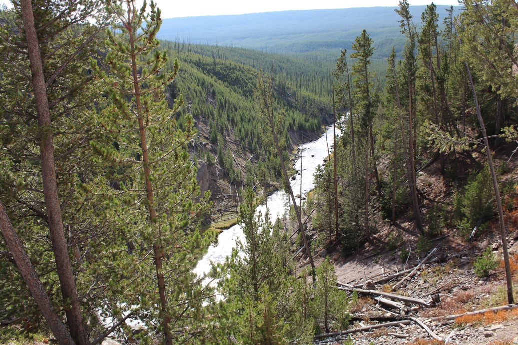
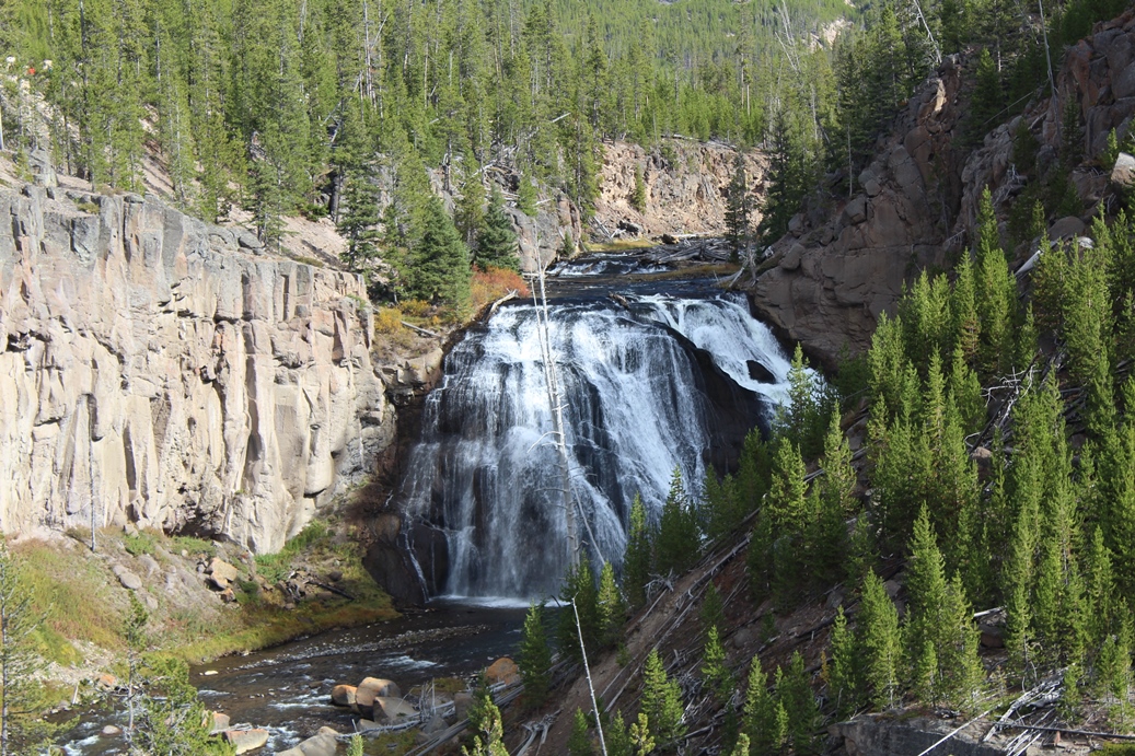
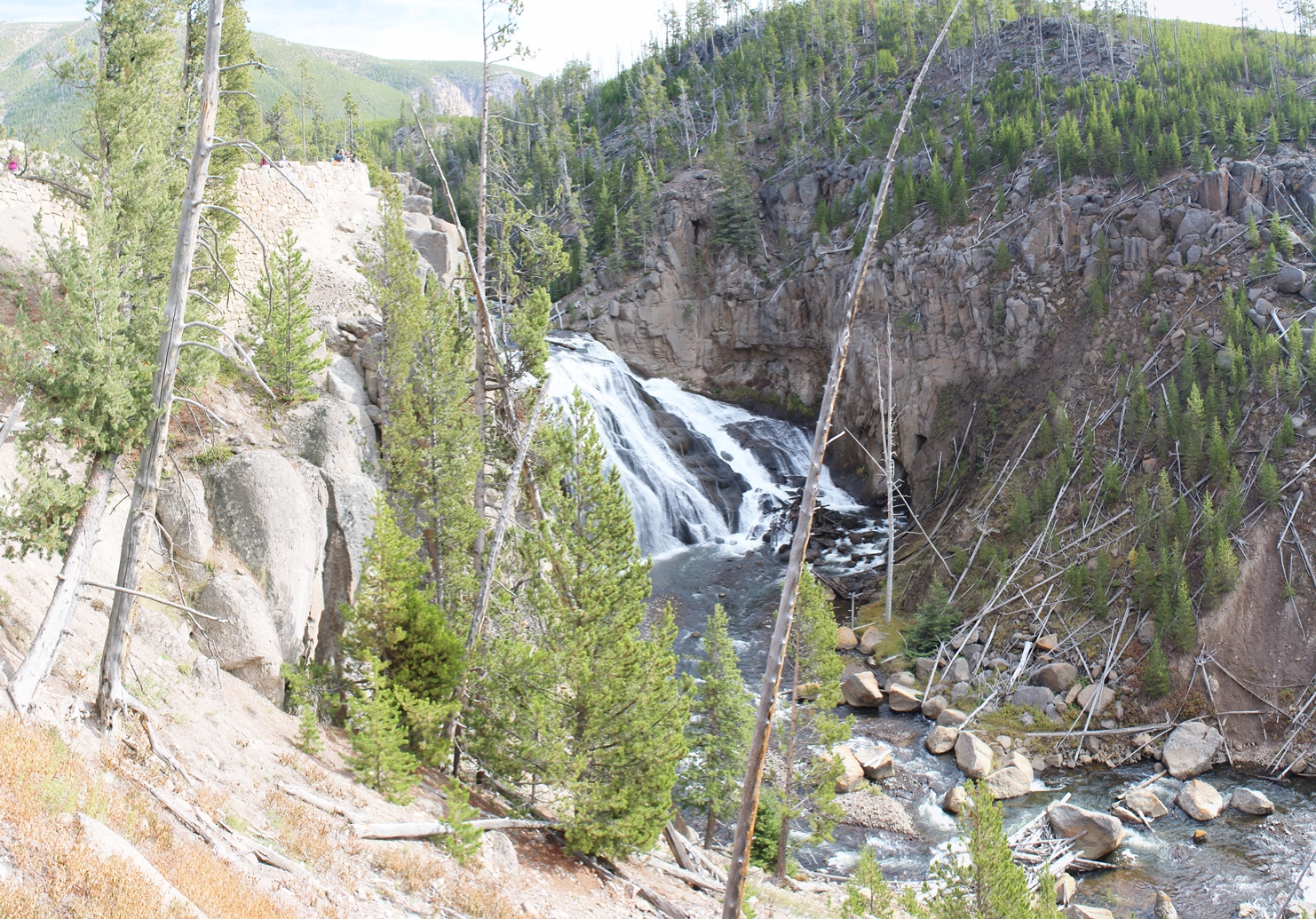
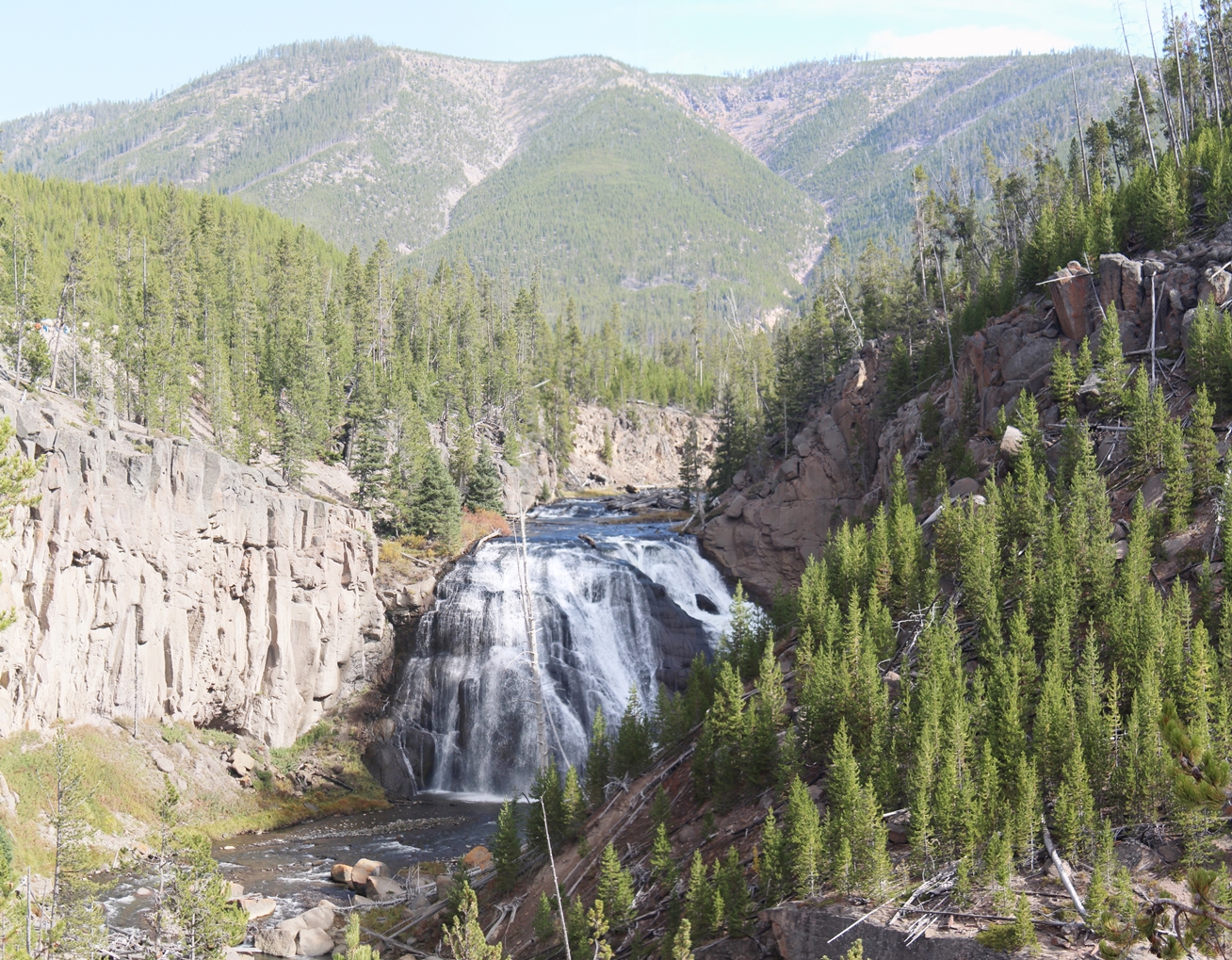
Firehole Falls Tour
(Click on Images for Larger Picture)
|
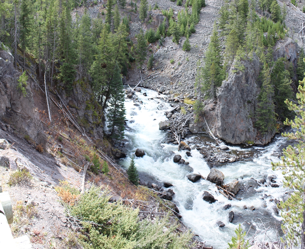
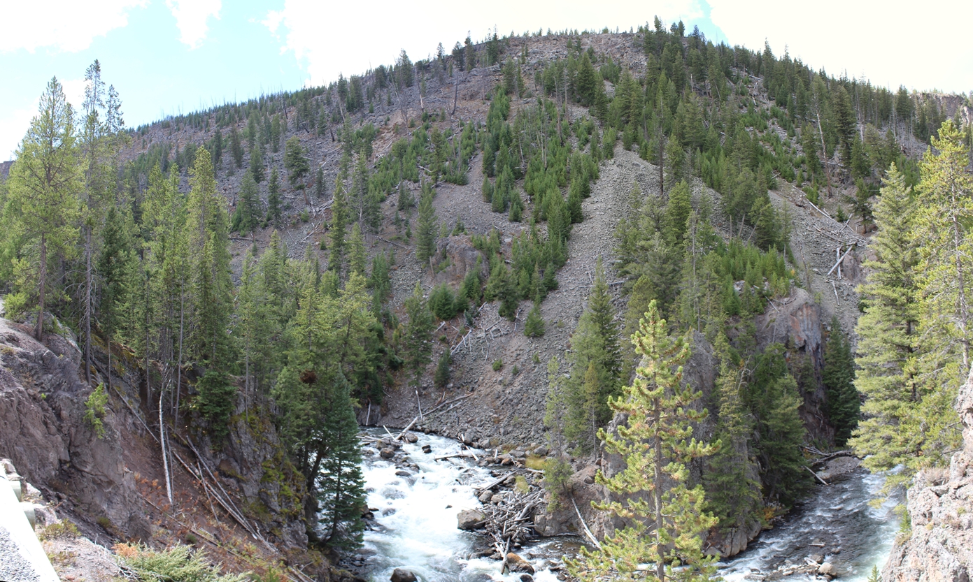
This
was our first driving tour of the trip. There
is a little spur going off the road, on the way to
the Old Faithful, leading to an area called the
Firehole Falls. There is some pretty
spectacular views of the river and falls along this
short drive.
|
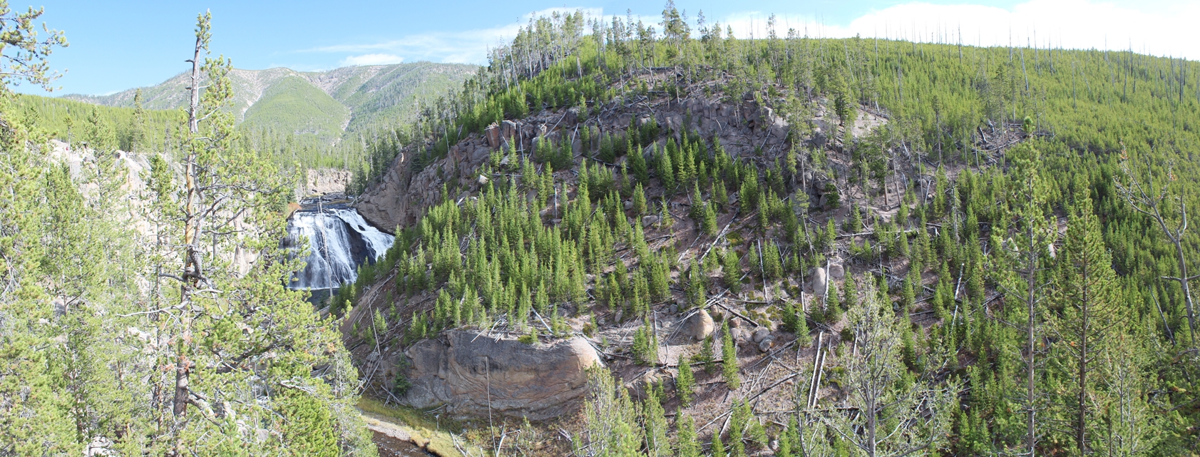
Panoramic
(Click on Images for Larger Picture)
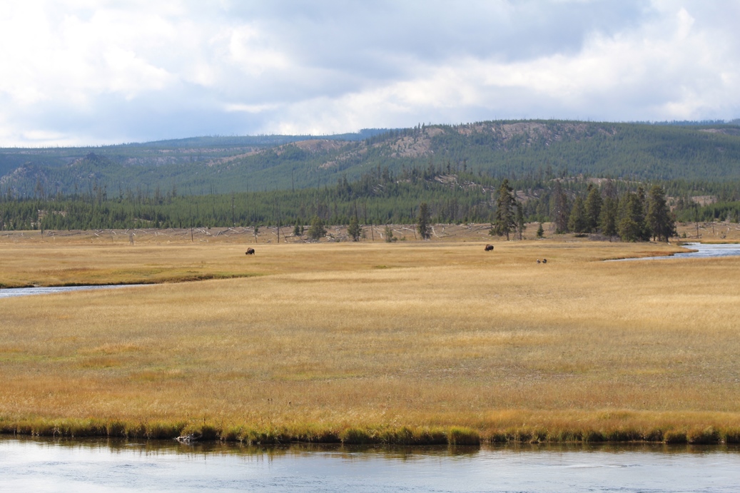
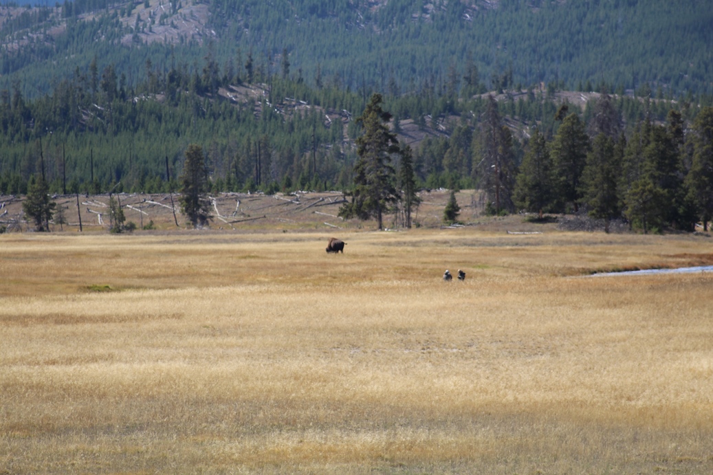
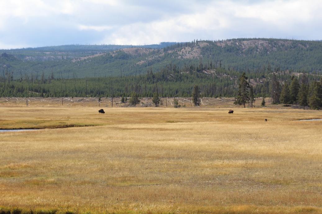
Fountain Flat Drive
(Click on Images for Larger Picture)
|
Fountain Flat Drive is a good place to get some good
views of wildlife. Although there were only
the two bison here when we were visiting, it was in
this area that we saw a whole herd crossing the main
road about a mile away from this road.
|
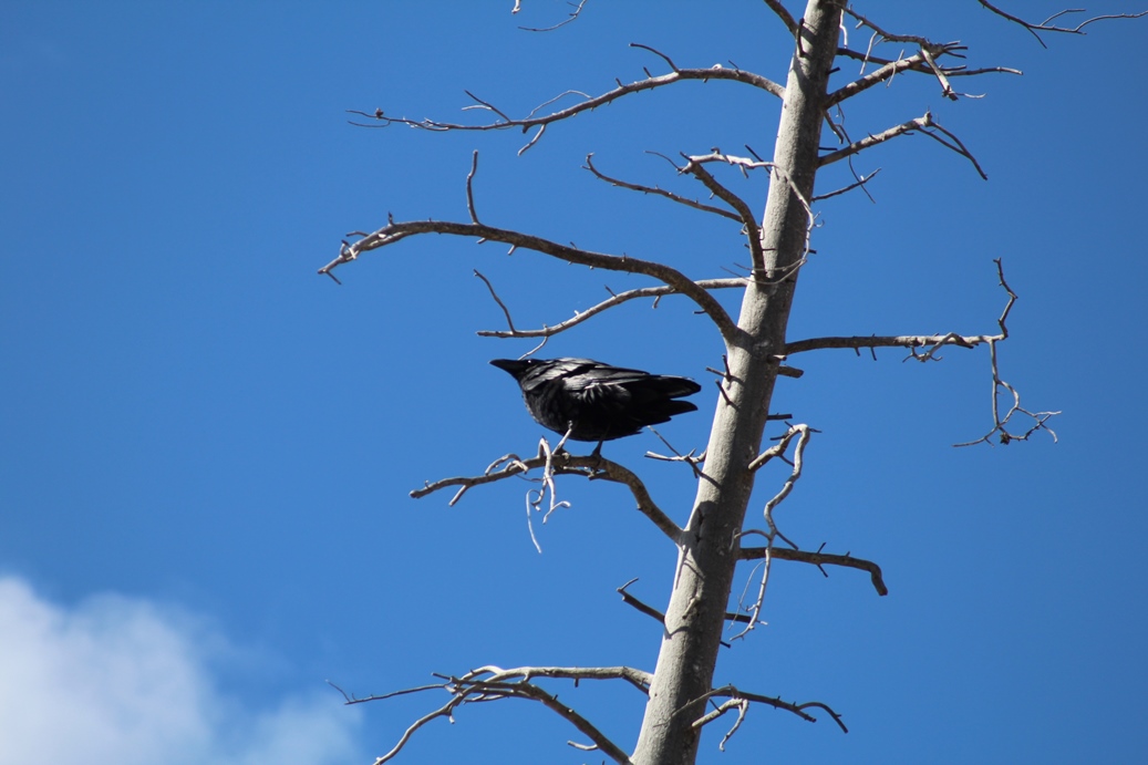
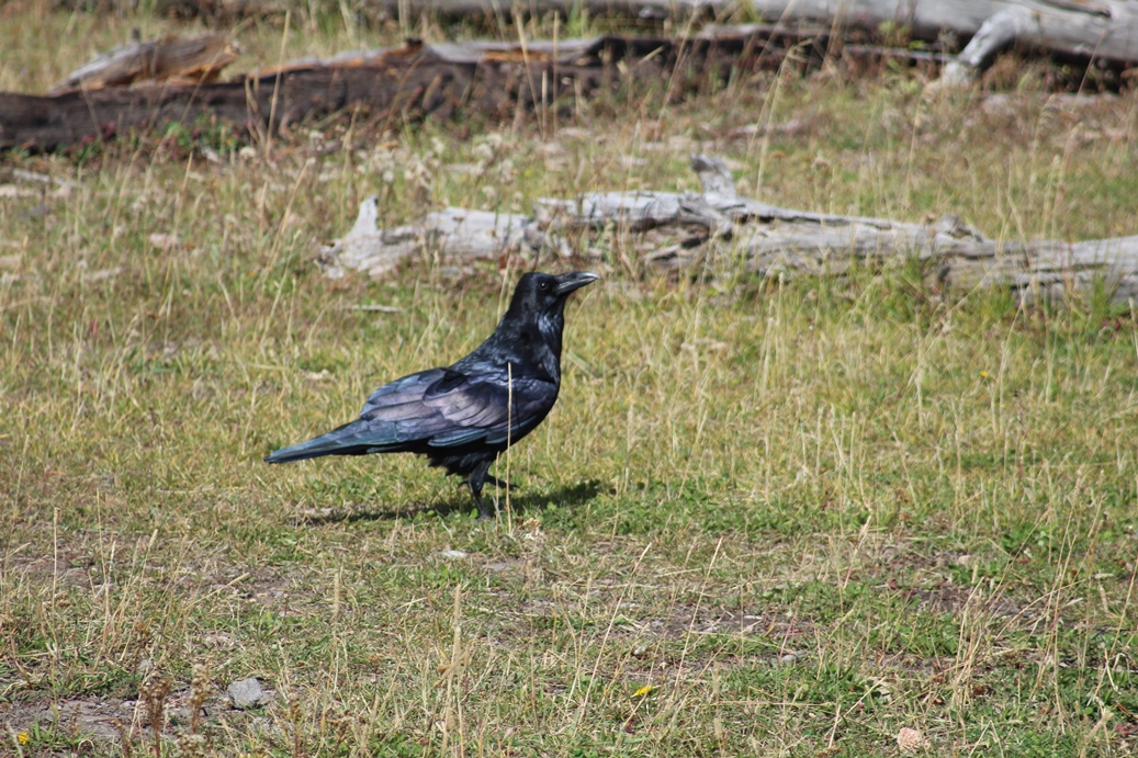
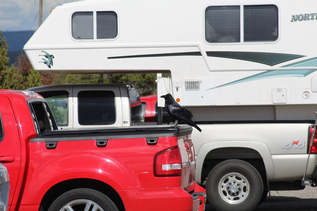
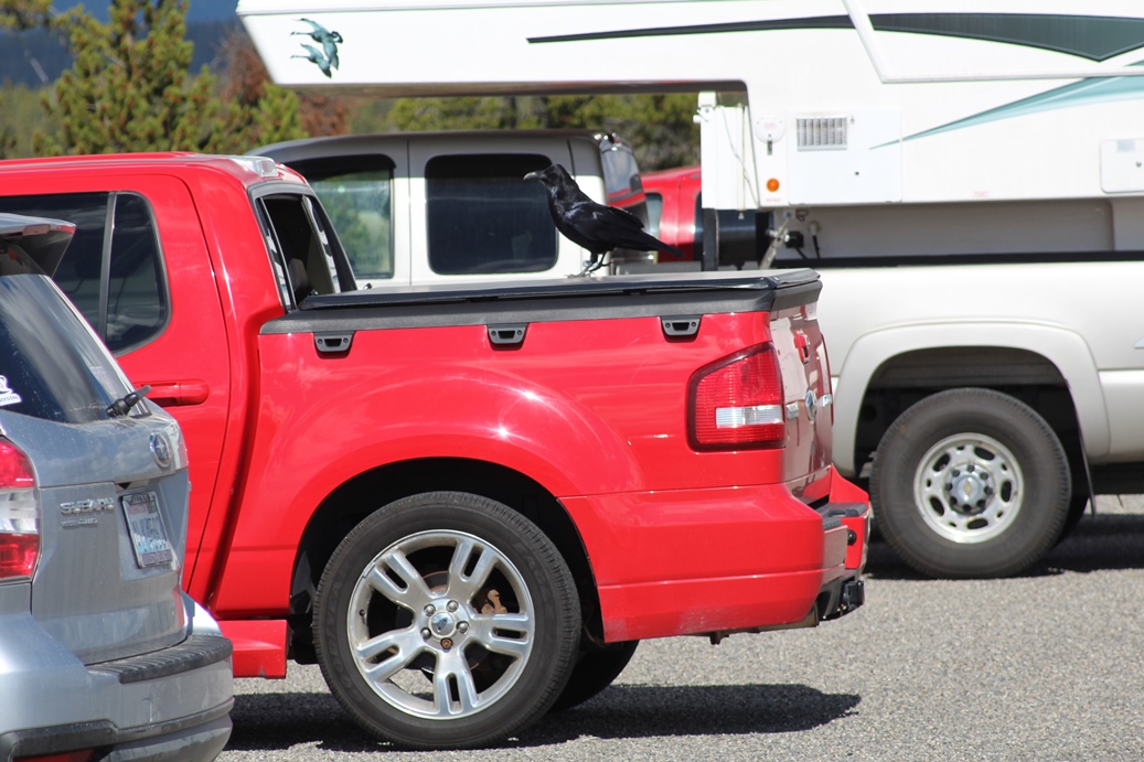
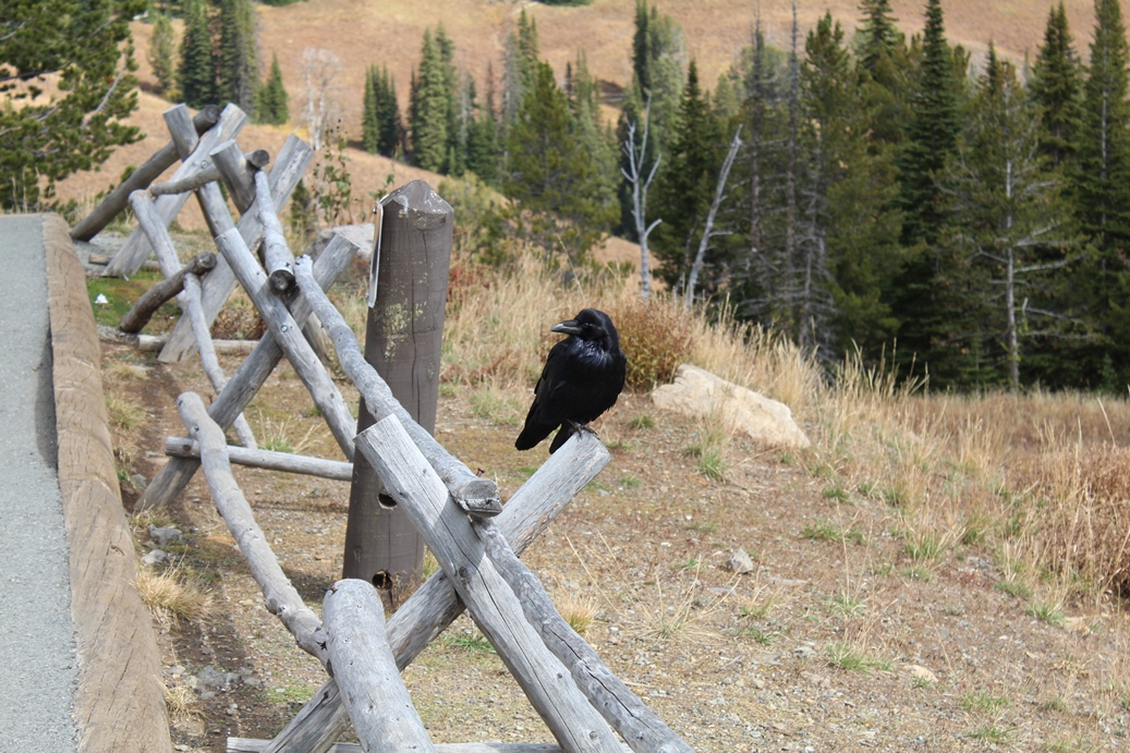
Ravens
(Click on Images for Larger Picture)
|
|
|
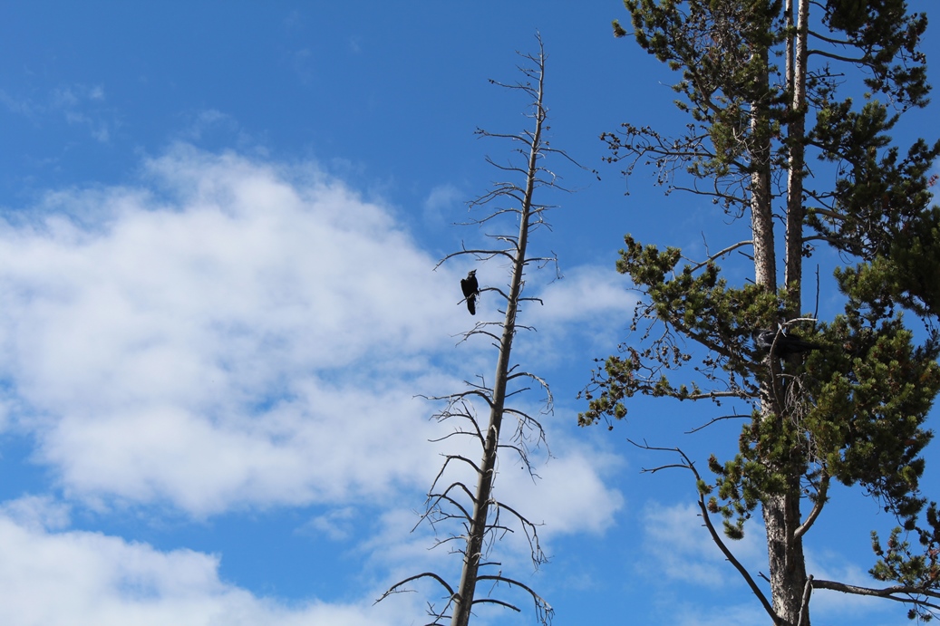
One
thing we forgot about was the Ravens when traveling
out west. When we were taking a ranger guided
tour while visiting Arches National Park a few years
back, the ranger mentioned how smart Ravens were.
They would work in packs to steal food from
picnickers. One would make a scene, to get
everyone's attention, while the others were sneaking
around from behind to steal food. While we
were parked in the Flat Fountain area, we saw two
Ravens in a tree making a fuss. After a few
short minutes, one disappeared, but we did not think
anything of it. When we were finished and
walking back to our truck, we noticed that the one
that had disappeared was sitting on the back of our
truck looking at the open window. He moved
closer to it, but as we came back, he saw us and
eventually gave up. After that, I made it a
point to close all windows, not just to prevent
other people from getting in the truck, but the
critters as well. Just something to keep in
mind if you visit out west.
|
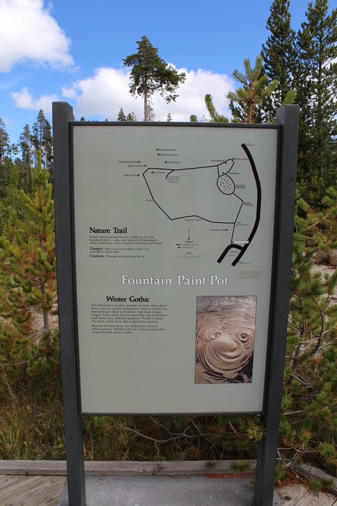
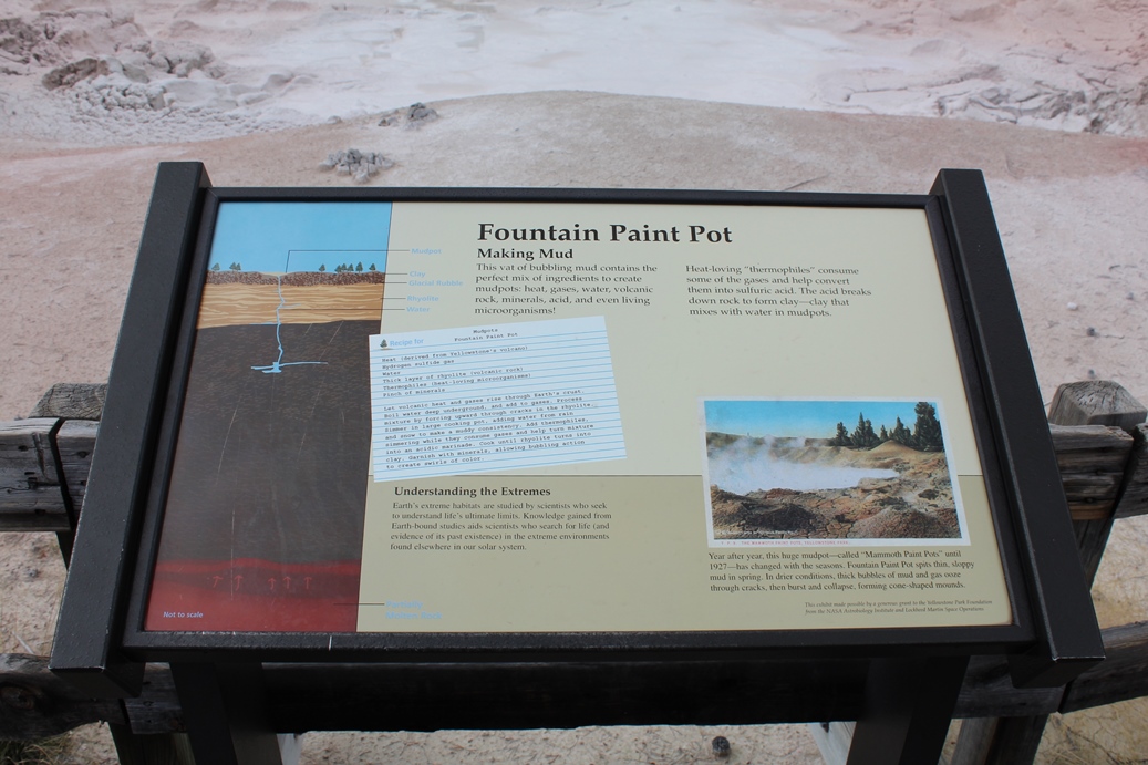
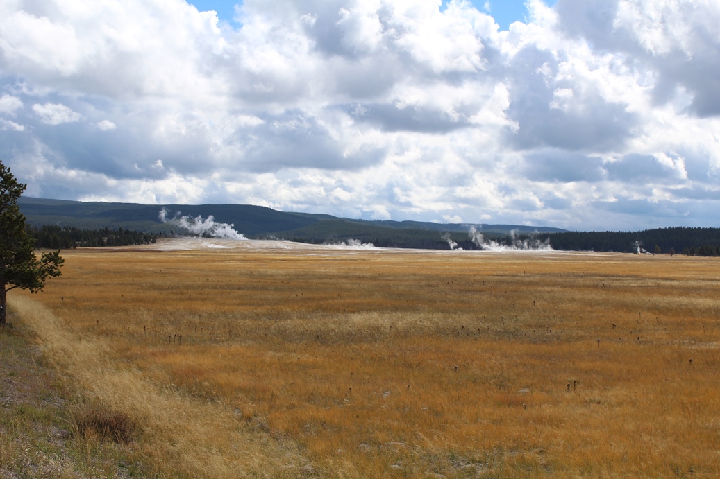
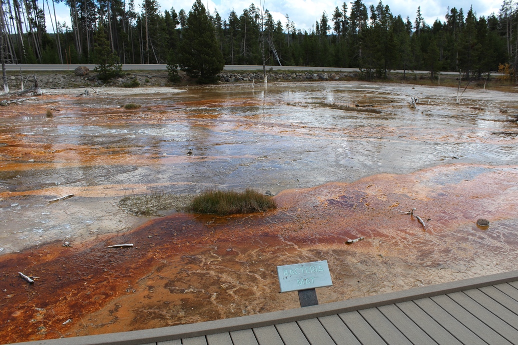
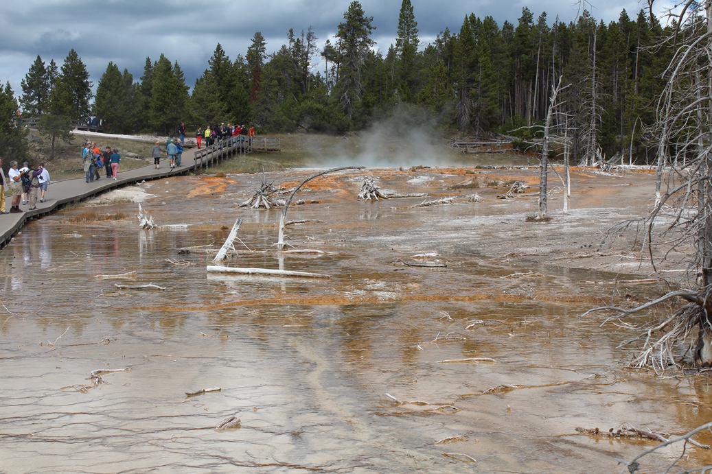
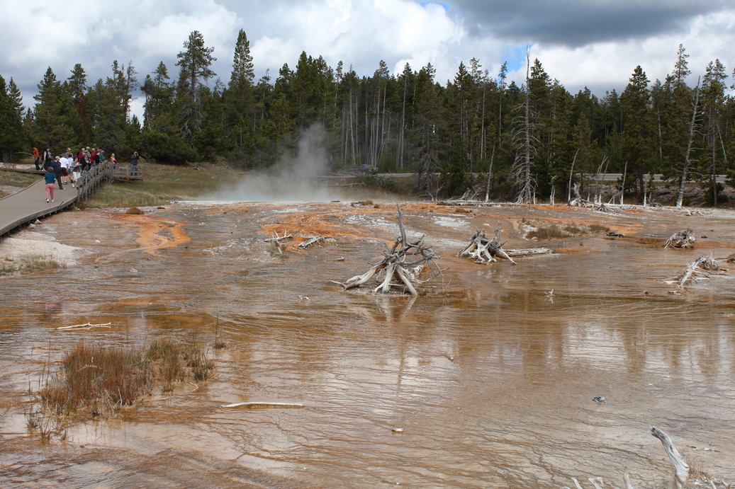
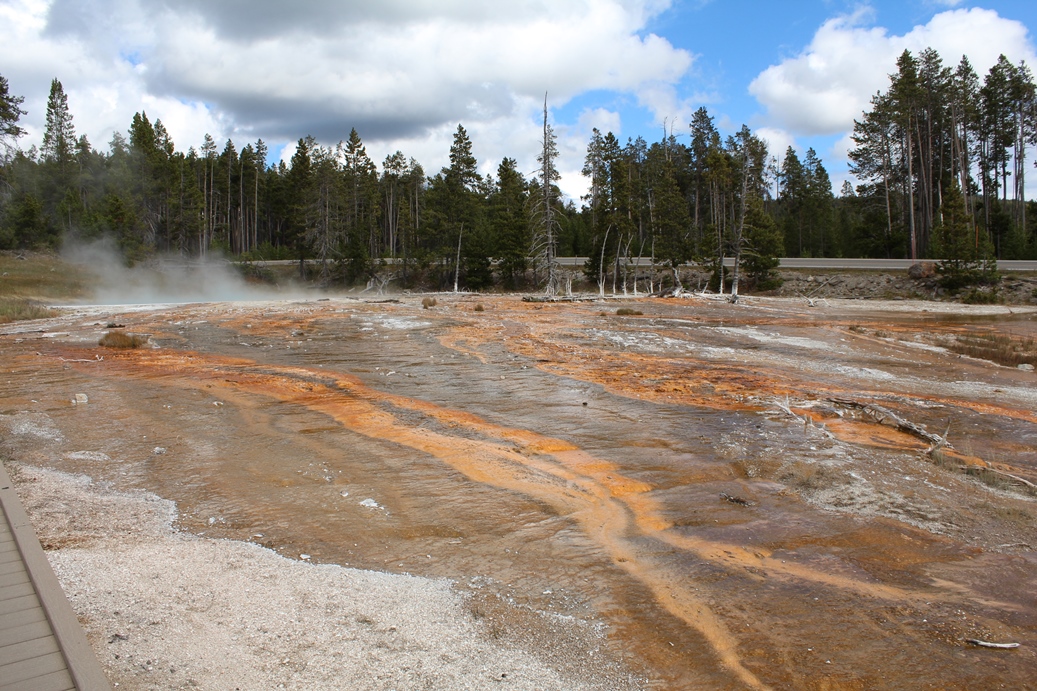
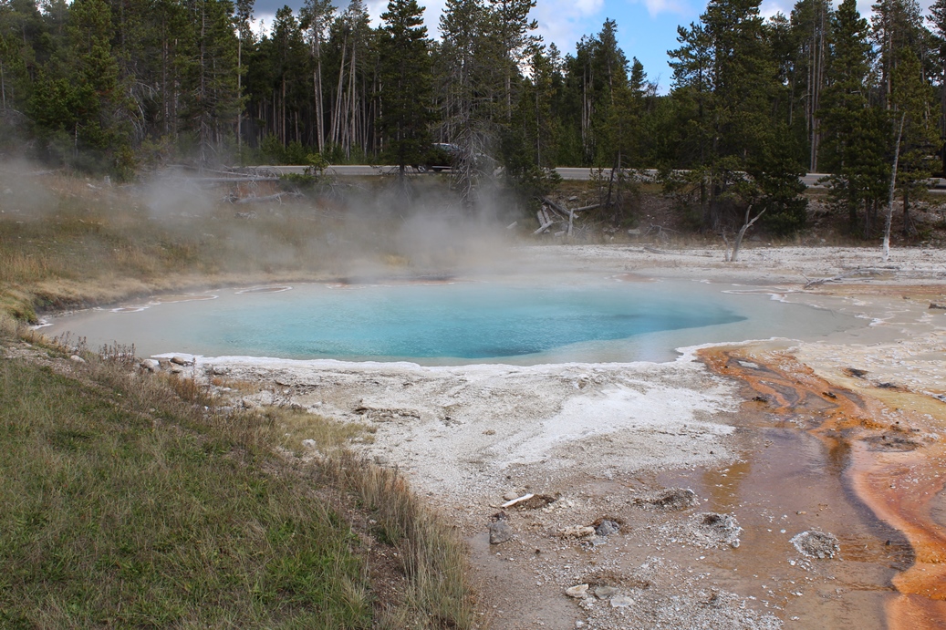
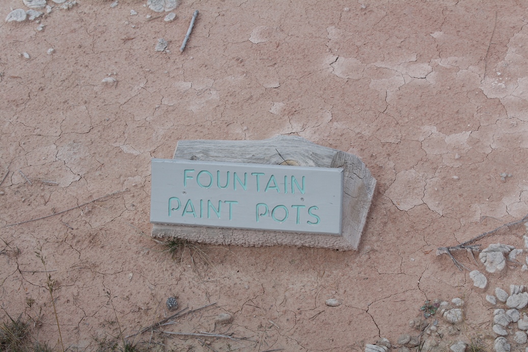
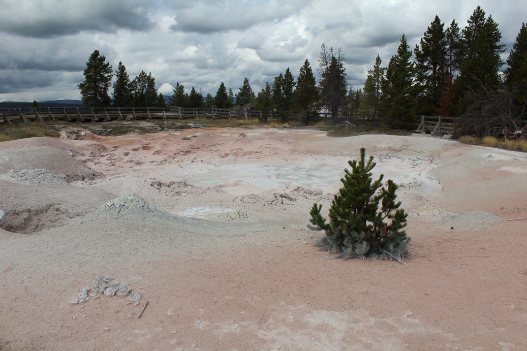
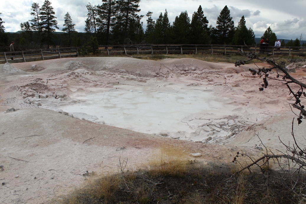
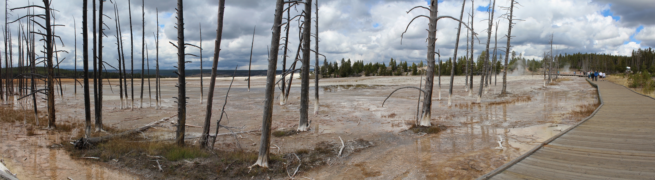
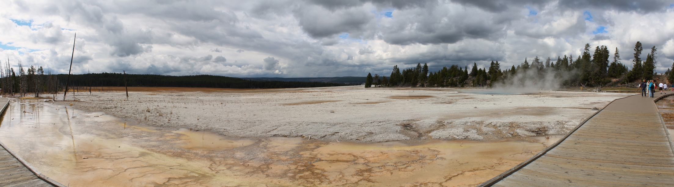
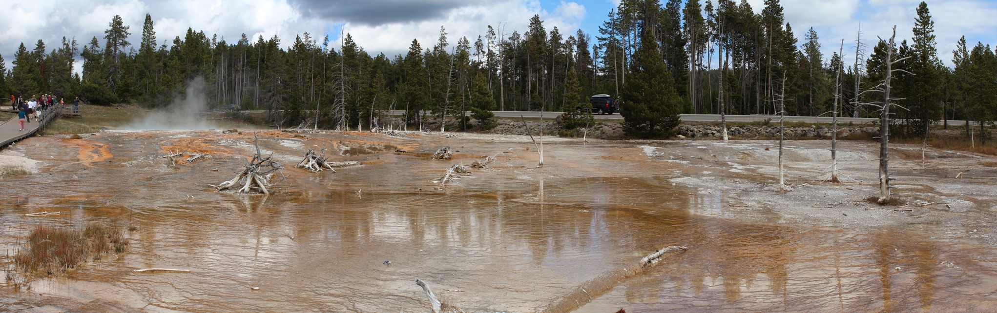
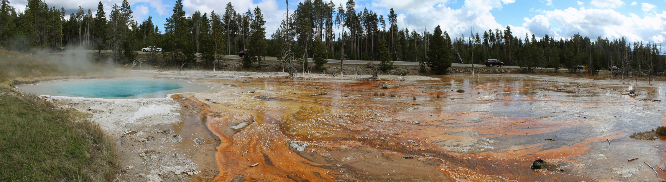
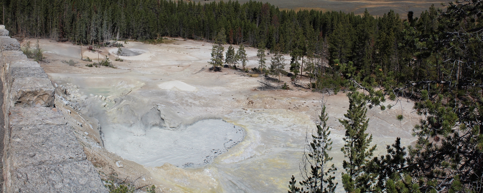
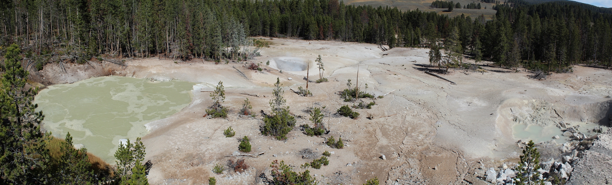
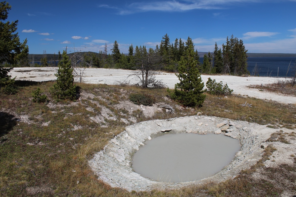
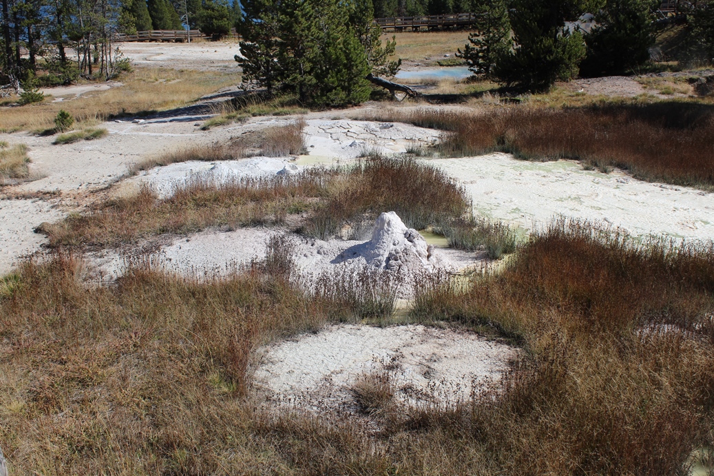
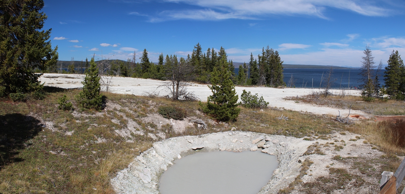
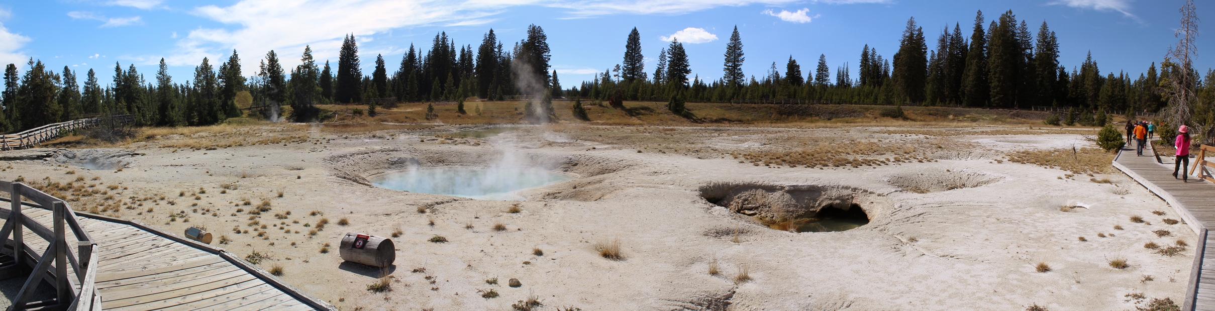
Fountain Paint Pot
(Click on Images for Larger Picture)
|
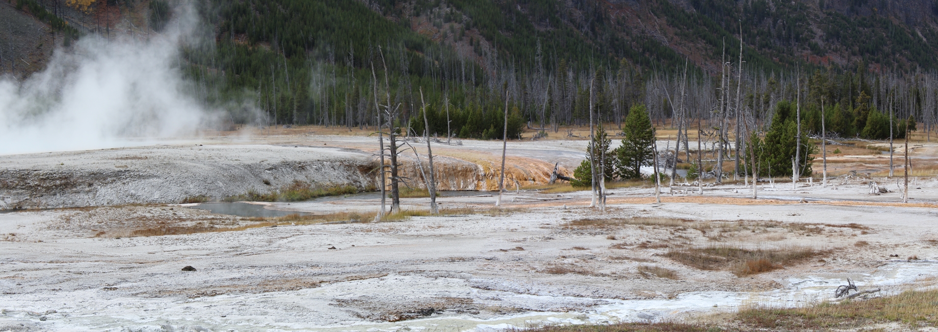
The
Fountain Paint Pot area gets its name from the
variety of colors produced by one springs called
Bacteria Mat, as well as the more muddy area shown
above which is actually the hot spring called
Fountain Paint Pot. This is a really neat area
to visit because of the variety of hot springs that
you can hike around. There is a really easy
board walk to take, and it does loop around farther
than these photos indicate.
|
Panoramic
(Click on Images for Larger Picture)
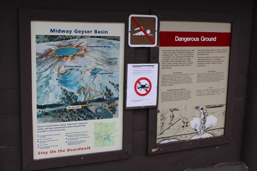
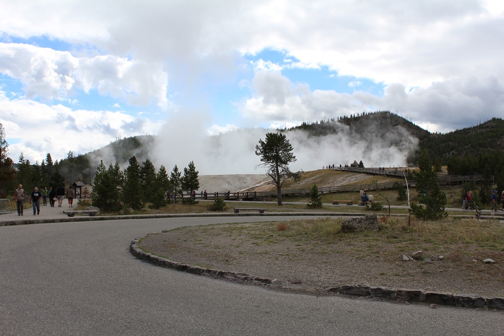
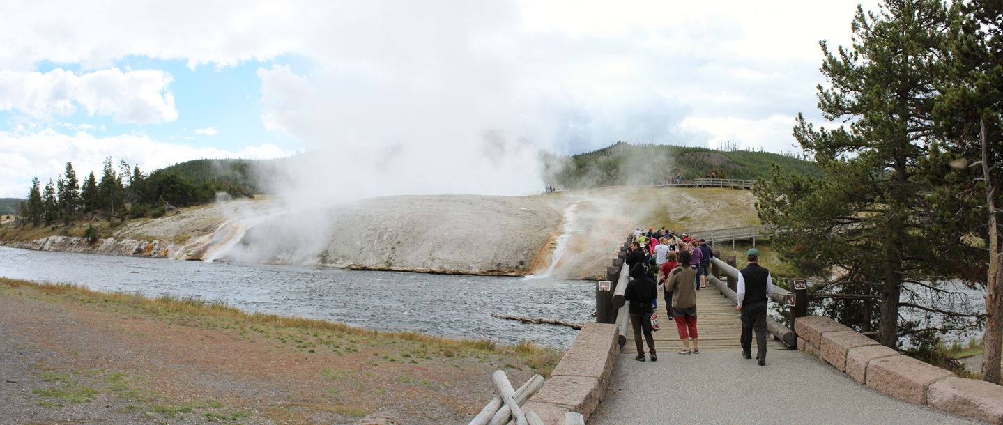
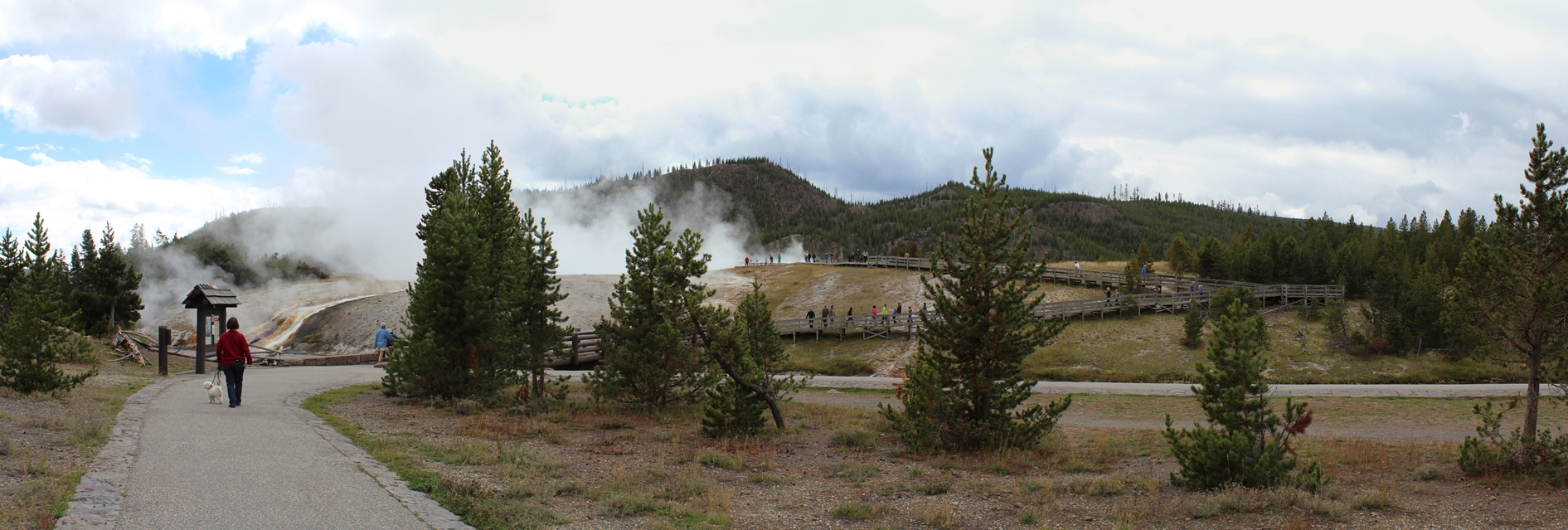
Midway Geyser Basin
(Click on Images for Larger Picture)
|
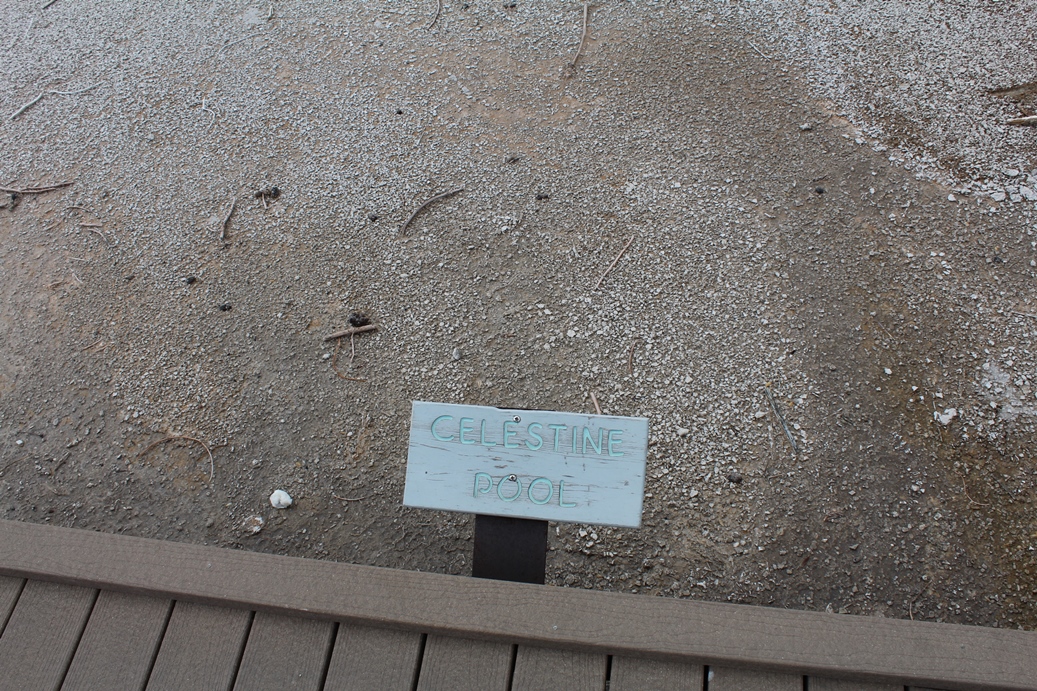
Midway Geyser Basin is home to the largest hot
spring, in Yellowstone National Park, Grand
Prismatic Spring. There are a few other hot
springs here as well and those are Excelsior Geyser,
Turquoise and Opal Pool.
|
(Click on Images for Larger Picture)
|
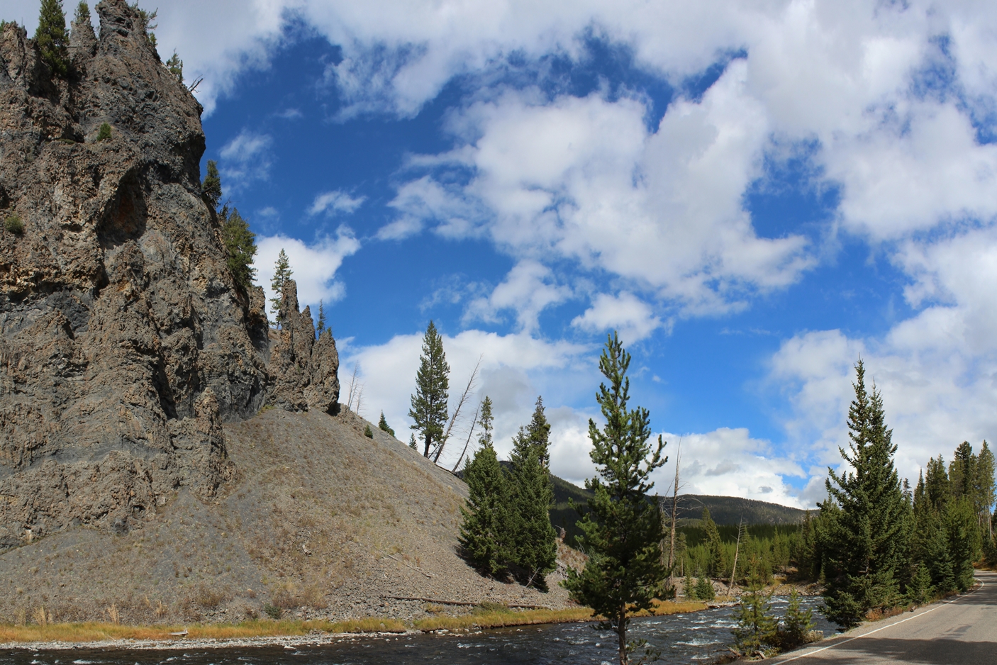
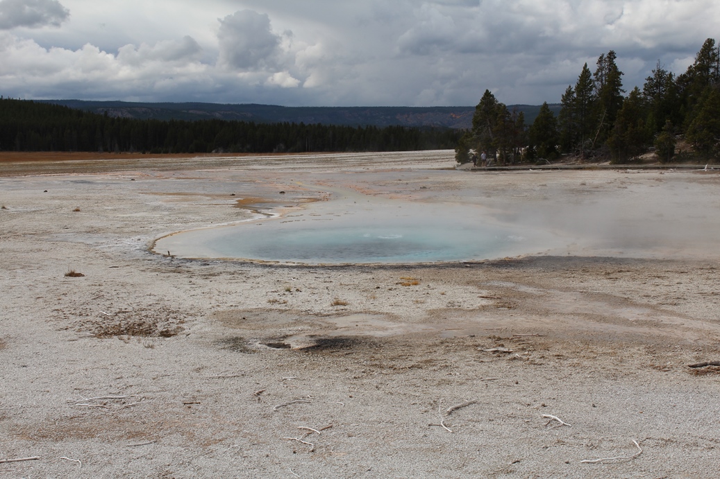
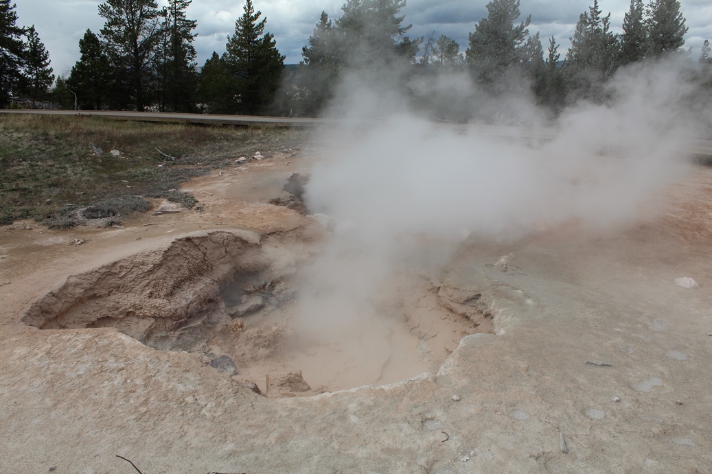
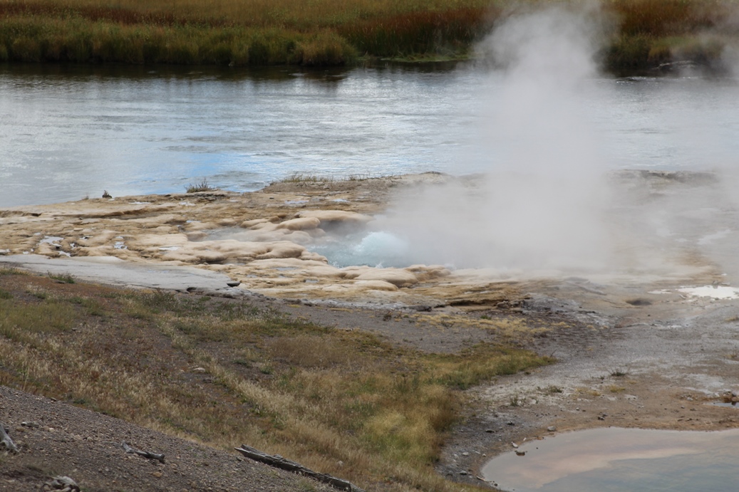
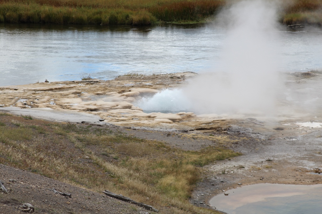
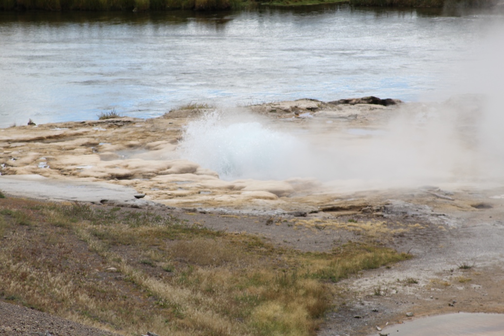
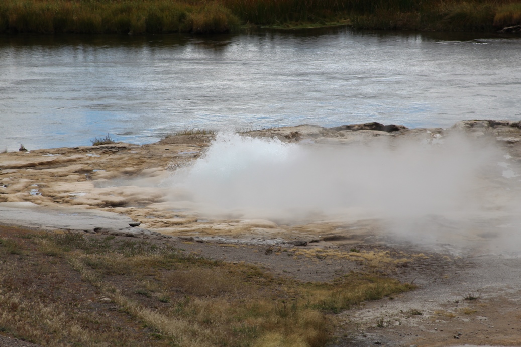
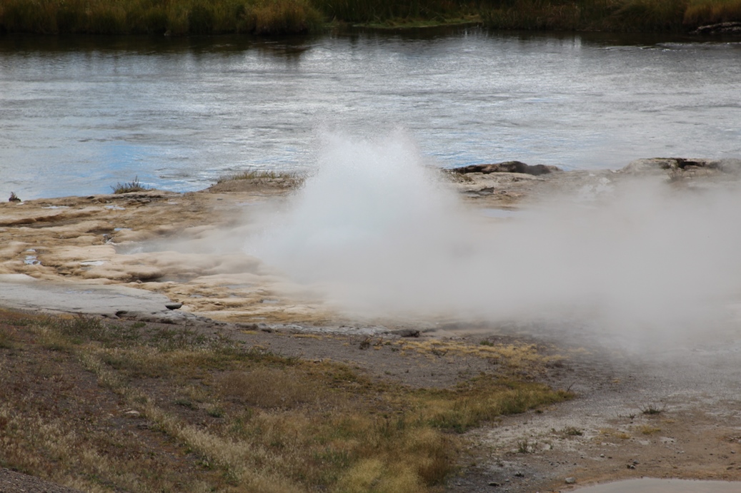
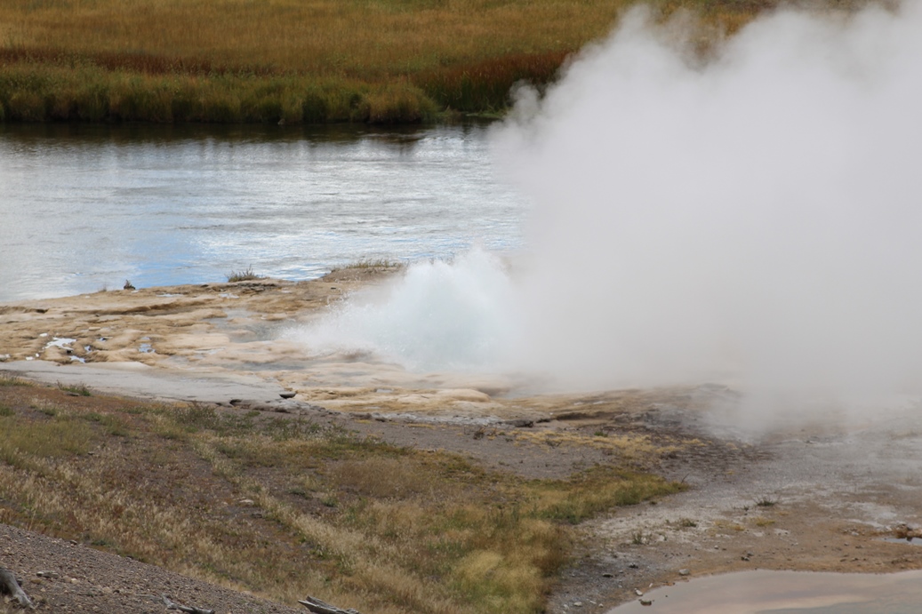
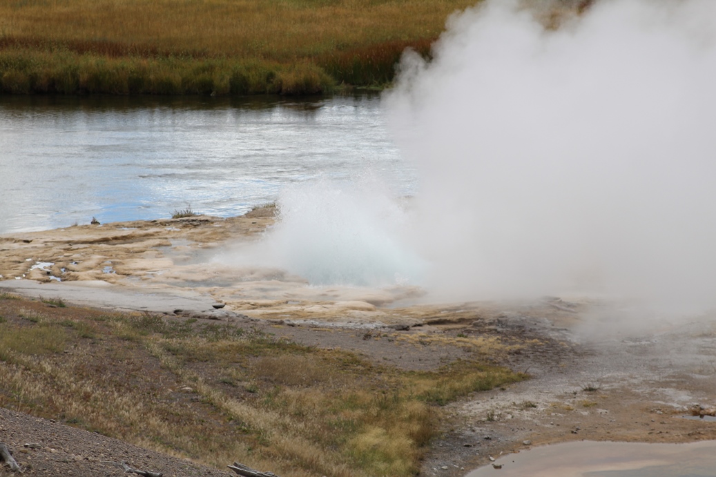
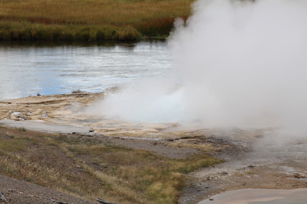
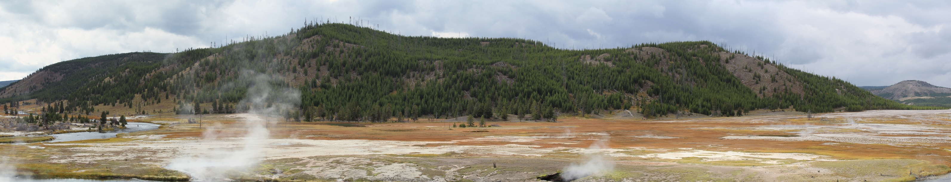
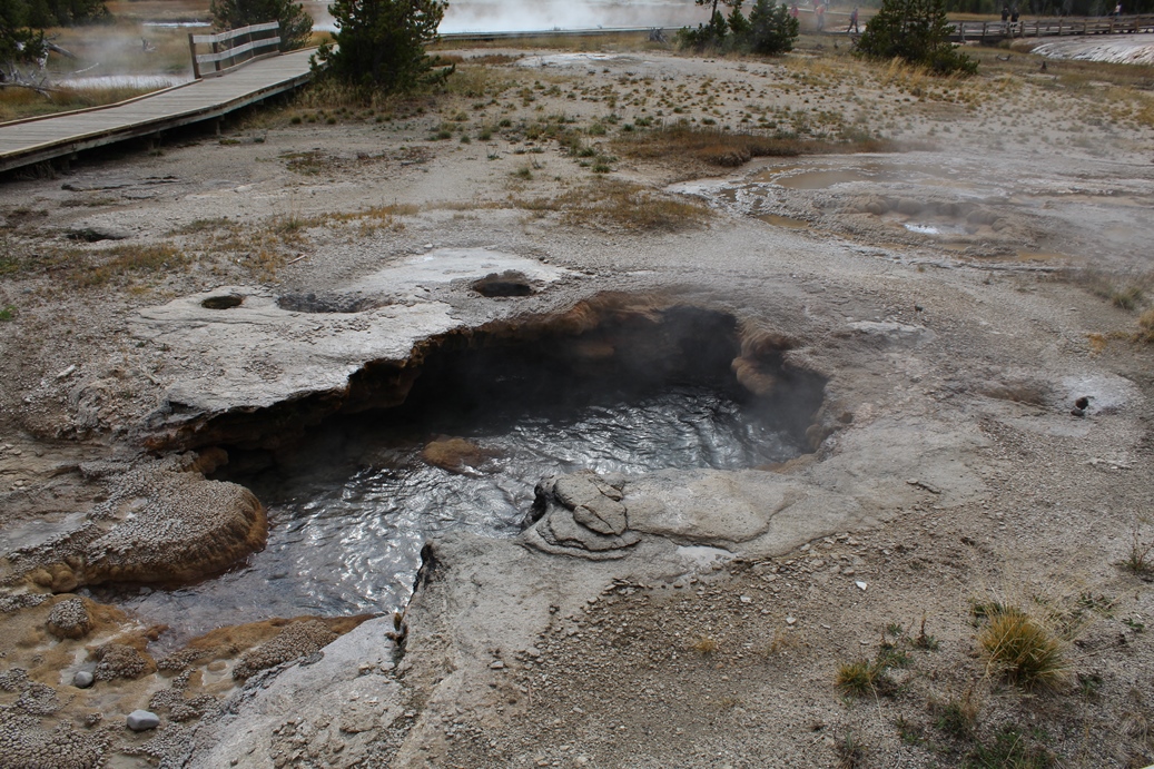
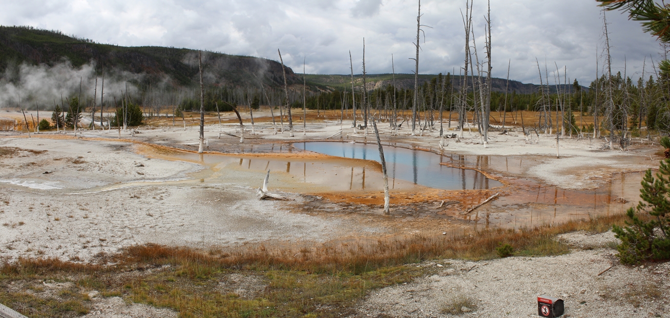
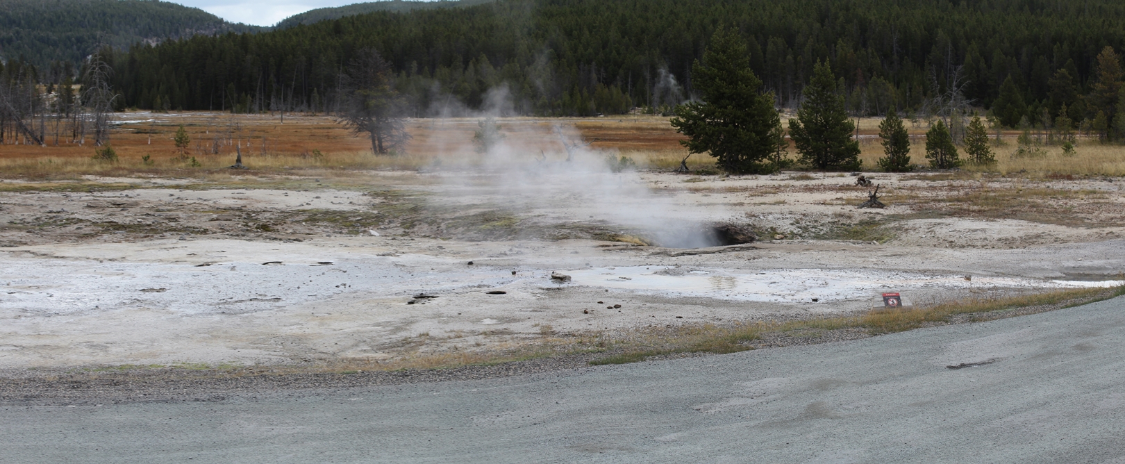
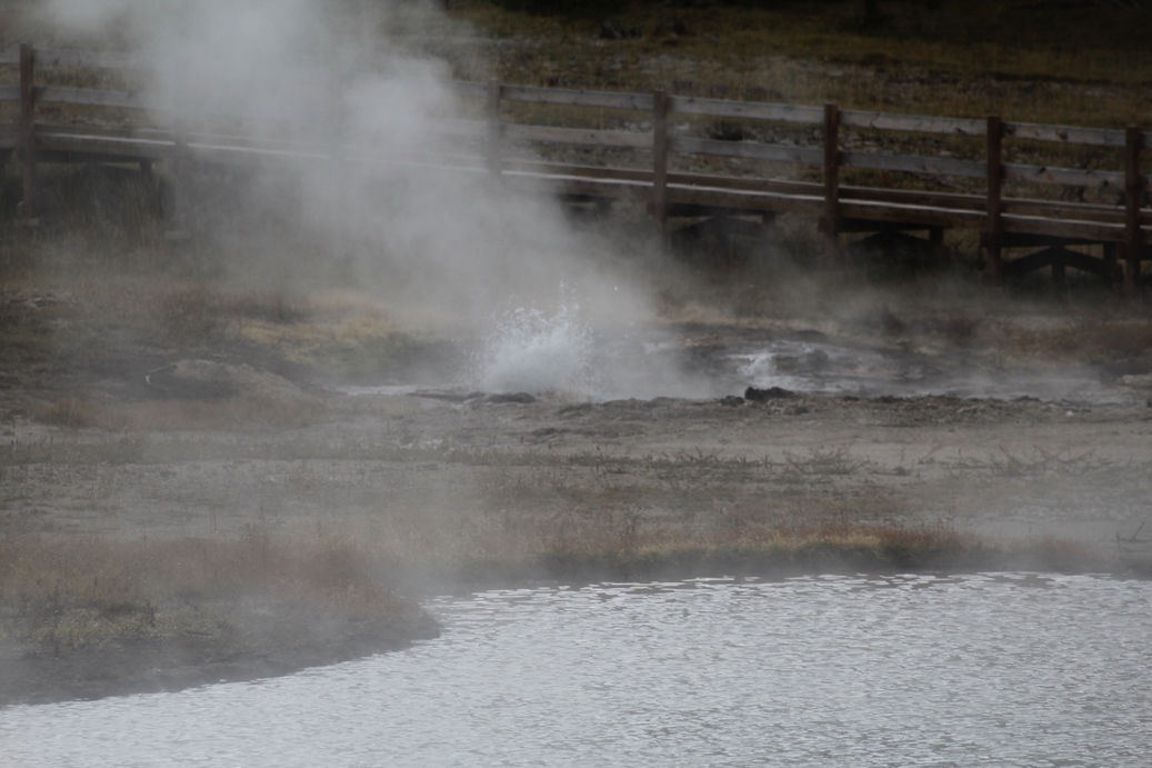
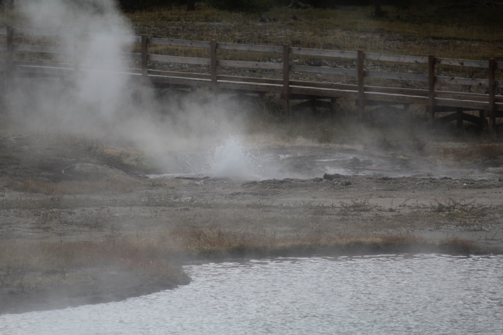
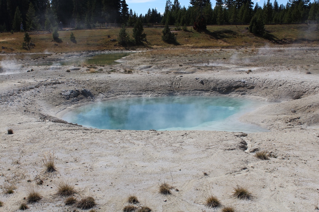
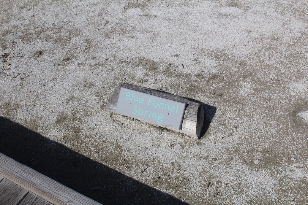
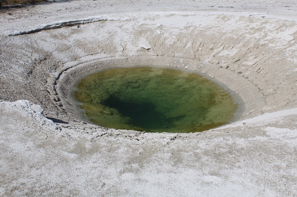
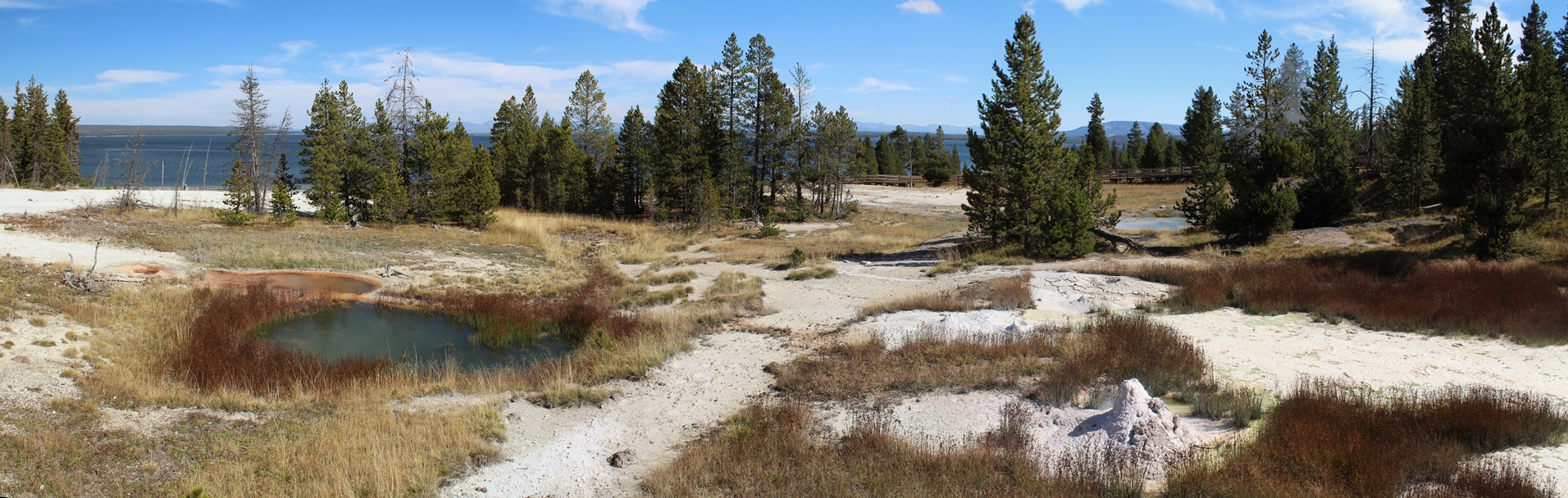
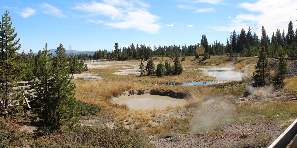
This
was just an interesting place to pull over along the
drive down to the Old Faithful area. The photos directly below are a series of a small
hot spring that we saw starting to bubble over and I
was fortunate enough to shots of most of the
activity.
|
(Click on Images for Larger Picture)
(Click on Images for Larger Picture)
|
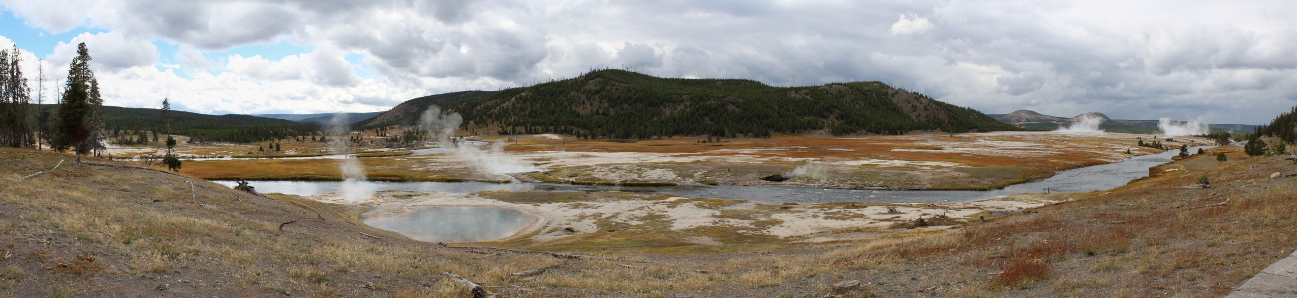
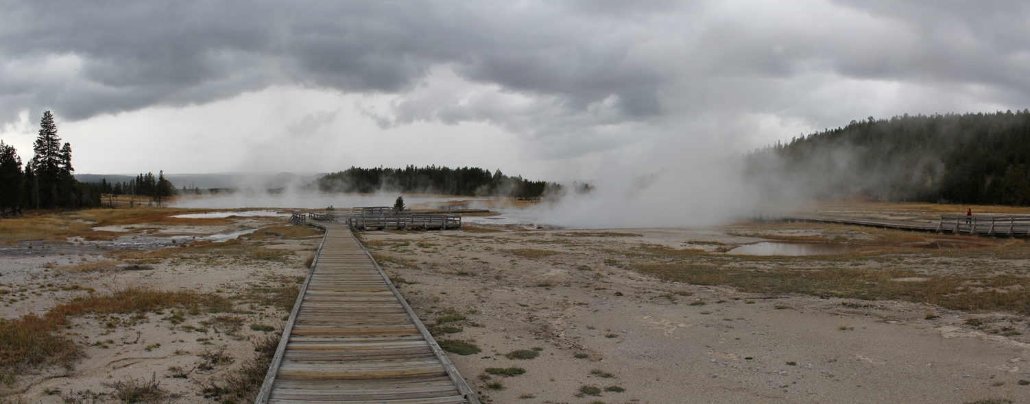
These two panoramic photos are of the valley that
the above hot spring is located. I was
surprised to see people walking along the base of
the hill in the distance before I realized it is a
hiking trail out to some other hot springs.
The parking lot is located on the left side of the
first panoramic in the extreme distance.
|
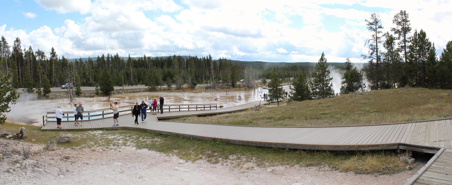
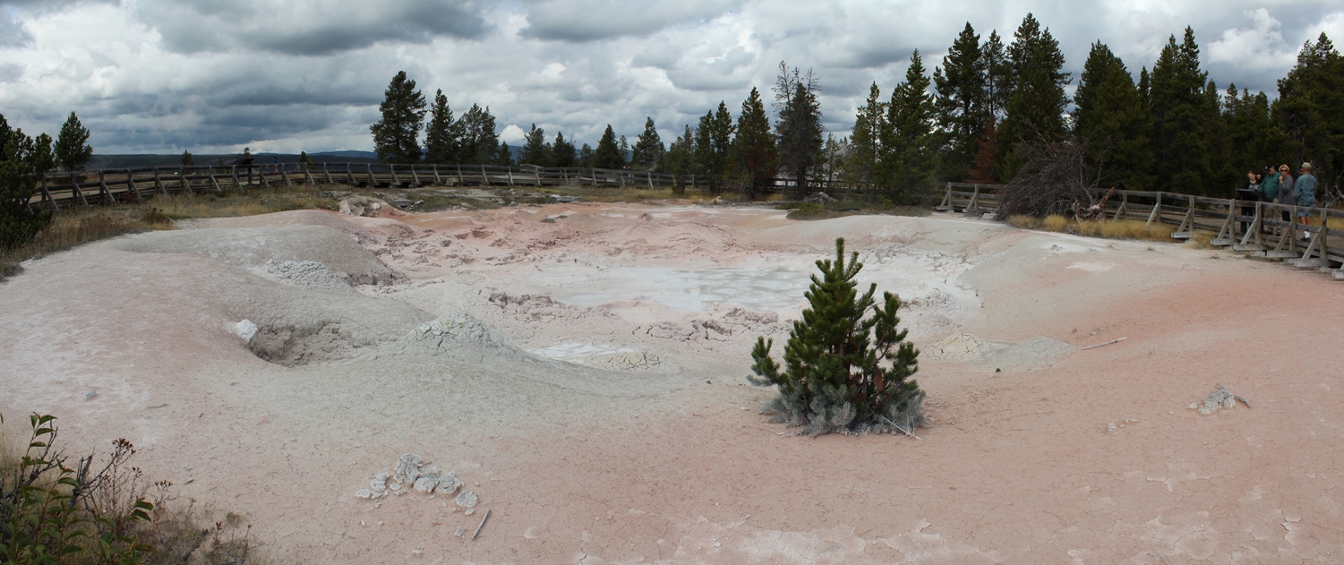
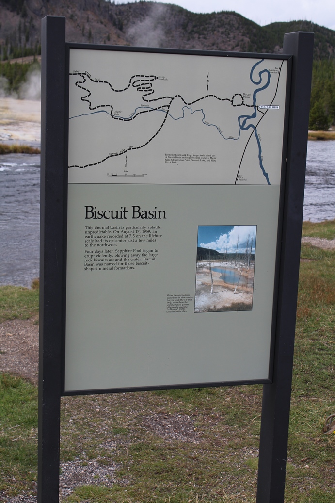
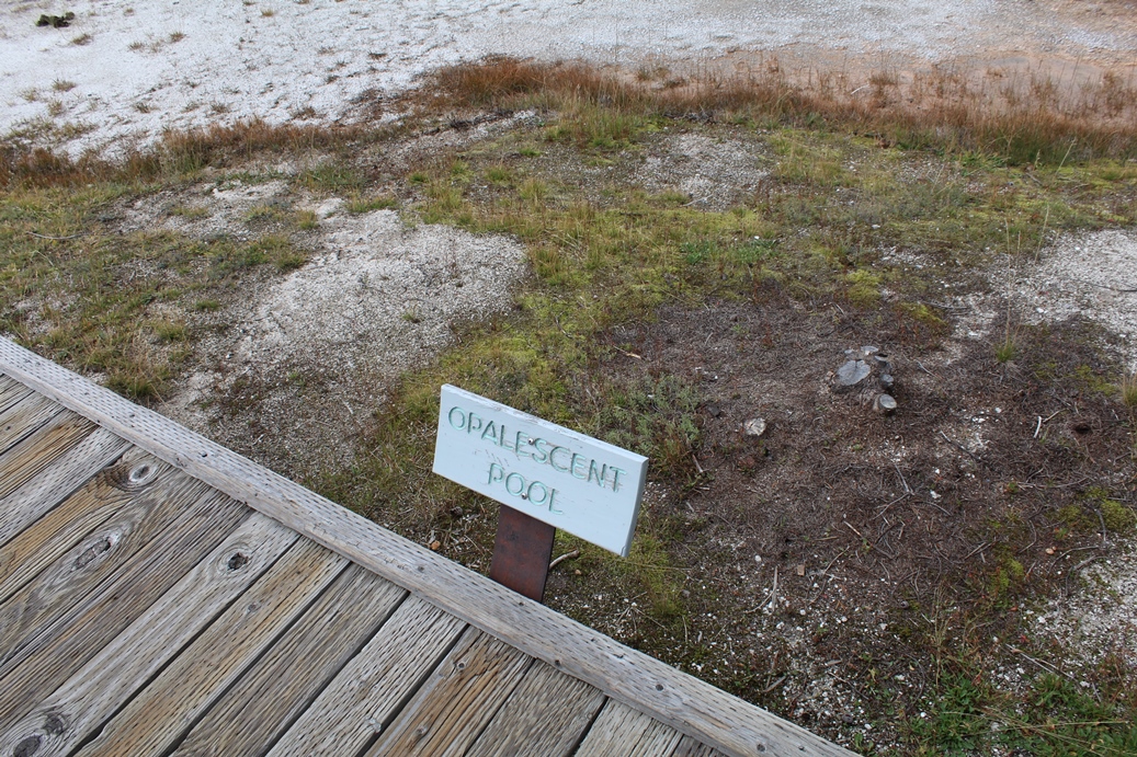
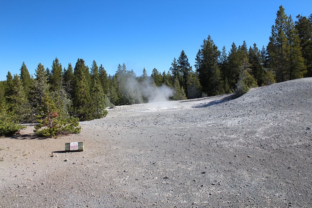
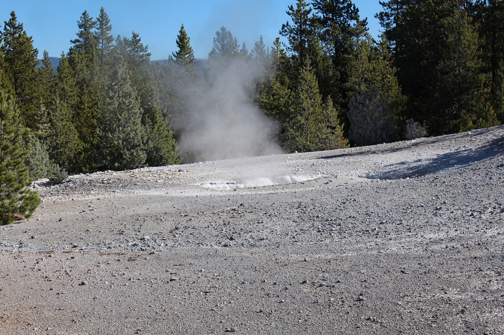
Biscuit Basin
(Click on Images for Larger Picture)
|
Our
next stop in the driving tour was Biscuit Basin.
I was going to take a stroll a little farter down
the path, but there were few people in the area and
it looked to be a little longer than I wanted to
stray way from Lisa and Sammy. I would like to
take time to point out the sign in the second
picture. It is a warning sign that is posted
at all locations like this warning people to stay on
the paths. There are a lot of hidden dangers
beneath the ground and you never know where you are
stepping.
|
Panoramic
(Click on Images for Larger Picture)
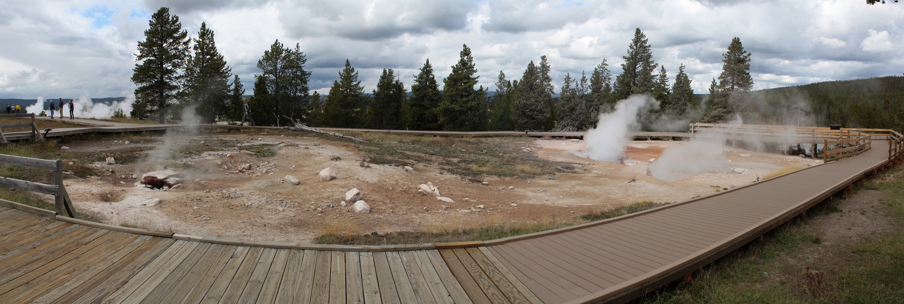
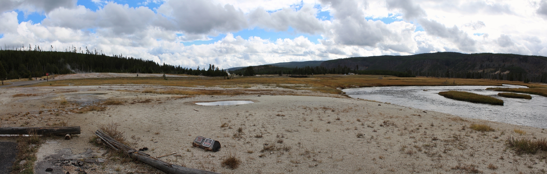
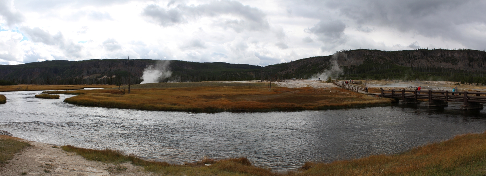
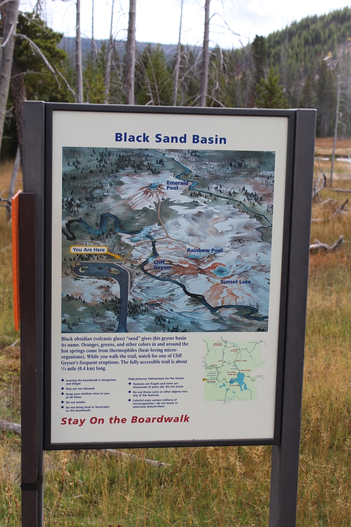
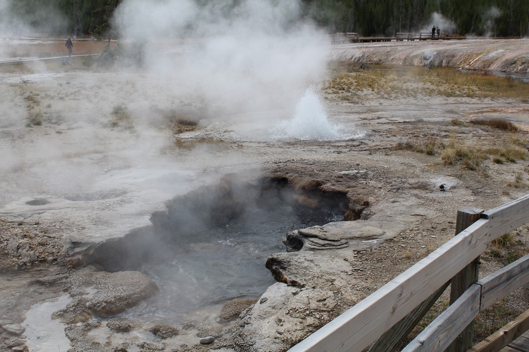
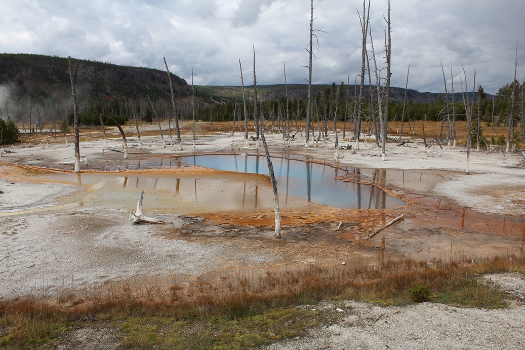
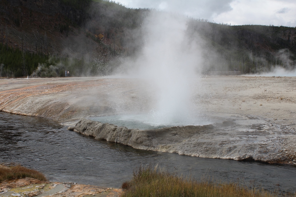
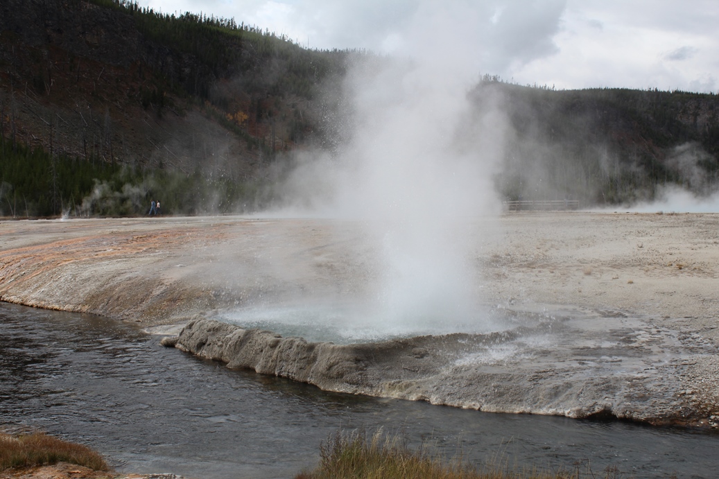
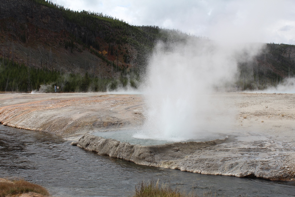
Black Sand Basin
(Click on Images for Larger Picture)
|
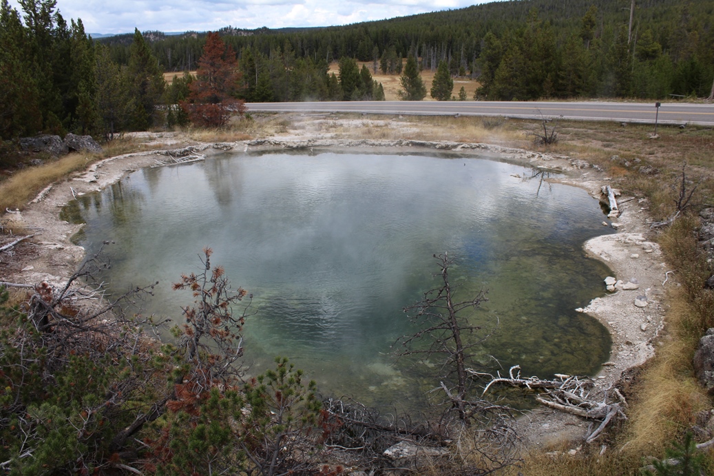
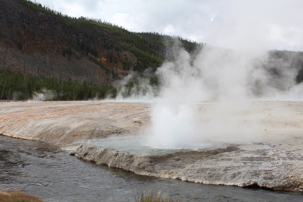
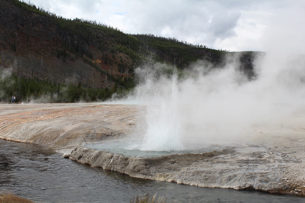
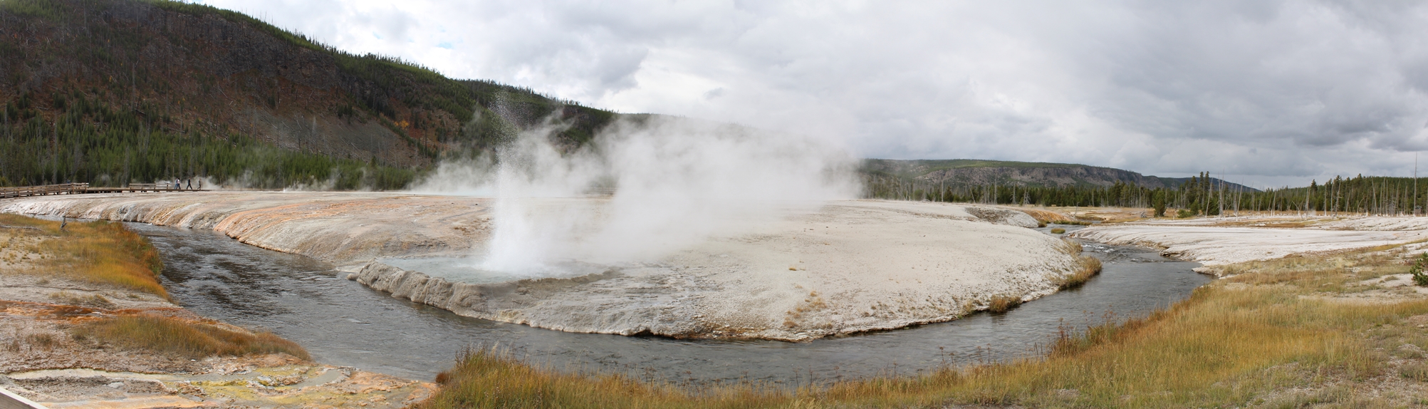
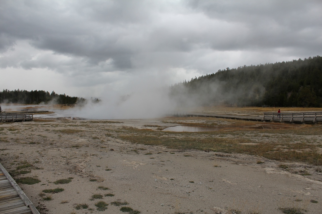
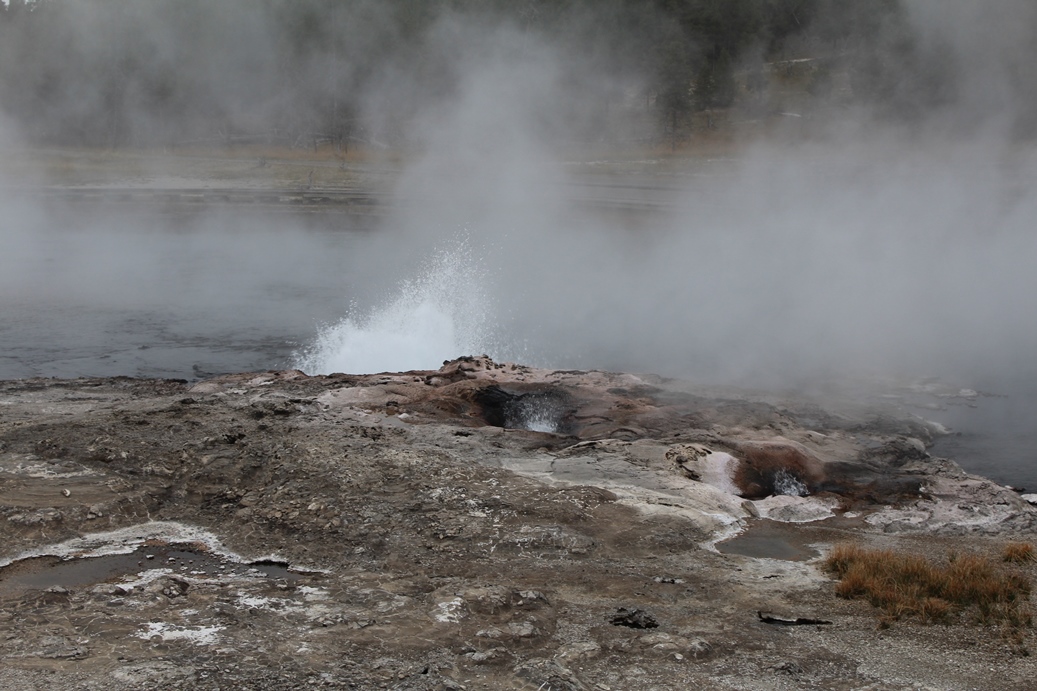
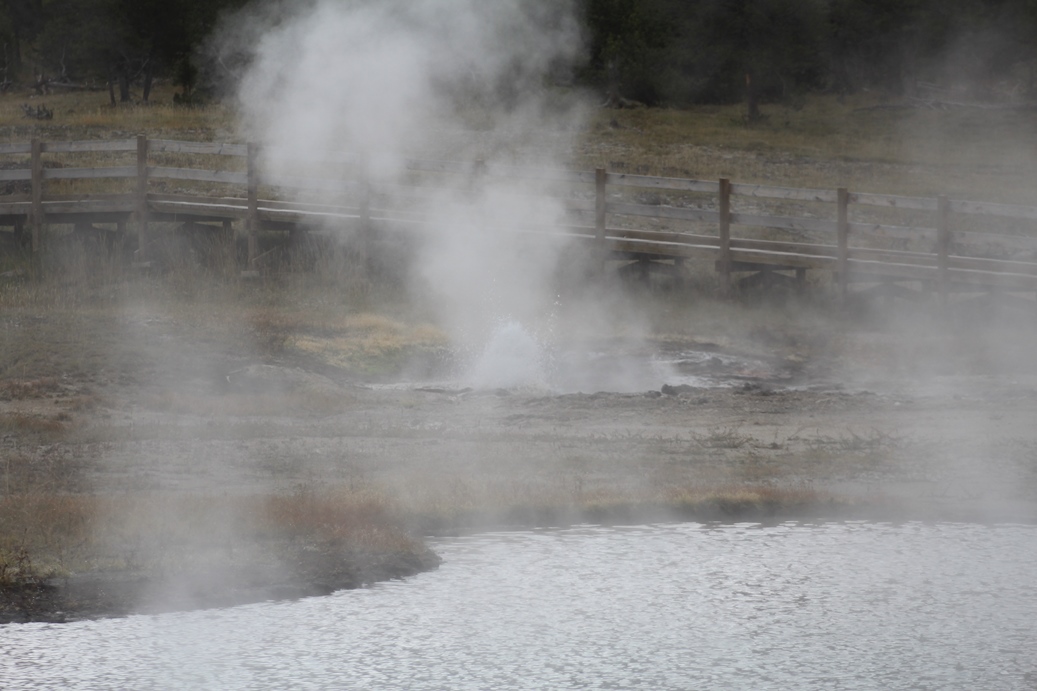
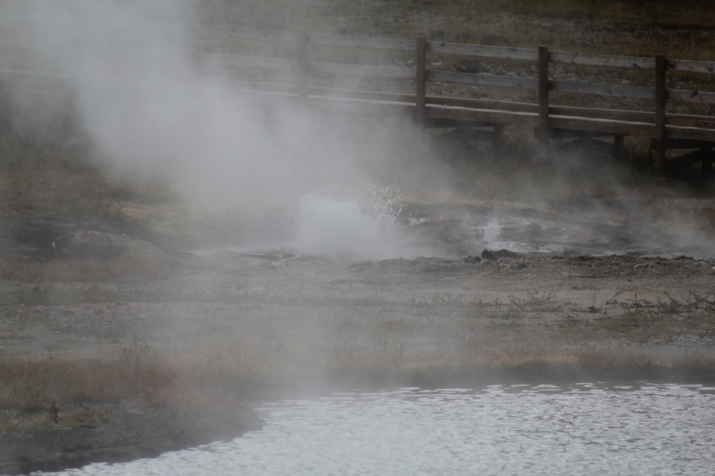
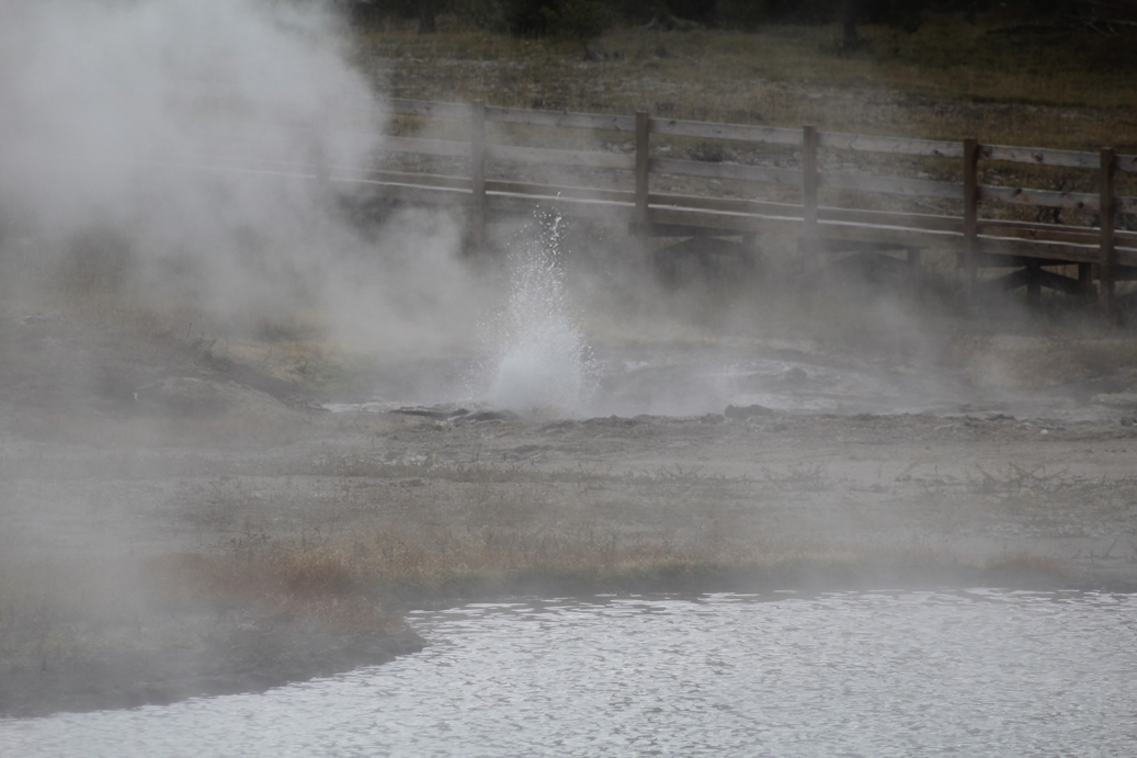
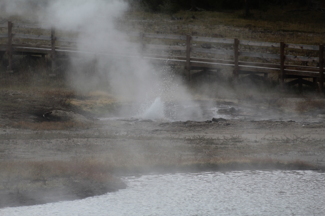
I
liked this stop at Black Sand Basin because I did
not have to stray too far from the parking lot to
get a good view of the geysers and hot springs.
The photo series below is of a small geyser that was
going really well when we arrived.
|
(Click on Images for Larger Picture)
Panoramic
(Click on Images for Larger Picture)
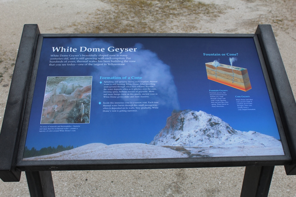
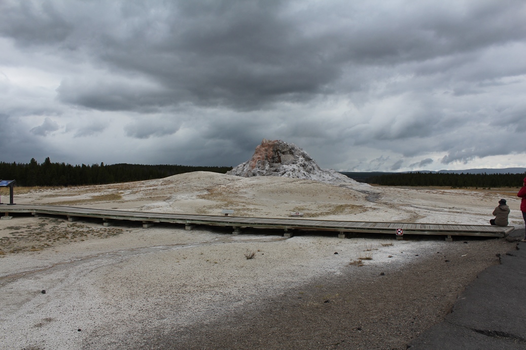
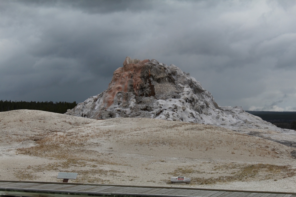
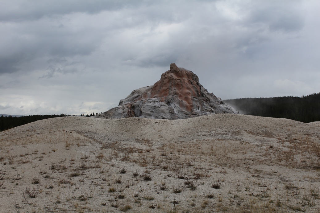
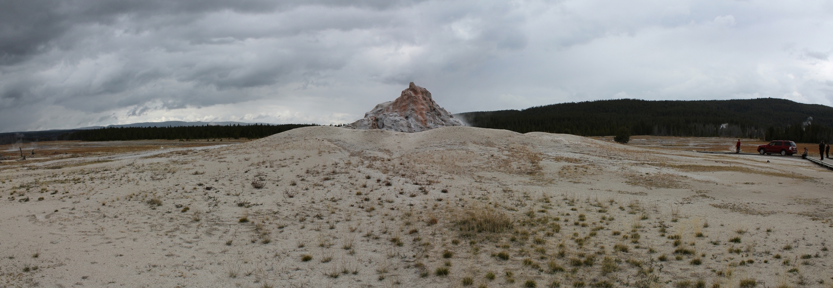
White Dome Geyser
(Click on Images for Larger Picture)
|
White Dome Geyser is centuries old, according the
description in the marker sign, and is one of the
largest cone geysers in Yellowstone.
|
Panoramic
(Click on Images for Larger Picture)
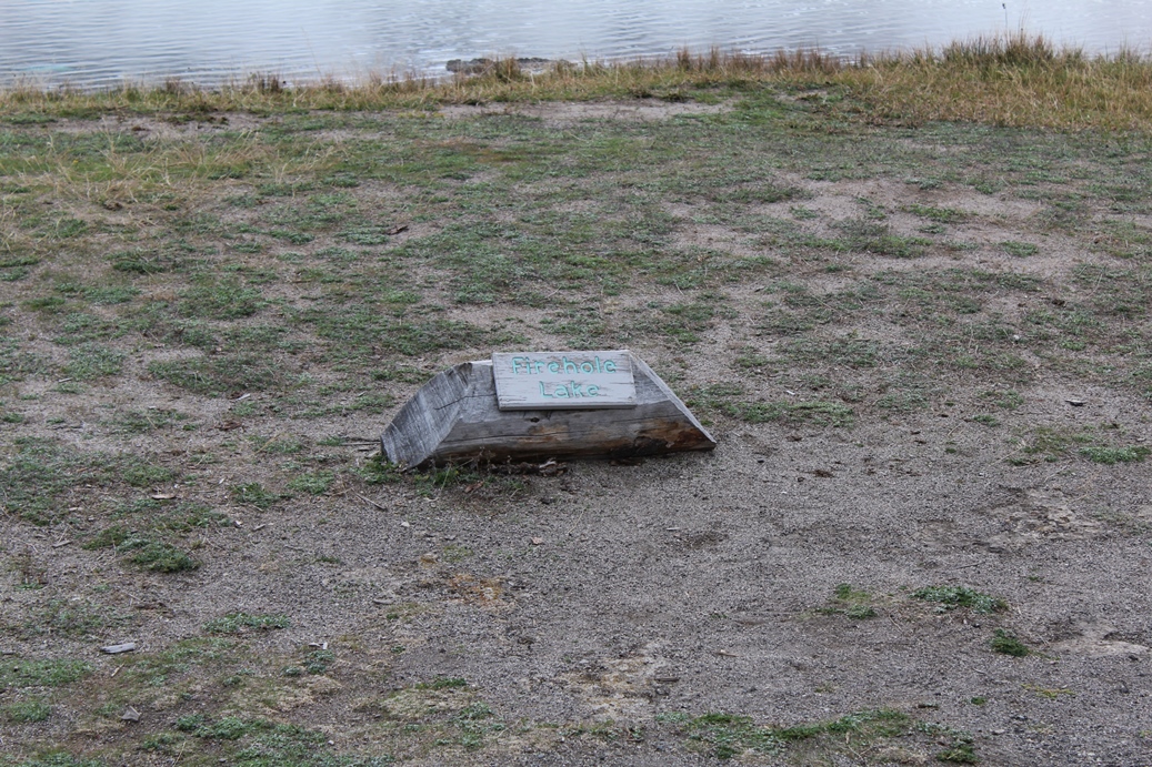
Firehole Lake
(Click on Images for Larger Picture)
|
Firehole Lake sort of lives up to its name.
There were a few hot springs that were boiling over,
but I thought the small creek that ran through this
area with steam coming off of its surface was really
interesting. The series below is of another
small spring boiling over.
|
(Click on Images for Larger Picture)
Panoramic
(Click on Images for Larger Picture)
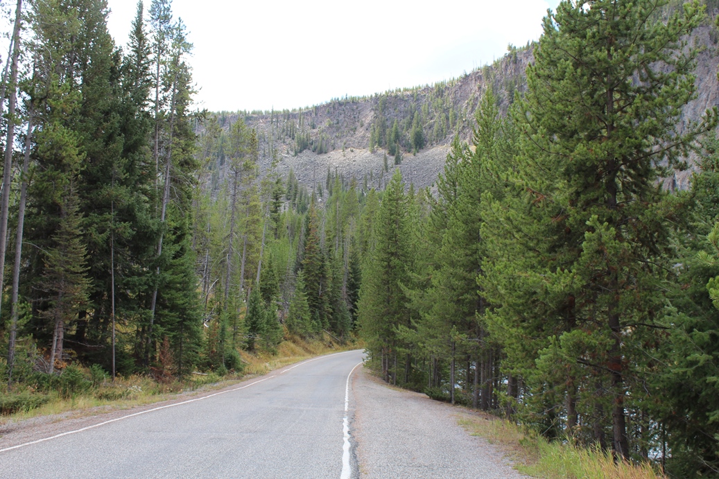
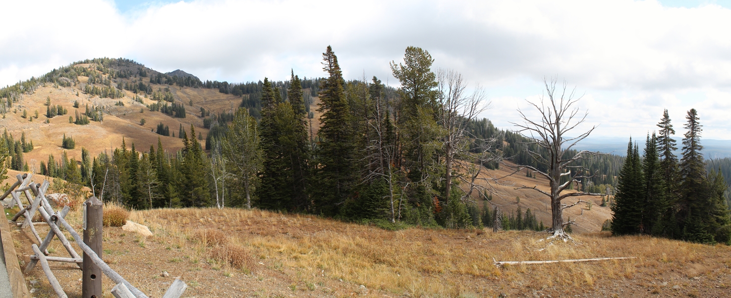
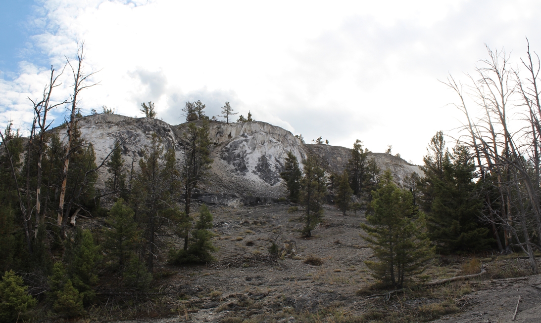
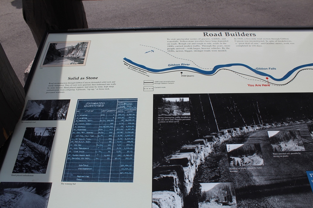
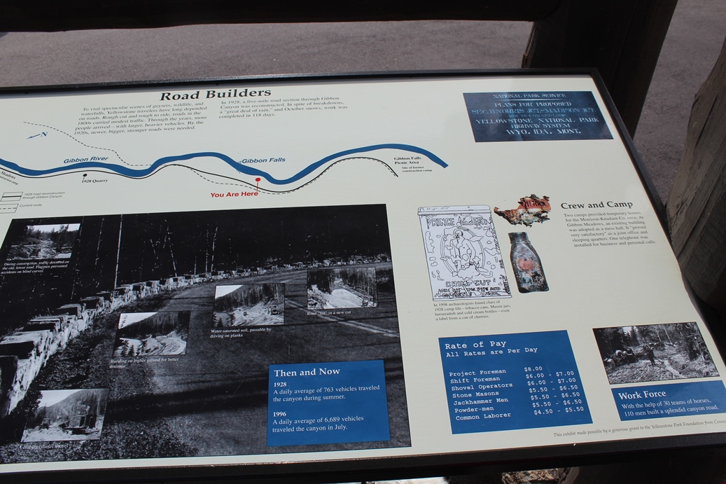
Drive from Canyon Village to Tower-Roosevelt
(Click on Images for Larger Picture)
|
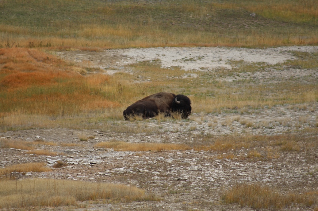
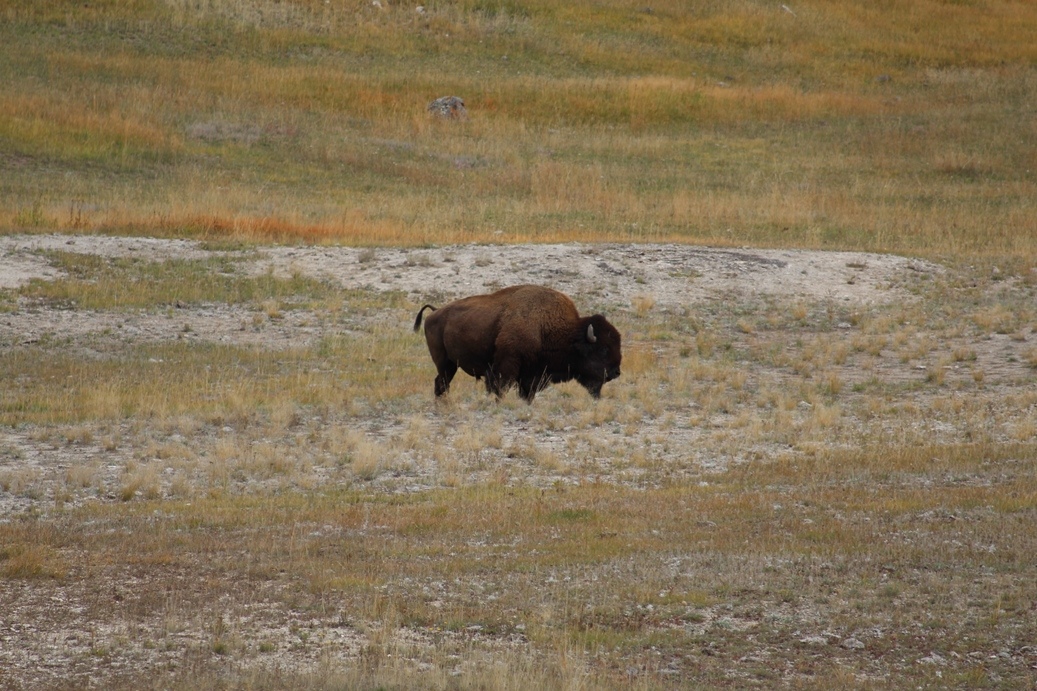
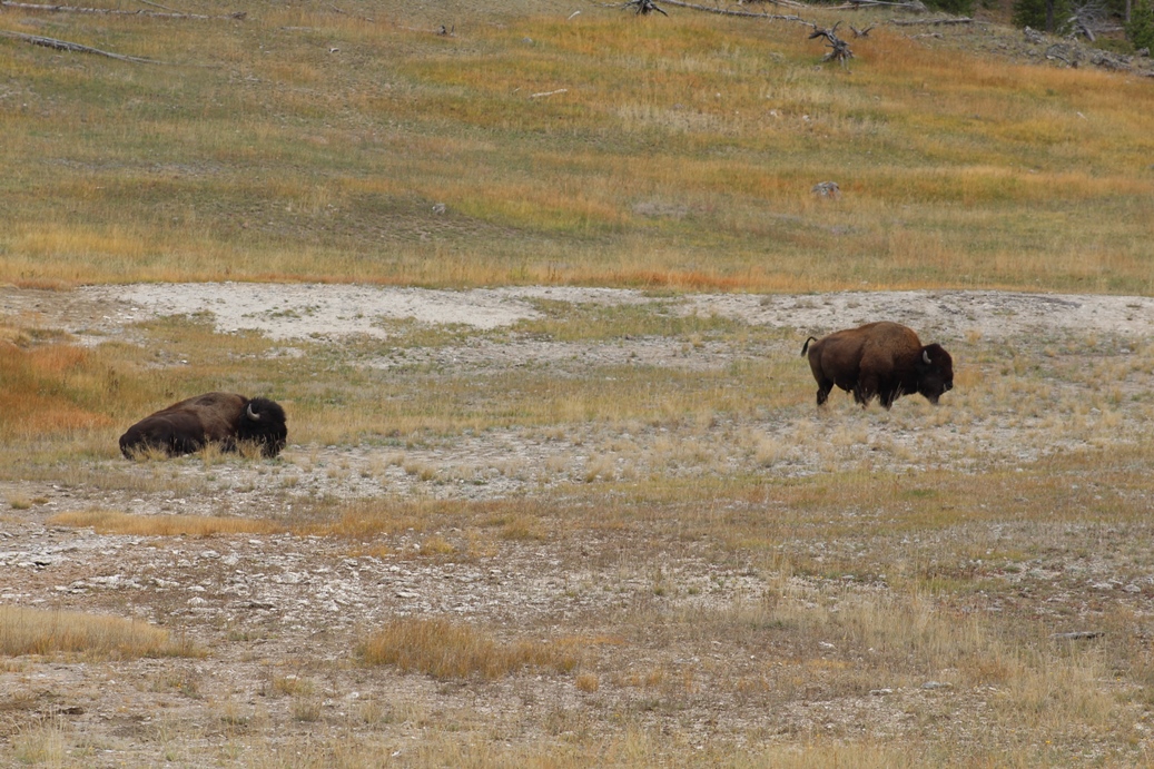
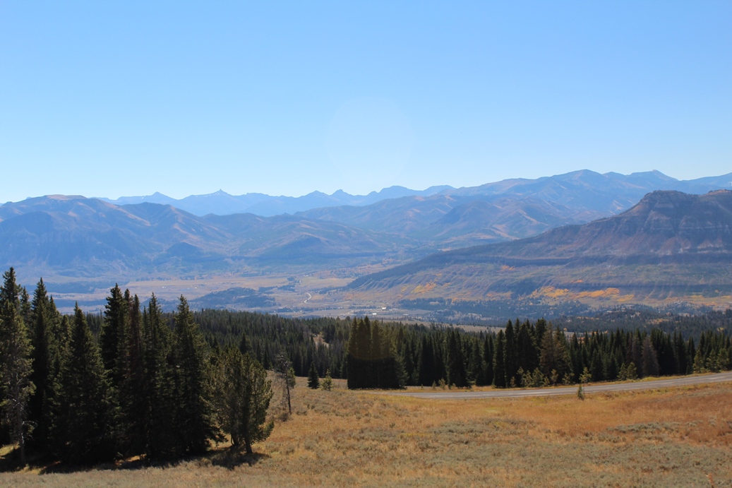
This
was day three of our trip to Yellowstone and believe
it or not, this was the first time we were close
enough to some Bison to get a few really good shots.
And this as with a telephoto lens. This as on
our drive from the campground up to Mammoth Hot
Springs.
|
(Click on Images for Larger Picture)
|
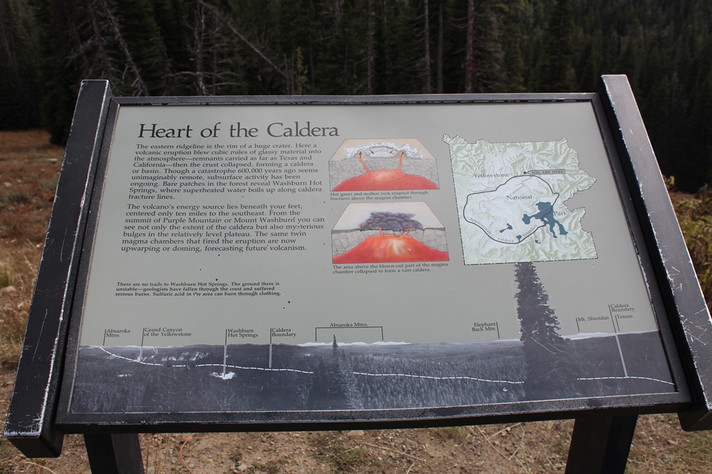
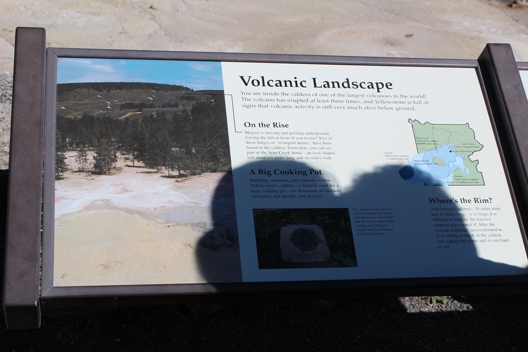
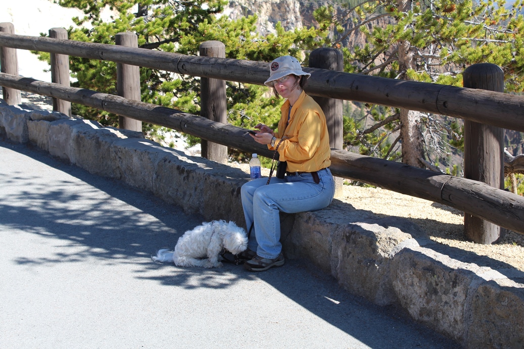
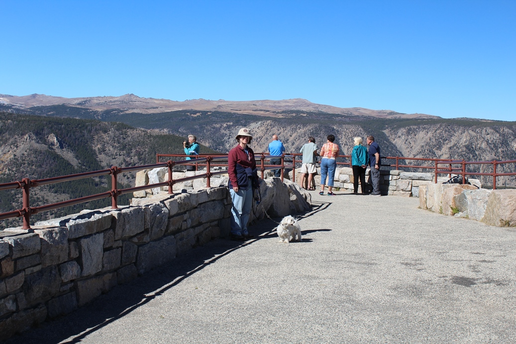
There are a few good pull offs that allow you a
great view of the center of the caldera. If
you visit Yellowstone, keep in mind that it is a
massive volcano. That is the reason behind all
of the hot springs and geysers.
|
Panoramic
(Click on Images for Larger Picture)
(Click on Images for Larger Picture)
|
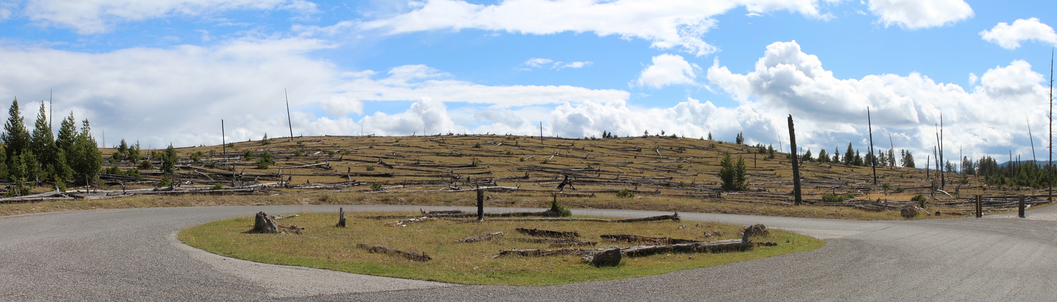
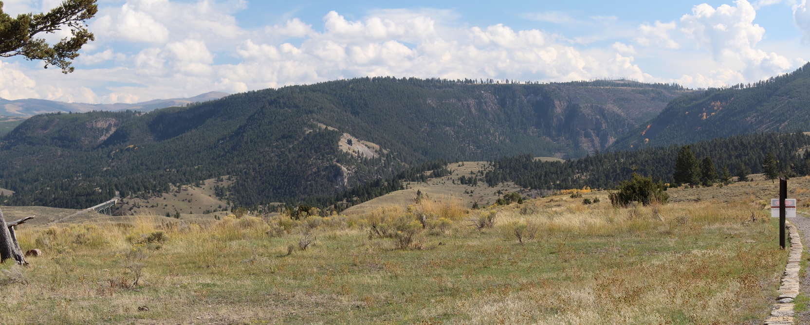
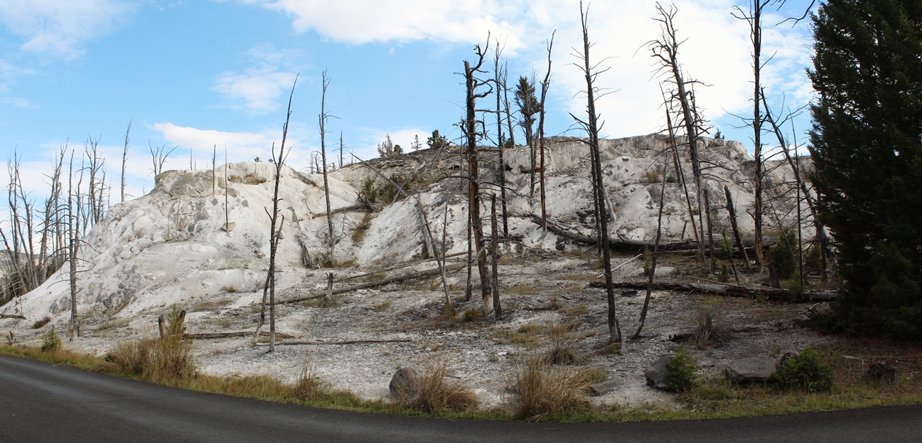
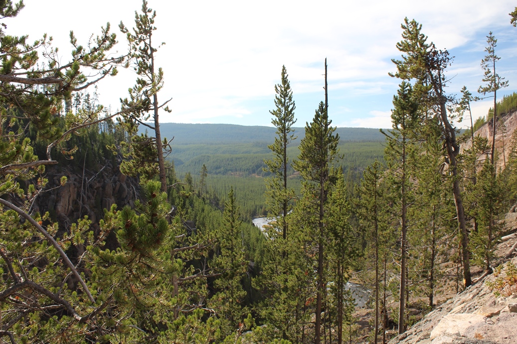
This
was after we started coming down out of the hills.
These photos are taken looking roughly northwest.
It is interesting to see how the area is starting to
recover from the wildfires.
|
Panoramic
(Click on Images for Larger Picture)
(Click on Images for Larger Picture)
|
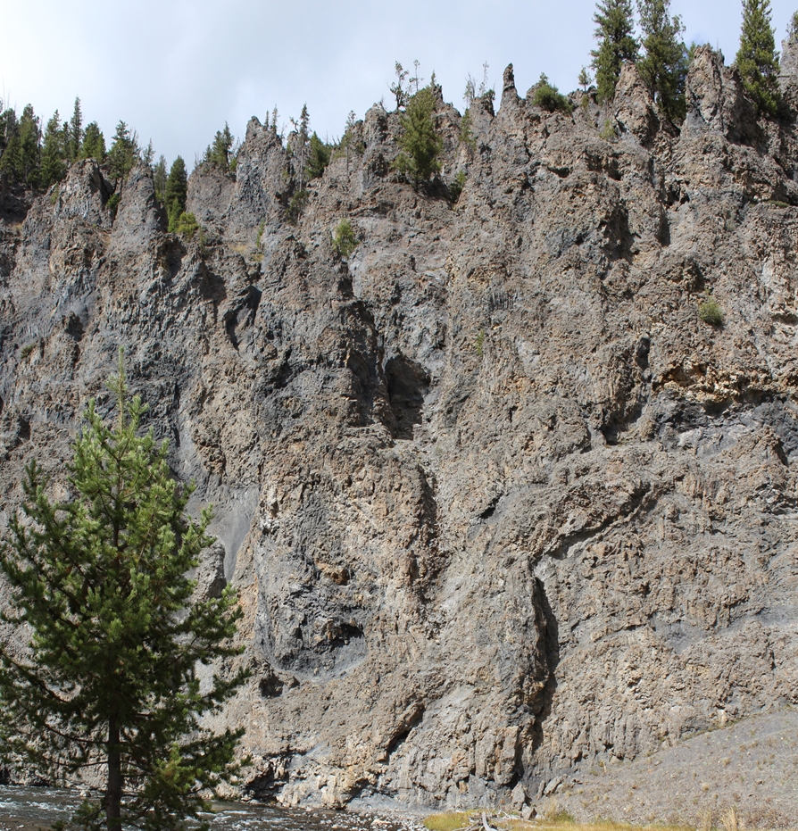
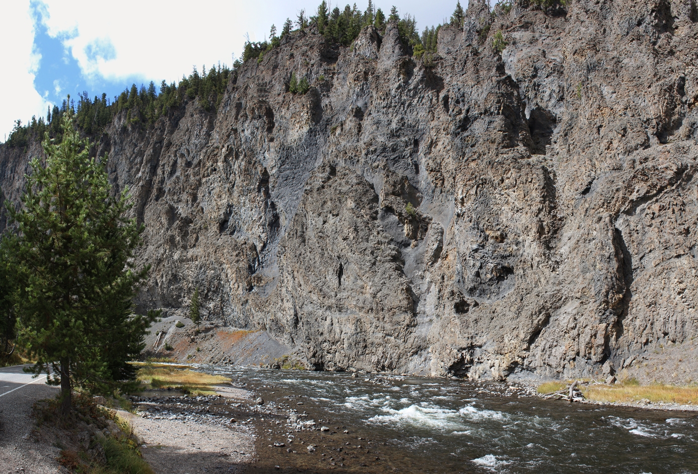
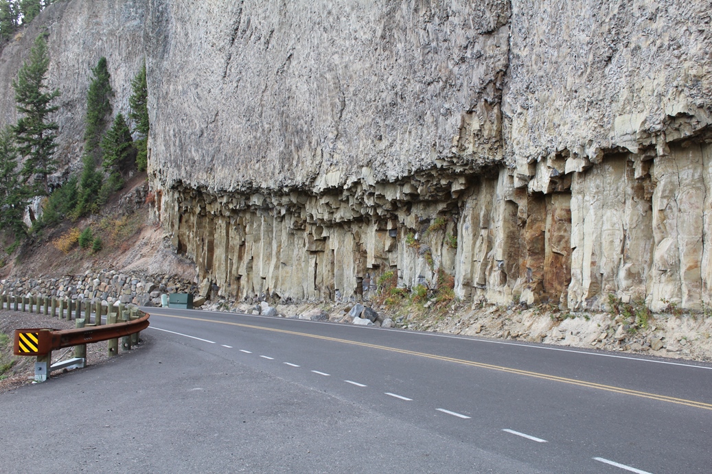
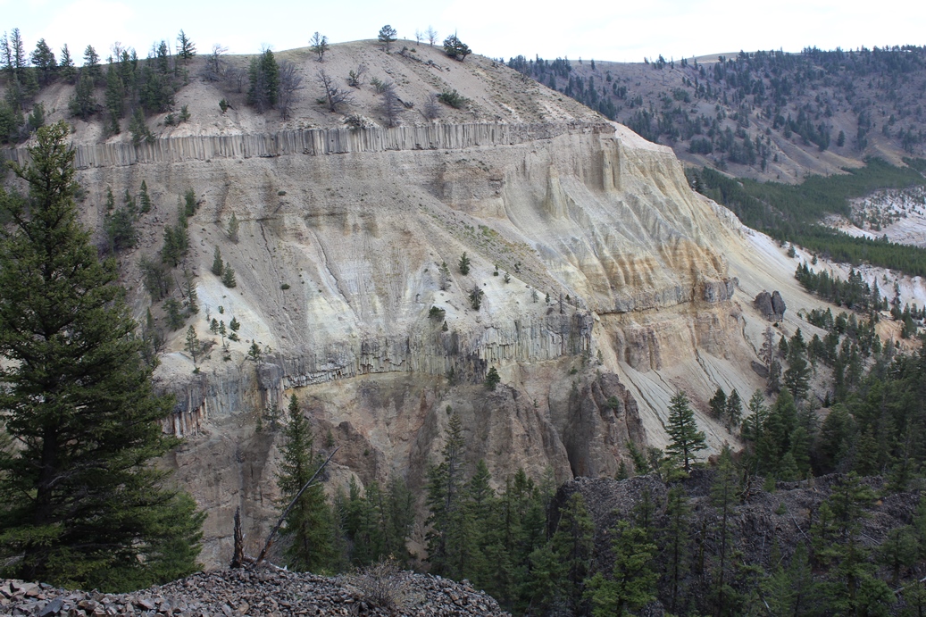
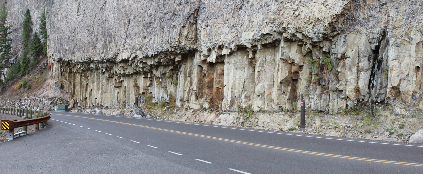
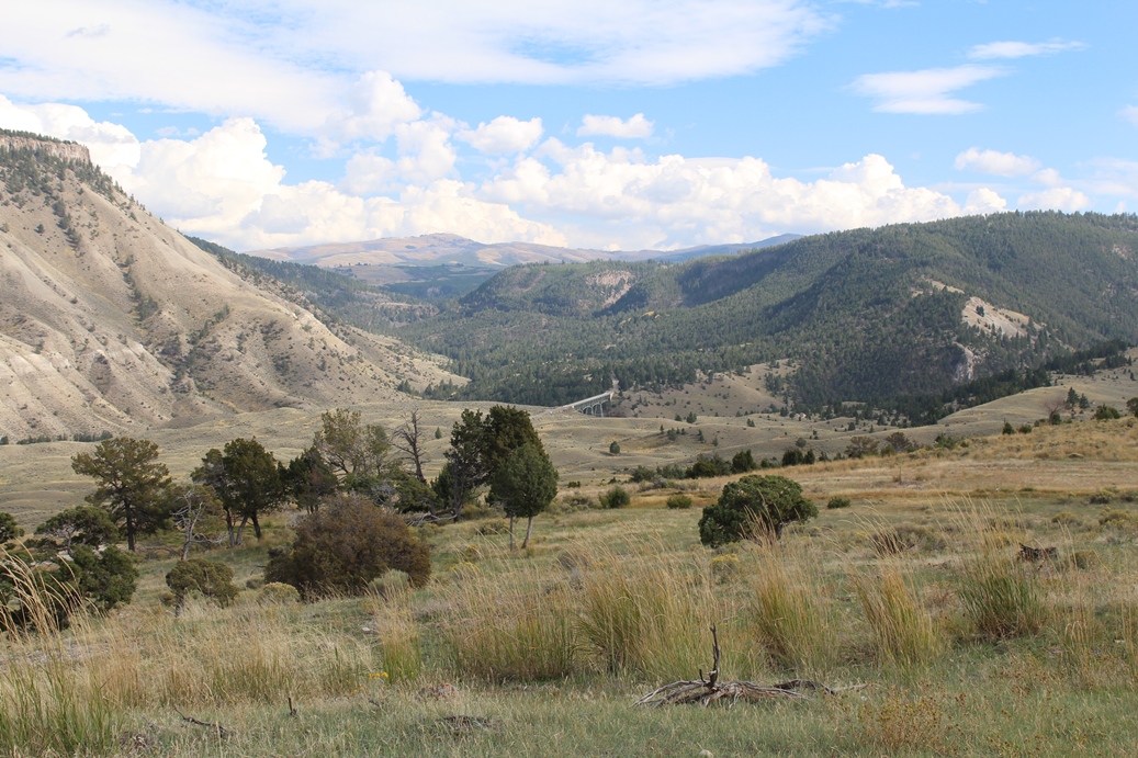
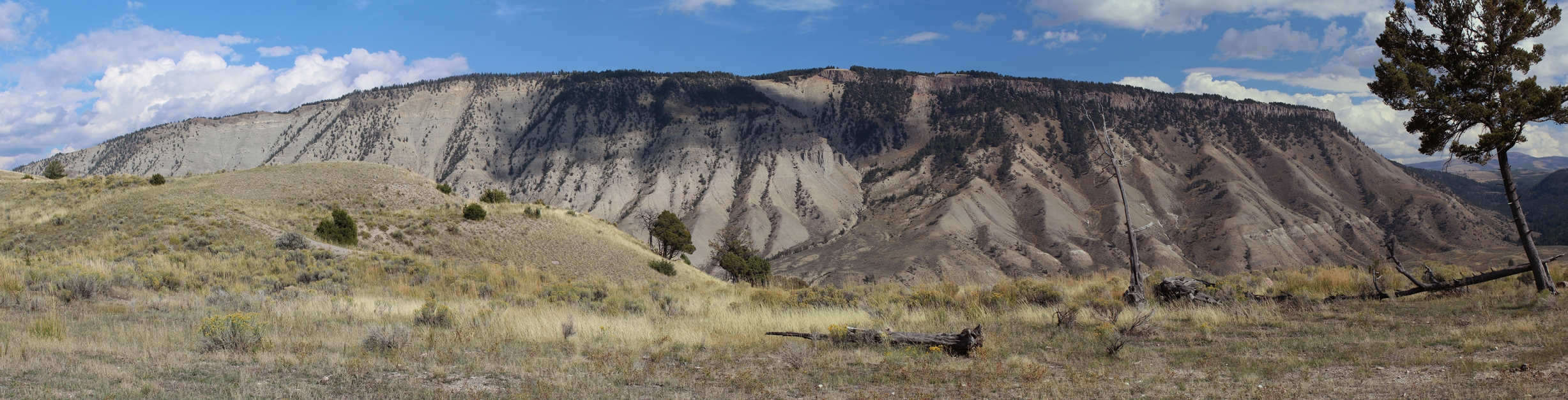
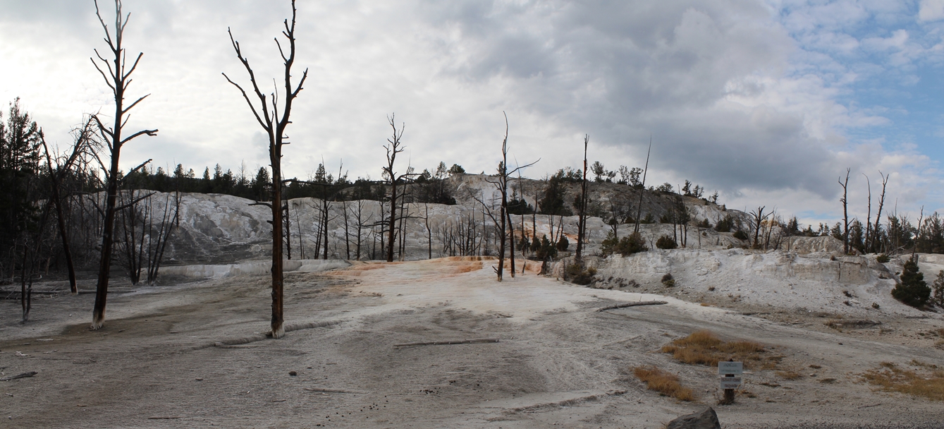
This
is a neat area geologically speaking. It is
around the Tower-Roosevelt area, but I cannot
remember if it was before or after that junction.
|
Panoramic
(Click on Images for Larger Picture)
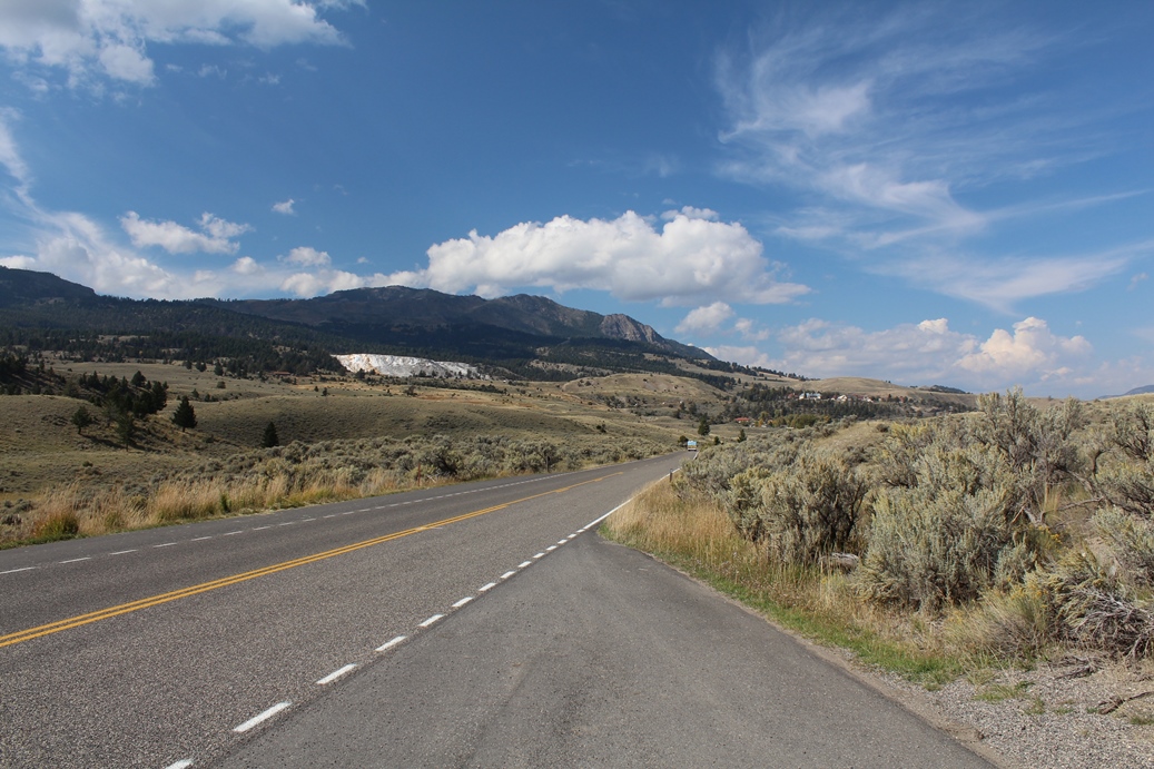
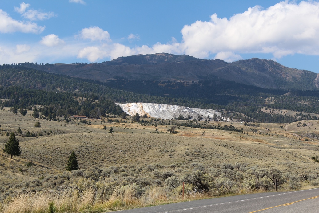
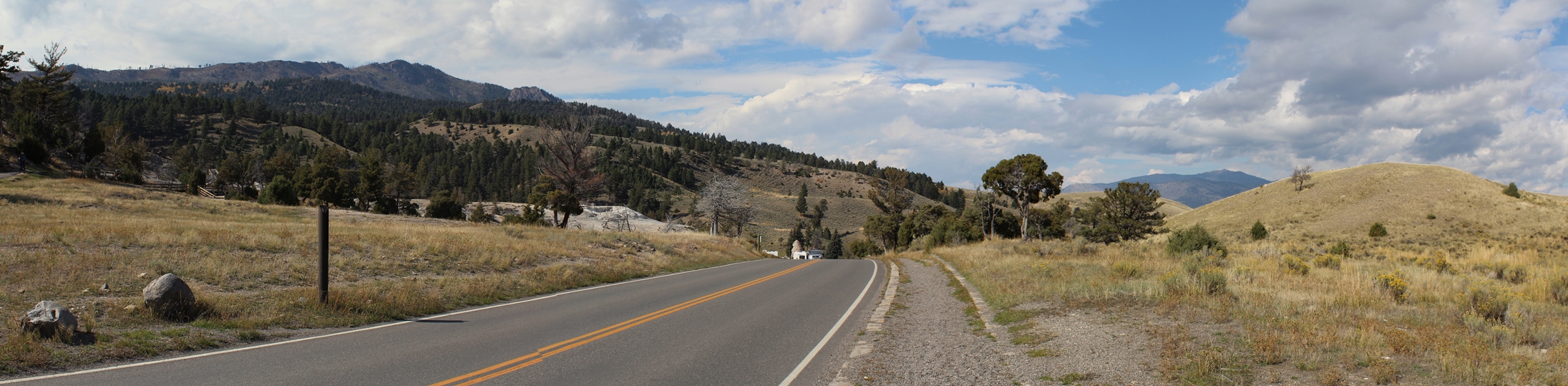
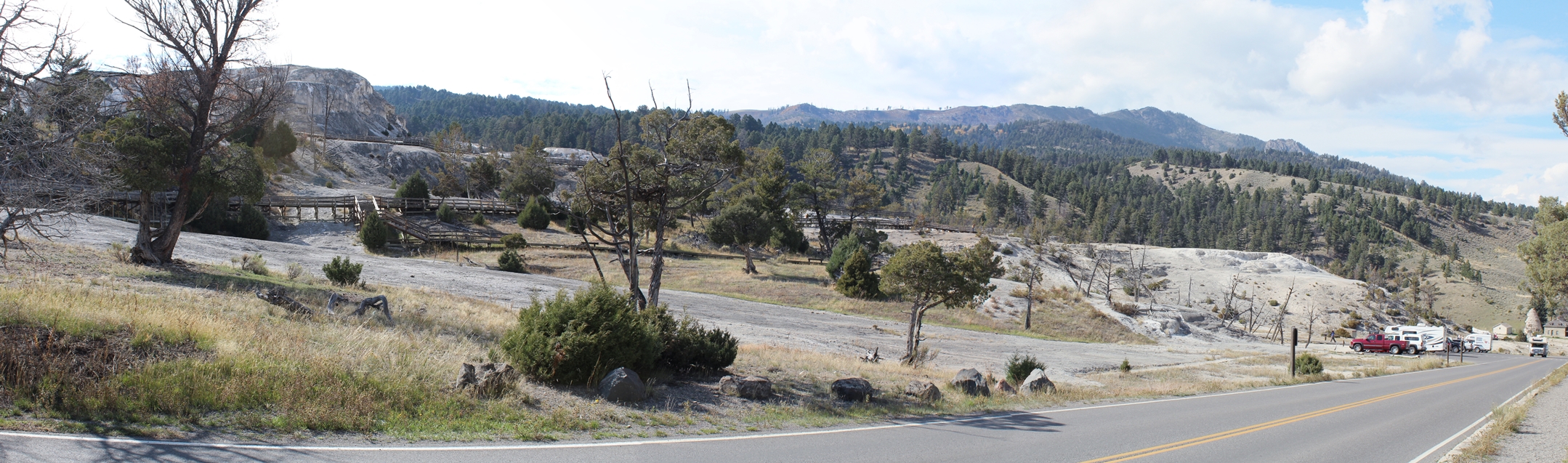
Mammoth Hot Springs
(Click on Images for Larger Picture)
|
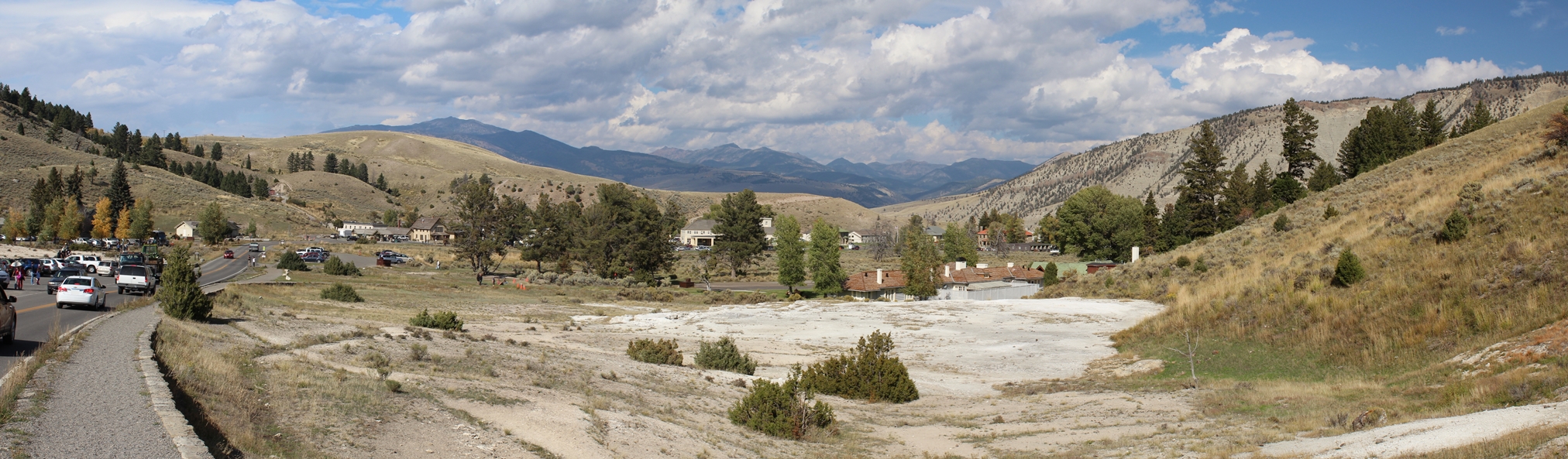
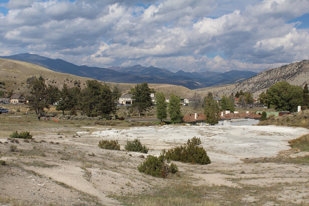
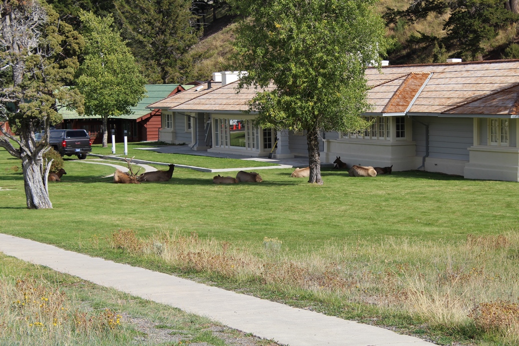
Mammoth Hot Springs was one of the earliest
settlements in Yellowstone, and is still a hub of
tourism today. It is located in the
northwestern part of the park and is open year
round. If you want a good place to watch the
Elk, this is a great location for that. But
please use caution around them and follow park rules
when encountering them. Not only for your
safety, but for theirs as well. Remember, this
is their home and we are just visitors.
|
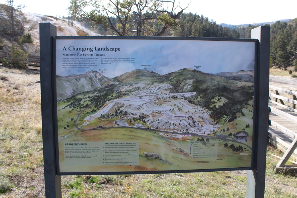
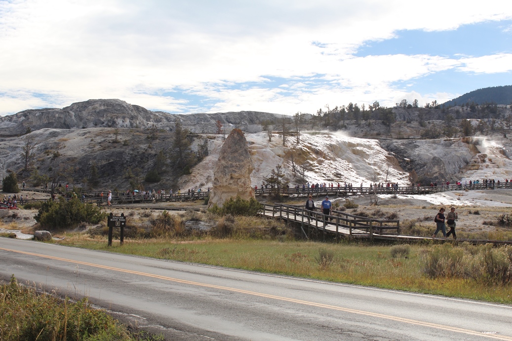
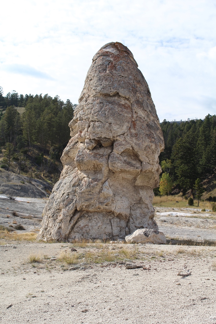
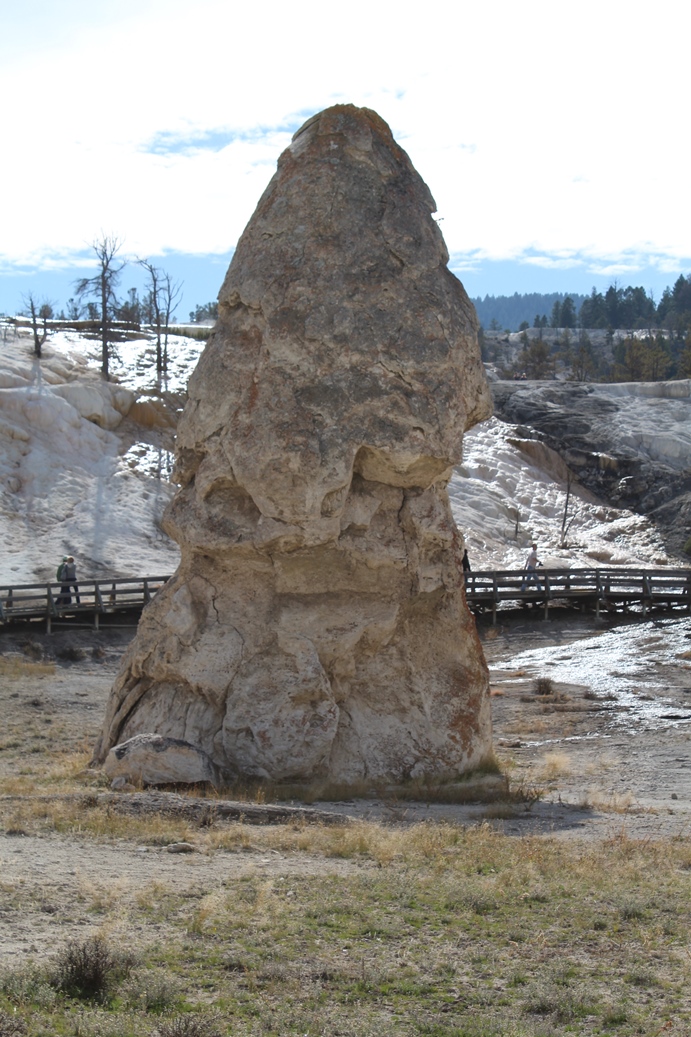
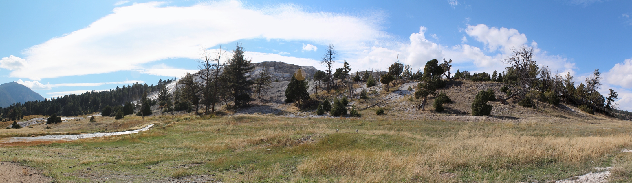
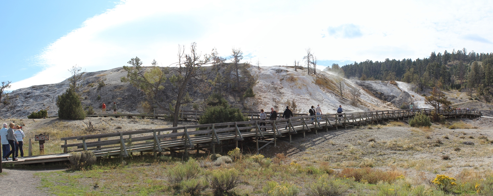
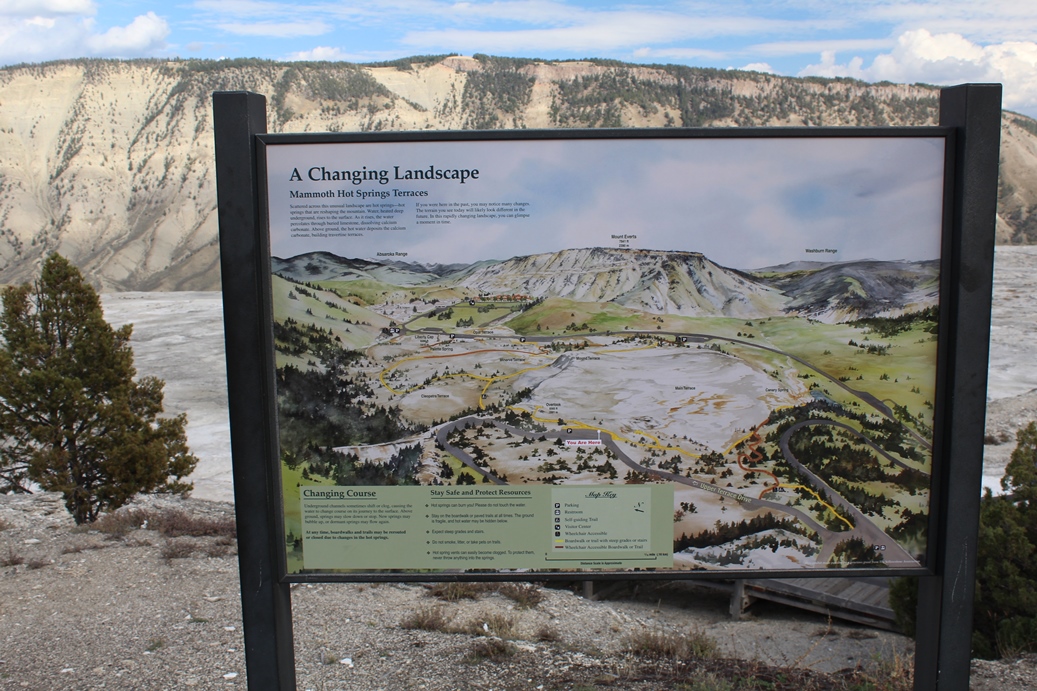
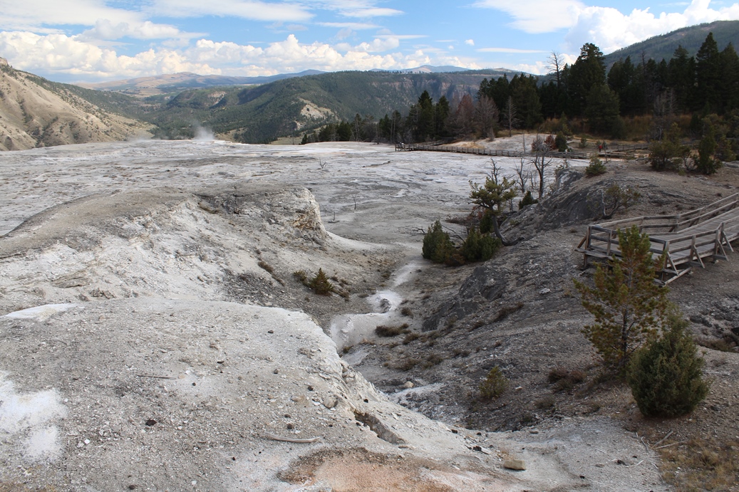
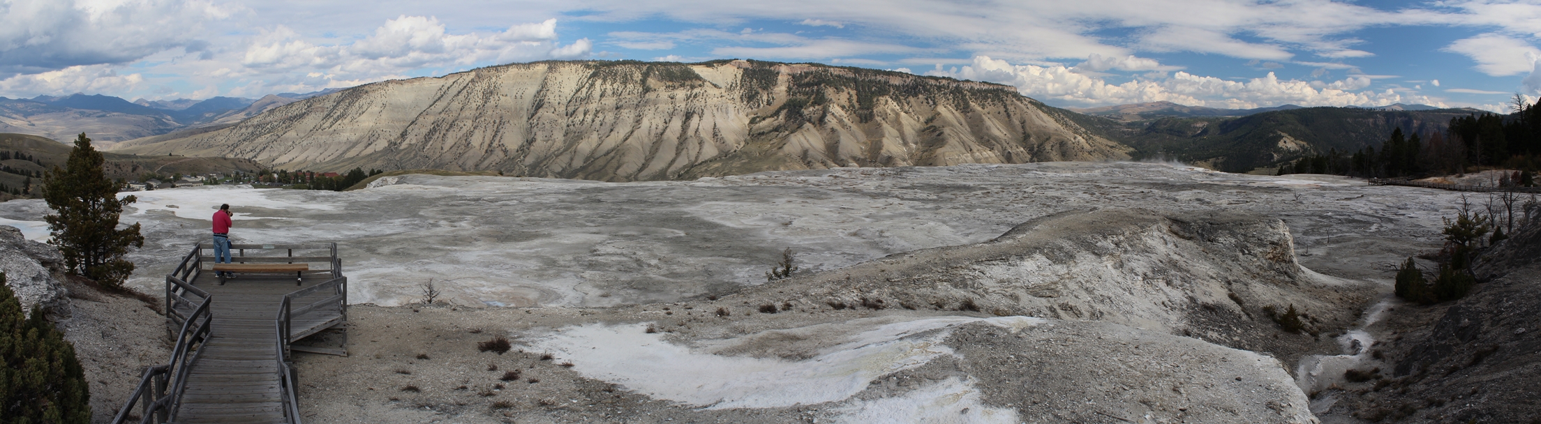
Mammoth Hot Springs Terraces
(Click on Images for Larger Picture)
|
Mammoth Hot Springs Terrance is a really fun place
to hike around. the paths are really easy to
manage and there are so many geological structures
to look at. While we did not walk through this
this trip, we did the previous, and not a whole lot
has changed with access to the various attractions.
|
Panoramic
(Click on Images for Larger Picture)
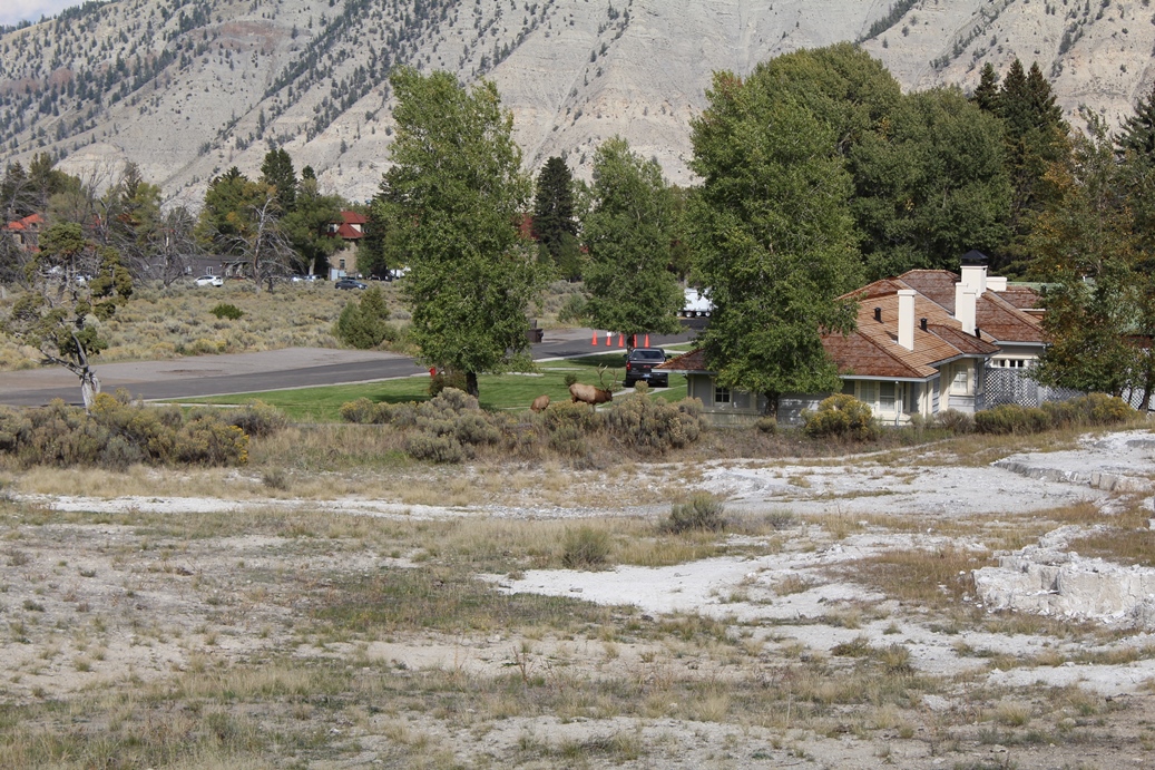
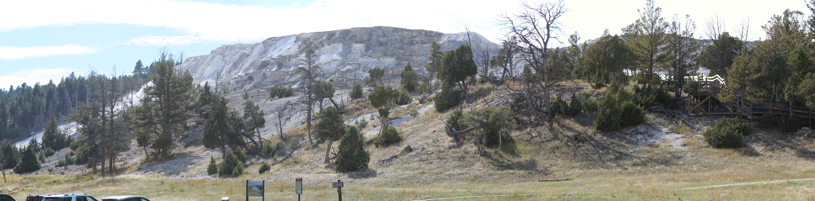
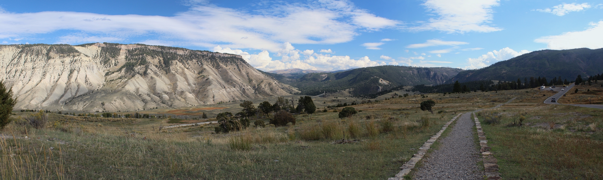
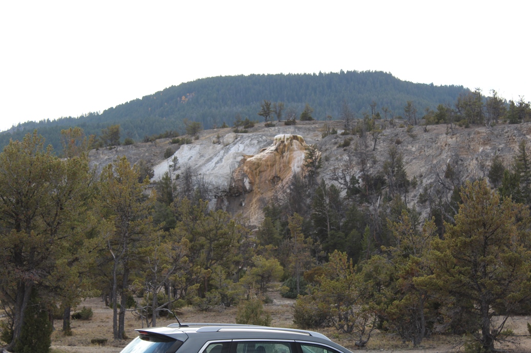
Mammoth Hot Springs Southern Valley
(Click on Images for Larger Picture)
|
While I labeled this Mammoth Hot Springs Southern
Valley, that is not the official name of this area.
I am not certain what the locals would call it, but
it does offer a really nice view. The bridge
in the pictures, down in the valley, is actually the
road that we took to get to Mammoth Hot Springs.
Due to some road construction in the park at this
time, this was the only way to reach this location.
|
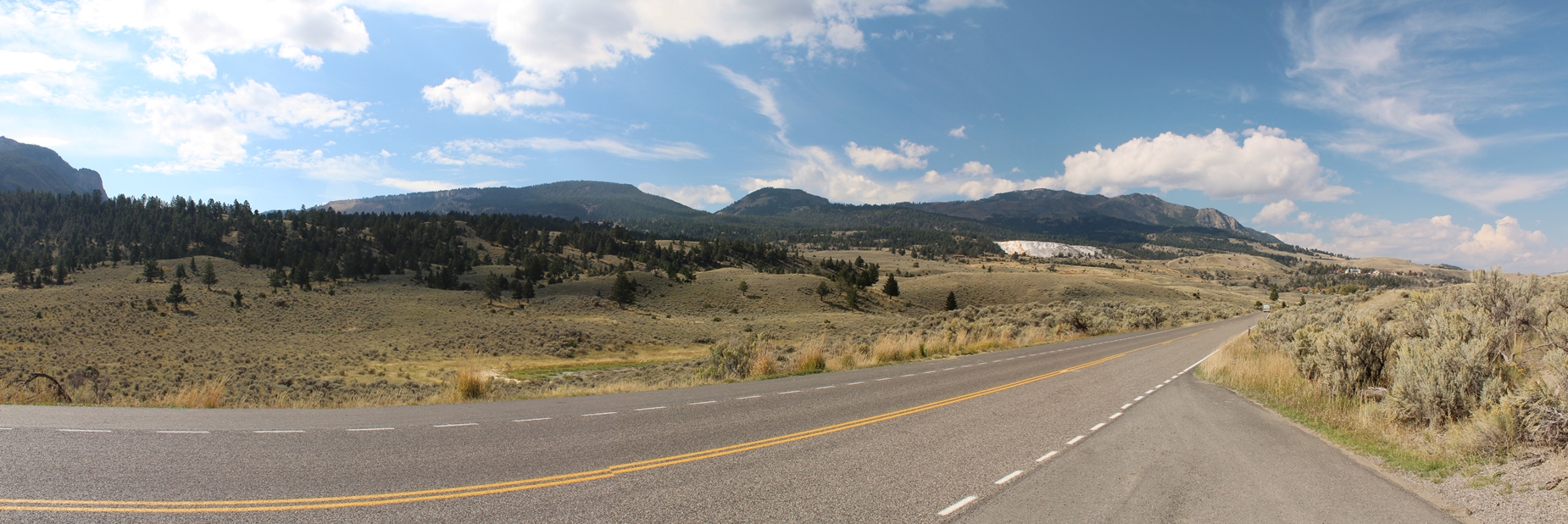
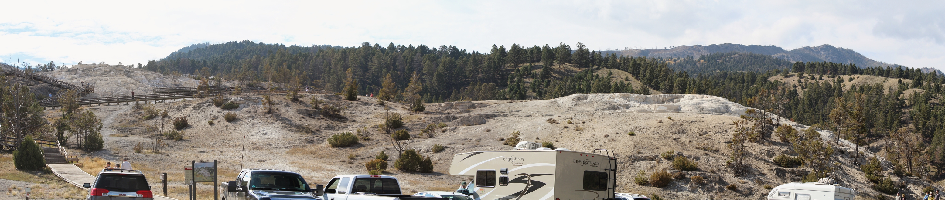
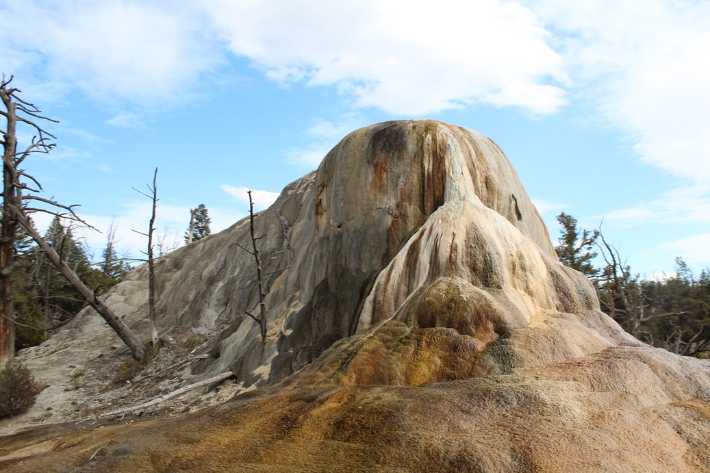
Upper Terrace Drive
(Click on Images for Larger Picture)
|
There are quite a few hiking paths/boardwalks that
you can take around and over this area, but if you
would prefer, there is a nice drive that takes you
around the upper terrace area called Upper Terrace
Drive. You really get some good views and
there are a few spots to pull over and take in the
entire area.
|
Panoramic
(Click on Images for Larger Picture)
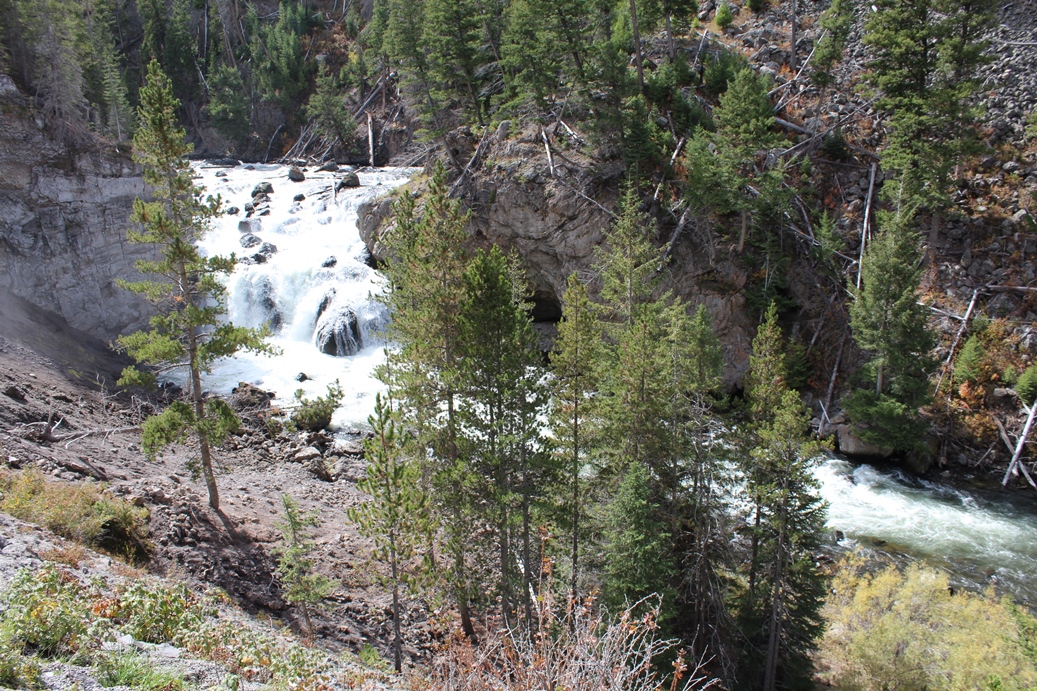
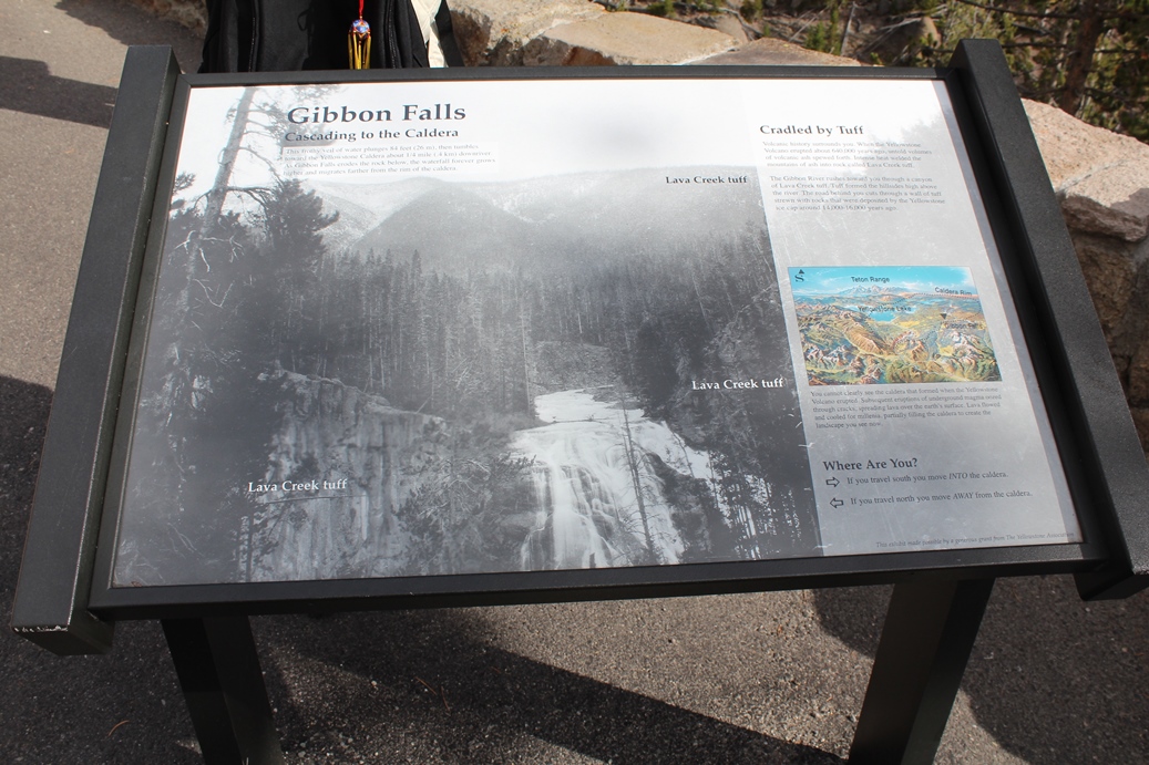
Gibbon Falls
(Click on Images for Larger Picture)
|
Gibbon Falls was a nice little place that we had
passed a few times, but finally stopped on our way
by on the fourth day of our trip. While there
are many hot springs and geysers to visit in the
park, there are many other interesting sites such as
the water falls, and the Grand Canyon of
Yellowstone. Those pictures are coming up
next.
|
Panoramic
(Click on Images for Larger Picture)
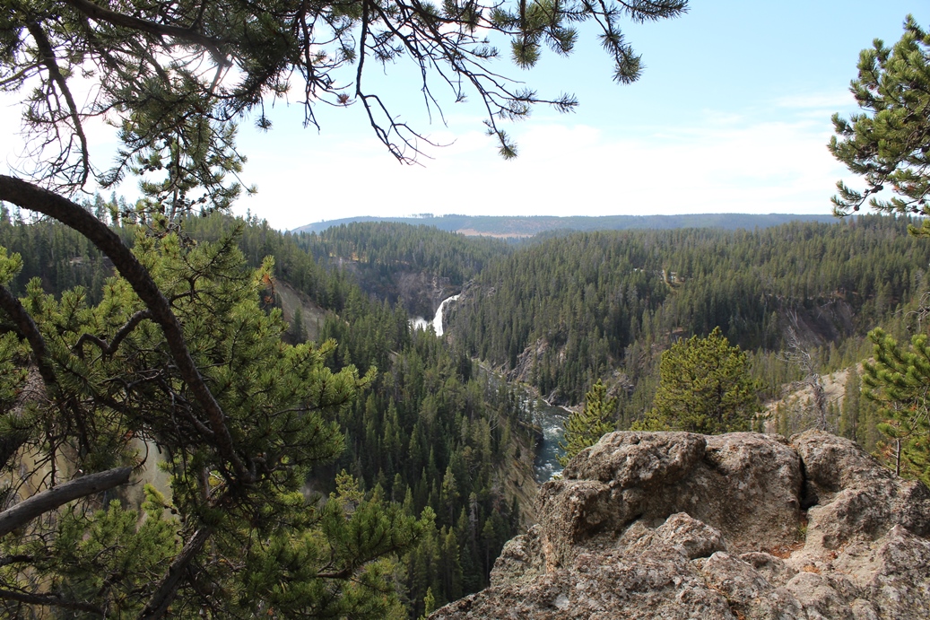
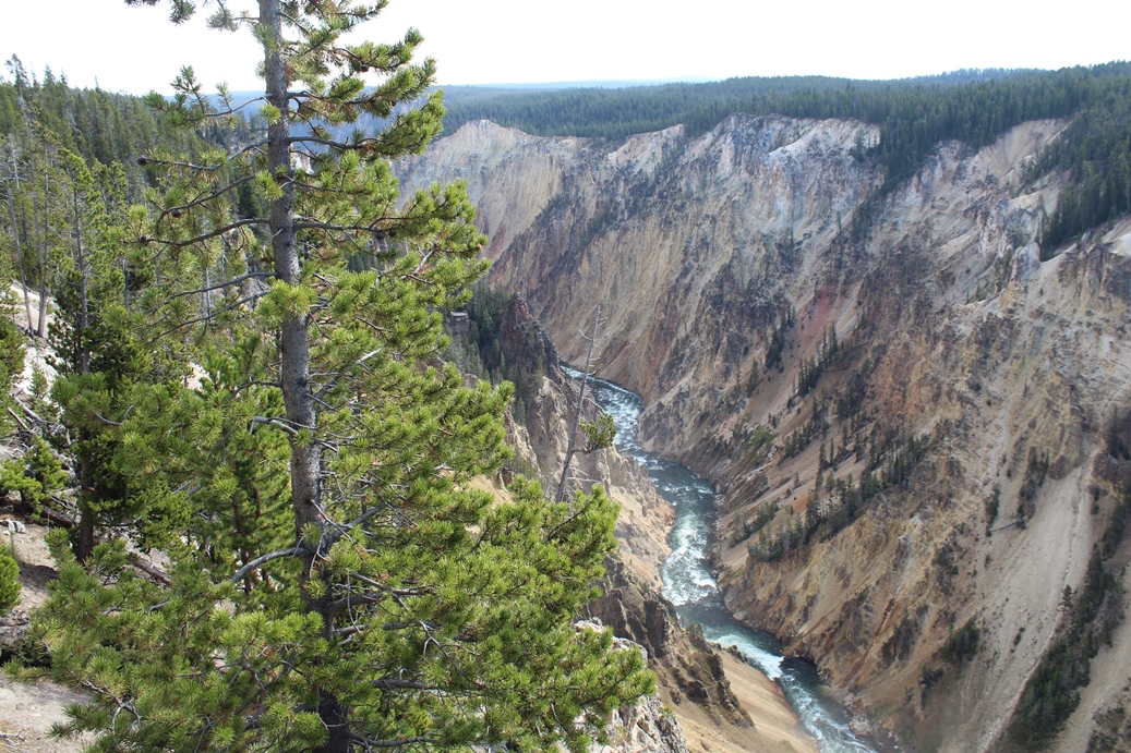
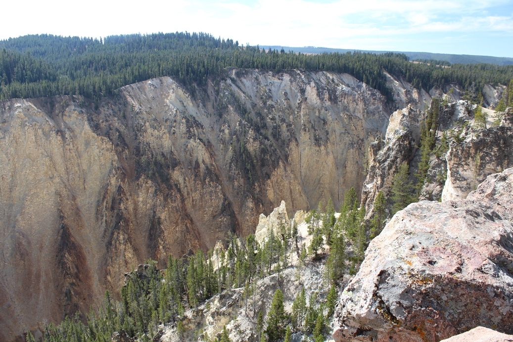
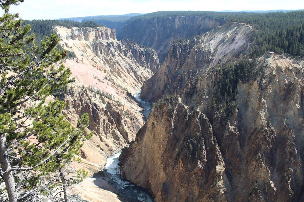
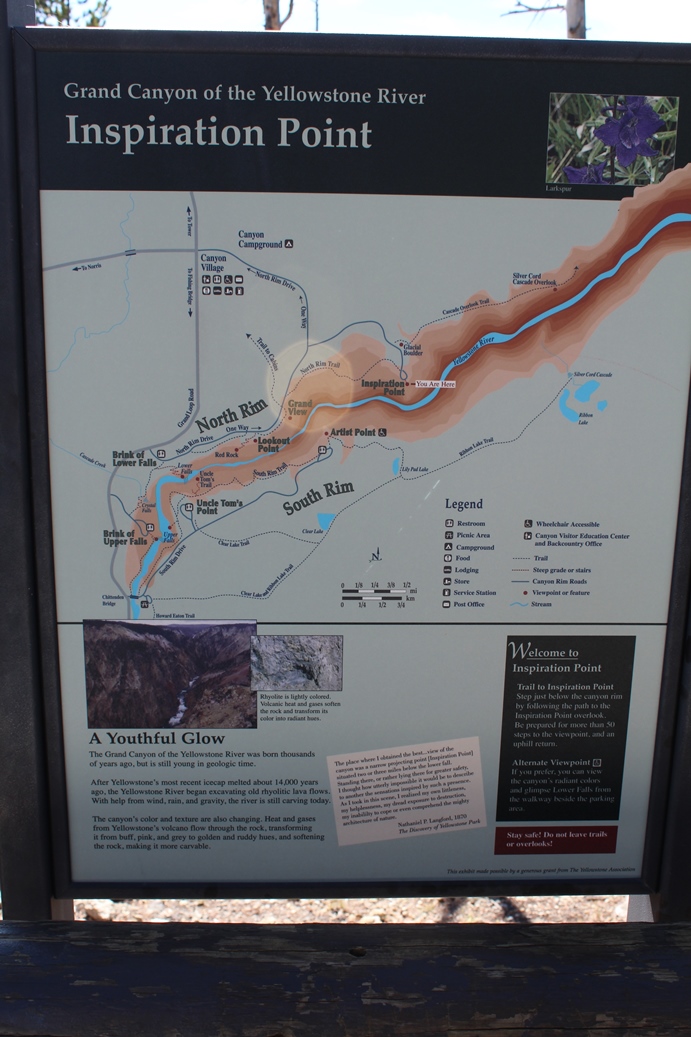
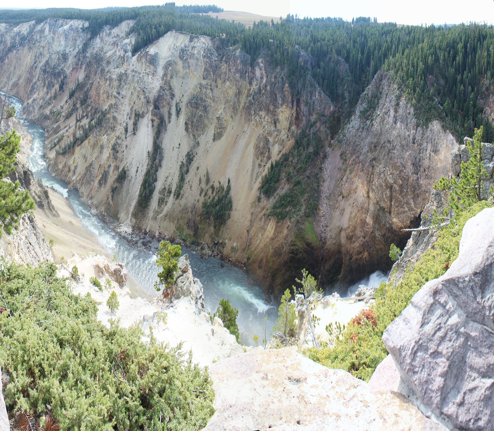
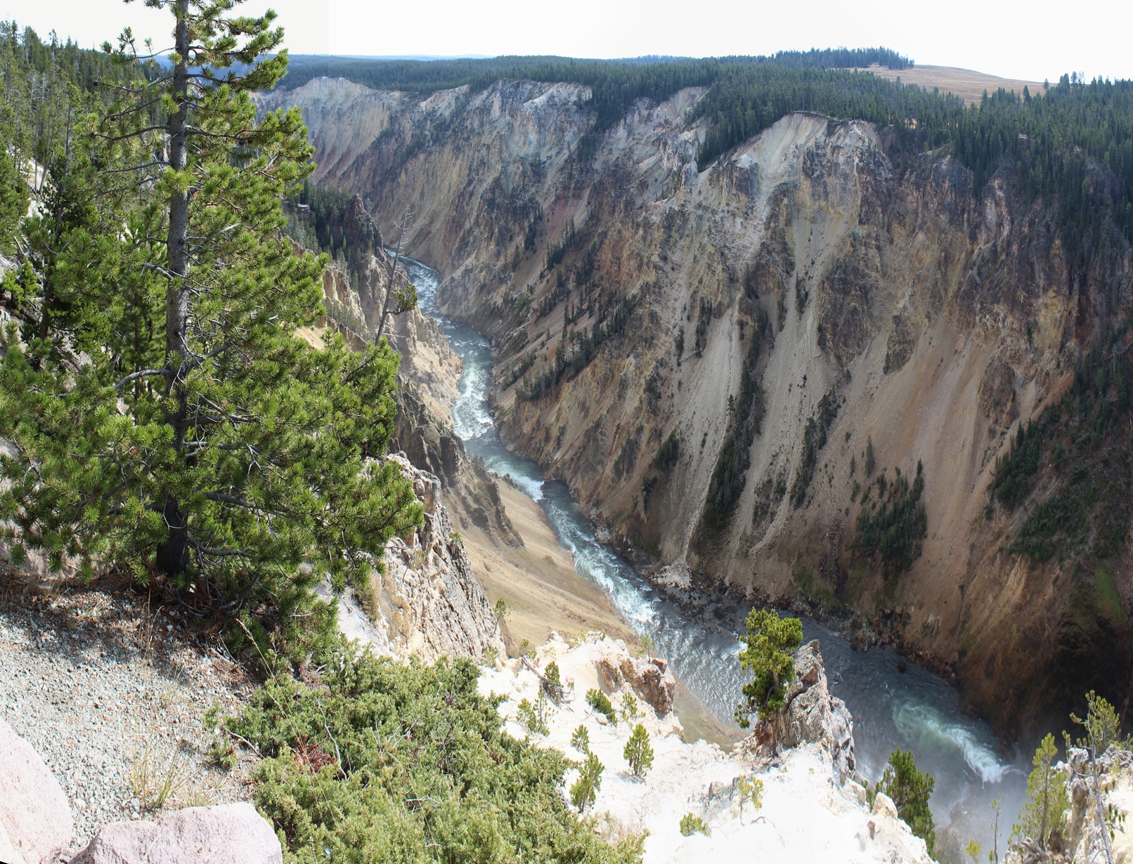
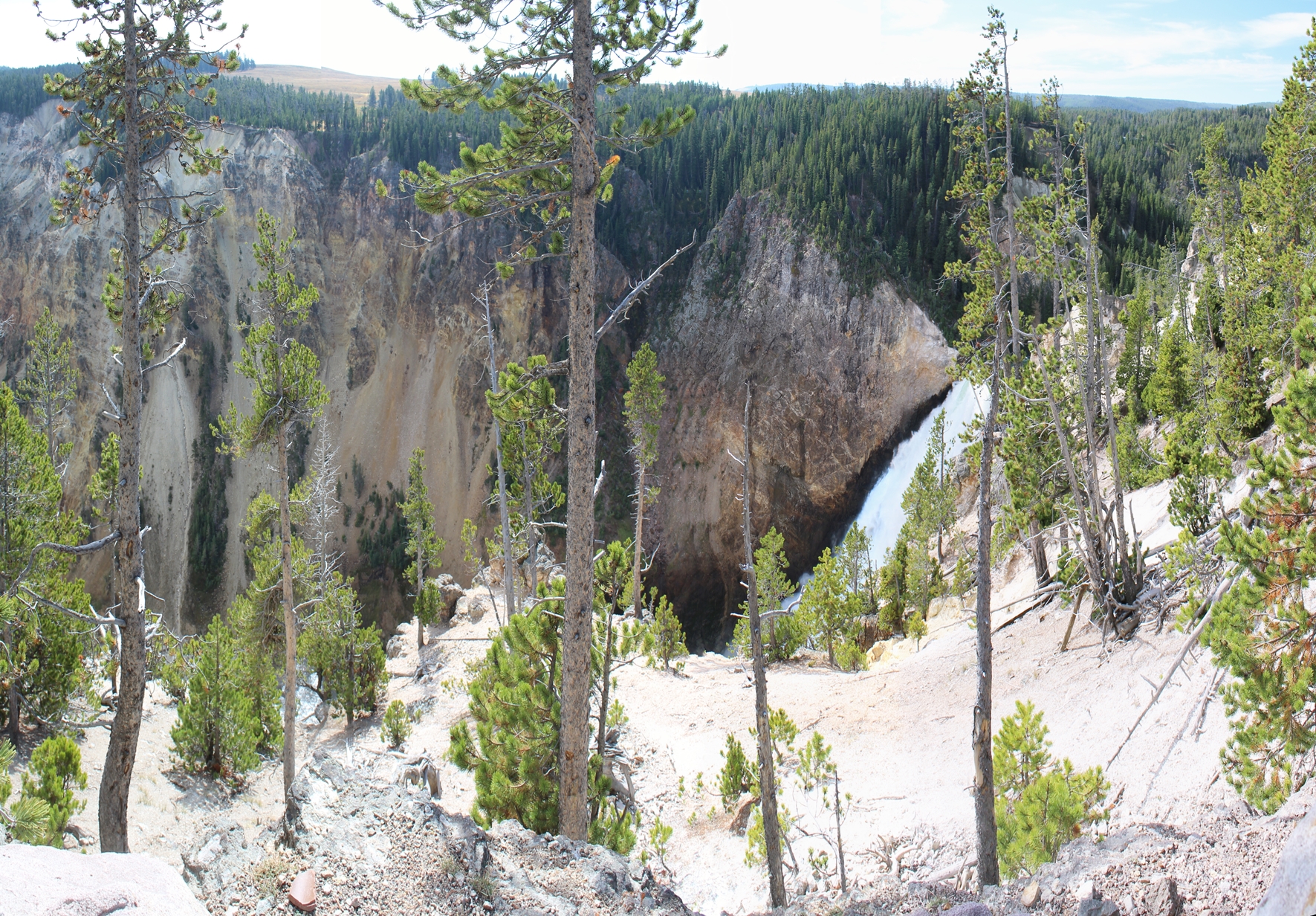
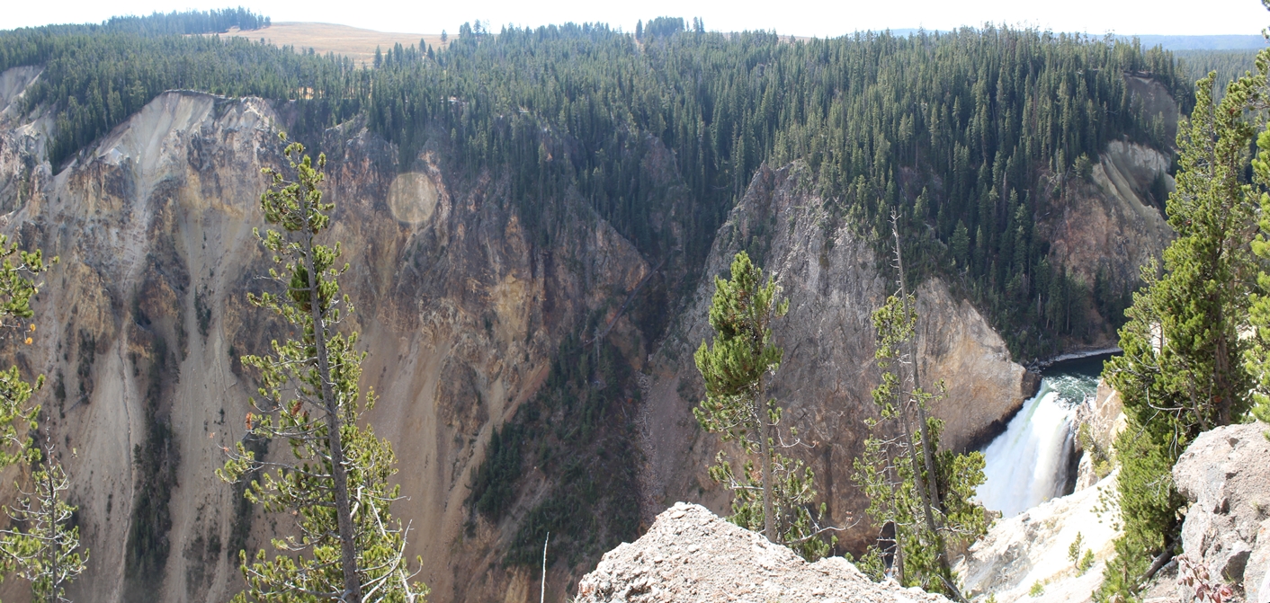
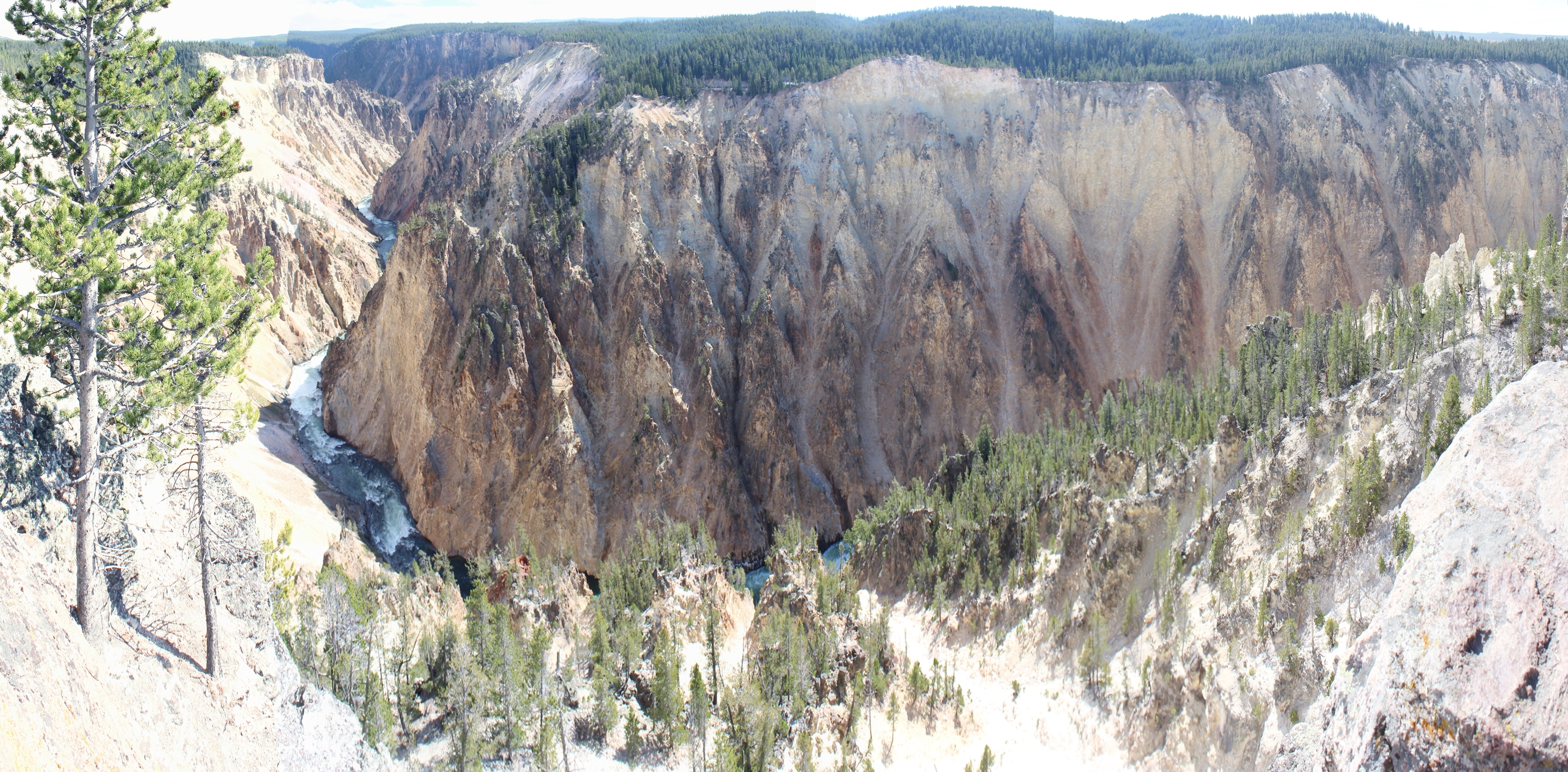
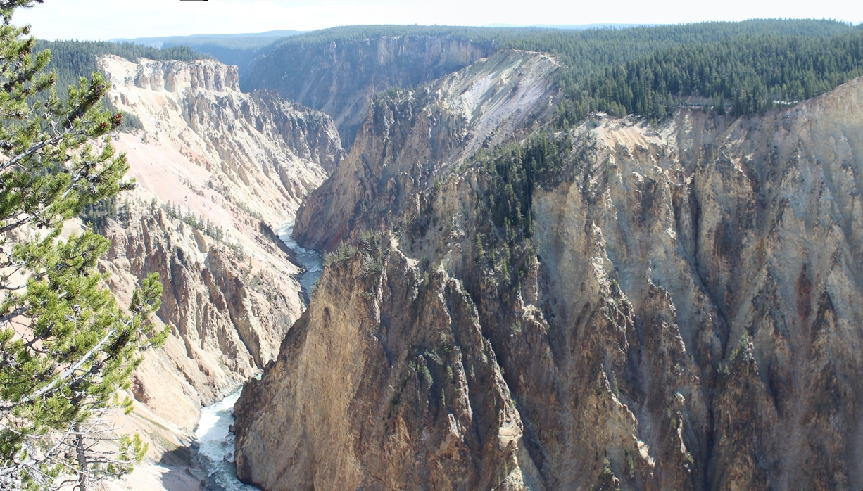
The Grand Canyon of the Yellowstone
(Click on Images for Larger Picture)
|
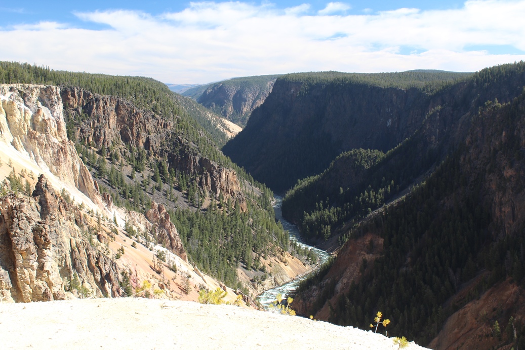
The
Grand Canyon of the Yellowstone is a fun drive.
There is a north side and a south side drive that
you can take. This time we took the north side
and last time we took the south. The north
seems to have more overlooks, while the south as an
overlook that extends into the canyon a little bit.
|
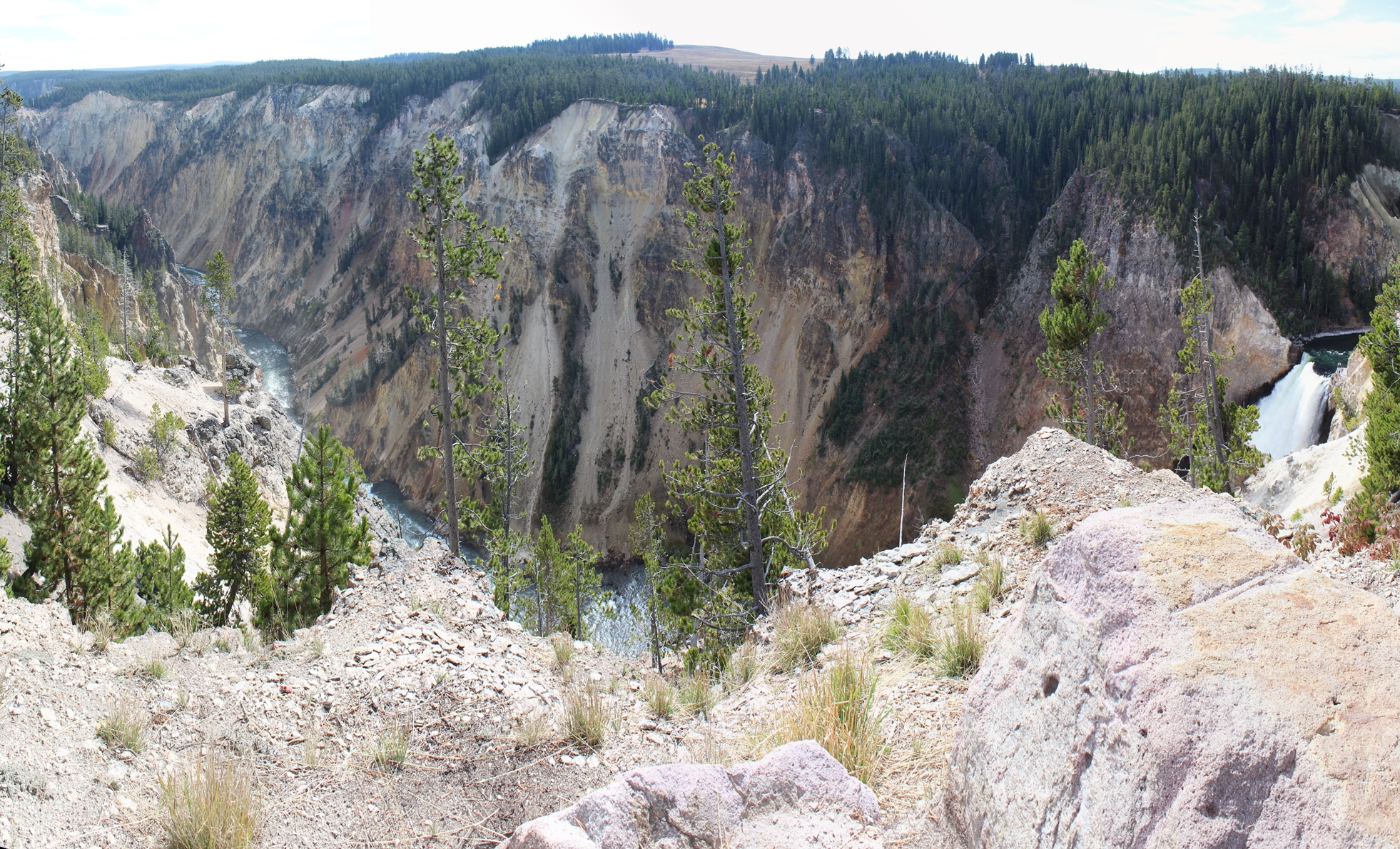
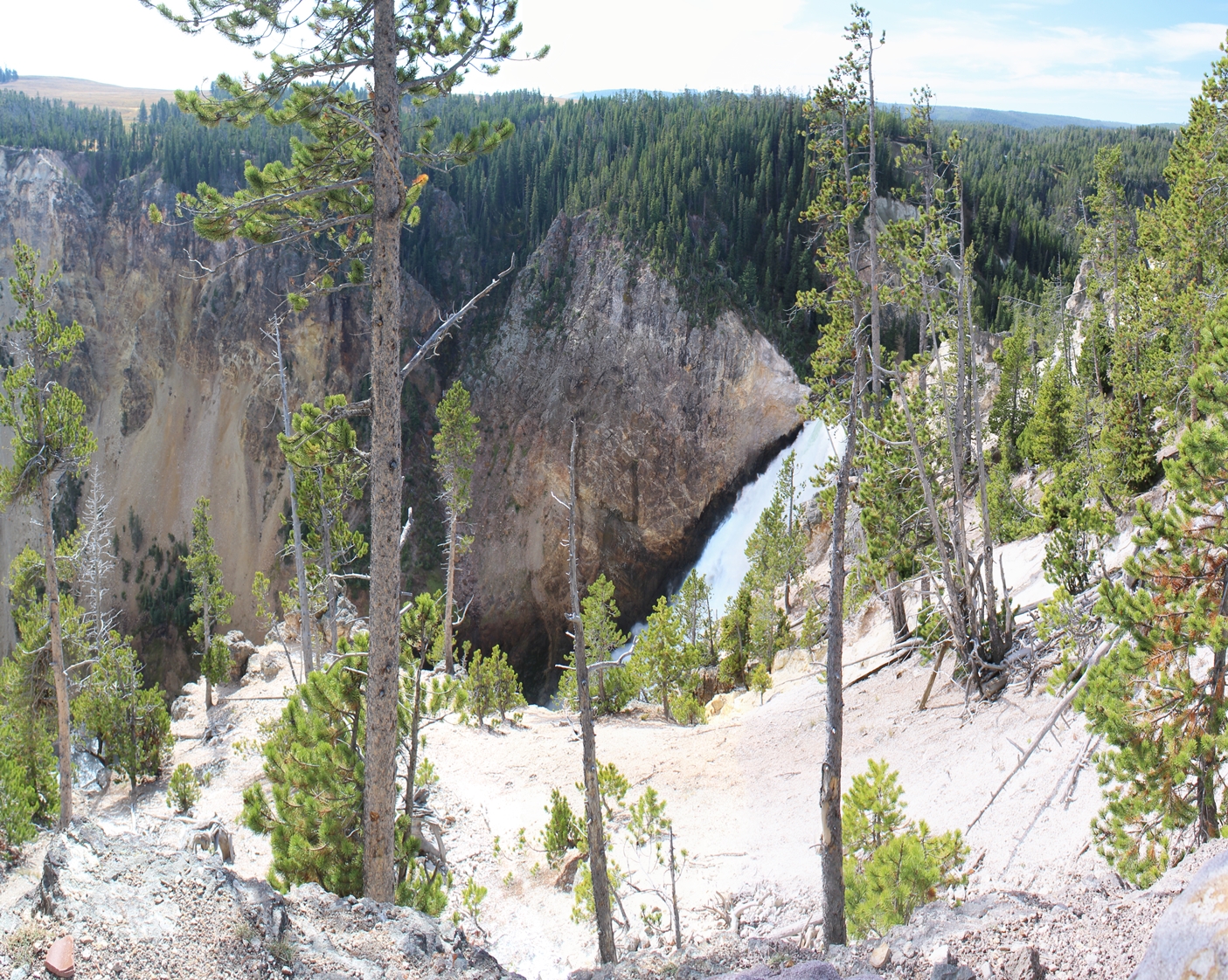
(Click on Images for Larger Picture)
|
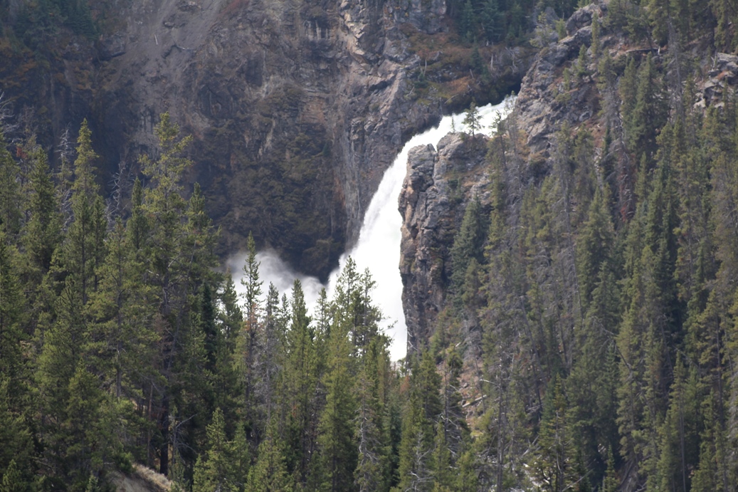
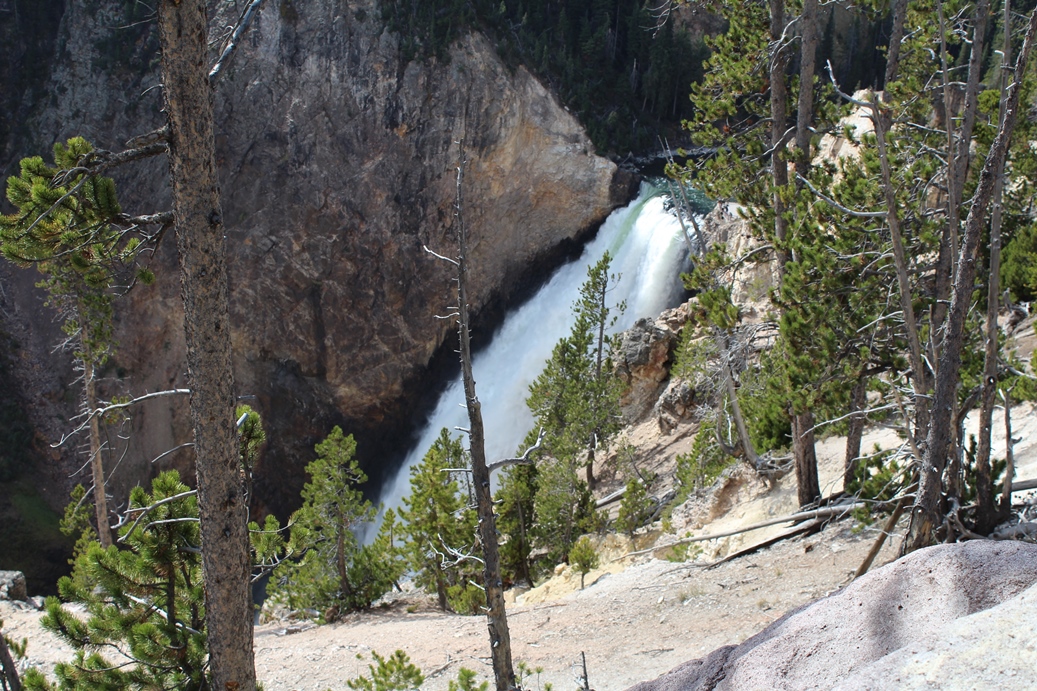
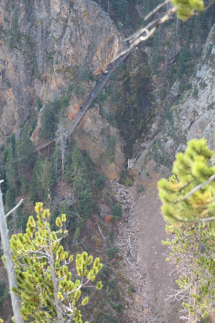
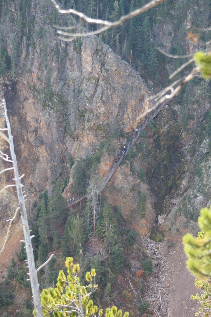
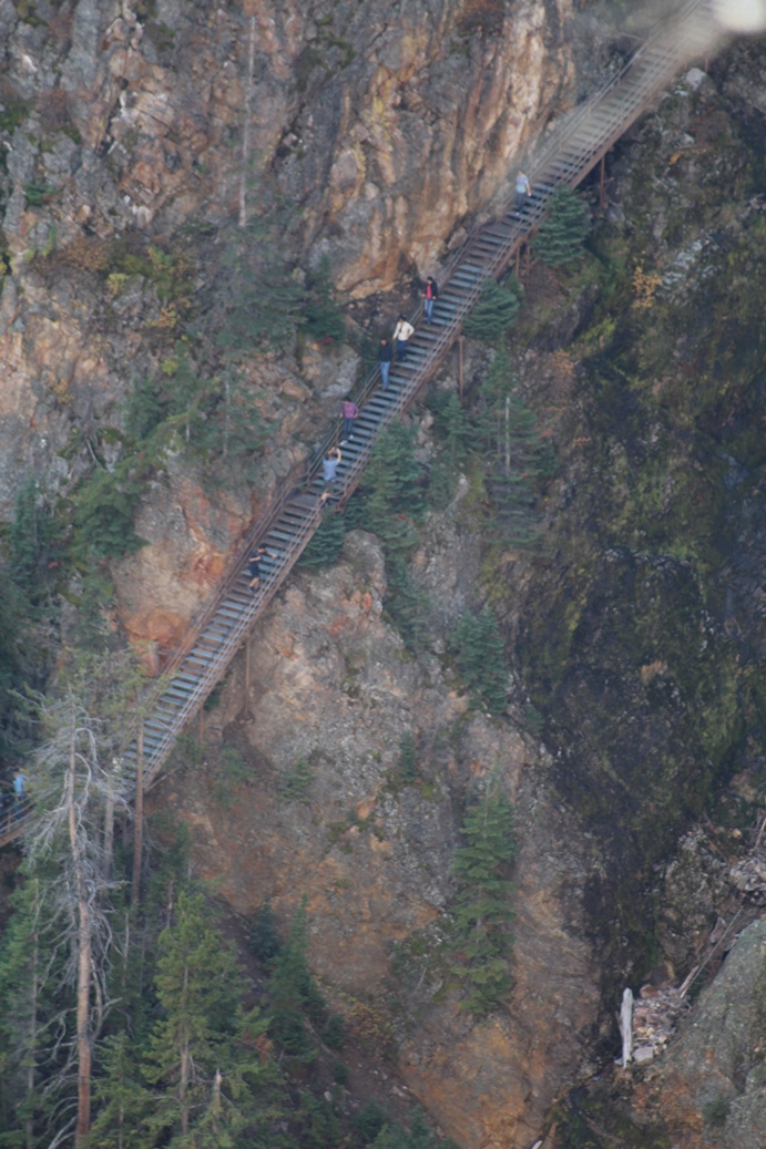
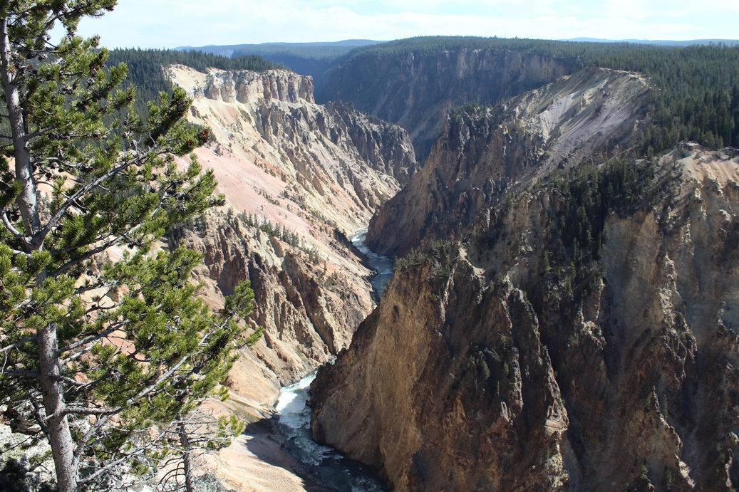
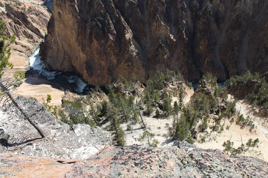
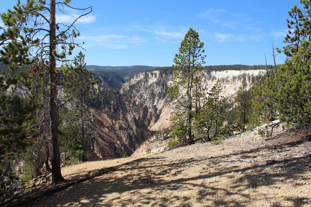
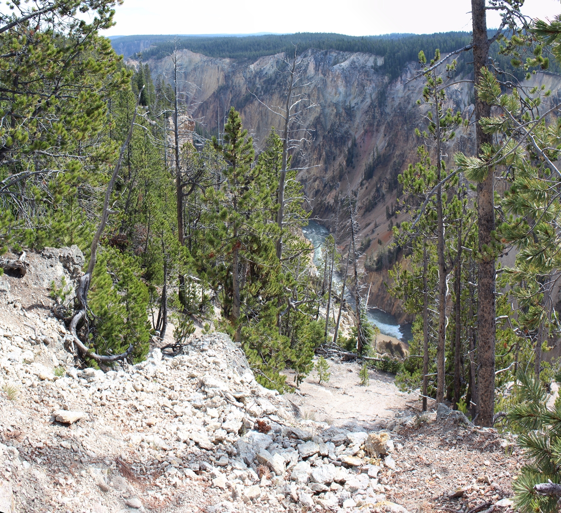
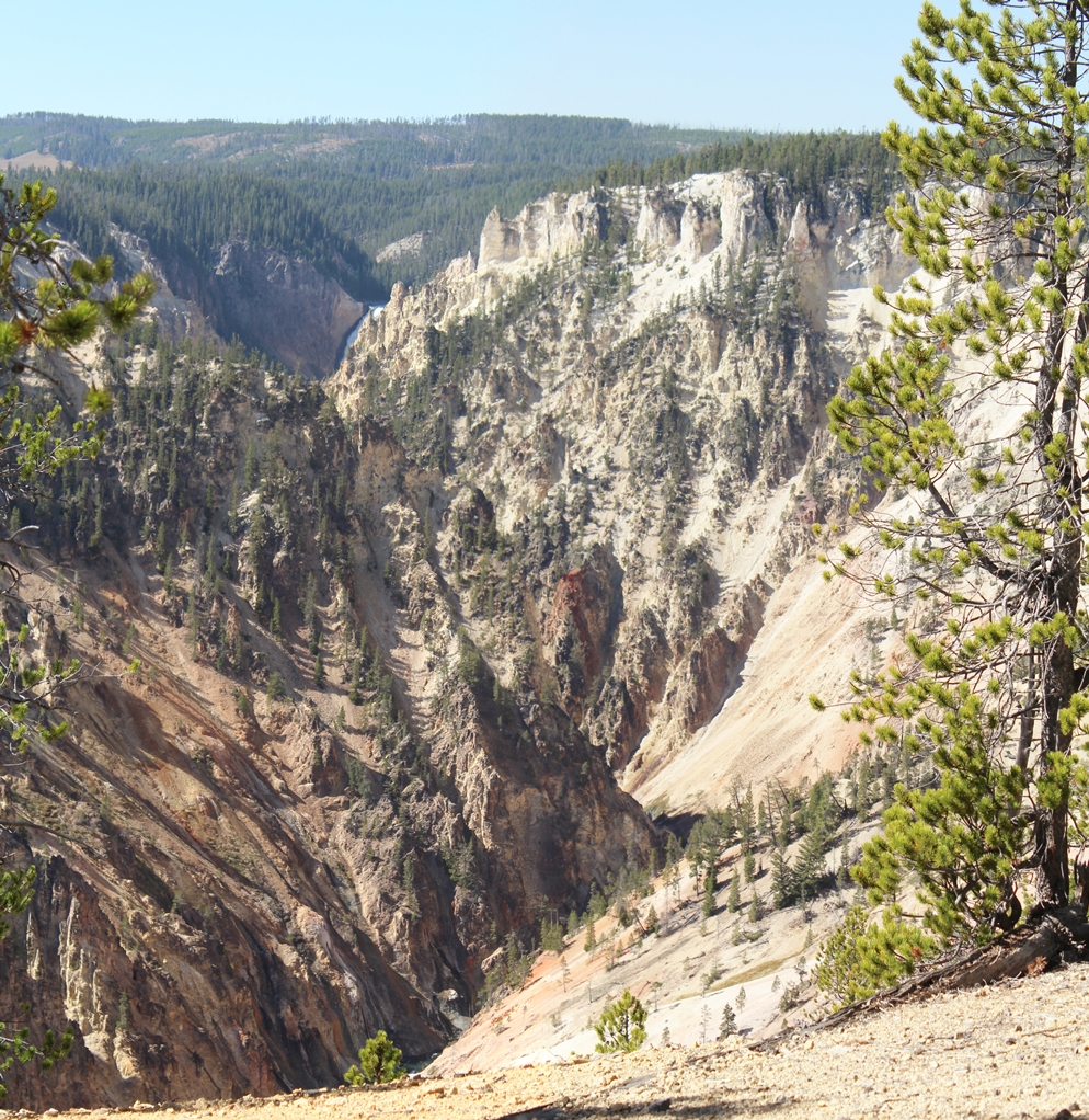
The
last time we were here, we took this "little" hike
down to the bottom of the falls. Looking at it
from this side, it is more impressive that you would
think when hiking down it. Also, the last time
we were here, we only saw a couple of people while
exploring this path. It looks as if a few more
people were brave enough to try it this year.
|
(Click on Images for Larger Picture)
|
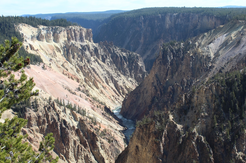
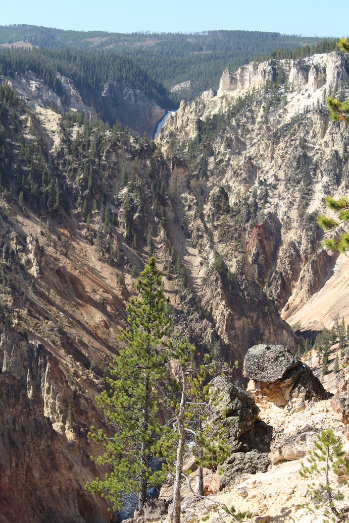
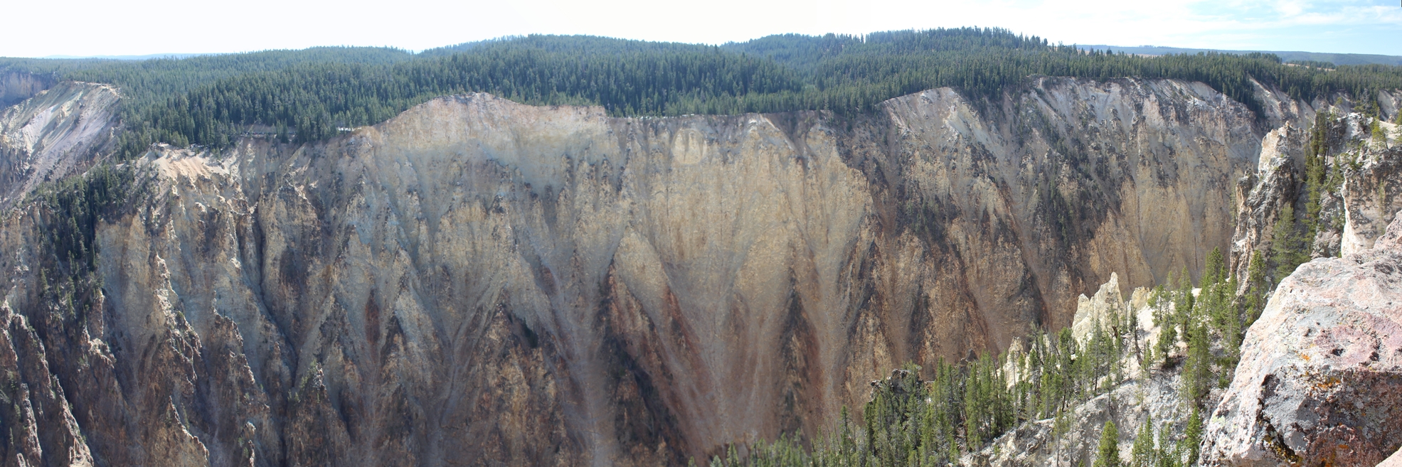
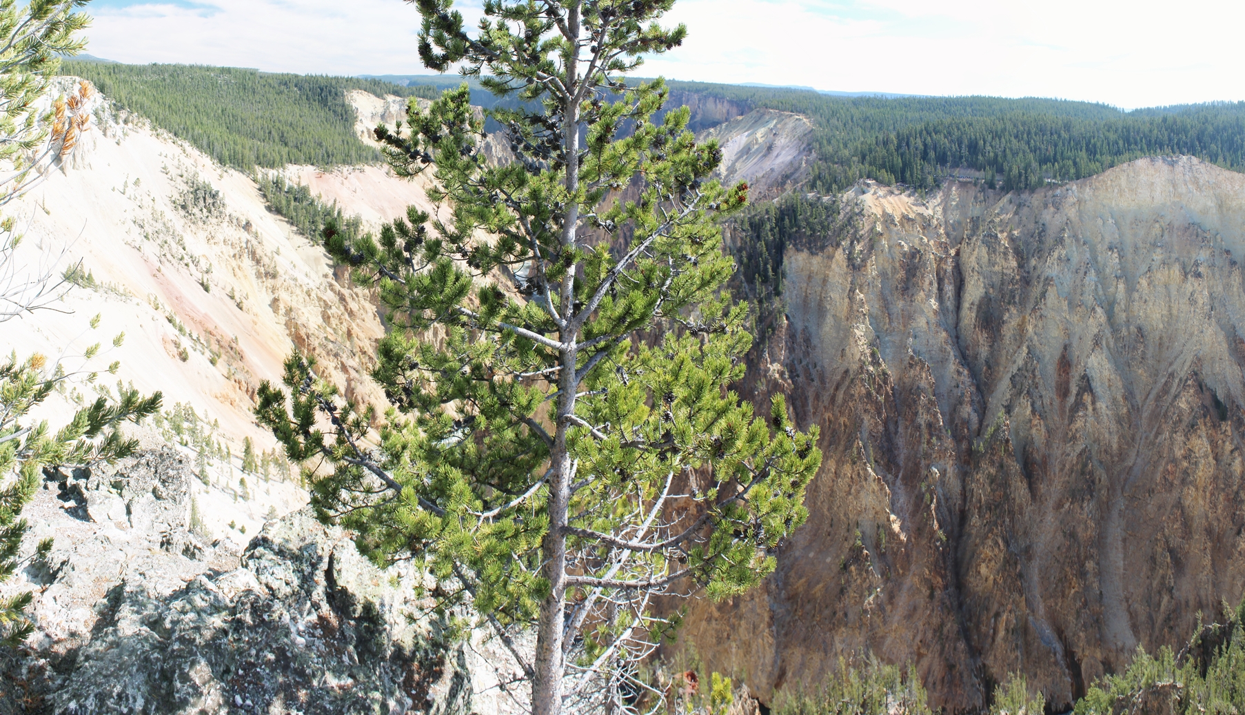
As I
mentioned in the last section, there is a spot along
the south side drive where the overlook extends a
bit into the canyon. It is hard to make out,
but if you look closely in the second and third
picture of the first row, you can almost make it
out. In the near upper right, there is a
overlook, and in the panoramic shots below, there is
one photo that show the road leading to this
overlook.
|
Panoramic
(Click on Images for Larger Picture)
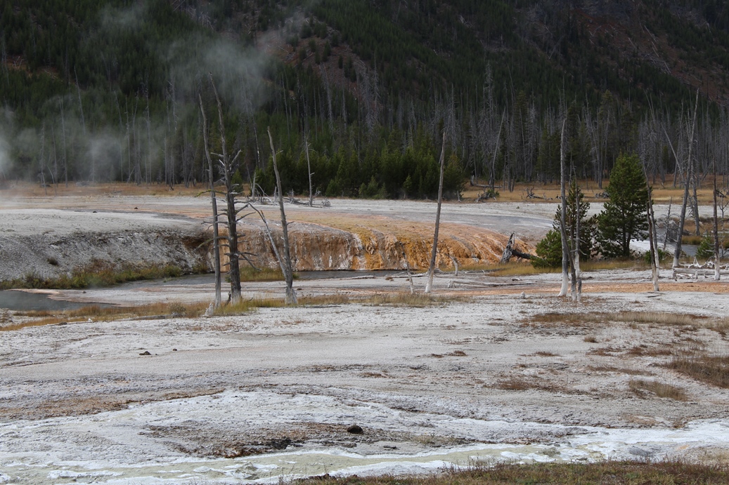
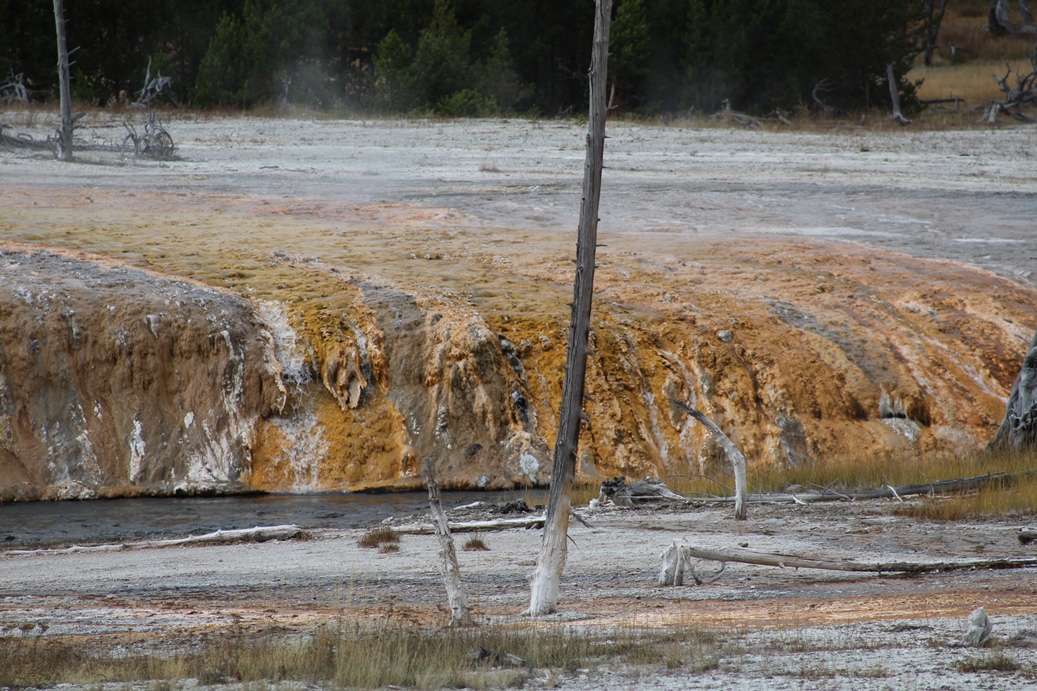
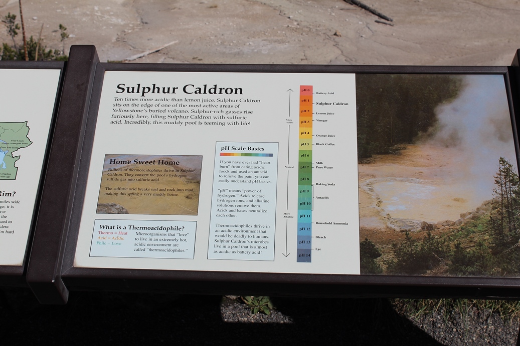
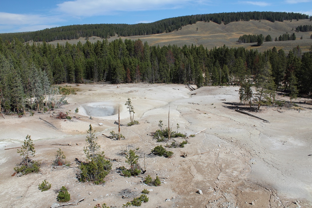
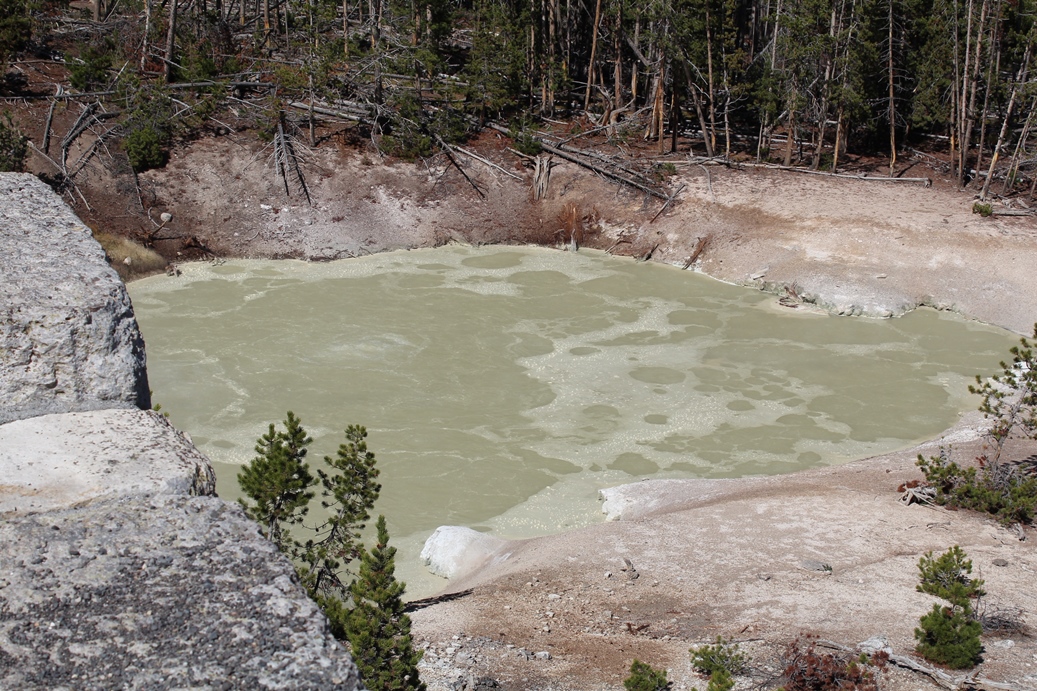
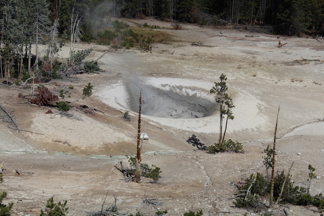
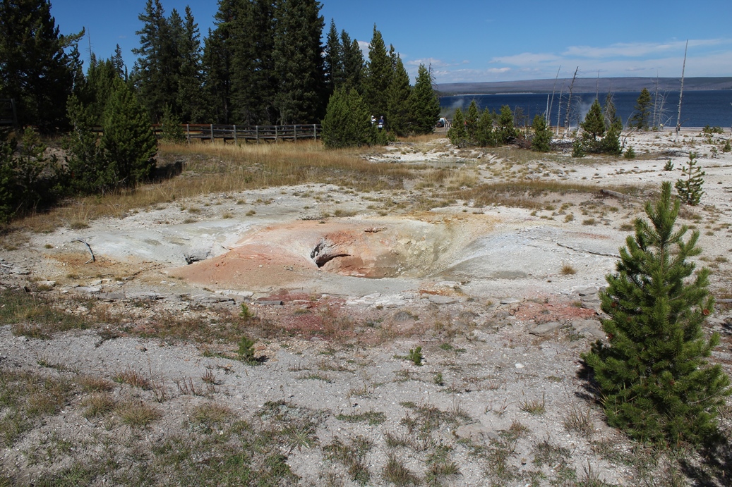
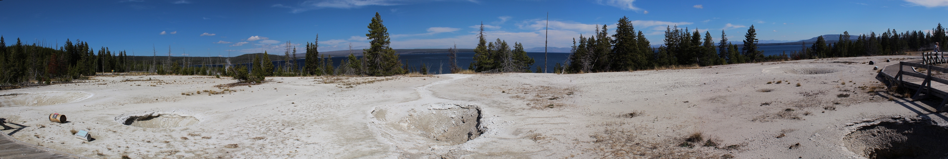
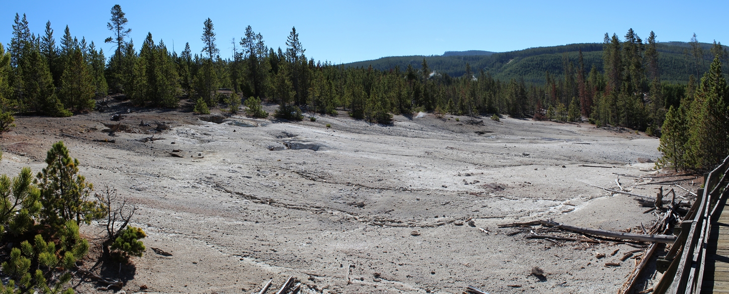
Sulphur Caldron
(Click on Images for Larger Picture)
|
This
was a nice little pull off along the road on our way
to the southern end of the park. It's places
like this that really remind you that you are in
fact driving through the heart of an active volcano.
I should mention that the last picture in this
series was actually taken in the Inspiration Point
area of the Grand Canyon of the Yellowstone.
It just fit nicely in this section.
|
Panoramic
(Click on Images for Larger Picture)
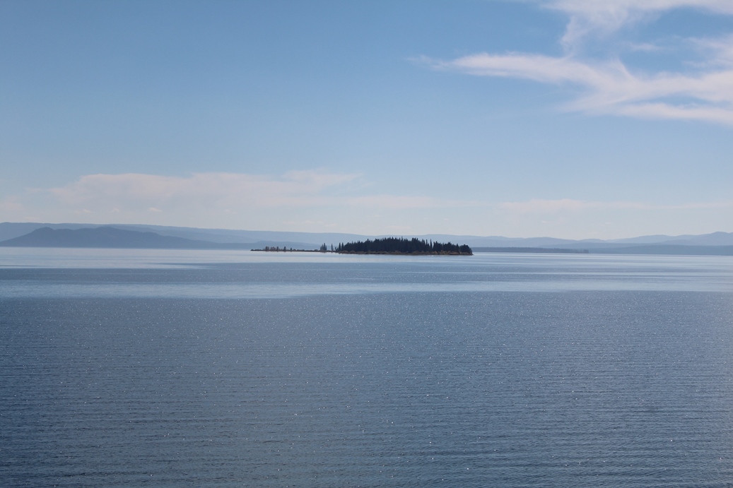
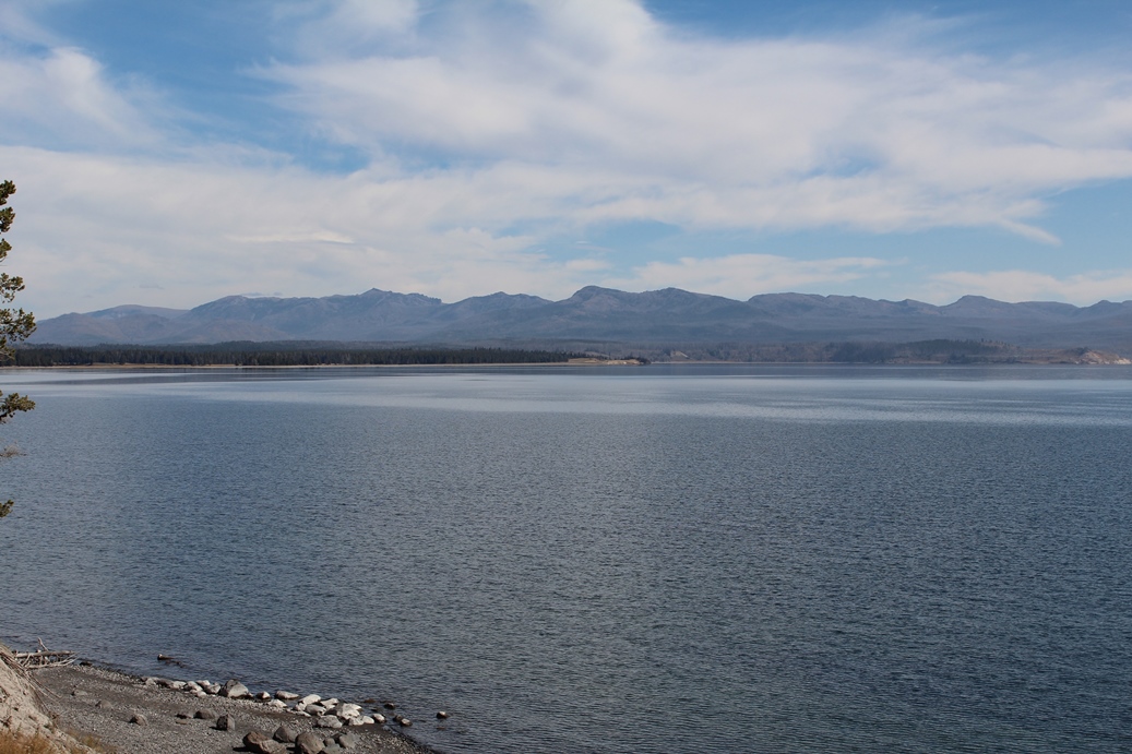
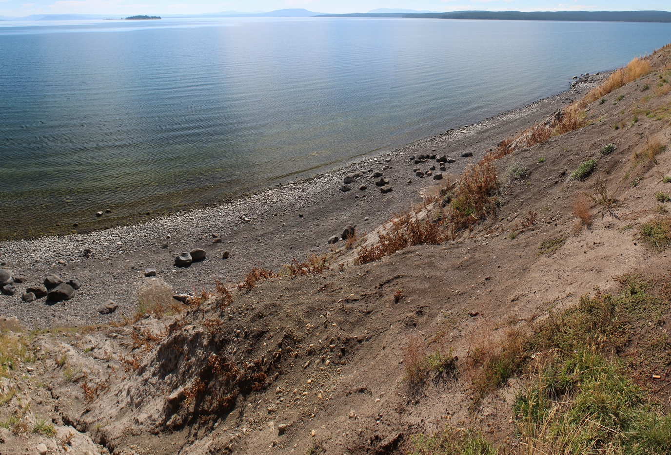
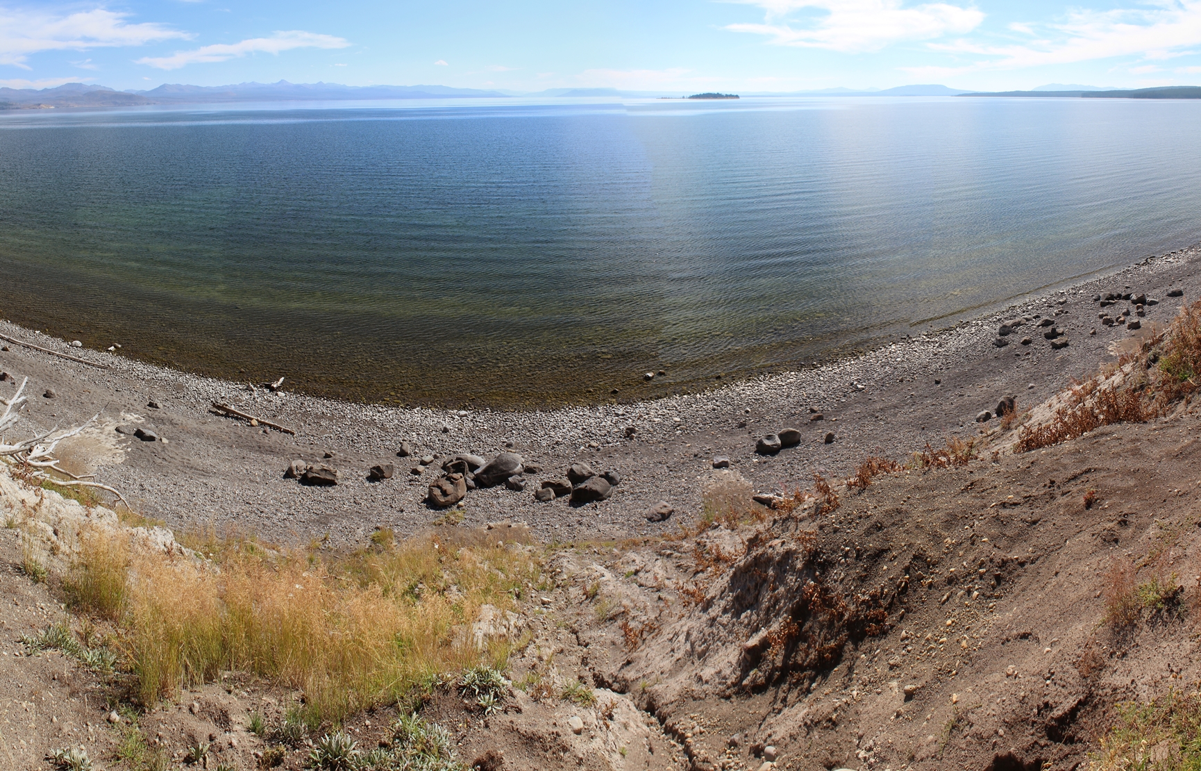
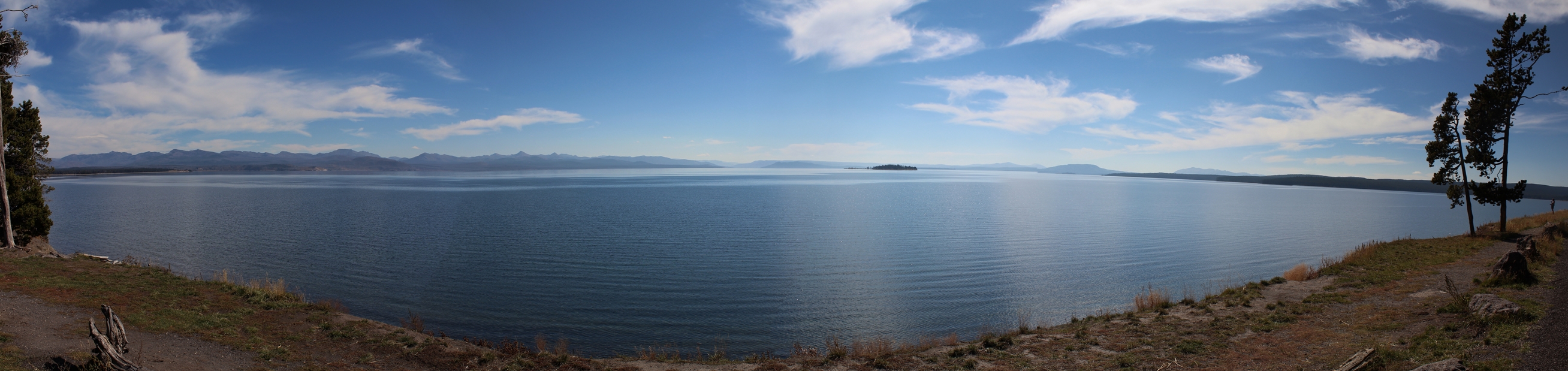
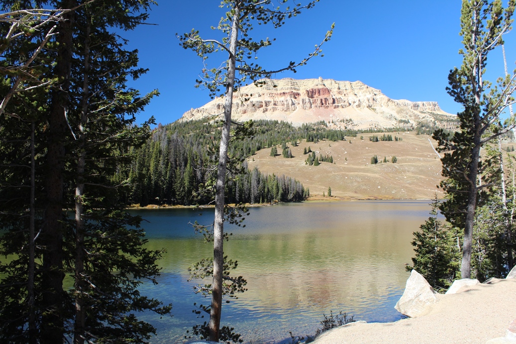
Yellowstone Lake
(Click on Images for Larger Picture)
|
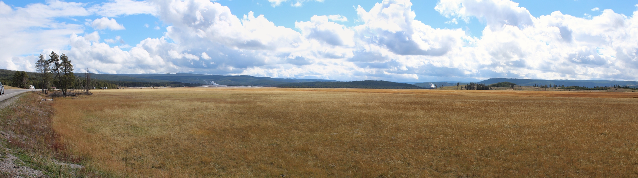
Another stop along the drive was Yellowstone
Village and Yellowstone Lake. The one thing
you do not get a feel for in the pictures is the
drop from the road level down to the lake. It
is actually quite a ways down to the shore than you
would think.
|
Panoramic
(Click on Images for Larger Picture)
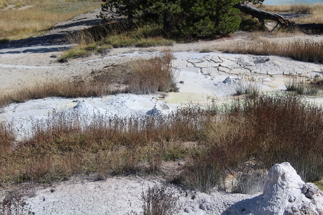
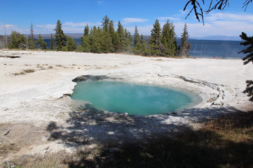
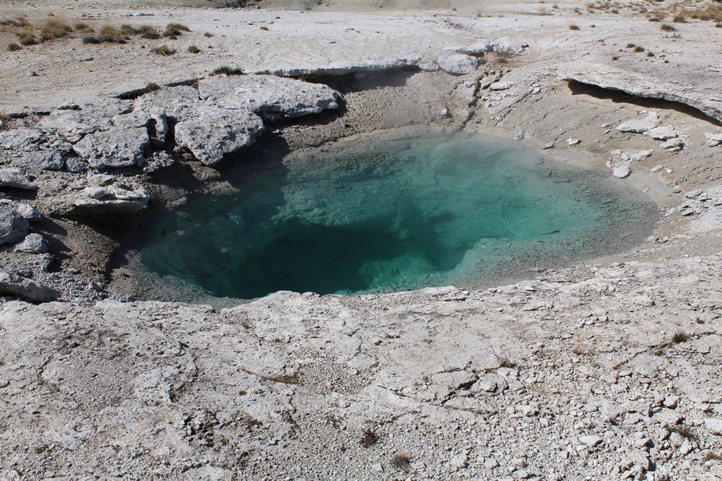
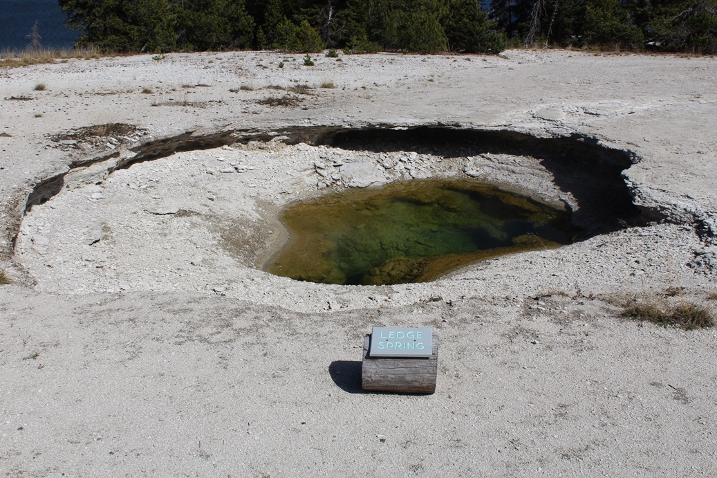
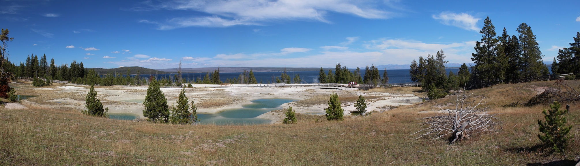
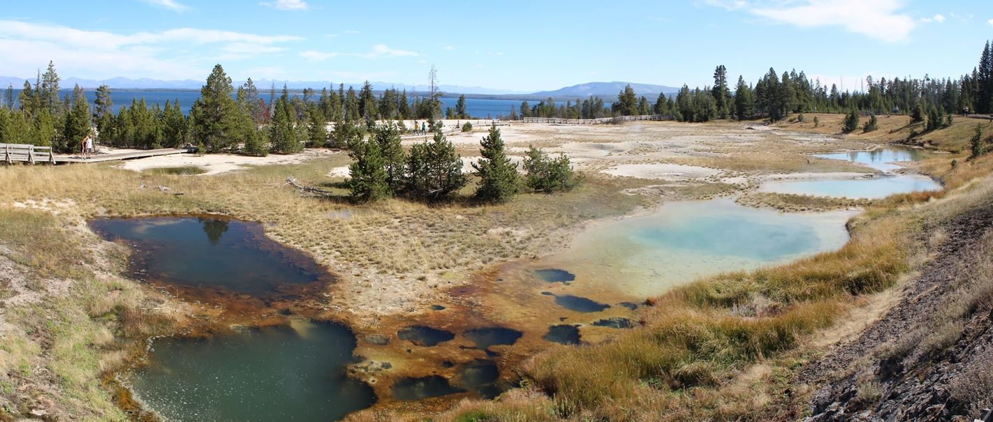
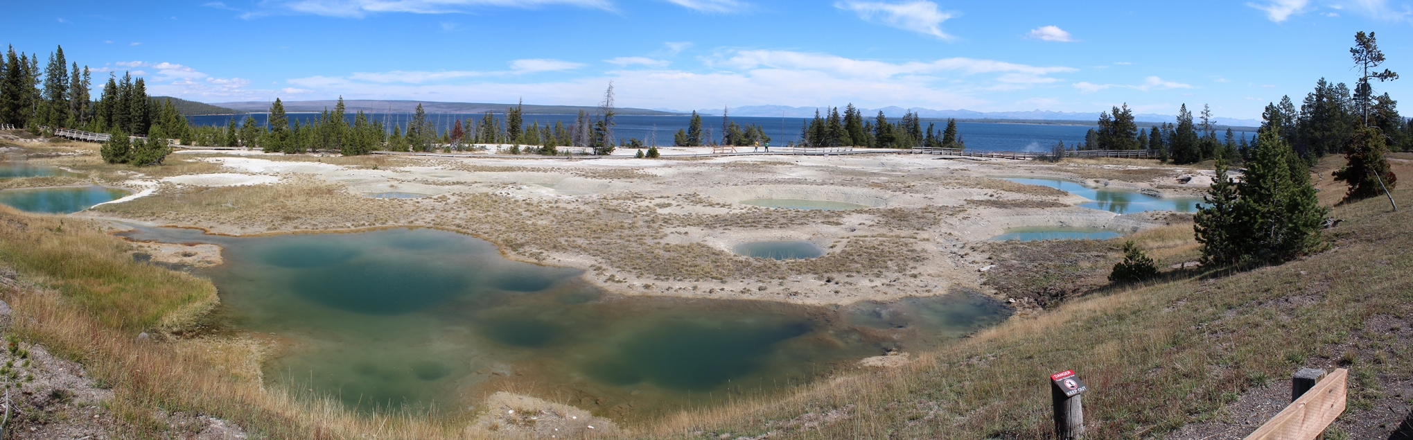
West Thumb Geyser Basin
(Click on Images for Larger Picture)
|
Our
final stop in this leg or our trip was at West Thumb
Geyser Basin. I was really surprised to see
the amount of people here since the last few stops
seemed to be fairly quite. Even the facilities
and gift shop were open here. It is a nice
little boardwalk tour around the geysers and some
really striking color differences between the
surrounding areas and some of the pools.
|
Panoramic
(Click on Images for Larger Picture)
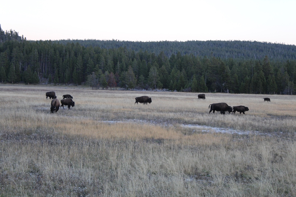
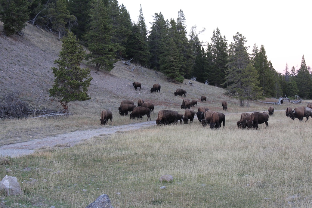
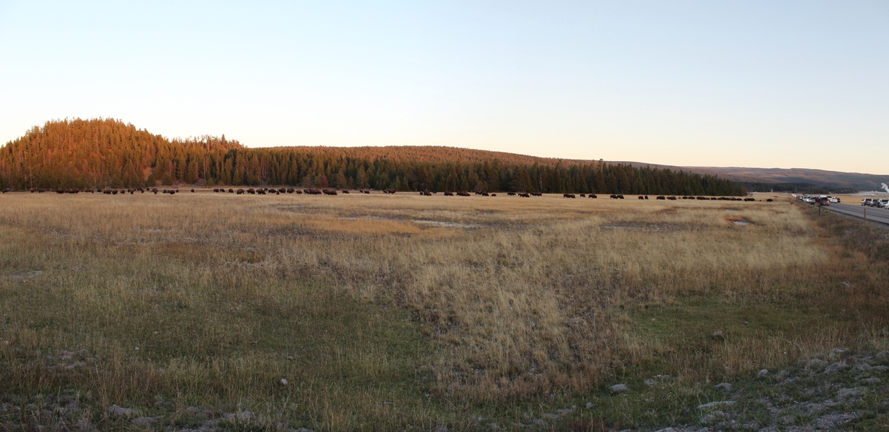
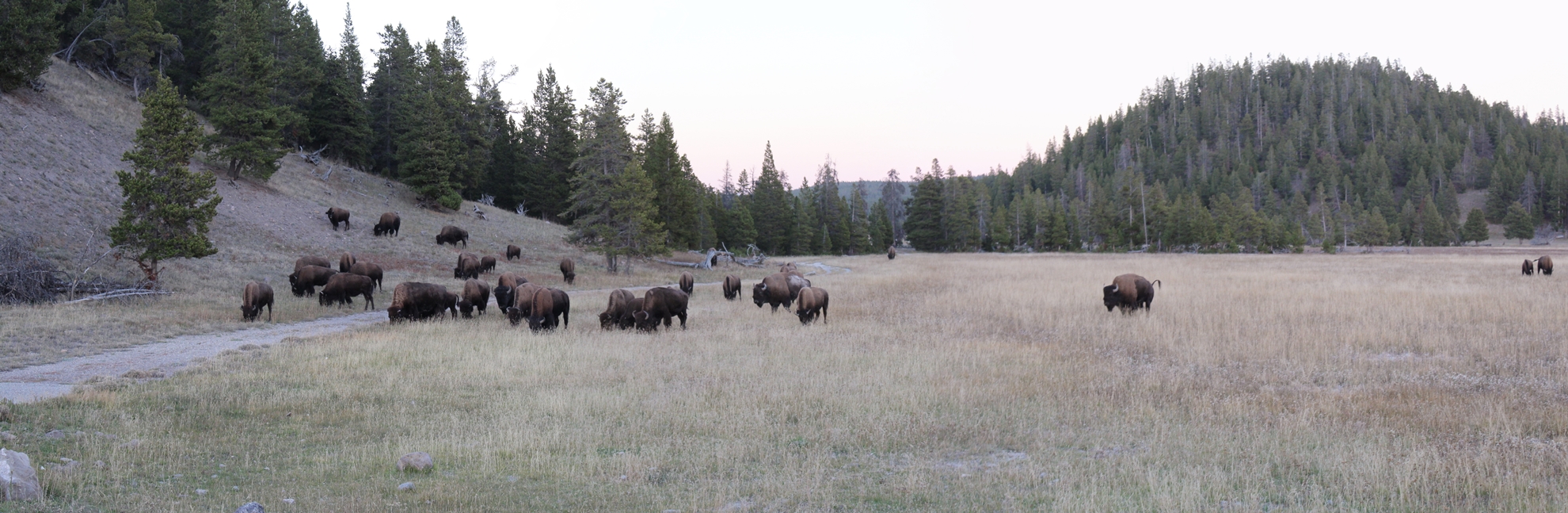
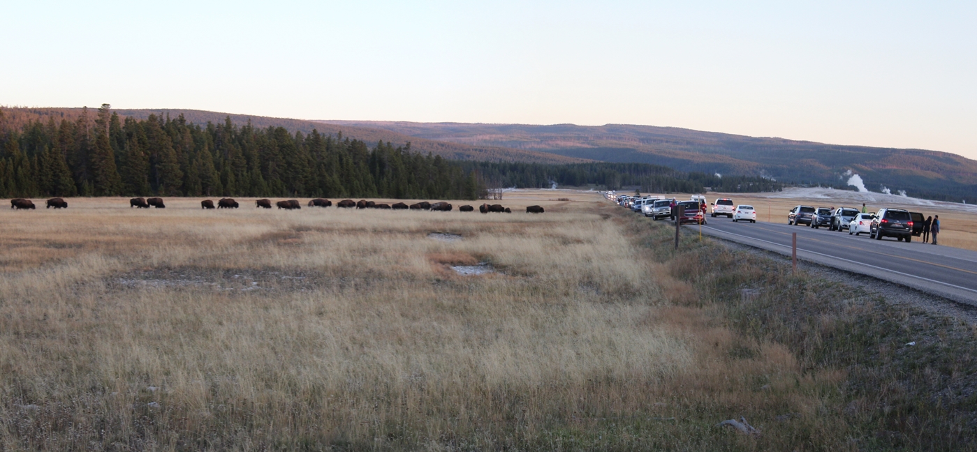
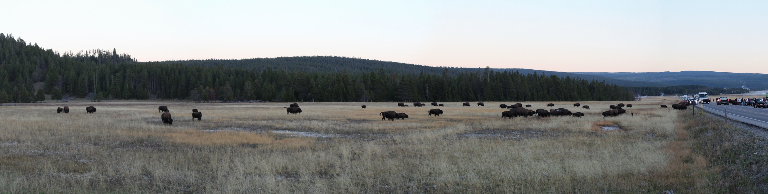
Bison Herd
(Click on Images for Larger Picture)
|
On
our way back from camp, we came across a pleasant
surprise. A large herd of bison were making
their way through the valley, across the plain, not
sure what to call the place exactly. But this
was the largest herd we had seen on either trip we
made to Yellowstone. I thought it was
interesting how they navigated the pile of cars
along the road as well. I would like to make a
comment on this however. If you do see a large
herd of bison moving through the park, please stop
on either side of it, and not in the middle. I
was watching the interaction with the cars and the
bison and was waiting for some sort of incident, but
thankfully none happened.
|
Panoramic
(Click on Images for Larger Picture)
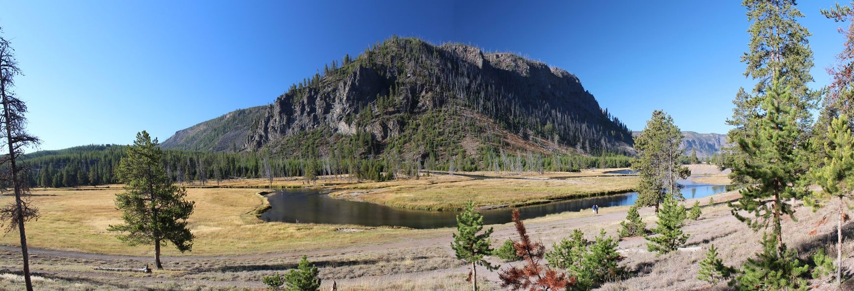
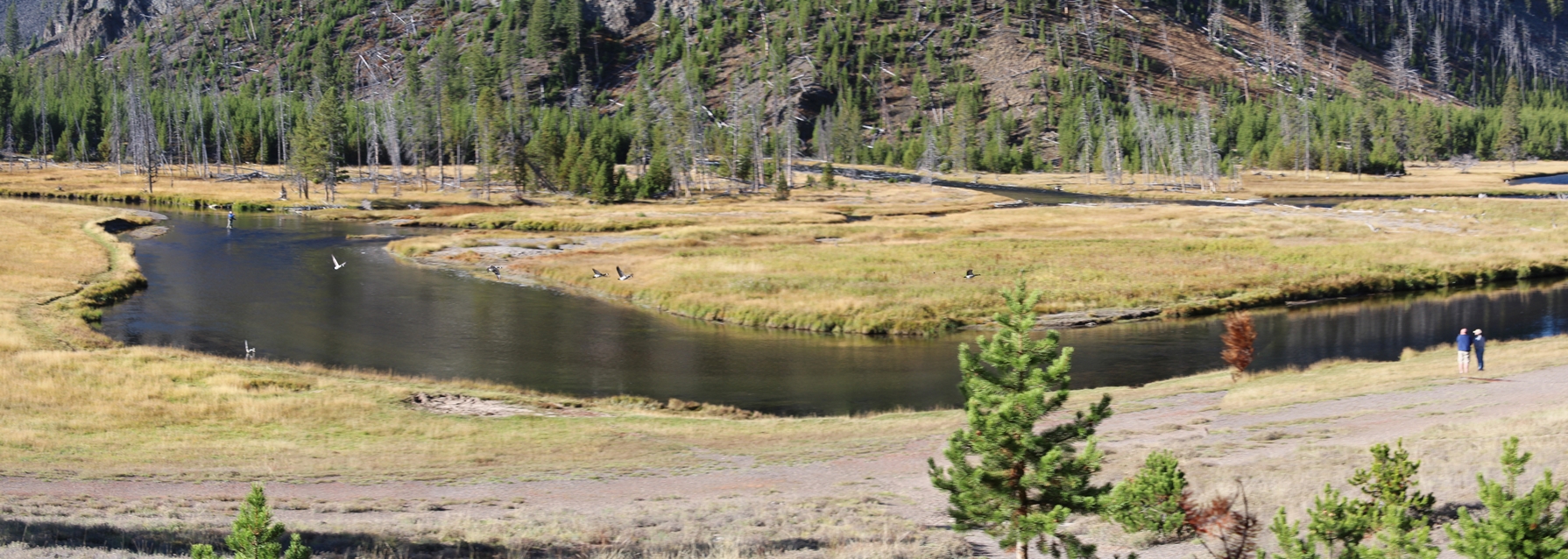
Gibbon, Madison, and Firehole River Fork
(Click on Images for Larger Picture)
|
The
two photos above are of the fork of the three
rivers, Gibbon, Madison, and Firehole Rivers.
This spot was just outside of Madison Campground
near the west entrance of the park. Apparently
it is featured regularly in photos, commercials and
videos themed around fishing. I will have to
look up the detail on that and make any changes
later. I looked at the
spot, I did think it had a familiar look and feel
about it, but then Lisa mentioned that she read the
previous fact about it.
The
last photo was actually made up of four different photos. I was trying to get
some photos of the ducks taking off from the river.
When I looked at the photos later, I realized that they
would make a great panoramic of the ducks taking
off. While you see five in the picture, there
are in reality only two that were taking off.
The software cropped out the last set of them flying
by the people on the bank, but I still got a great
effect with this photo.
|
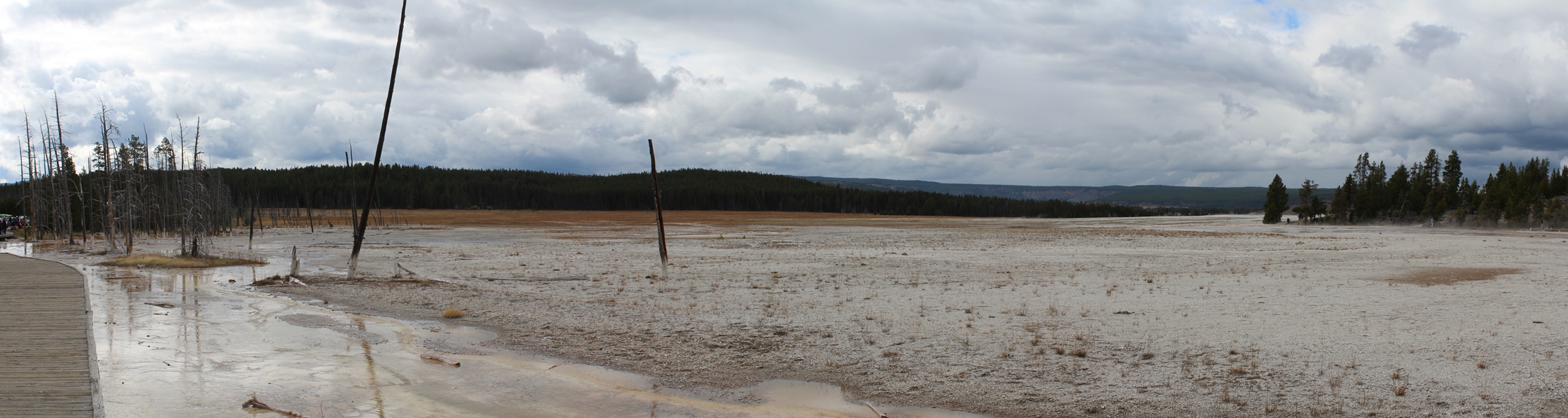
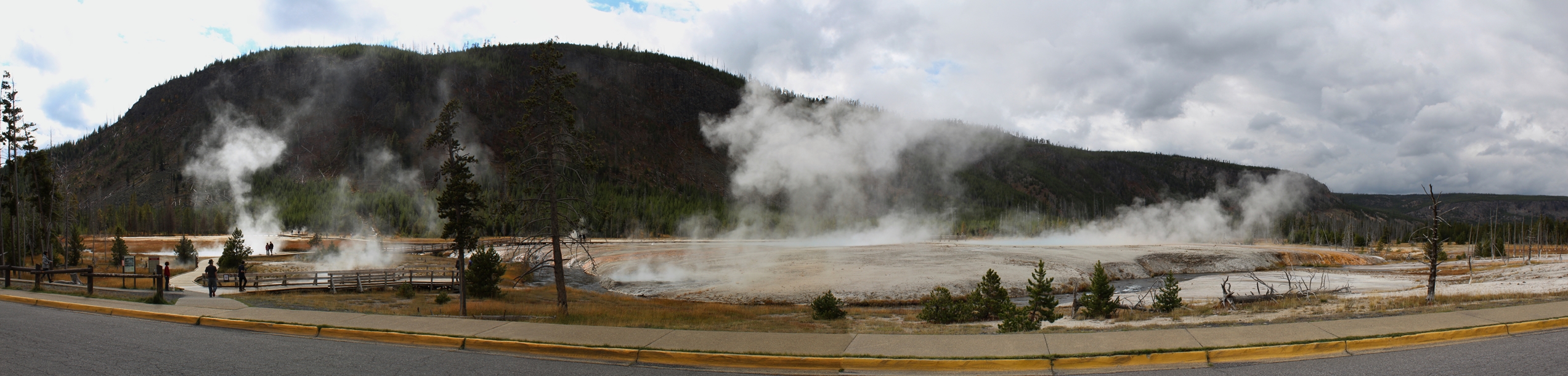
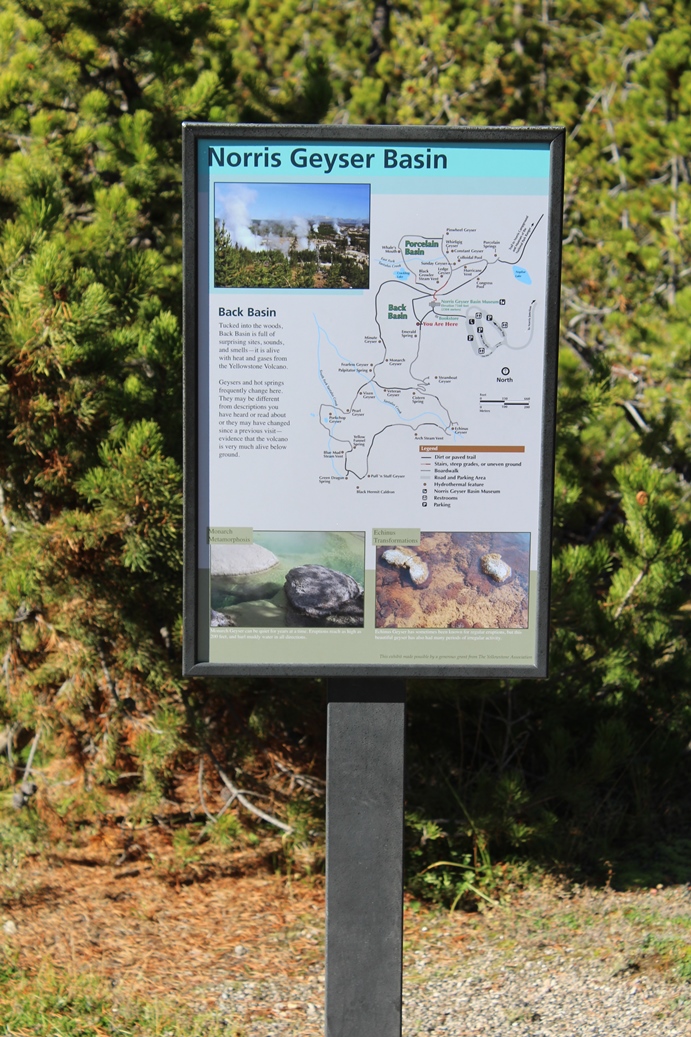
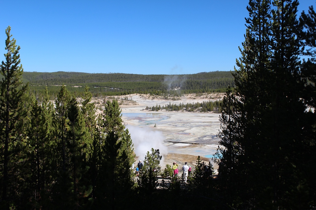
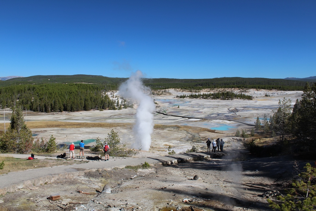
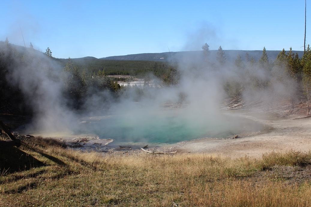
Norris Geyser Basin
(Click on Images for Larger Picture)
|
Our
last stop on our way out of Yellowstone was Norris
Geyser Basin. This is a fairly large area with
quite a few boardwalks and hiking trails.
While I wanted to explore more, we really need to
get on the road. Unfortunately I did not
realize how far it was from her to the northeast
gate, but it was quite a hefty distance.
However, the drive was definitely worth it as you
will see below in the final set of photos "The
Coulter Pass."
|
Panoramic
(Click on Images for Larger Picture)
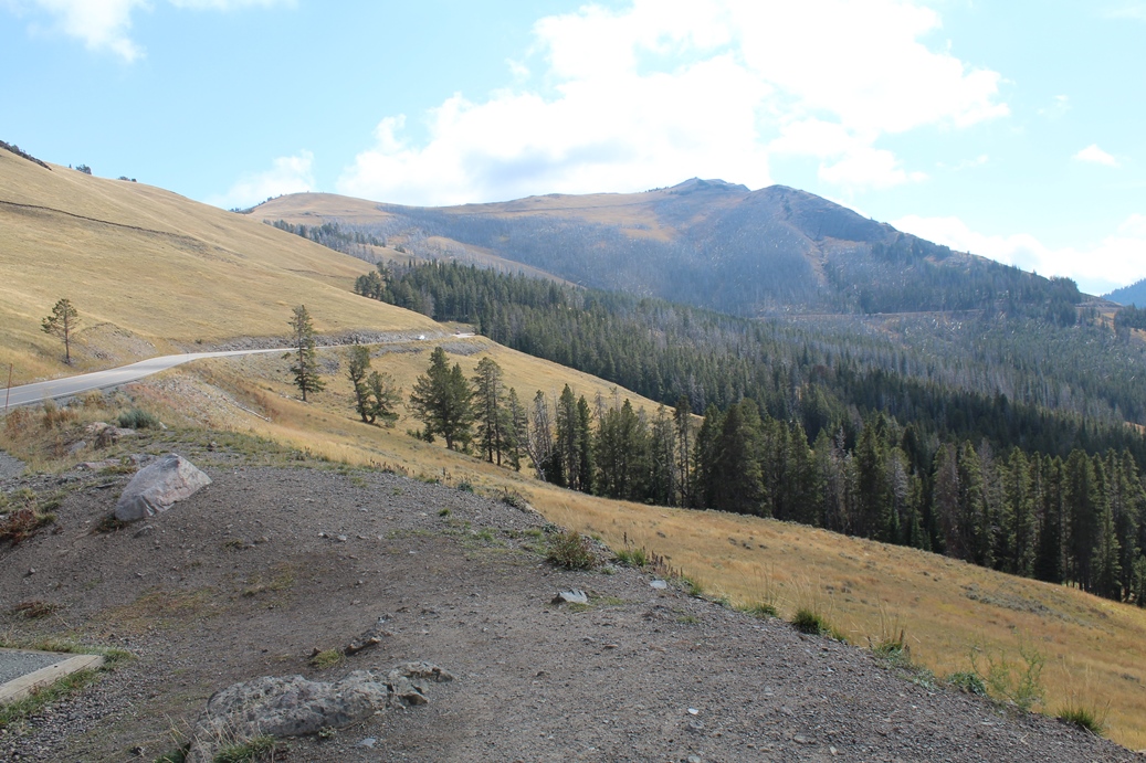
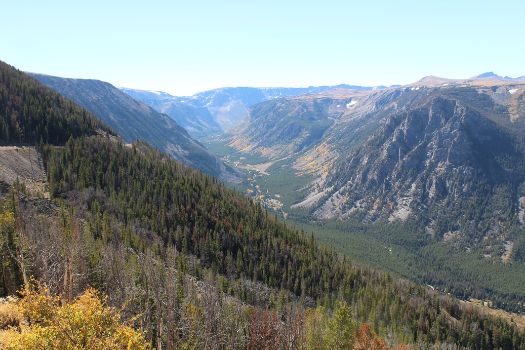
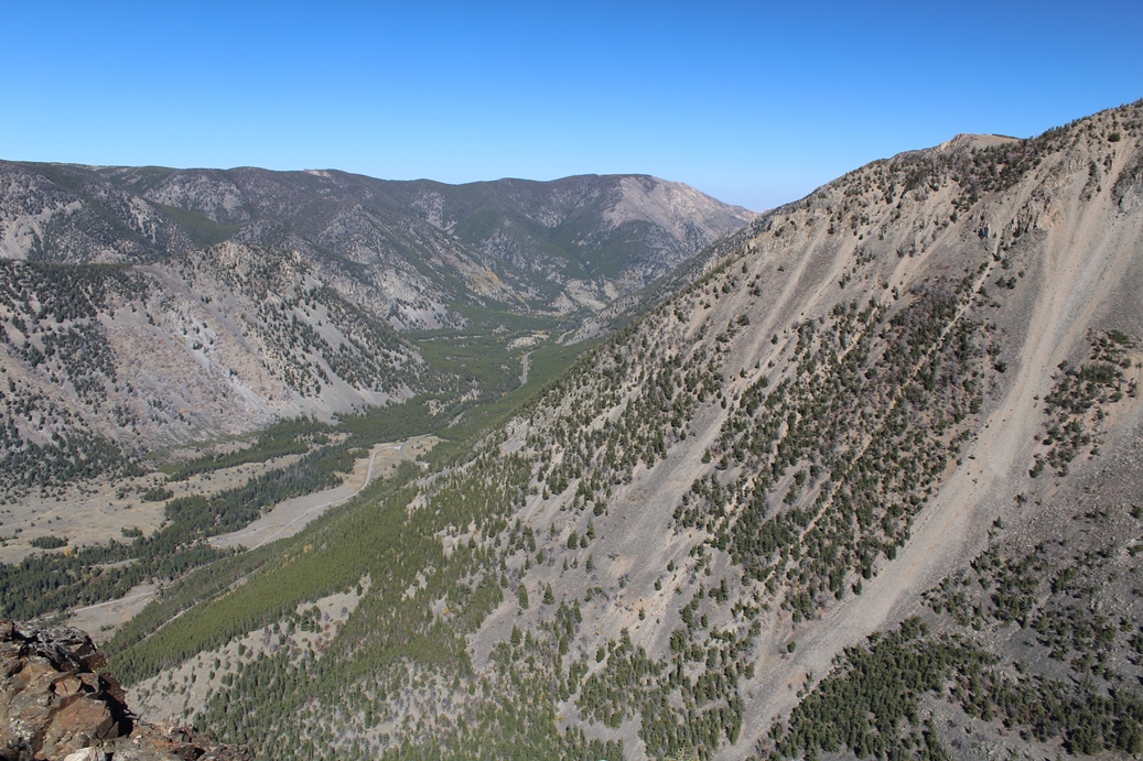
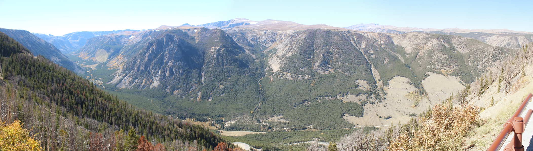
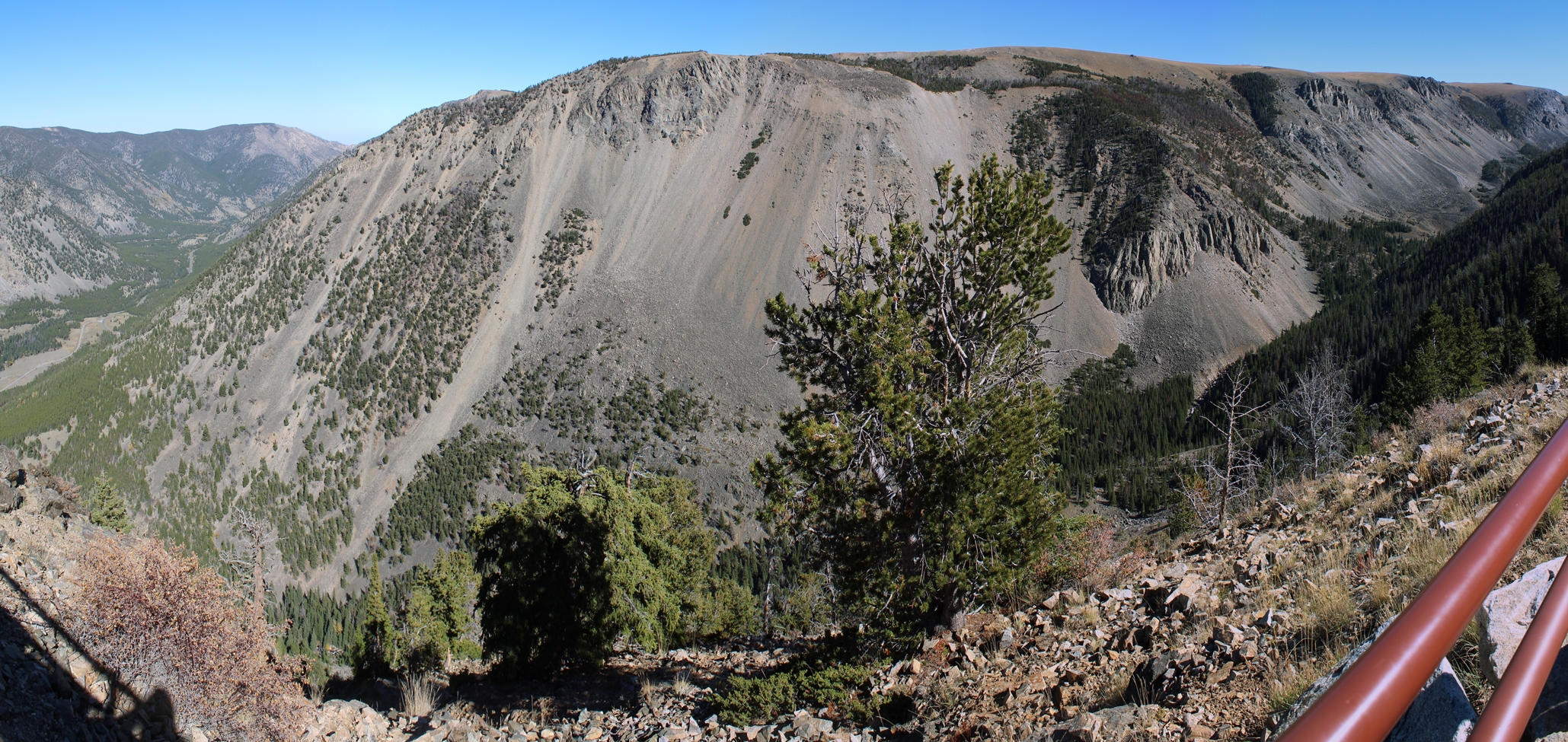
The
Coulter Pass
(Click on Images for Larger Picture)
|
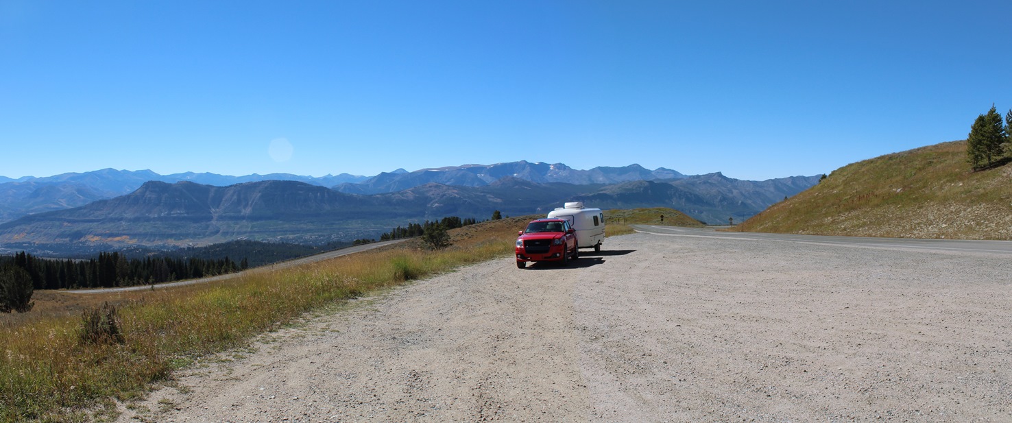
When
we left the park, we decided to go out the Northeast
Entrance. We were on our way to the Little
Bighorn Battlefield National Monument in Montana,
and this was the most direct route. It was a
very interesting drive to the gate, and it did take
considerably longer that I thought it should, but it
was worth the drive. The road also took us up
to 10,000 feet through Coulter Pass. The first
few photos are of the area just before entering the pass,
while the last five were at a rest area on the other
side. I highly recommend this route, but only
if the weather is favorable. Also, please keep
in mind that if you are driving a larger RV or
pulling a fairly decent size trailer, you may not
want to take this route.
|
Panoramic
(Click on Images for Larger Picture)
|
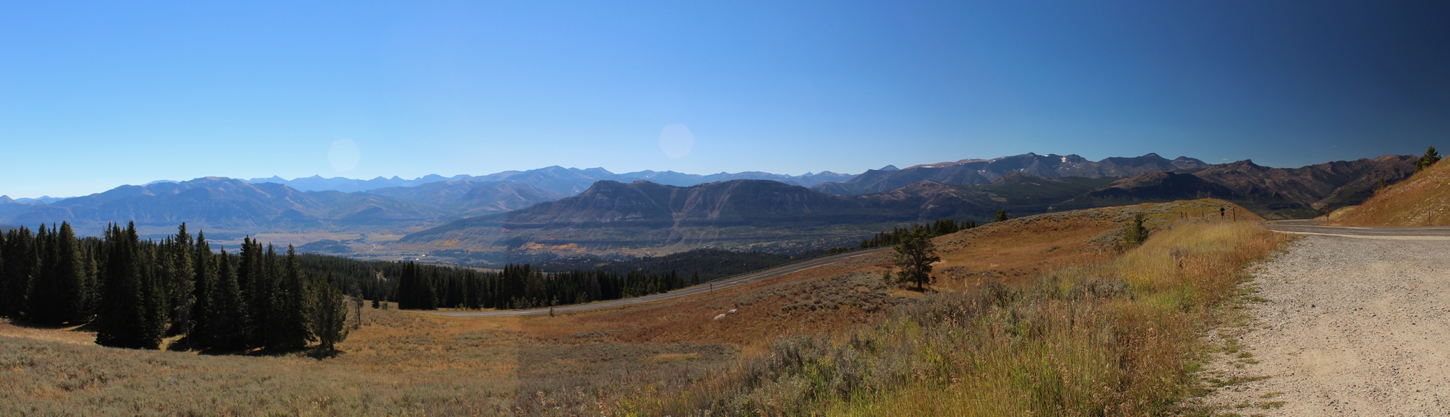
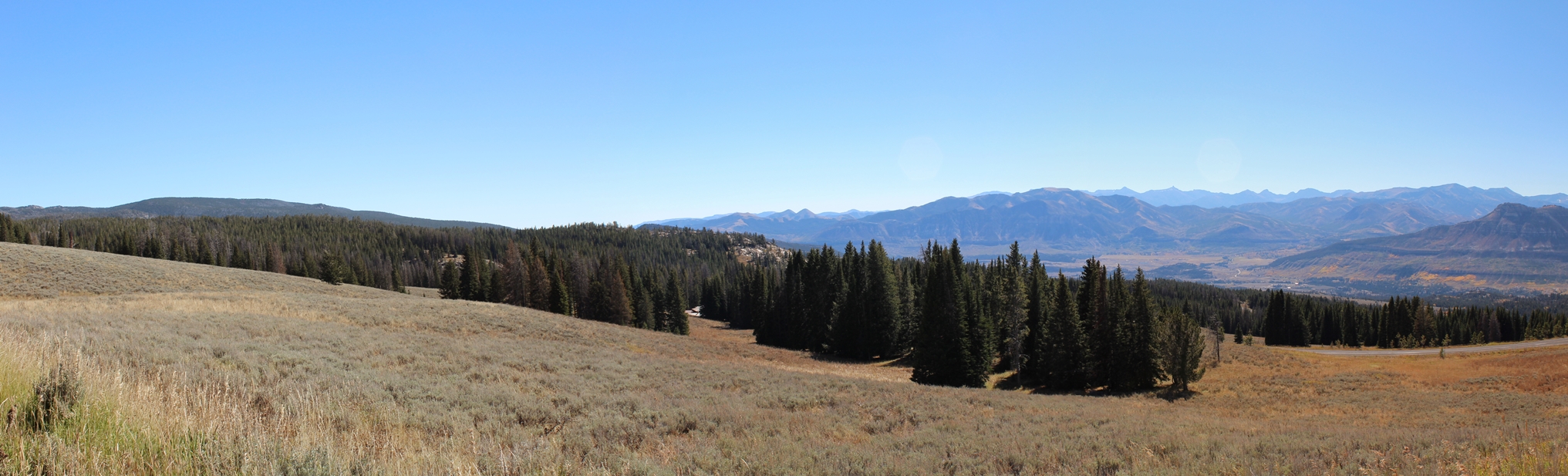
As I
mentioned above, these photos were just before our
ascent into the Coulter Pass. We did not
realize how high we were actually going until, at
one point, we could see we were above the snowline.
The first photo is were we stopped for lunch.
It had a really great view. The last photo is
still just below the pass, believe it or not.
It was a steep and winding road.
|
(Click on Images for Larger Picture)
|
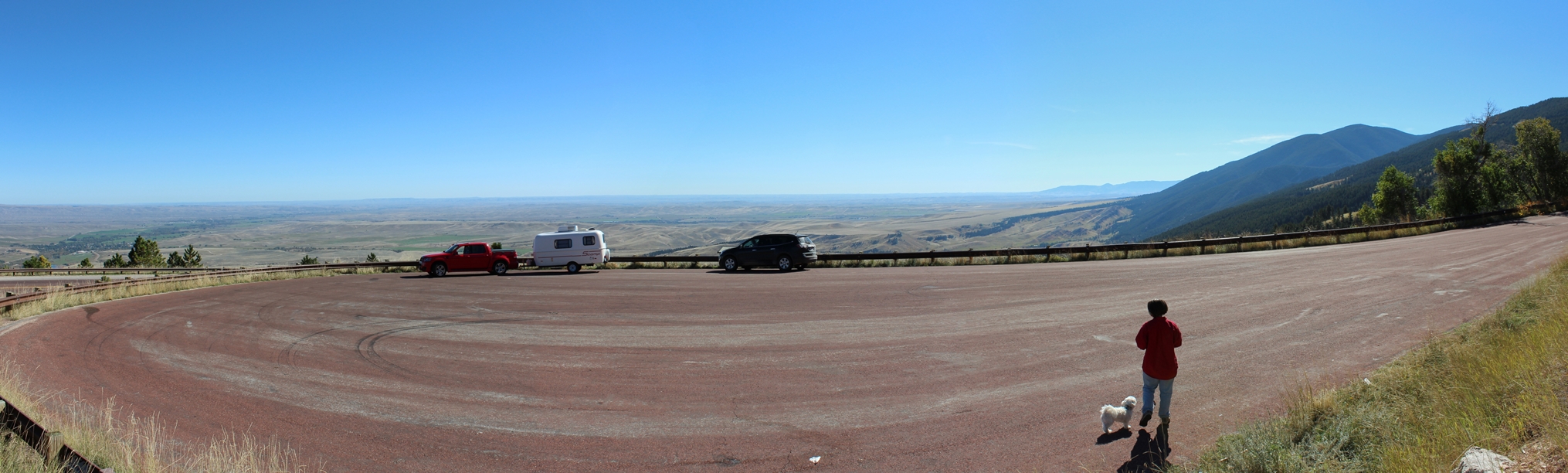
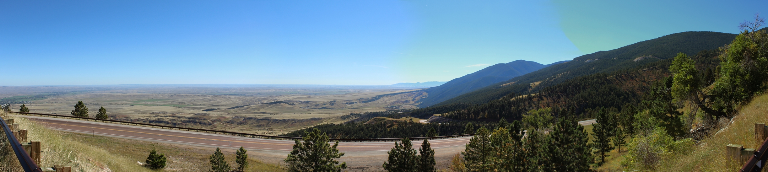
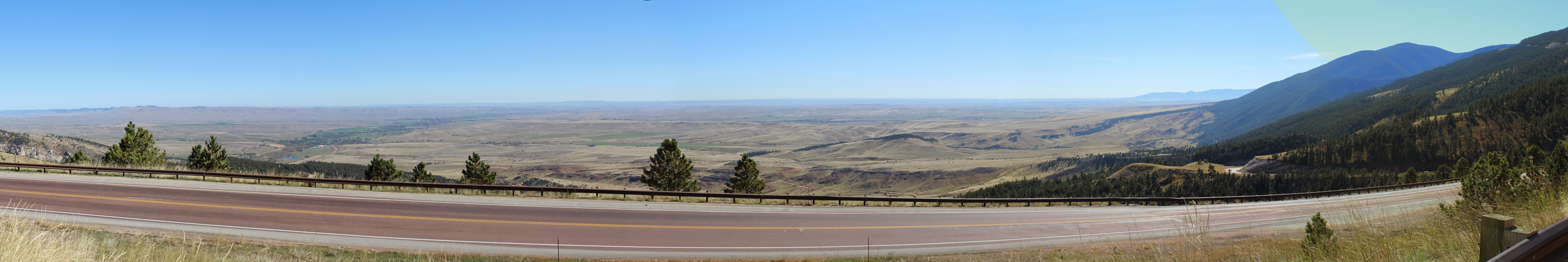
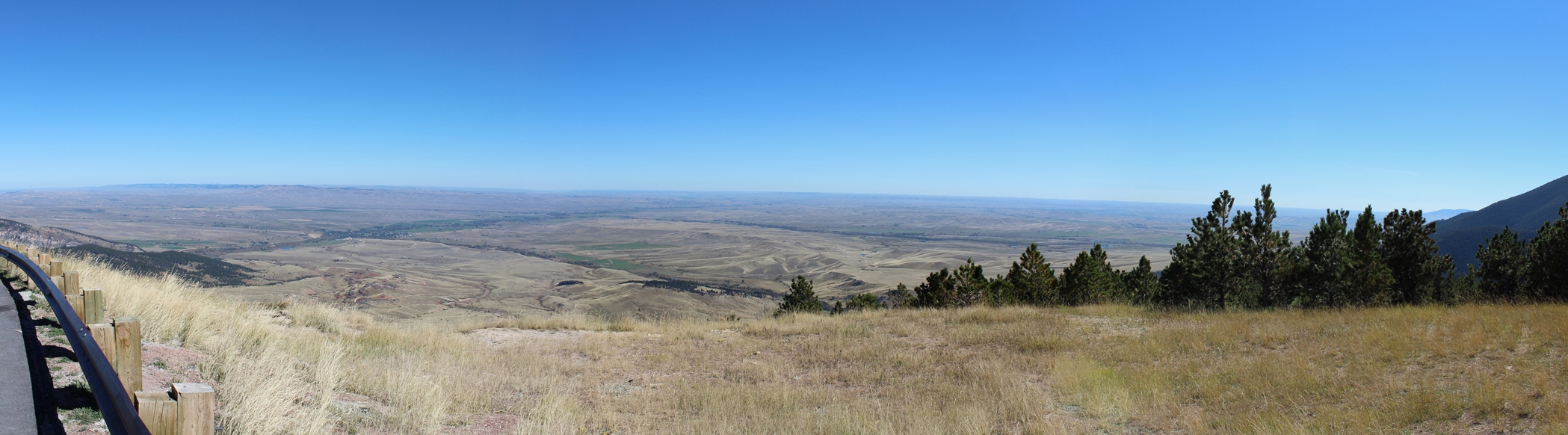
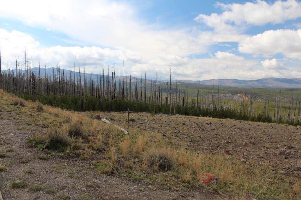
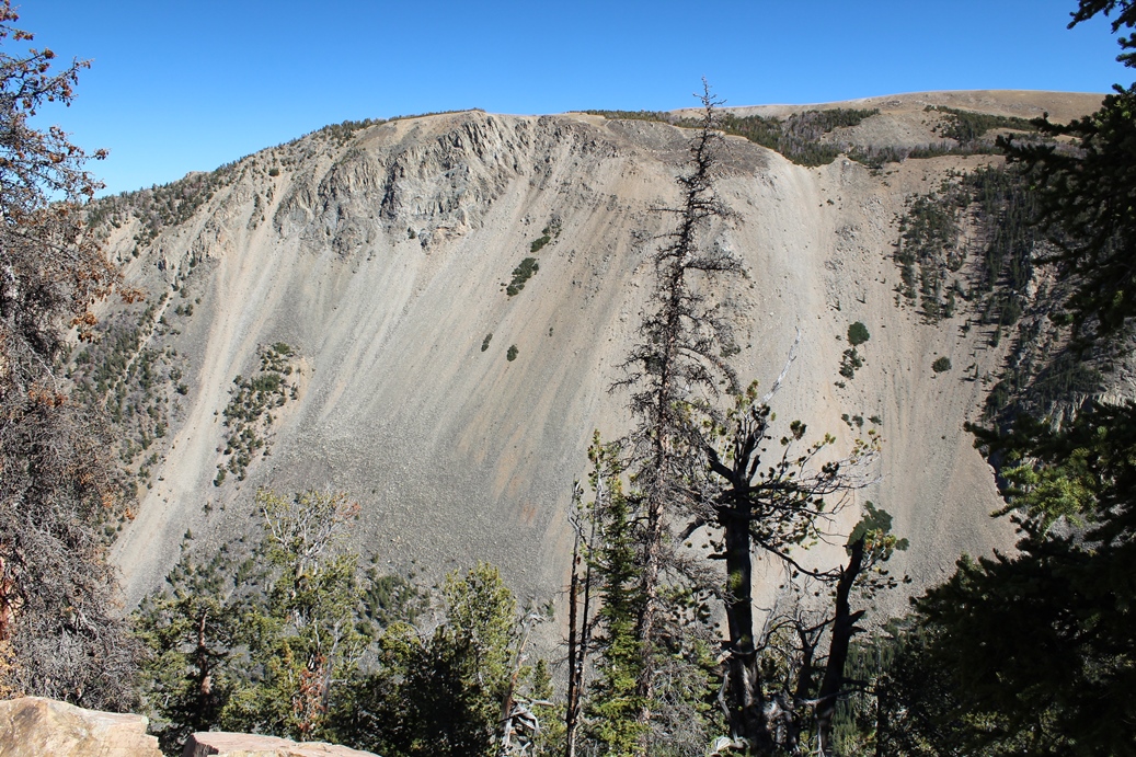
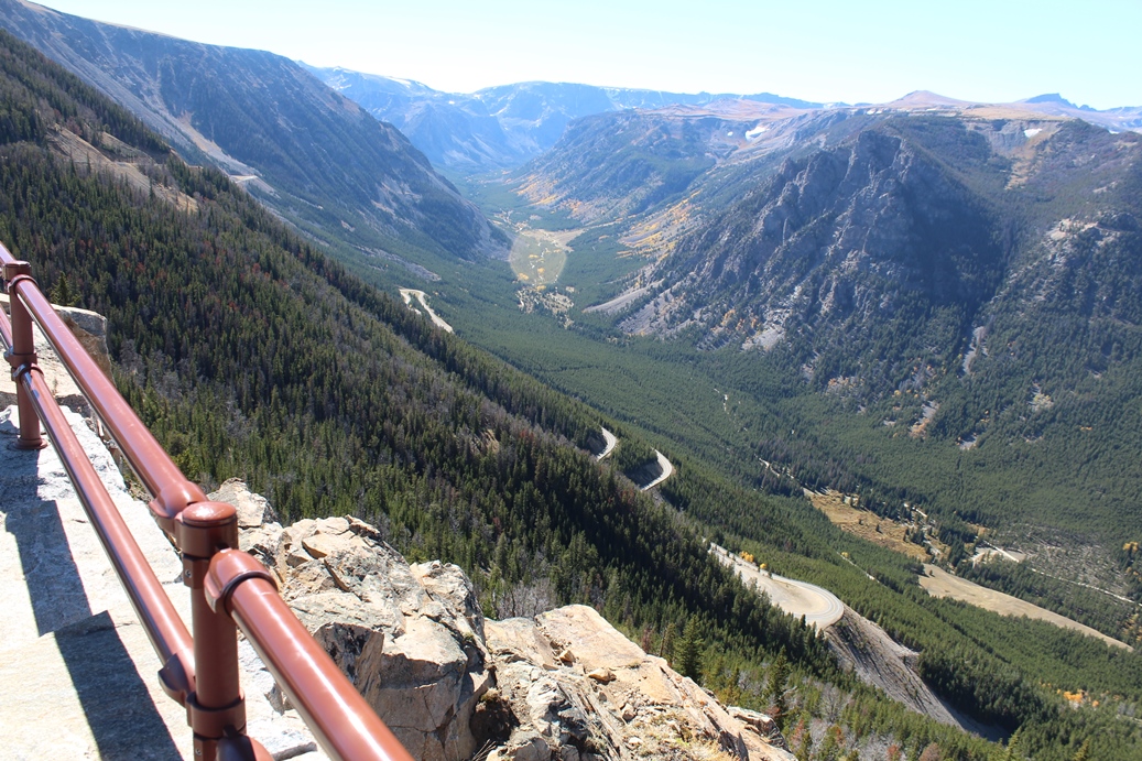
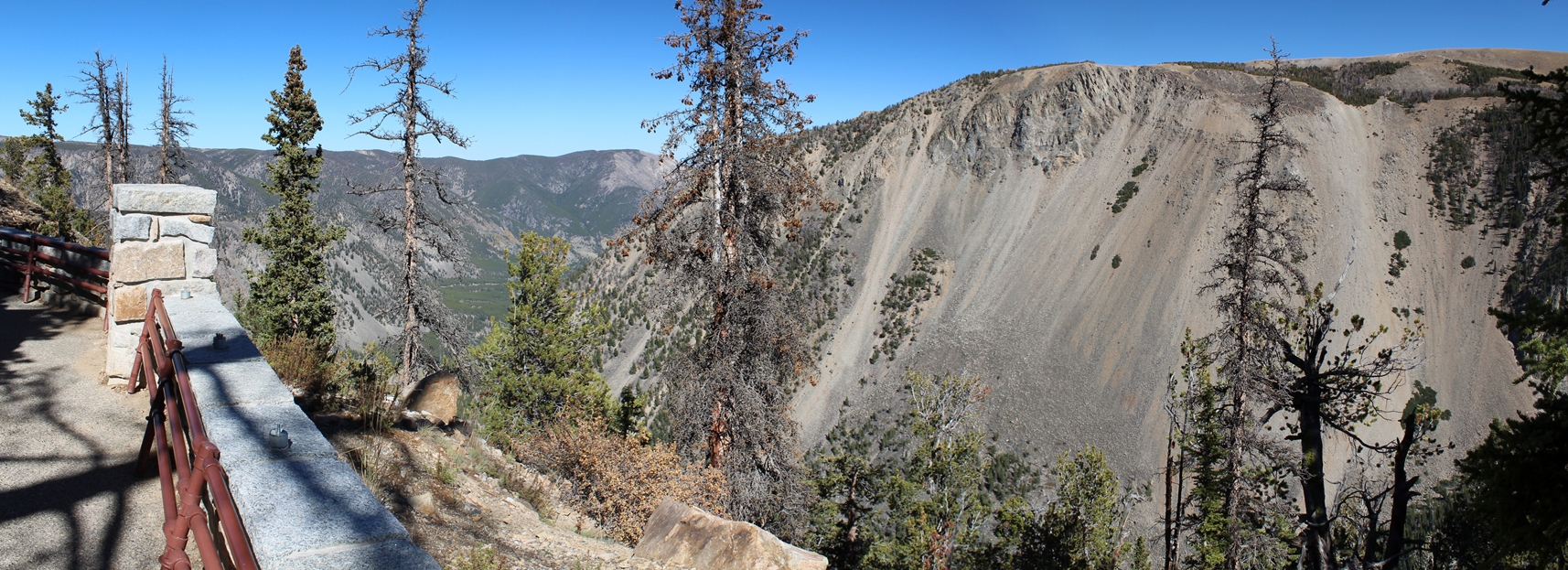
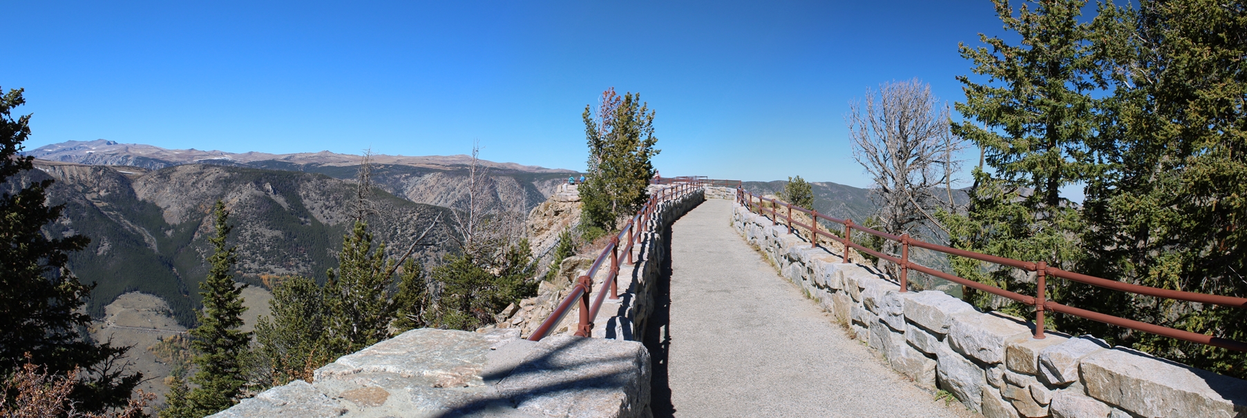
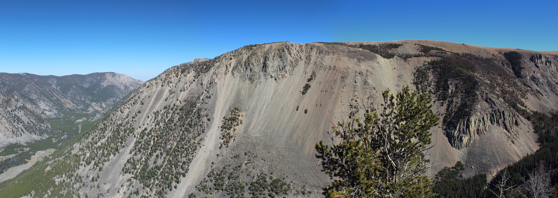
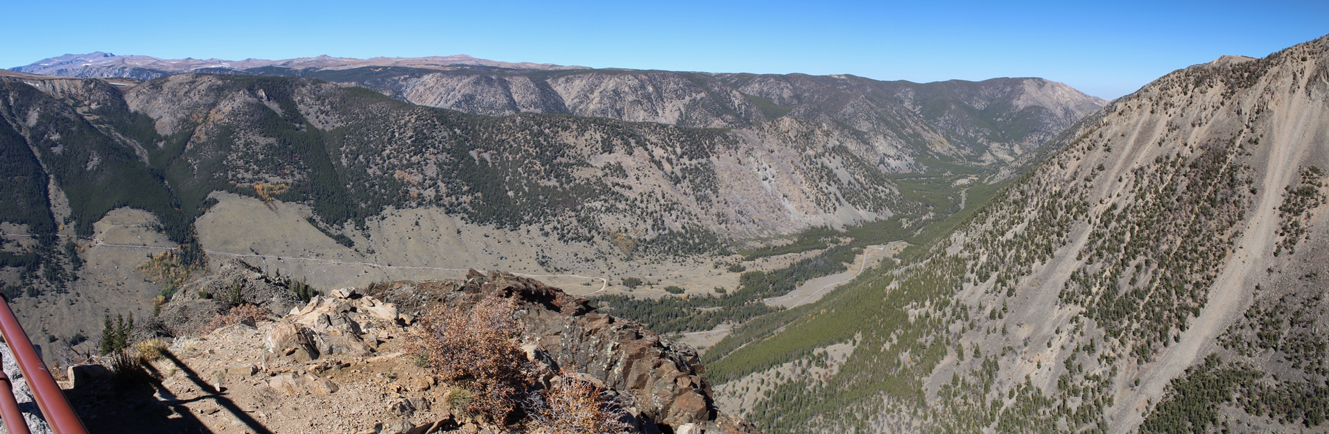
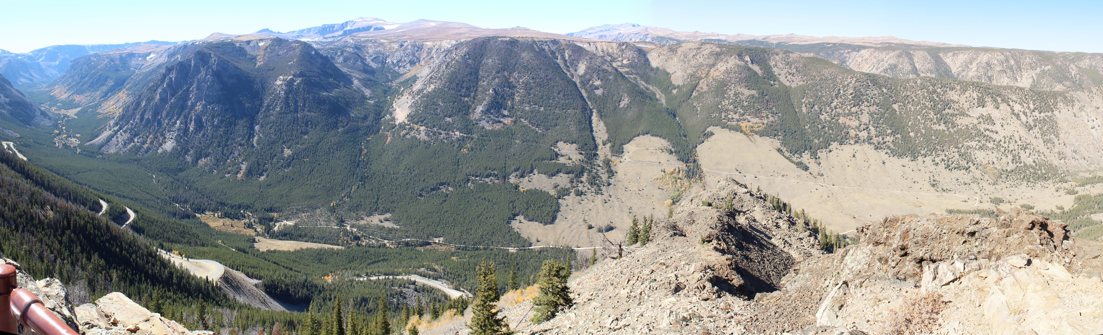
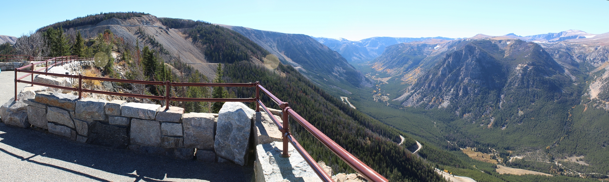
The
photos above are from a rest area, overlook, on the
other side of the Coulter Pass. I did not
catch the official name of this place when we were
there, but for reference on this page I will call it
the Coulter Pass Rest Stop. This was a wonderful
stop and I did not expect to see such a interesting
overlook. If you look closely in the photos
that show the valley floor, can see the road we
ended up on after winding our way down from this
point.
|
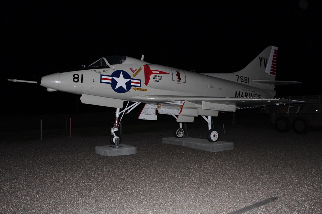
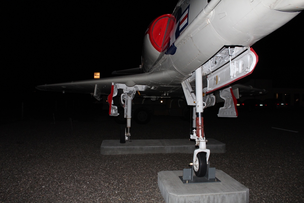
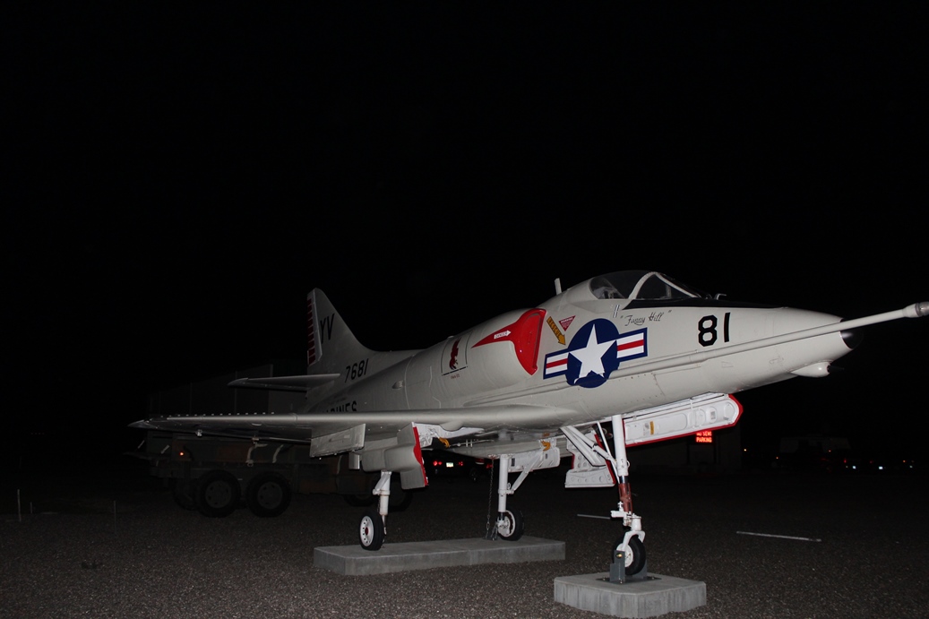
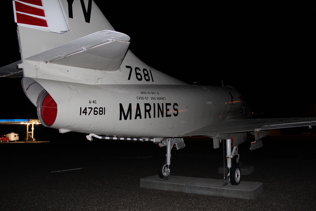
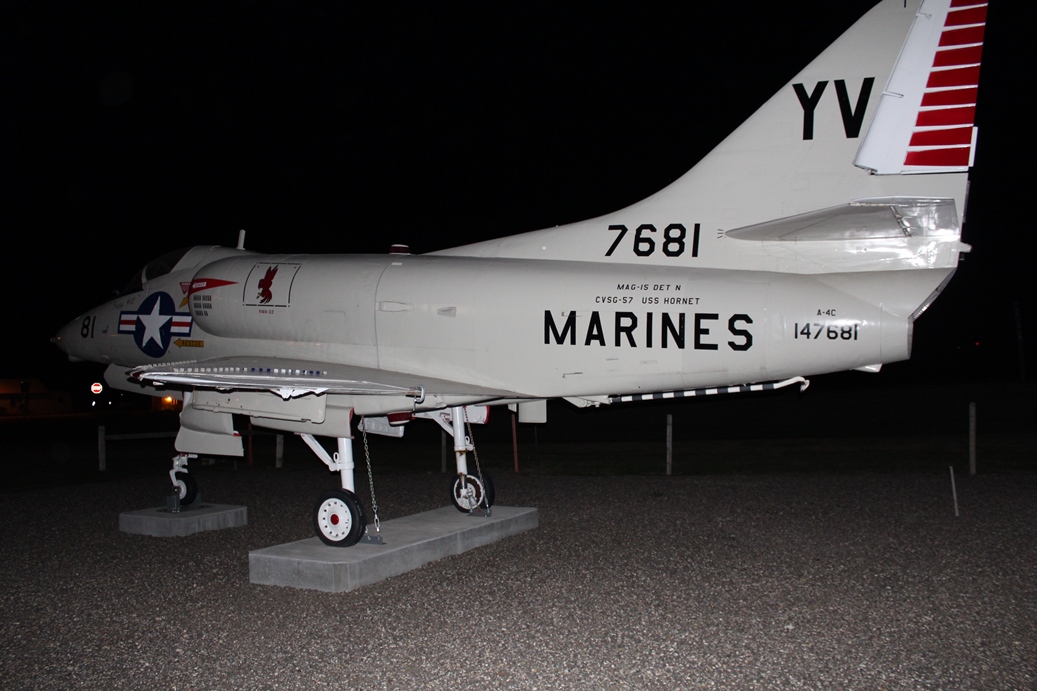
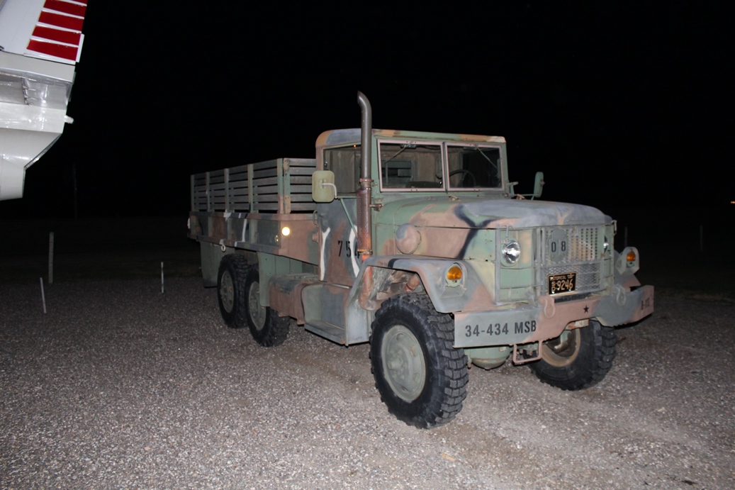
Night Stop
(Click on Images for Larger Picture)
|
These photos were actually taken a couple of nights
later on our way home from the Little Bighorn
Battlefield National Monument. We stopped for
gas and found a military museum of some sort right
next door. I was really happy with the way the
photos turned out in the pitch black of night.
I would have loved to stay around and checked out
the rest of museum in the morning, but we still had a long
way to go before we reached home. It just goes
to show that you never know what you are going to
come across in your travels.
|
|