The Grand Canyon was the third stop on our trip. Again, the extremes in environment continued to take me by surprise. While we drove through the Arizona desert to get here, the park seemed to be relatively comfortable as far as the temperature went, and the altitude of the park was around the 8,000 foot mark.
(Click on Images for Larger Picture)
|
|

|
|
|
|
|
|
|
|
|

|
|
|
|

|
|
|
|
|
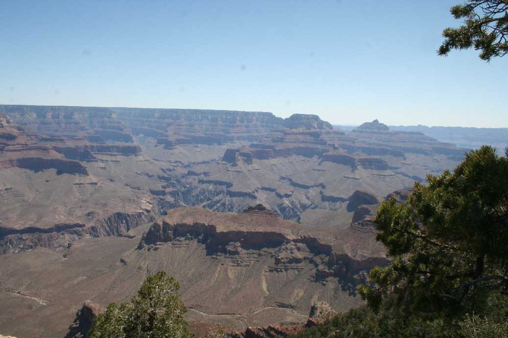
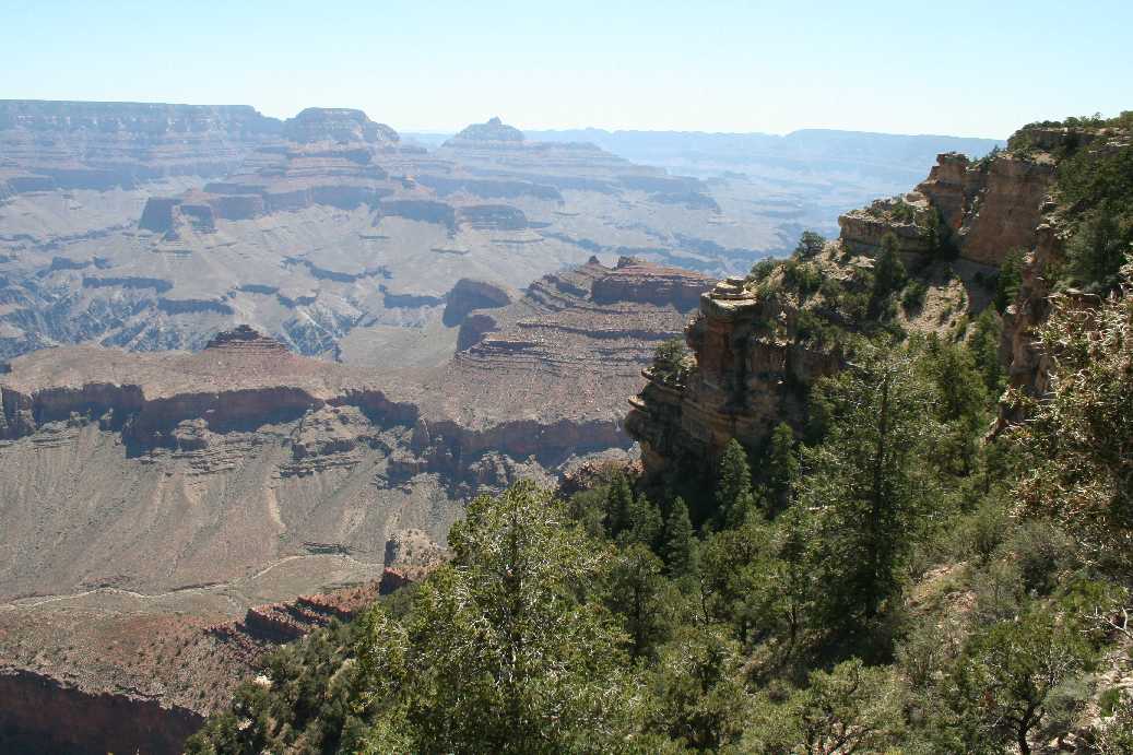
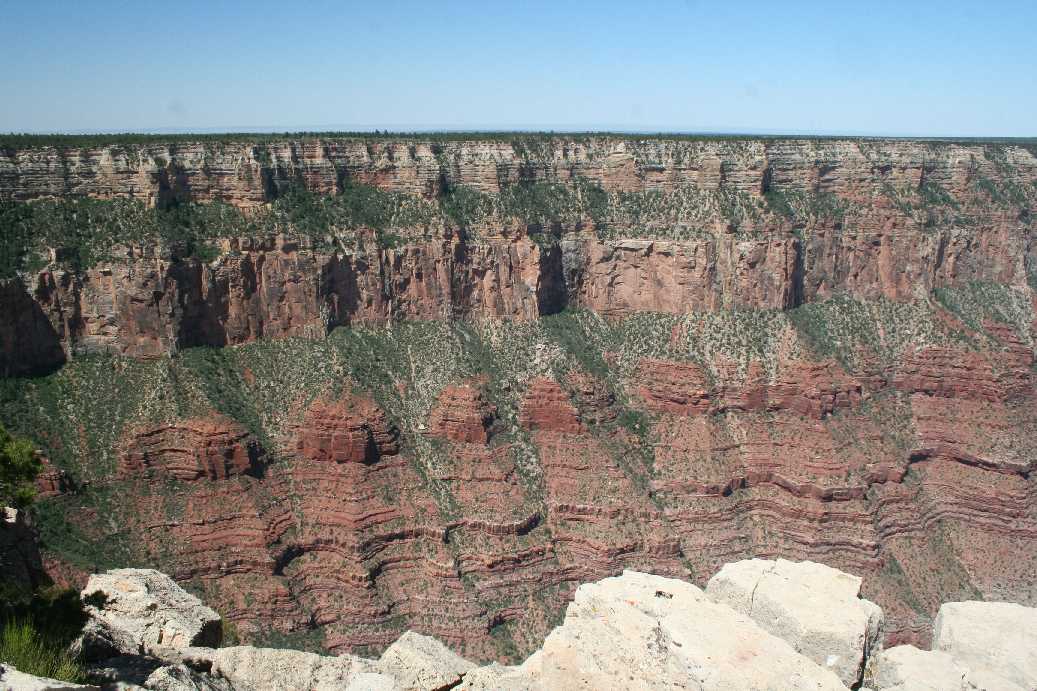
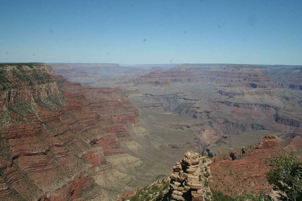
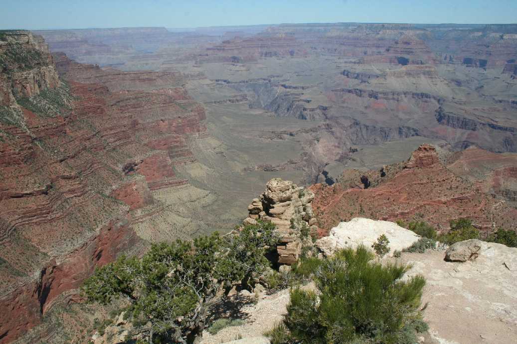
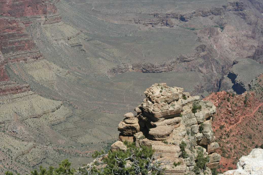
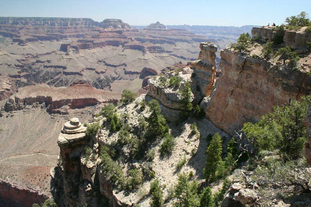
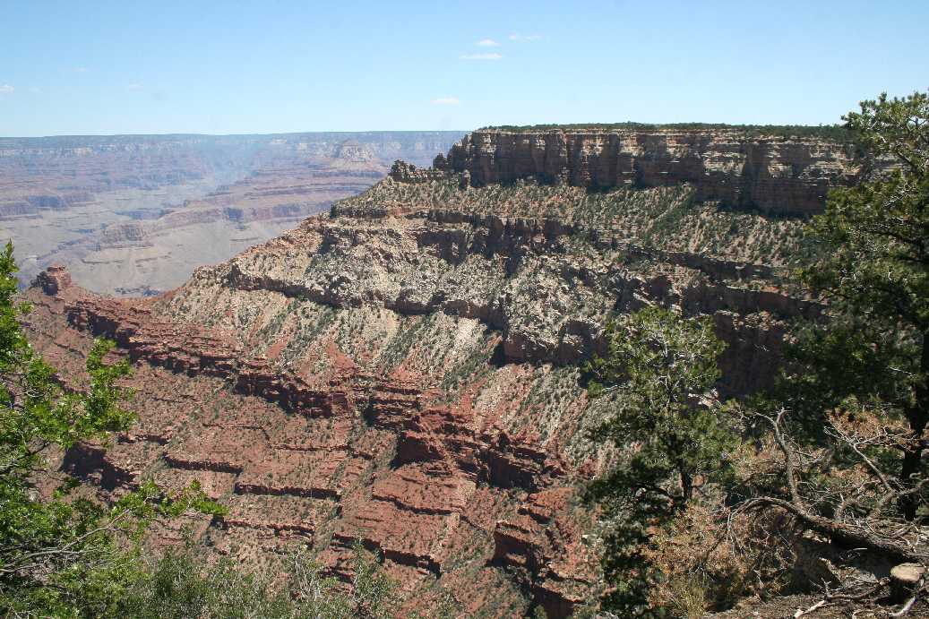
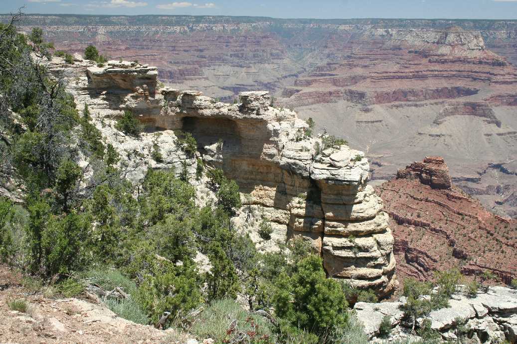
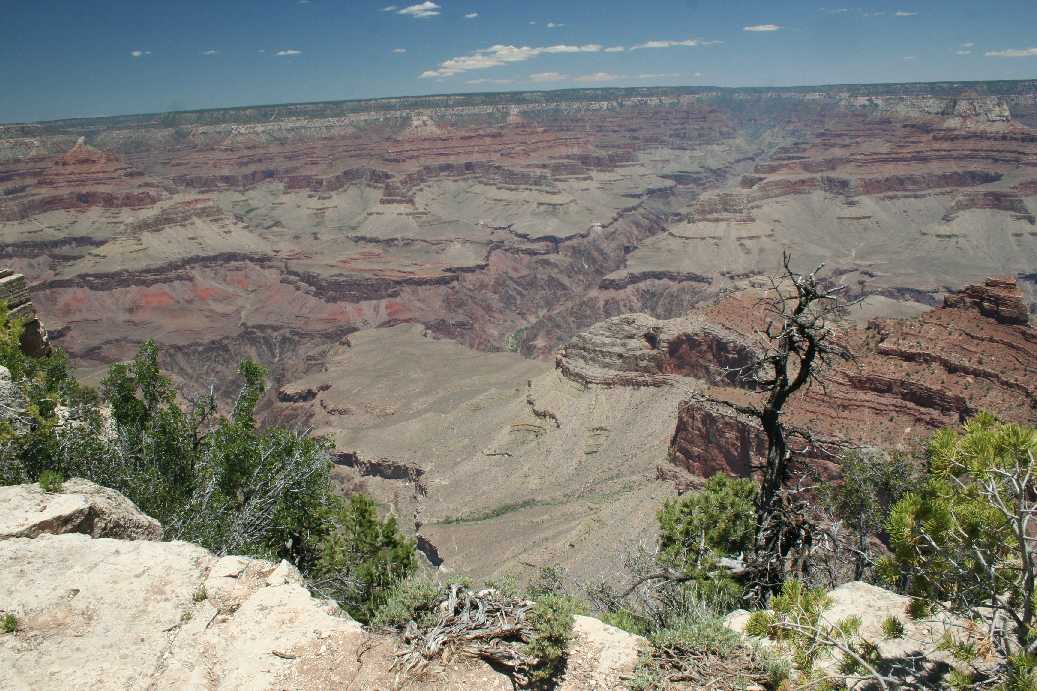
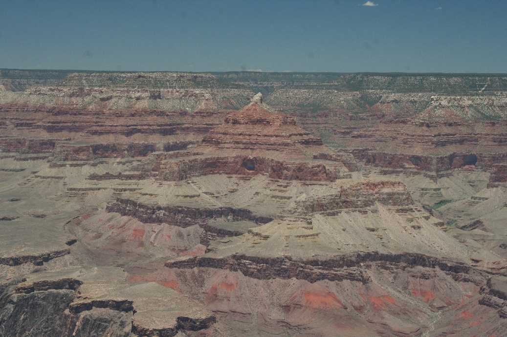
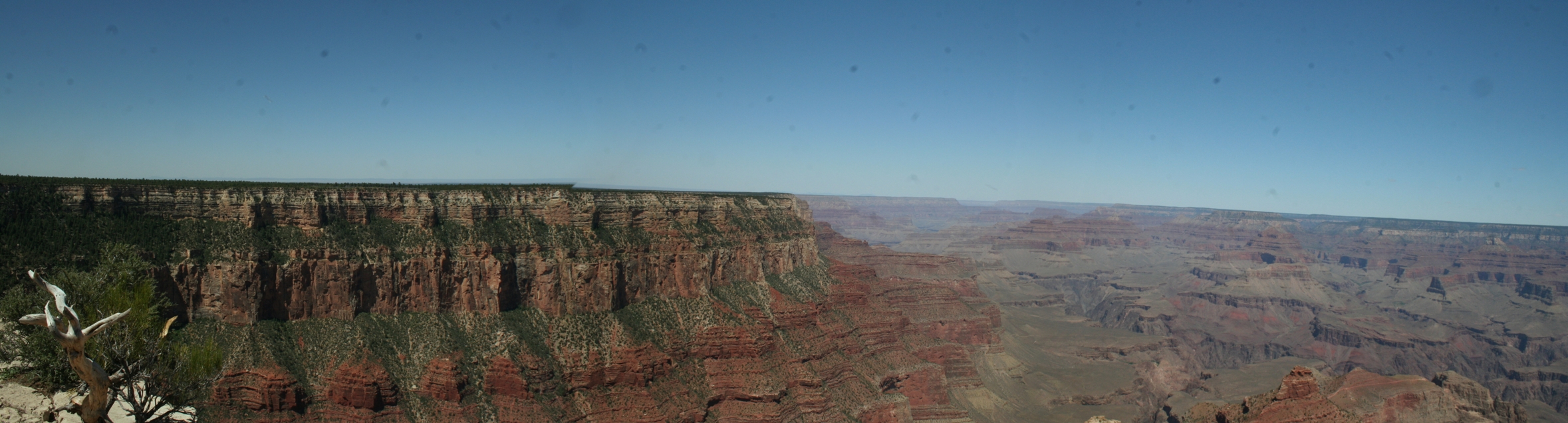
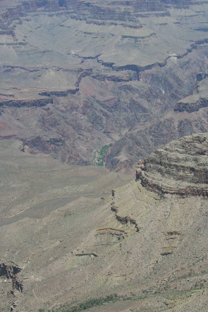
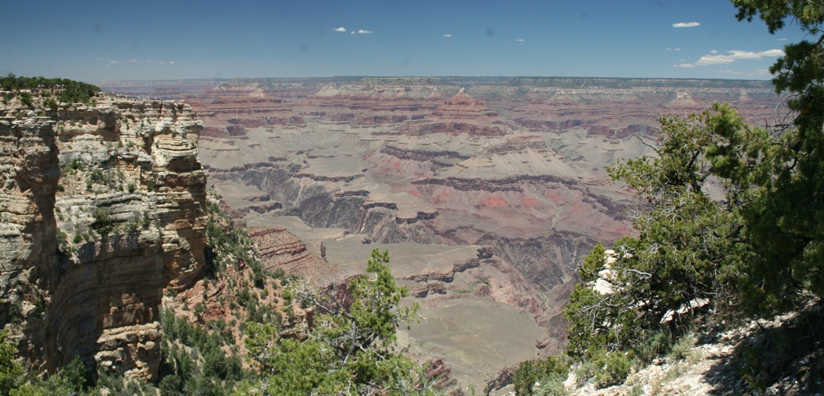
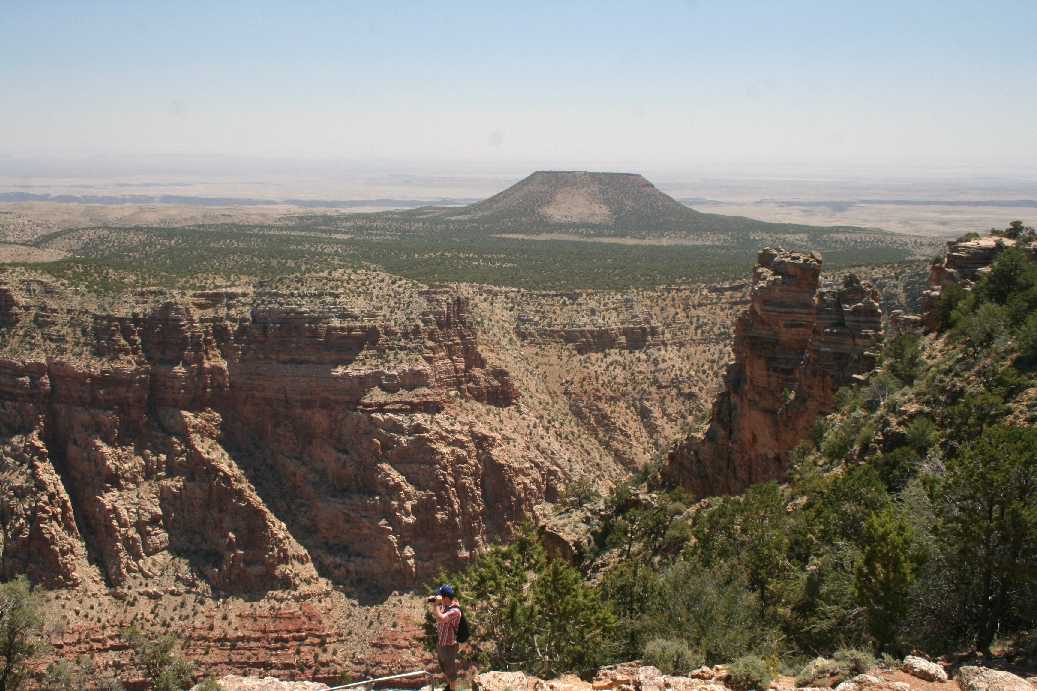
We started the day by hopping on one of the buses that ran near the campground, and rode it to the visitors' center about a mile or so away. From there, we rode another one out to Yaki Point. The first ten pictures in the series above were taken from that location. I would like to point out that if you look closely at the pictures, you will see many trails that lead down and through the canyon. They may look relatively easy to get to, but keep in mind, that the are nearly a mile down. The eleventh and twelfth pictures were taken from Pipe Creek Vista. The point in the center of the picture is Yaki Point and is about a mile away. The rocky peak immediately in the fore ground of the first picture in row three can be seen in center of the third picture in the same row. |
(Click on Images for Larger Picture)
|
|

|
|
|
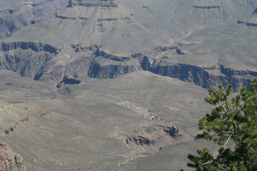
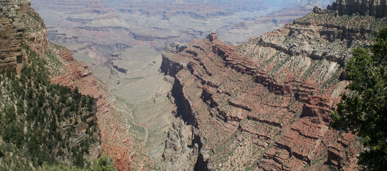
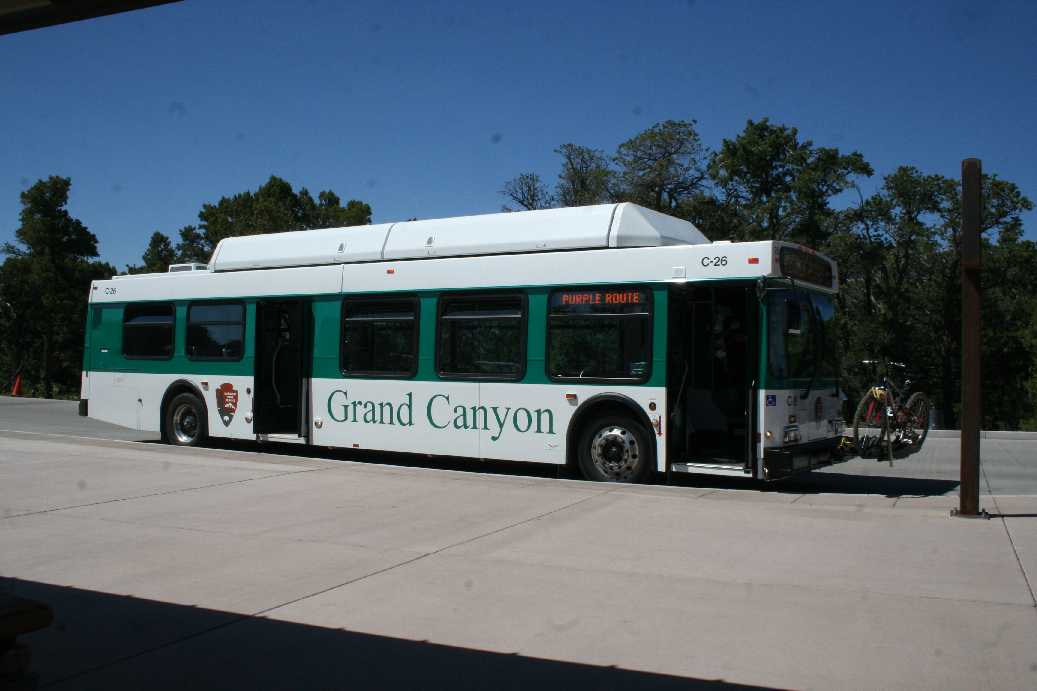
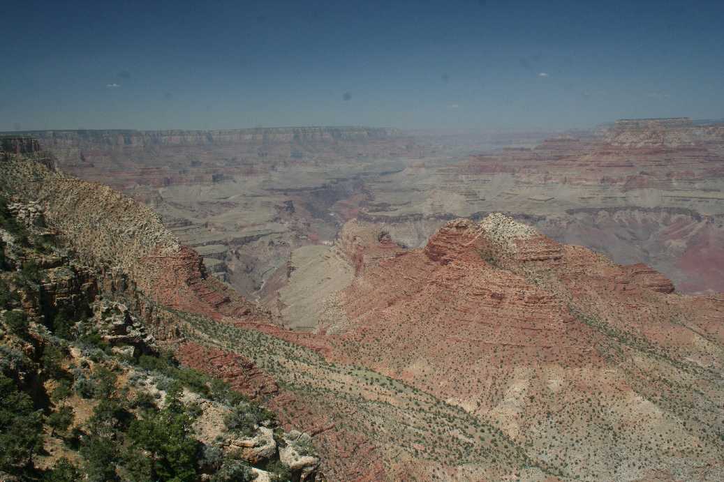
If you look at the center of the first picture of the second row above, you can see a faint green area far off in the distance. The top picture is the same location zoomed in. We believed it was the hike-in camping area at the bottom of the canyon. Just a note, the temp was around eighty degrees where we were standing, and down by the river, it was closer to one hundred degrees. The last picture is of one of the buses that are free to use by the visitors of the park. It is a pretty handy system that was put in place to help cut down on private car traffic. Most buses come around every fifteen minutes with a couple that come around once every half hour. The reason I snapped the picture is because of the interesting feature on the front of the bus. For those who like to bike and bus, they have a convenient bike rack to store the bike while you ride the bus. |
(Click on Images for Larger Picture)

|
|
|

|
|
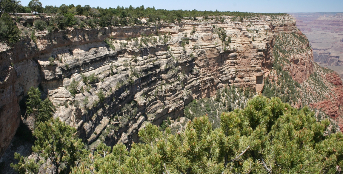
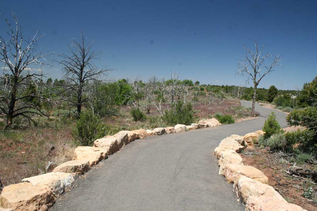
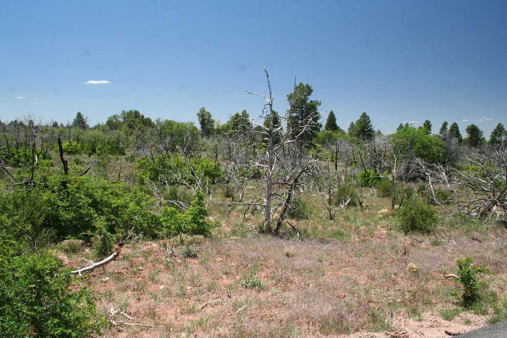
While we enjoyed using the bus system when we could, by the time we decided to start heading back to camp for lunch, the buses were quite full. So we decided to walk the mile back to the visitors' center, then take the bus back to camp. Along the way, we got a better view of the area around the rim. In the pictures above you can still see some of the evidence of fires that occurred in the area. |
(Click on Images for Larger Picture)

|

|
|
Around sunset, we decided to take one of the buses out to Hermit's Rest to see if we could catch the sunset over the canyon. We saw many people at the various overlooks along the way hoping to get the best vantage point. We just decided to go to the end of the line and see what happened. |
(Click on Images for Larger Picture)
|
|
|
|
|
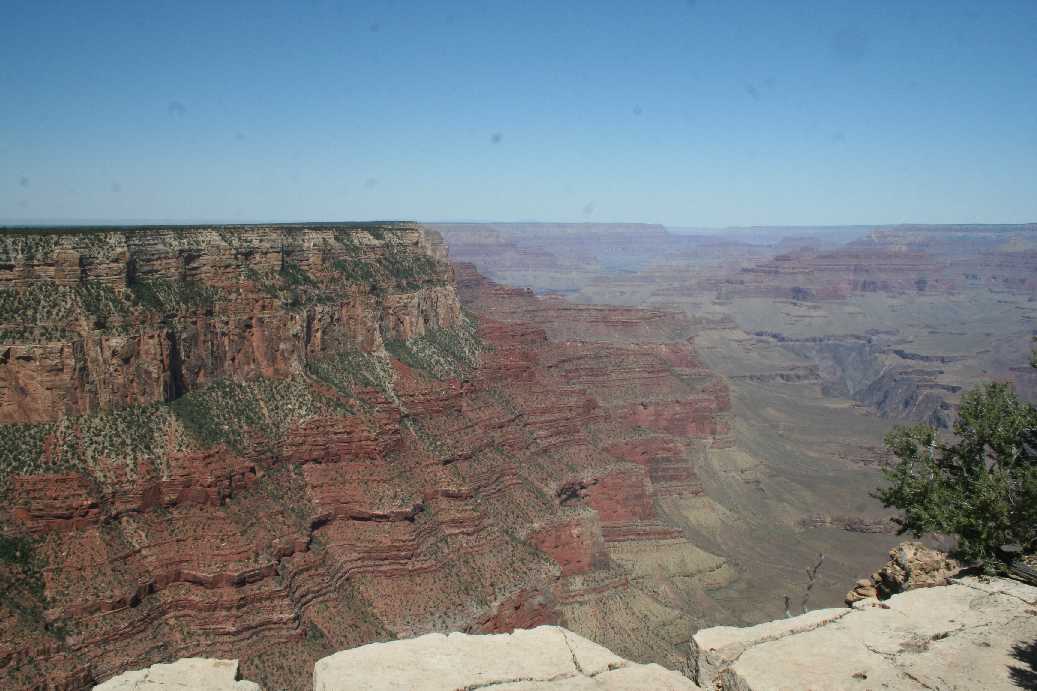
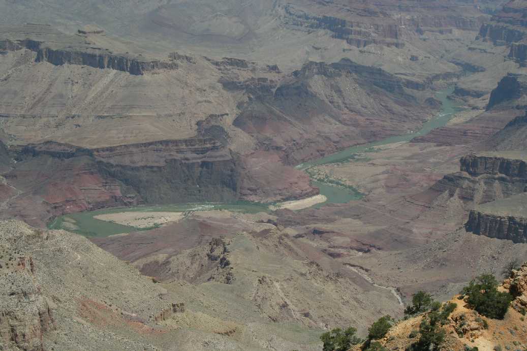
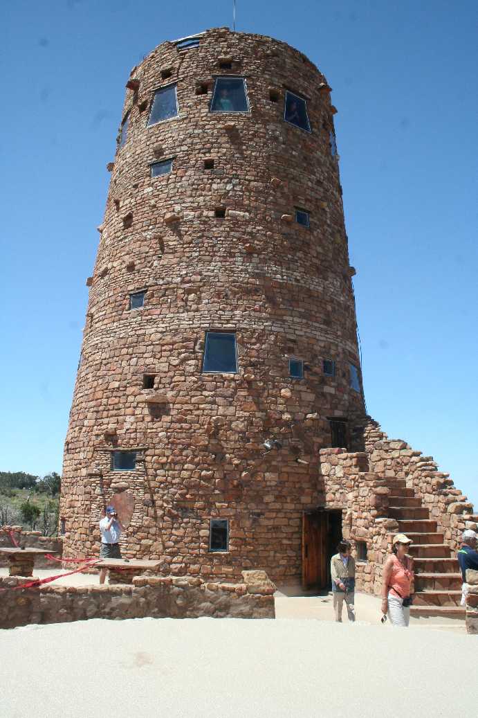
On our way out of the park, we decided to stop by Desert View. The overlook has a good view of the Colorado River. This was nearly the only place that I was able to get a good view of the river going through the canyon. There is also a tower at this overlook and it is open to park visitors. It was built thirty years ago or so and has Native American paintings lining the walls inside. Even though we only spent a day an a half at the Canyon, I could have easily spent a few more days exploring some of the trails. While I would not have attempted to get to the bottom, I wouldn't have minded exploring a bit below the rim. There is one trail that if you start down and decide to turn back twenty minutes later, apparently it takes an hour and a half to go back up. I would be curious to test that. Also, there are a couple of other national parks about an hours drive away: Meteor Crater and the Petrified Forest. Unfortunately, we did not get a chance to get to them this trip, but hopefully the next. |
Trip West Photo Albums
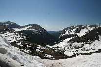
Rocky Mountain National Park, Colorado |
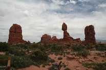
Arches National Park, Utah |
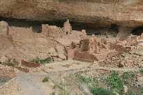
Mesa Verde National Park, Colorado |